Plizio Visual Lab
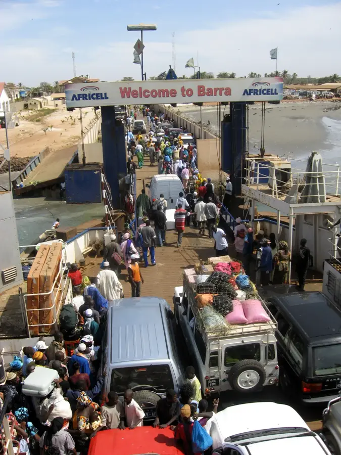
Fort Bullen

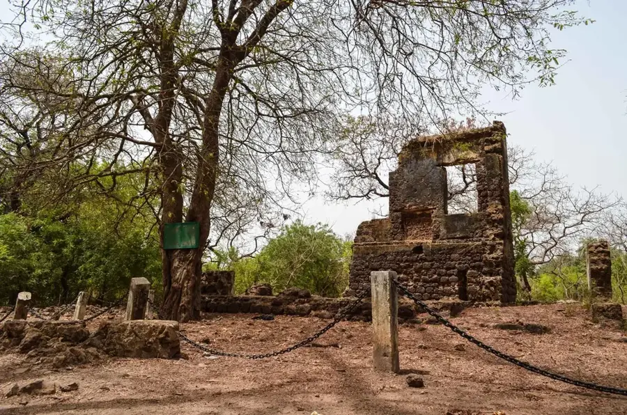
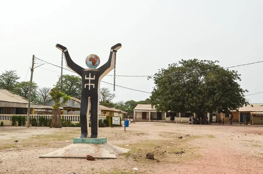
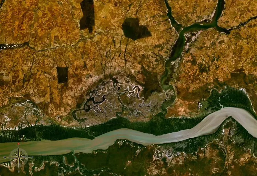
Fort Bullen is a historic fortification located at Barra Point on the northern bank of the Gambia River's mouth. It was established by the British in 1826, specifically to enforce the 1807 Act of Abolition of the Slave Trade by preventing slave ships from entering or leaving the river. The fort was named after Commodore Charles Bullen and played a crucial role in the military control of the region during the 19th century. Its strategic location allowed the British to monitor maritime traffic and defend against French naval interests in West Africa. The structure is built with local laterite stone and originally featured several cannon batteries. Today, it stands as a UNESCO World Heritage site, forming part of the James Island and Related Sites collection. During World War II, the fort was briefly reactivated by the British as a lookout post for German U-boats. The site remains a powerful symbol of the resistance against the transatlantic slave trade and attracts numerous history enthusiasts.
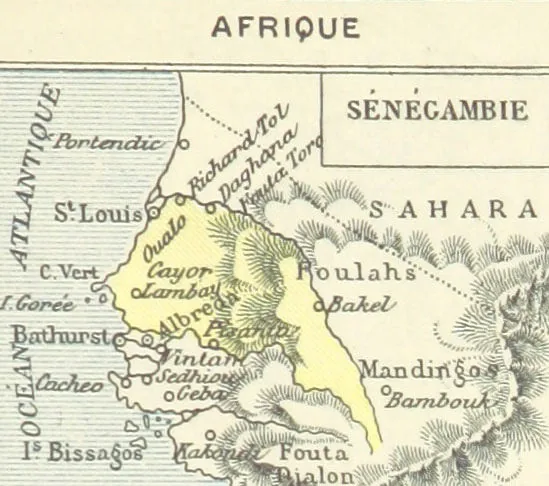
- Location: Gambia
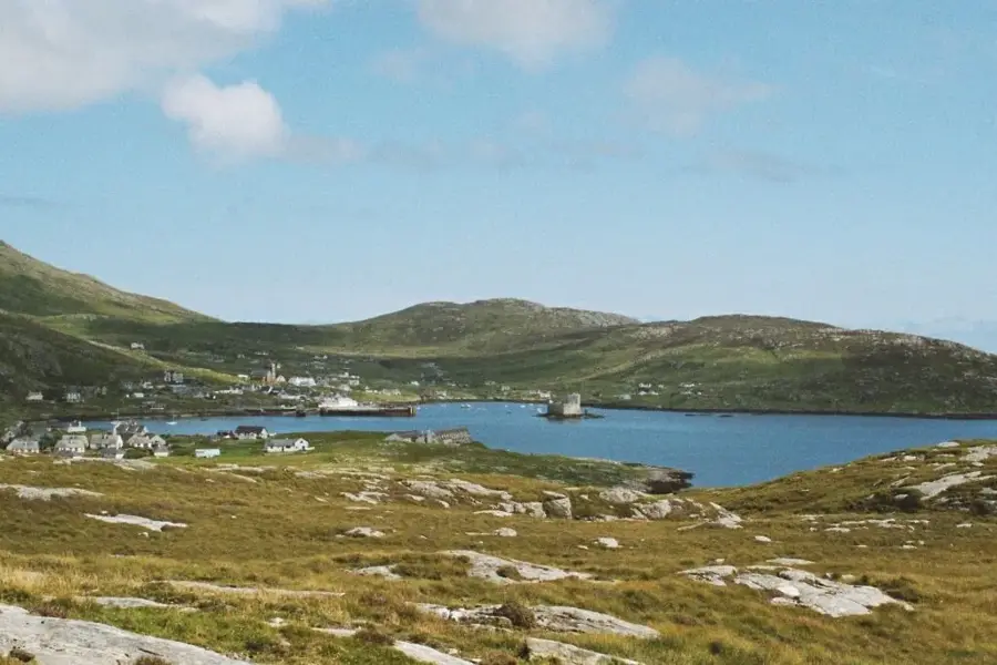
- Nearby: Old Jeshwang (12 km)
Best time to visit & climate
The most pleasant time to visit is Jan, Feb, Dec.
| Jan | Feb | Mar | Apr | May | Jun | Jul | Aug | Sep | Oct | Nov | Dec | |
|---|---|---|---|---|---|---|---|---|---|---|---|---|
| Avg °C | 24 | 26 | 28 | 29 | 29 | 29 | 28 | 27 | 27 | 27 | 26 | 24 |
| Rain mm | 1 | 0 | 5 | 2 | 4 | 74 | 187 | 306 | 231 | 67 | 3 | 0 |
📋 Practical info
Geography
Facts
- Established in 1826 by the British Royal Navy.
- Named in honor of Commodore Charles Bullen.
- Inscribed as a UNESCO World Heritage site in 2003.
- Constructed using local laterite stone at Barra Point.
- Reactivated during WWII as a lookout for German U-boats.
- Built specifically to suppress the illegal transatlantic slave trade.
Explore nearby
Notable places around
Route planner — Car & Motorhome
Where do you start? We build the route here, with stops and country notes along the way.
© OpenStreetMap contributors · OpenRouteService
Sights in the town Fort Bullen (1)
Sights nearby
Frequently asked questions
Where is Fort Bullen located?
Why was Fort Bullen built?
Are there guided tours at the fort?
Is the site wheelchair accessible?
When is the best time to visit?
Fort Bullen: where is it located?
Fort Bullen: when is the best time to visit?
Fort Bullen: why is it worth visiting?

Nearby cities


History & landmarks

Nature
More places