Plizio Visual Lab
Jinack Island
Weather…
Water temperature…
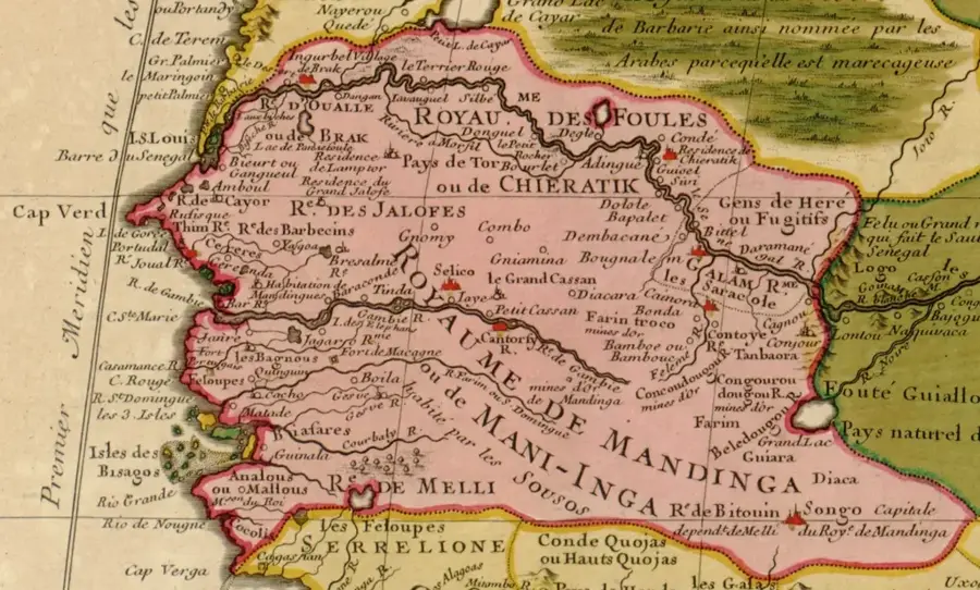
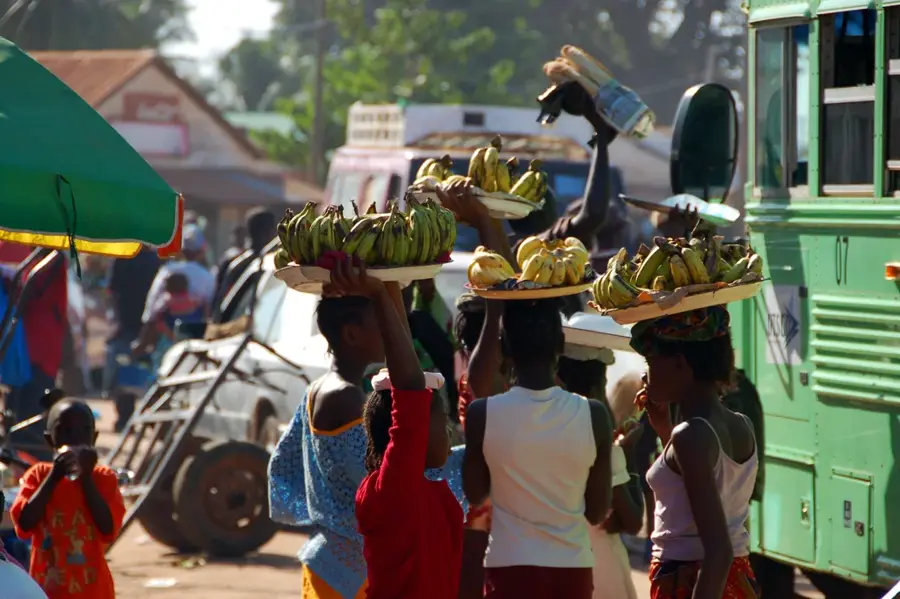
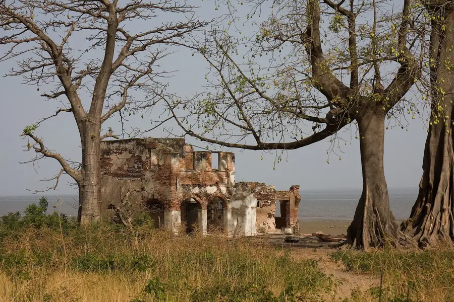
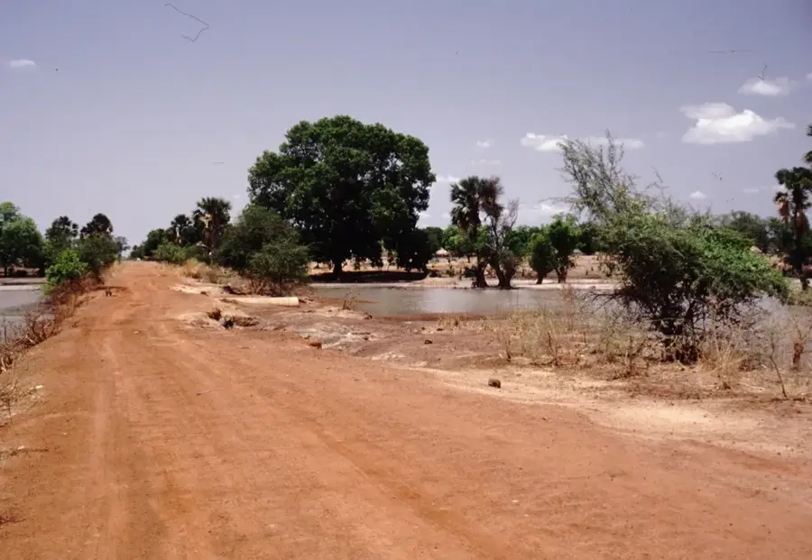
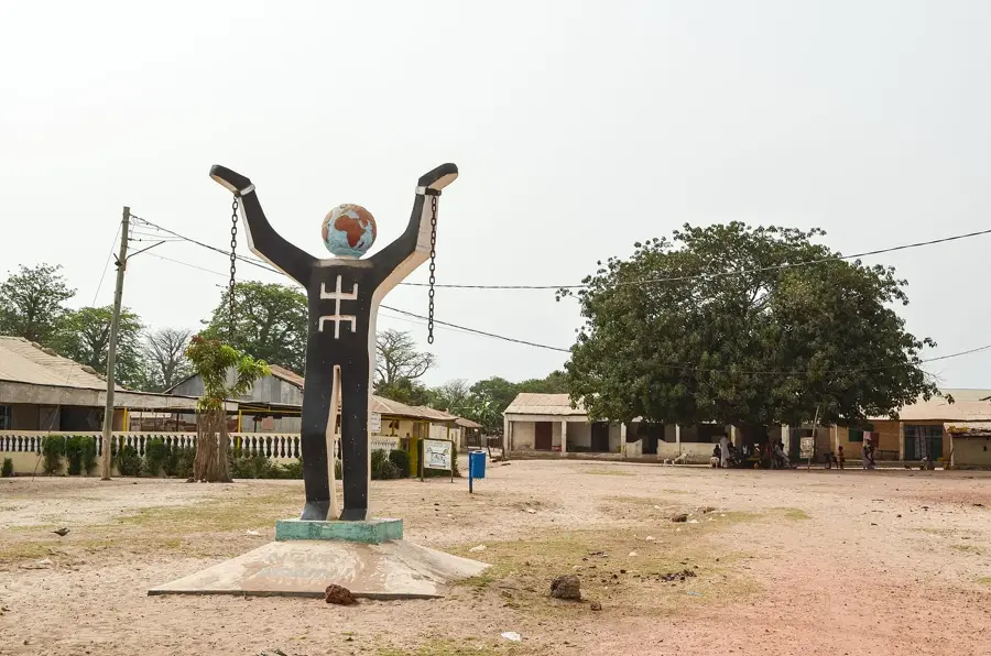
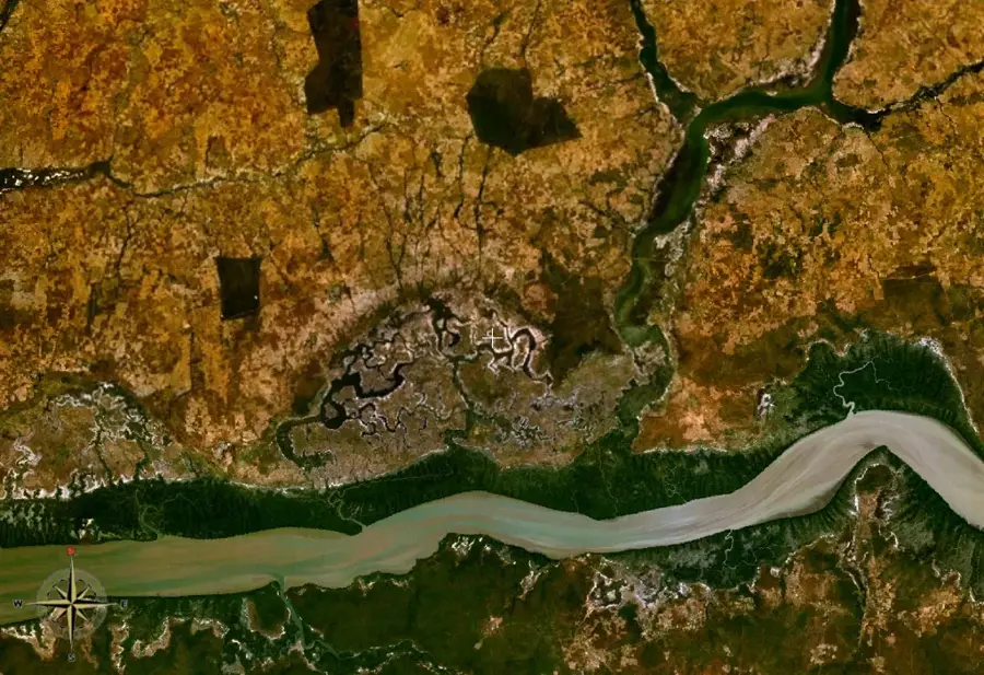
Jinack Island is situated on the north bank of the Gambia River mouth and is an integral component of the Niumi National Park. This low-lying sandy island stretches for approximately 10 kilometers along the Atlantic coast, featuring salt marshes, mangrove swamps, and pristine dune systems. Geographically, it is separated from the mainland by a narrow creek, which preserves its isolated and tranquil character. The island serves as a critical nesting ground for endangered sea turtles and hosts an extraordinary variety of migratory birds traversing the East Atlantic Flyway. Historically, the area was a significant point for cross-border trade and interaction between present-day Gambia and Senegal. Today, Jinack is a focal point for community-based ecotourism, where local inhabitants practice sustainable farming and fishing. The island's vegetation is dominated by salt-tolerant grasses and dense mangrove stands that play a vital role in coastal stabilization and biodiversity support.
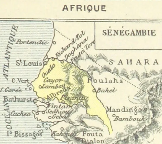
- Location: Gambia
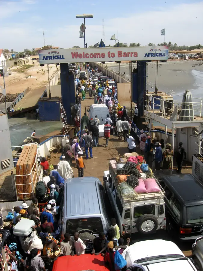
- Nearby: Barra (10 km)
Best time to visit & climate
The most pleasant time to visit is Jan, Feb, Dec.
| Jan | Feb | Mar | Apr | May | Jun | Jul | Aug | Sep | Oct | Nov | Dec | |
|---|---|---|---|---|---|---|---|---|---|---|---|---|
| Avg °C | 24 | 26 | 28 | 29 | 29 | 29 | 28 | 27 | 27 | 27 | 26 | 24 |
| Rain mm | 1 | 0 | 5 | 2 | 4 | 74 | 187 | 306 | 231 | 67 | 3 | 0 |
📋 Practical info
Geography
Facts
- The island is part of the UNESCO Delta du Saloum Biosphere Reserve.
- It extends for a length of approximately 10 to 15 kilometers.
- Jinack is a critical nesting site for the Green Sea Turtle.
- The island is located directly on the border between Gambia and Senegal.
- Over 250 species of birds have been documented in this ecosystem.
- Access is exclusively by boat as there is no bridge to the mainland.
Explore nearby
Notable places around
Route planner — Car & Motorhome
Where do you start? We build the route here, with stops and country notes along the way.
© OpenStreetMap contributors · OpenRouteService
Sights nearby
Frequently asked questions
What makes Jinack Island special?
Can you see dolphins there?
How do you get to the island?
Is there electricity?
Is Jinack inhabited?
Jinack Island: where is it located?
Jinack Island: when is the best time to visit?
Jinack Island: why is it worth visiting?

Nearby cities


History & landmarks

Nature
More places