Plizio Visual Lab
St. Mary's Island
Weather…
Water temperature…
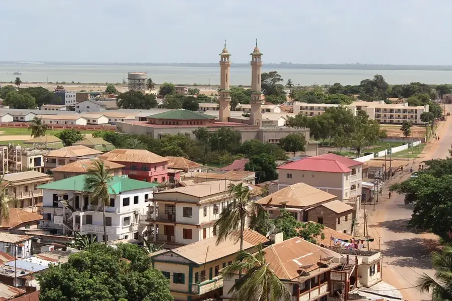
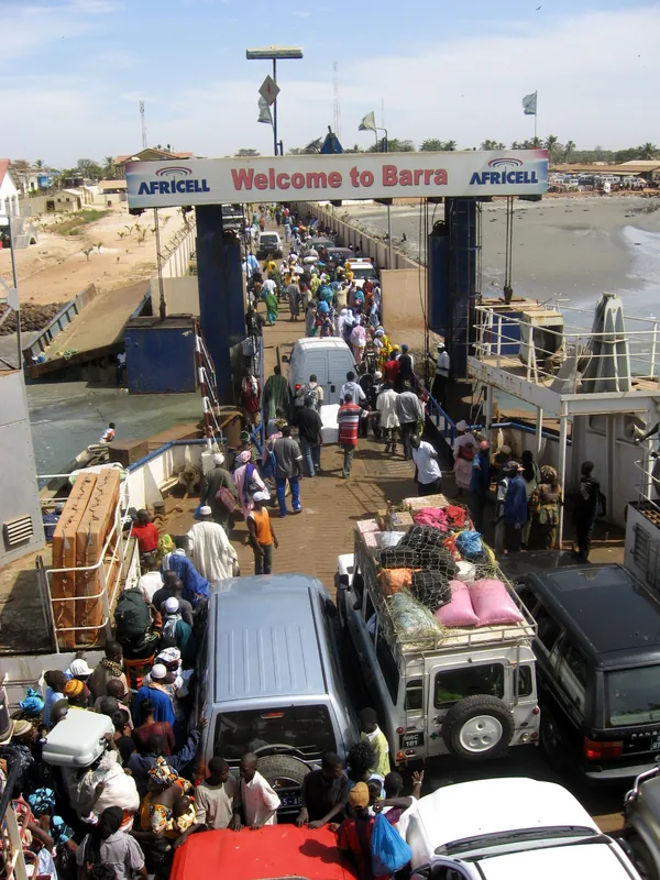
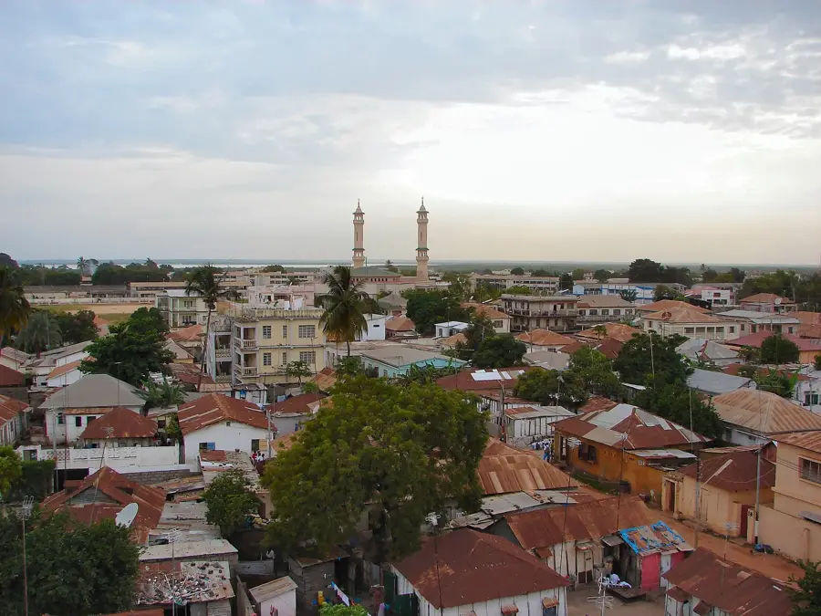
St. Mary's Island, primarily known today as the location of the capital city Banjul, sits at the confluence of the Gambia River and the Atlantic Ocean. The island was settled by the British in 1816 under the command of Alexander Grant to serve as a military outpost to suppress the illegal slave trade. Originally called Banjul, it was renamed St. Mary's Island during the colonial era before reverting to its indigenous name in 1973. It is connected to the mainland via the Denton Bridge to the west and is characterized by alluvial soils and extensive mangrove swamps. Its strategic location made it a vital administrative and commercial hub throughout the colonial period. The island's physical size is constrained, leading to high urban density within the city limits. The surrounding maritime ecosystem is defined by tidal fluctuations, with mangroves providing essential coastal protection against storm surges. Despite significant urbanization, the nearby wetlands continue to support diverse populations of waterbirds and marine life.
- Location: Gambia
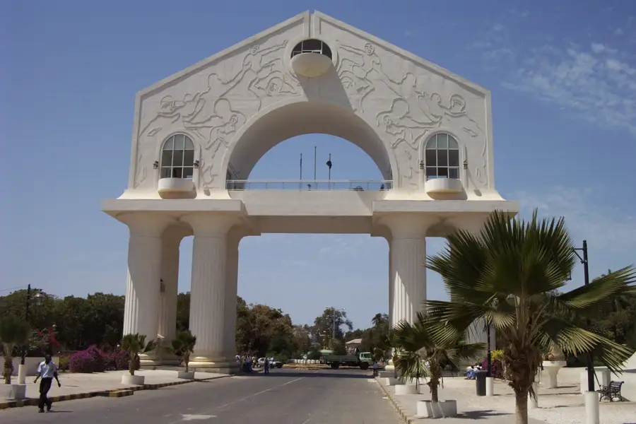
- Top sights: Tanbi Wetland Complex · King Fahad Mosque · Arch 22 Museum
- Nearby: Tallinding (6 km)
Best time to visit & climate
The most pleasant time to visit is Jan, Feb, Dec.
| Jan | Feb | Mar | Apr | May | Jun | Jul | Aug | Sep | Oct | Nov | Dec | |
|---|---|---|---|---|---|---|---|---|---|---|---|---|
| Avg °C | 24 | 26 | 28 | 29 | 29 | 29 | 28 | 27 | 27 | 27 | 26 | 24 |
| Rain mm | 1 | 0 | 5 | 2 | 4 | 74 | 187 | 306 | 231 | 67 | 3 | 0 |
📋 Practical info
Geography
Facts
- The island became an official British outpost on April 23, 1816.
- It is connected to the mainland (Kombos) by the Denton Bridge.
- Banjul, located on the island, is one of Africa's smallest capital cities.
- The city was officially named Bathurst until the change in 1973.
- The island is composed almost entirely of alluvial river sediments.
- The Port of Banjul is Gambia's only seaport, located on this island.
Explore nearby
Notable places around
Route planner — Car & Motorhome
Where do you start? We build the route here, with stops and country notes along the way.
© OpenStreetMap contributors · OpenRouteService
Sights in the town St. Mary's Island (9)
Banjul Mosque
Building in Gambia, central mosque of the capital Banjul.
Banjul City Council
Architectural structure, seat of Banjul city government.
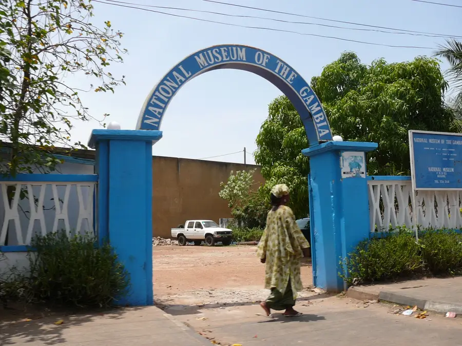
Gambia National Museum🏛 museum
Prehistory, culture, history, and natural history museum in Banjul city centre.
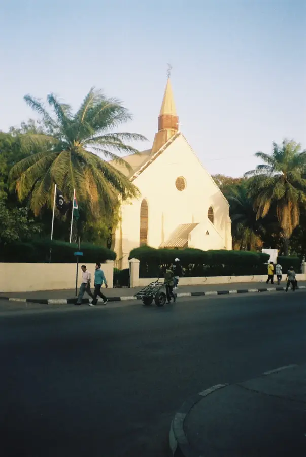
Saint Mary's Church
Architectural structure, Catholic church in Banjul.
Six-Gun Battery
Part of a World Heritage site in the Gambia, historic gun battery.
Sights nearby
Frequently asked questions
Where is St. Mary's Island located?
What are the main sights?
How do you get to the mainland?
Are there nature areas on the island?
Is it good for shopping?
St. Mary's Island: where is it located?
St. Mary's Island: what is there to see?
St. Mary's Island: when is the best time to visit?

Nearby cities

History & landmarks

More places