Plizio Visual Lab
Fort Diamant
Weather…
Water temperature…
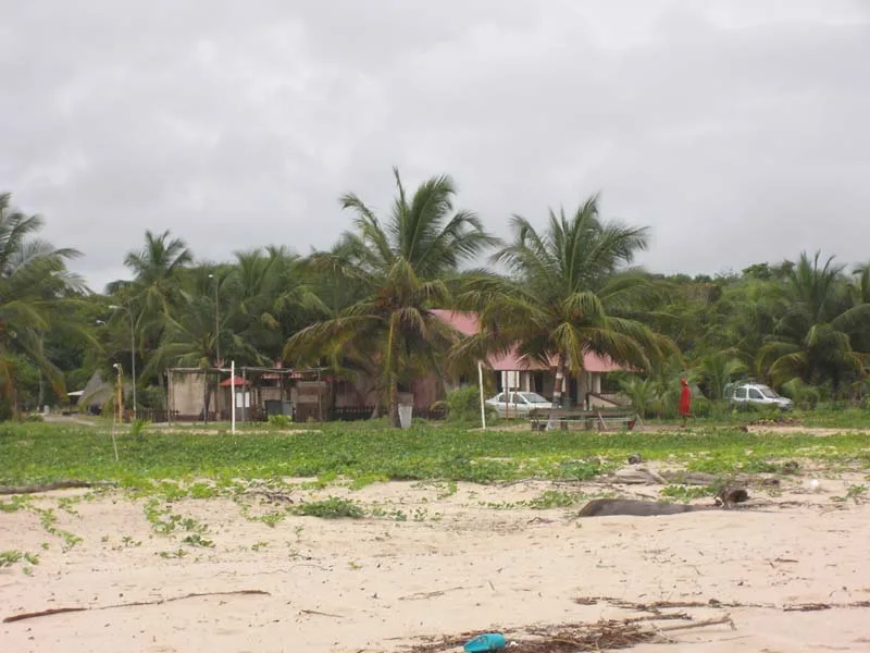
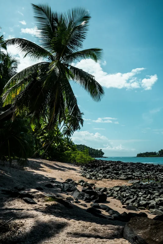
Fort Diamant is a historic coastal fortress located in the municipality of Remire-Montjoly, situated at the mouth of the Mahury River. Built between 1840 and 1849, the fort was designed to safeguard the capital city of Cayenne from potential naval incursions. Its architectural layout follows a star-shaped plan, a hallmark of 19th-century defensive engineering, and is constructed from solid masonry and brickwork. The strategic positioning allowed the garrison to monitor maritime traffic on the Mahury and deter enemy landings. Despite its defensive readiness, the fort never participated in direct military combat and was eventually disarmed and abandoned in 1895. In the following years, the facility was repurposed temporarily as a quarantine station for incoming immigrants. Today, the ruins of the fort, including its bastions and gunpowder magazine, are accessible to visitors and offer commanding views of the Atlantic Ocean. Fort Diamant was officially designated as a Monument Historique in 1980, serving as a significant example of French Guiana's military heritage.
- Location: French Guiana
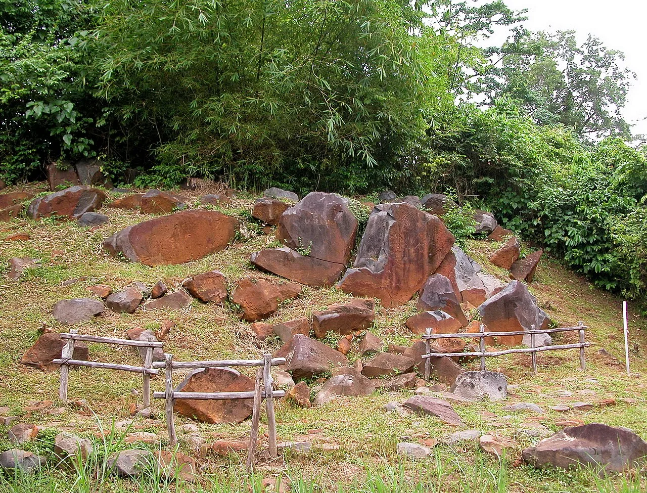
- Top sights: Fort Trio · Le Serpent de Pascaud · Habitation Artur
- Nearby: Kaw Marshes (24 km)
Best time to visit & climate
The most pleasant time to visit is Aug–Oct.
| Jan | Feb | Mar | Apr | May | Jun | Jul | Aug | Sep | Oct | Nov | Dec | |
|---|---|---|---|---|---|---|---|---|---|---|---|---|
| Avg °C | 26 | 26 | 26 | 26 | 26 | 26 | 26 | 26 | 27 | 27 | 27 | 26 |
| Rain mm | 300 | 264 | 251 | 369 | 504 | 334 | 217 | 109 | 54 | 58 | 110 | 303 |
📋 Practical info
Geography
Facts
- Built between 1840 and 1849 for coastal defense
- Features a traditional star-shaped architectural plan
- Strategic location at the mouth of the Mahury River
- Disarmed and decommissioned in 1895
- Used as a quarantine station for a period of time
- Designated as a Monument Historique in 1980
Explore nearby
Notable places around
Route planner — Car & Motorhome
Where do you start? We build the route here, with stops and country notes along the way.
© OpenStreetMap contributors · OpenRouteService
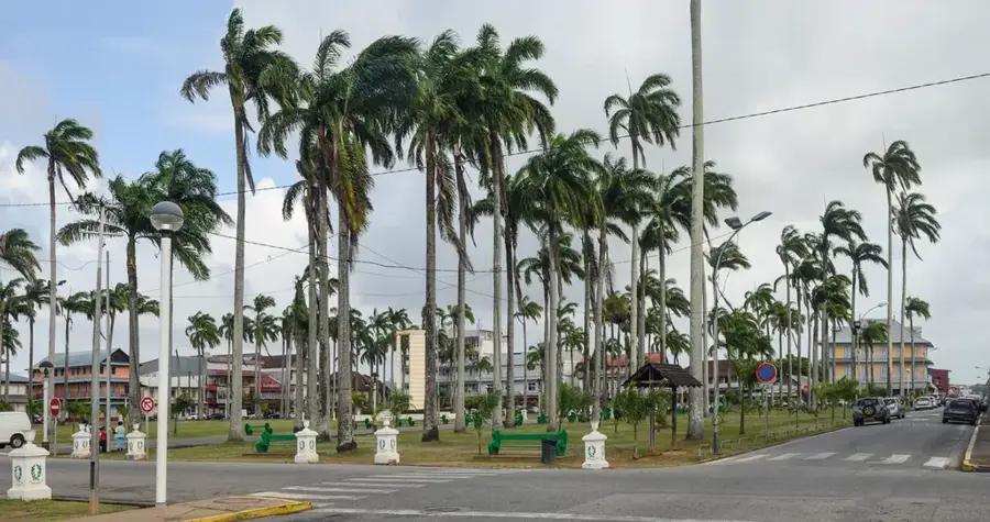
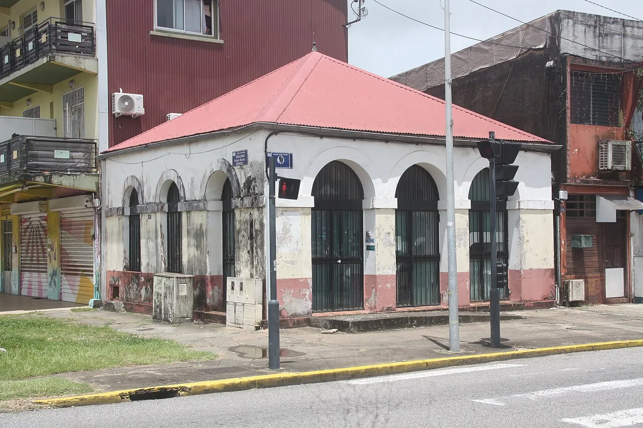
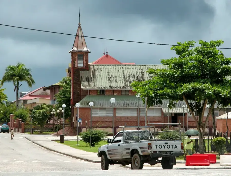
Sights in the town Fort Diamant (5)
Sights nearby
Frequently asked questions
What is Fort Diamant?
Can the fort be visited?
Where is the fort located?
Is entrance free?
Is there parking available?
Fort Diamant: where is it located?
Fort Diamant: what is there to see?
Fort Diamant: when is the best time to visit?
Fort Diamant: why is it worth visiting?

Nearby cities

History & landmarks


More places