Tête du Solaise
Peak at 3051 m above Val d'Isère, offering views of the Alps.
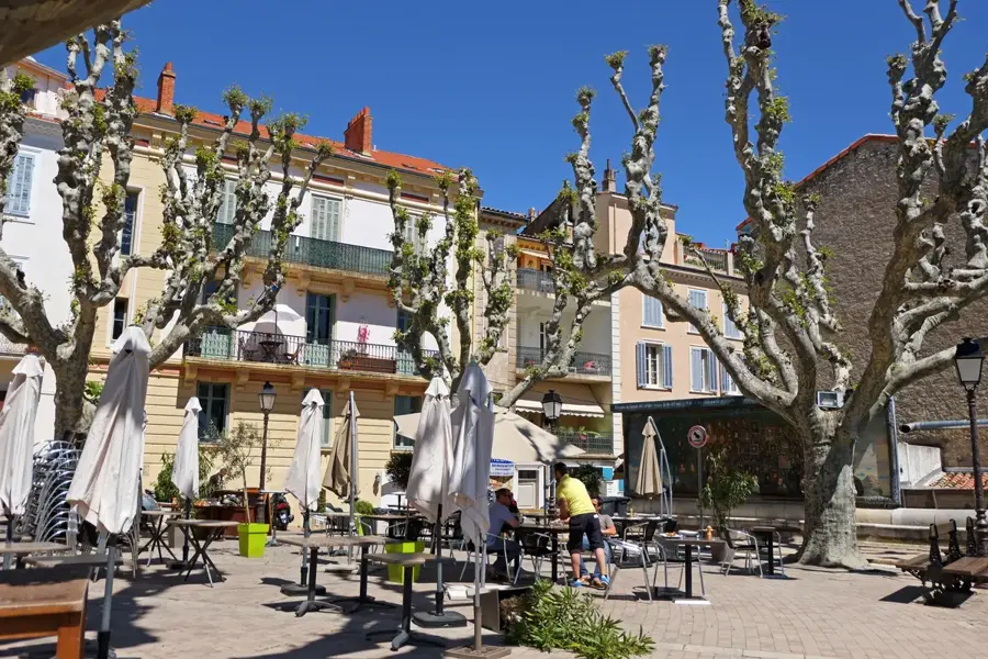
Plizio Visual Lab
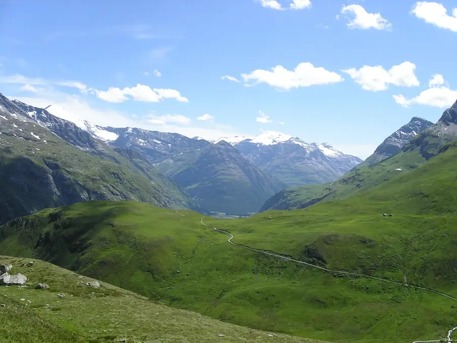
Col de l'Iseran is the highest paved mountain pass in the Alps, reaching an elevation of 2,764 meters in the Savoie department of France. It serves as a strategic connection between the Tarentaise Valley and the Maurienne Valley, situated in the heart of the Vanoise National Park. Geologically, the region is characterized by metamorphic rocks such as mica schists, which undergo intense physical weathering under extreme high-alpine conditions. The pass was officially opened to traffic in 1937, following a construction project that posed significant engineering challenges in the thin mountain air. Due to extreme weather, the road is typically only accessible from early June to October, with snowfall occurring even during summer months. In the world of sports, the Iseran has achieved legendary status through the Tour de France, being one of the most difficult climbs in cycling history. The relief supports sparse high-alpine flora and serves as a habitat for ibex and marmots.
The most pleasant time to visit is Jun–Aug.
| Jan | Feb | Mar | Apr | May | Jun | Jul | Aug | Sep | Oct | Nov | Dec | |
|---|---|---|---|---|---|---|---|---|---|---|---|---|
| Avg °C | -8 | -8 | -4 | 1 | 6 | 10 | 12 | 12 | 8 | 4 | -2 | -7 |
| Rain mm | 73 | 57 | 70 | 69 | 103 | 89 | 79 | 78 | 65 | 71 | 88 | 79 |
Notable places around
Where do you start? We build the route here, with stops and country notes along the way.
© OpenStreetMap contributors · OpenRouteService
Peak at 3051 m above Val d'Isère, offering views of the Alps.
Mountain summit of 3228 m in the Vanoise massif, near Col de l'Iseran.
Protected biotope at Col de l'Iseran, home to alpine flora and fauna.
Small chapel at Col de l'Iseran, dedicated to Saint Roch.
Summit at 3181 m in the Vanoise massif, south of Col de l'Iseran.
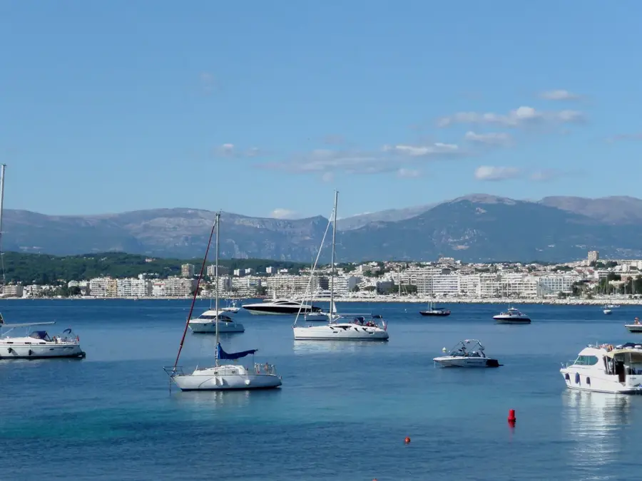
Cultural centre in Val d'Isère hosting exhibitions and events.
Chapel on Col de l'Iseran, built in 1939, with mountain panorama.
Highest drivable pass in the Alps at 2770 m, featuring a viewpoint.