Plizio Visual Lab
Longuenesse
ℹ️Practical info — Longuenesse
▾
🌤 Weather — 5 days
📍 Nearby
Sights nearby
💡 Tips
- Base yourself here for cheaper accommodation while exploring the adjacent historic center of Saint-Omer.
- Consider renting a bike for the short trip to the La Coupole WWII history museum in nearby Helfaut.
- Single tickets for the local Mouvéo public transport network can be bought directly from the driver.
- Weather in the Hauts-de-France region can be changeable; layering is key, even in summer.
🍽 Food
A traditional beef stew cooked in beer. Look for classic brasseries along the main roads heading into Saint-Omer.
Try dishes featuring this pungent regional cheese in small local bistros.
Pick up fresh morning baked goods at the independent bakeries around the town hall area.
🛍 Shopping · 🧘 Quiet spots
Make the short trip next door on Saturday mornings for the best fresh local produce.
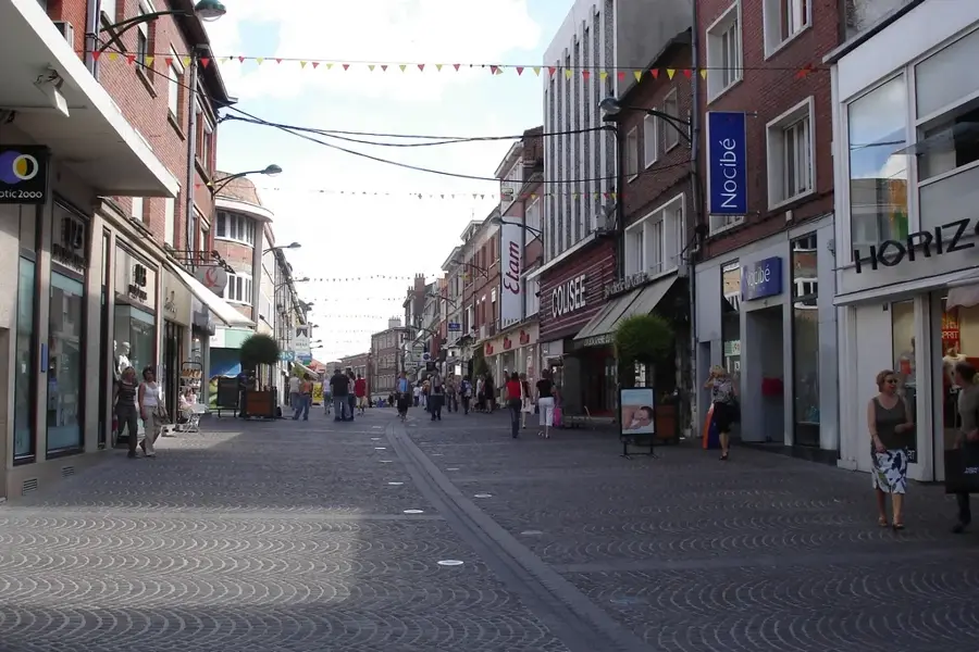
The go-to spot for practical needs, clothing, and larger chain stores.
Walk or cycle along the canal routes for peaceful water views and fresh air.
The green spaces near the center are excellent for a quick, calm stroll under the trees.
Water temperature…
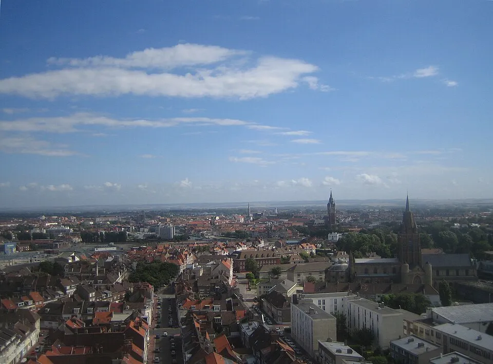
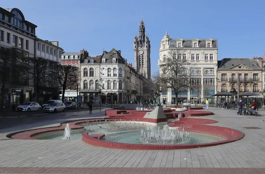
Set in the heart of the Audomarois region, this municipality forms the southern extension of Saint-Omer, blending deep historical roots with expansive green environments. The area's early history was dominated by the Premonstratensian Abbey (Abbaye des Prémontrés), established in 1198. While the abbey was largely dismantled during the French Revolution, its former vast estates have been absorbed into the modern park system. A site of profound international significance is the Longuenesse (St. Omer) Souvenir Cemetery, a large Commonwealth War Graves installation honoring over 3,000 soldiers who fell during the First World War. Local outdoor life centers around the Parc de la Coulonnière, which features old-growth trees and extensive walking paths. The commune also shares the borders of the historic 19th-century Jardin public with Saint-Omer, a park whose formal water basins hint at the nearby Aa river network. Architectural elements like the Chapelle des Carmes reflect the area's strong religious past. Because it is positioned just minutes from the extensive Clairmarais marshlands, the town operates as a convenient staging ground for traditional flat-bottomed boat tours along the canals.
- Location: Hauts-de-France, France
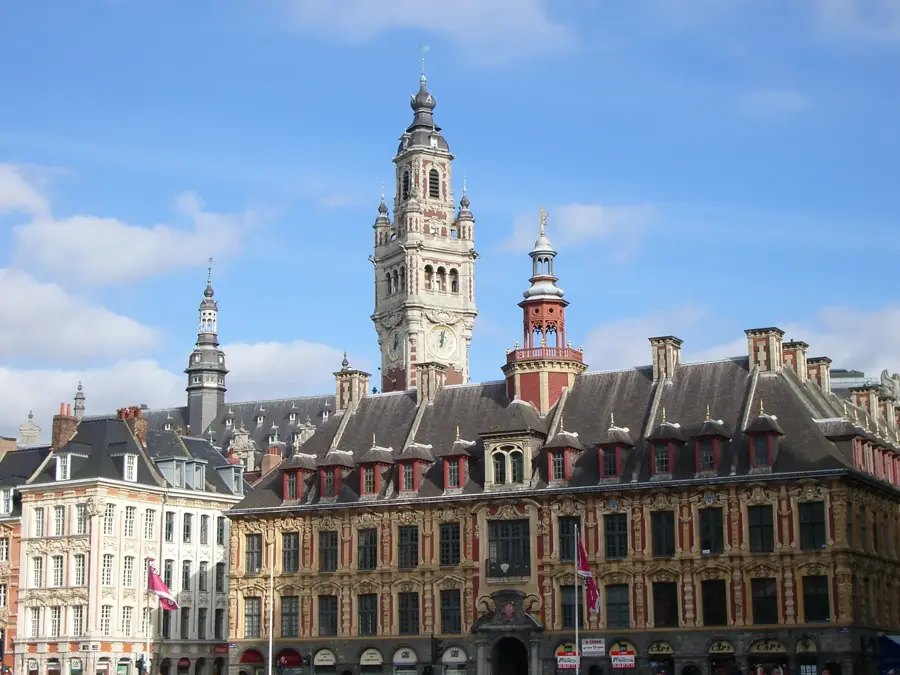
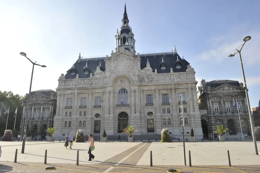
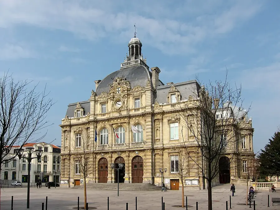
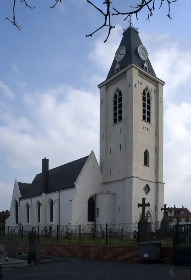
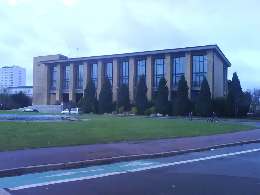
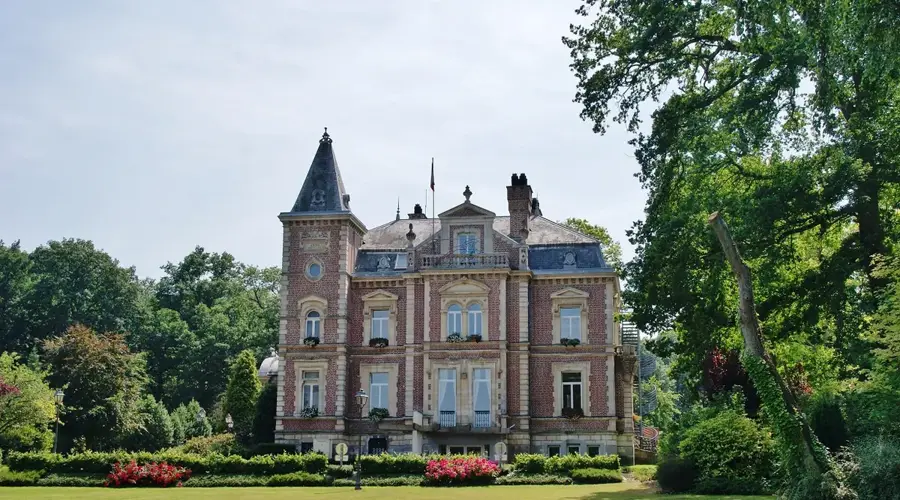
- Top sights: Malassise Chapel · Longuenesse Plateau · Longuenesse Town Hall
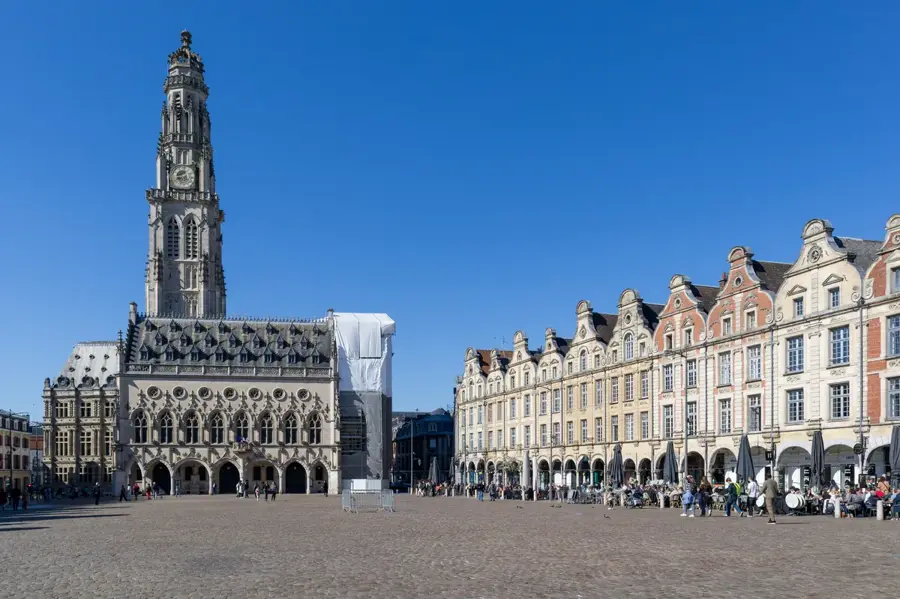
- Nearby: Arques (5 km)
- Population: ~11.584
Best time to visit & climate
The most pleasant time to visit is Jun–Aug.
| Jan | Feb | Mar | Apr | May | Jun | Jul | Aug | Sep | Oct | Nov | Dec | |
|---|---|---|---|---|---|---|---|---|---|---|---|---|
| Avg °C | 4 | 4 | 6 | 9 | 12 | 15 | 17 | 17 | 15 | 12 | 8 | 5 |
| Rain mm | 77 | 64 | 57 | 44 | 60 | 57 | 66 | 74 | 58 | 82 | 91 | 92 |
Geography
Facts
- Total population: 11,584
- Part of the Saint-Omer urban area
- Hosting the ULCO University campus
- Postal code: 62219
- Geographic area: Plateau overlooking the Aa valley
- Department: Pas-de-Calais (62)
Explore nearby
Notable places around
Route planner — Car & Motorhome
Where do you start? We build the route here, with stops and country notes along the way.
© OpenStreetMap contributors · OpenRouteService
Sights in the town Longuenesse (6)
Frequently asked questions
What is located near Longuenesse?
Are there nature areas for hiking?
What sporting facilities are available?
Is the town well-connected by transport?
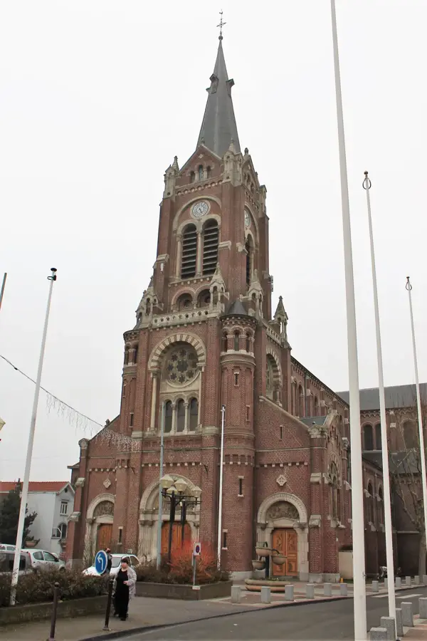
What is the Sainte-Croix church?
Longuenesse: where is it located?
Longuenesse: what is there to see?
Longuenesse: when is the best time to visit?
Longuenesse: why is it worth visiting?

Nearby cities