Plizio Visual Lab
Saône Plain
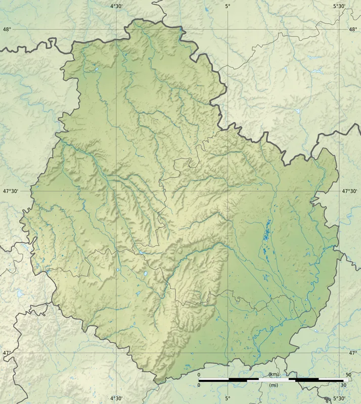
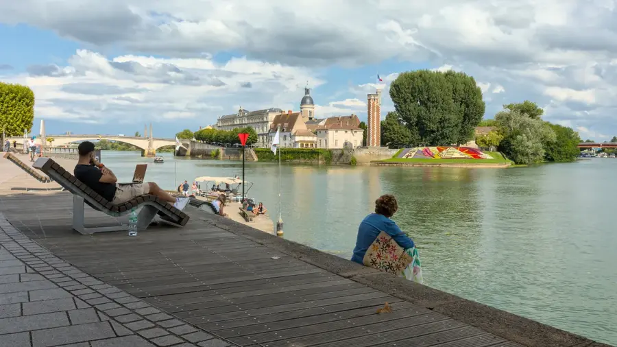
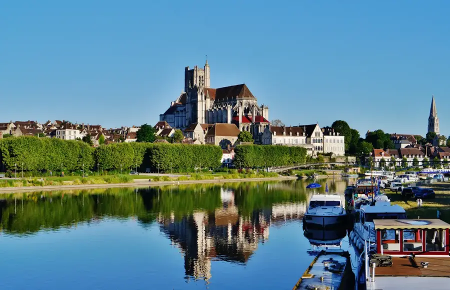
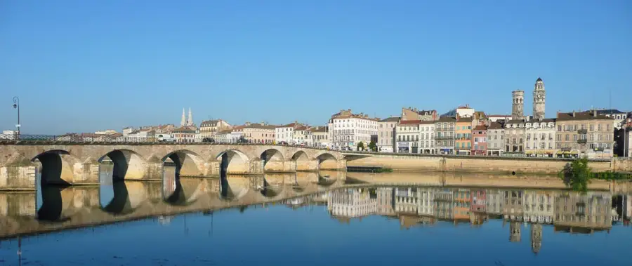
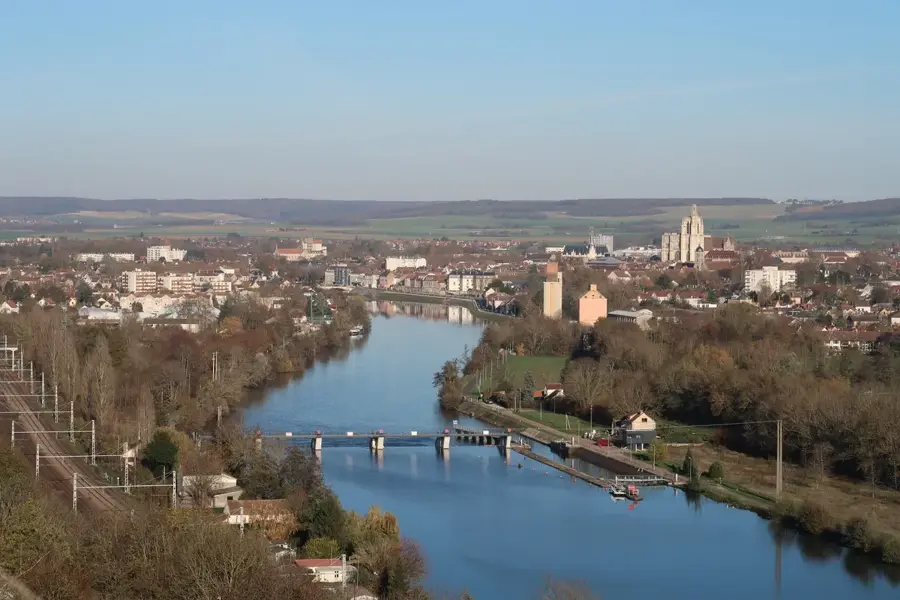
The Saône Plain is an extensive tectonic depression in eastern France, located between the Massif Central to the west and the Jura Mountains to the east. Forming part of the European Cenozoic Rift System, this low-lying area was shaped over millions of years and filled with fertile alluvial deposits from the Saône River and its tributaries. The terrain is characterized by its flatness, with elevations typically ranging from 170 to 220 meters, which has made it a good landscape for large-scale agriculture. The region is a vital agricultural heartland, known for intensive cereal farming and livestock breeding, supported by a semi-continental climate. Beyond its economic role, the Saône Plain has served as a critical north-south transport corridor since Roman times, linking the Mediterranean world with Northern Europe. Today, it remains a central artery for French infrastructure, hosting major highways, high-speed TGV rail lines, and an intricate network of navigable canals that connect the Rhône, Rhine, and Seine basins.
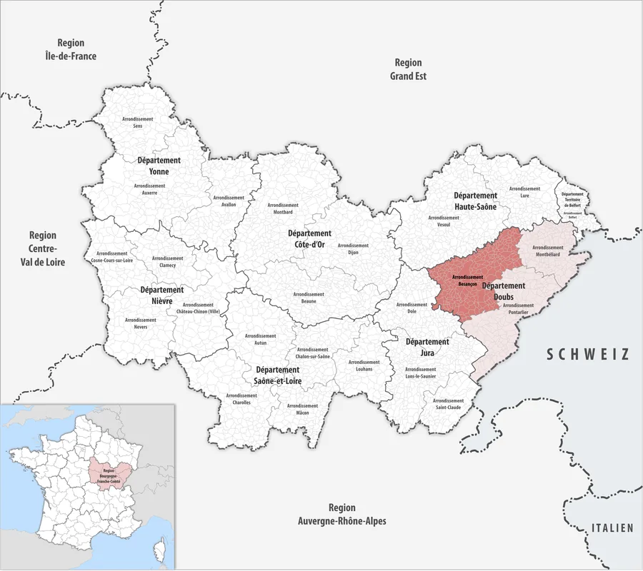
- Location: Bourgogne-Franche-Comté, France
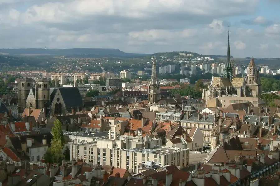
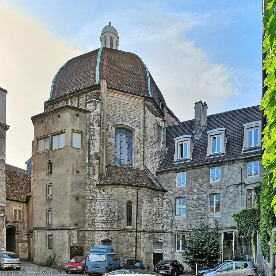
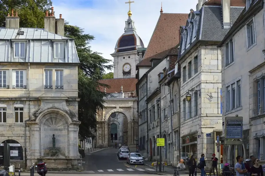
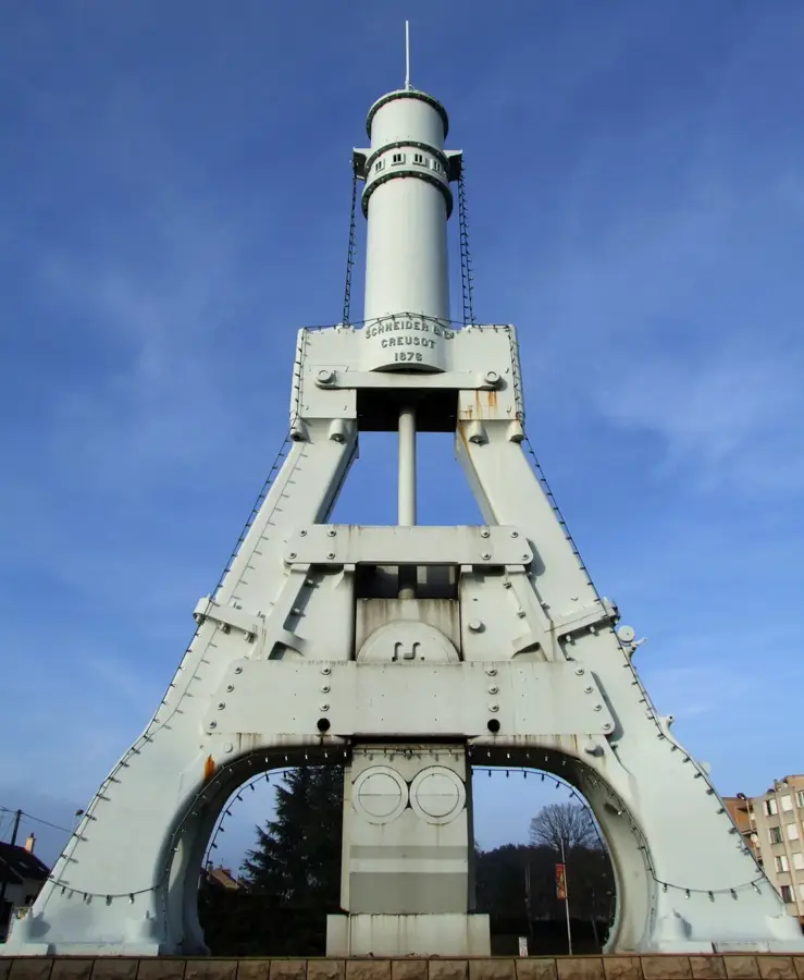
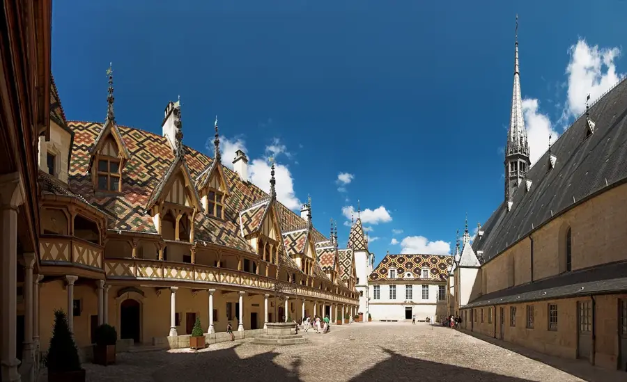
- Top sights: Musée de plein air Étang Rouge · Église Saint-Martin · Église de la Nativité de la Vierge
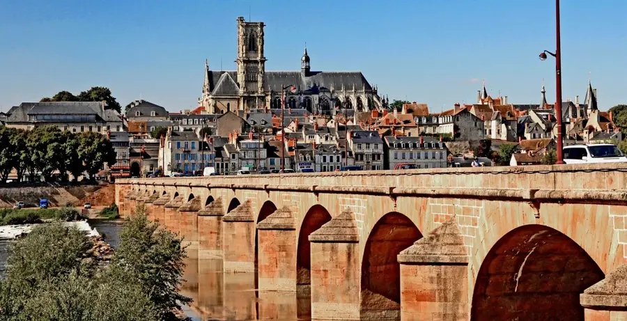
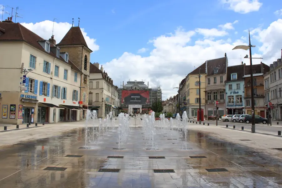
- Nearby: Nuits-Saint-Georges (22 km)
Best time to visit & climate
The most pleasant time to visit is Jun–Aug.
| Jan | Feb | Mar | Apr | May | Jun | Jul | Aug | Sep | Oct | Nov | Dec | |
|---|---|---|---|---|---|---|---|---|---|---|---|---|
| Avg °C | 2 | 2 | 6 | 10 | 14 | 18 | 20 | 20 | 16 | 11 | 6 | 2 |
| Rain mm | 65 | 52 | 62 | 63 | 83 | 73 | 71 | 77 | 57 | 84 | 85 | 78 |
📋 Practical info
Geography
Facts
- The plain spans approximately 200 km from north to south.
- The Saône river is the main waterway, flowing 473 km in total.
- The rift valley was formed during the Oligocene epoch.
- Average annual precipitation in the plain is around 800-1000 mm.
- The plain connects the Mediterranean basin with the Rhine valley.
- It features some of the most productive silty-clay soils in France.
Explore nearby
Notable places around
Route planner — Car & Motorhome
Where do you start? We build the route here, with stops and country notes along the way.
© OpenStreetMap contributors · OpenRouteService
Sights in the town Saône Plain (4)
Sights nearby
Frequently asked questions
Where is the Saône Plain located?
What are the main agricultural products?
Is the plain suitable for cycling?
Which cities are located in this region?
Is there a risk of flooding?
Saône Plain: where is it located?
Saône Plain: what is there to see?
Saône Plain: when is the best time to visit?
Saône Plain: why is it worth visiting?

Nearby cities