Alpiscénies – Winter Experience
A riddle contest followed by the immersive film "Guardians of the Mountains" for a unique family evening.
Plizio Visual Lab
Look for a traditional tavern or brasserie in the town center for a hearty pot of melted regional cheese.
Local pork sausages often cooked in white wine, best enjoyed at a typical Savoyard auberge.
A rich potato and Reblochon cheese dish, first-rate after a day of hiking in the nearby mountains.
Visit a local fromagerie or dairy cooperative to buy fresh, nutty Beaufort cheese.
Pick up some dried mountain sausages (saucisson) at the weekly market or a local butcher.
Take a peaceful walk along the riverside to enjoy the contrast between the running water and the alpine backdrop.
Drive or hike slightly out of town towards the mountain for serene alpine pastures and great views.
Water temperature…
A riddle contest followed by the immersive film "Guardians of the Mountains" for a unique family evening.
The final stage of the Tour passes through Beaufortain, starting from Beaufort to reach Plateau de Solaison via the Bisanne climb.
A marathon cycling loop with Mont Blanc as a backdrop: 330km and 8,300m elevation gain await participants of this 13th edition.
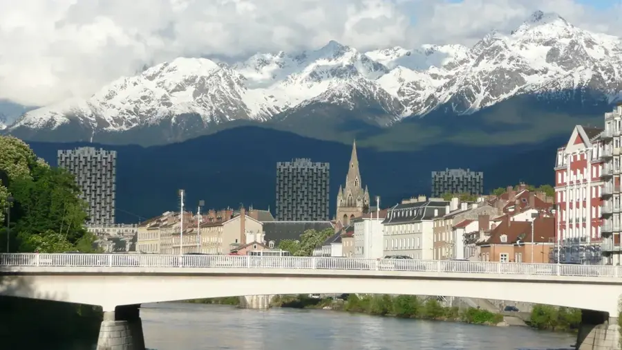
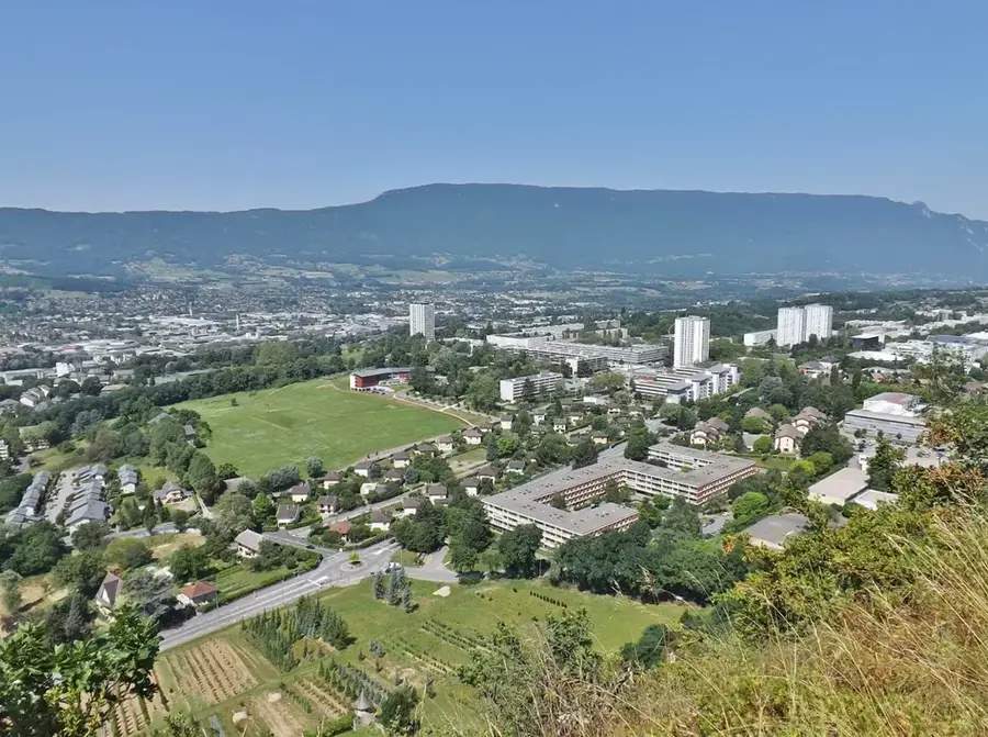
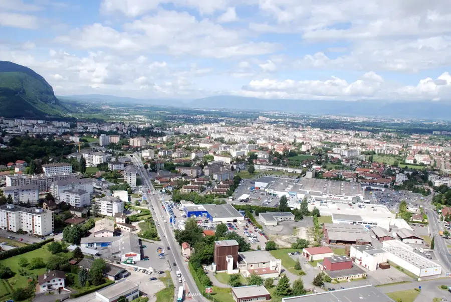
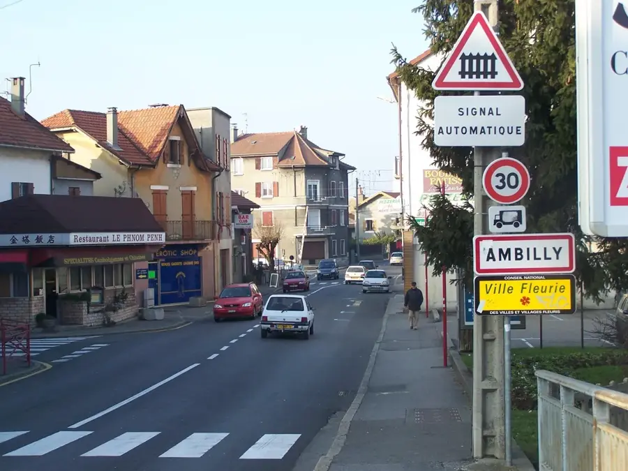
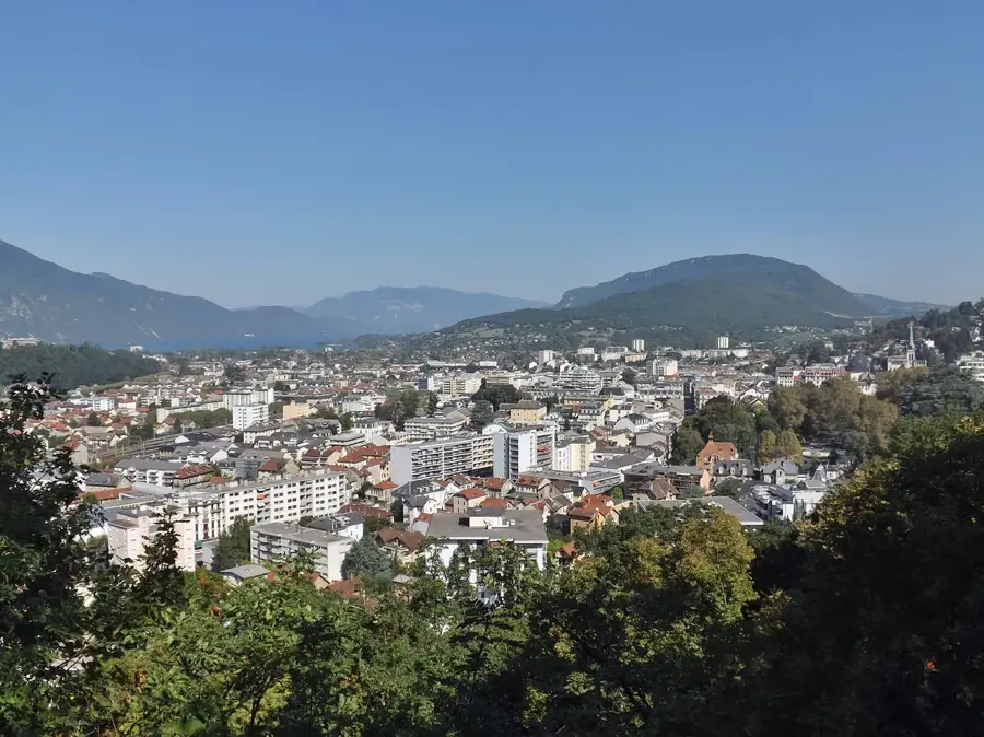
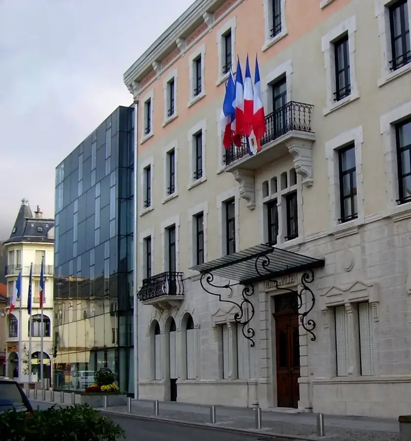
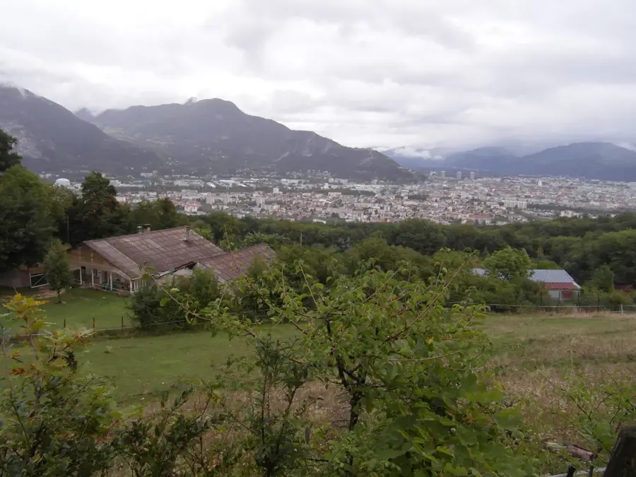
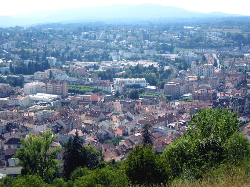
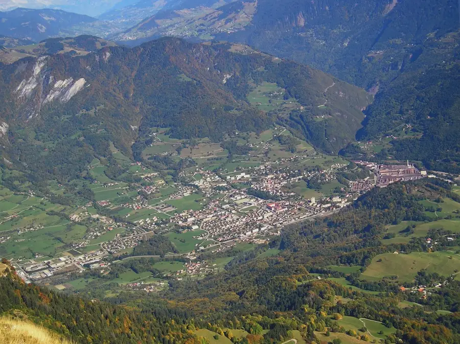
Ugine is a remarkable town in the Savoie department, strategically located at the junction of the Arly valley and the entrance to the Beaufortain and Aravis mountain ranges. It stands as a unique example of a high-tech industrial hub thriving in a majestic Alpine environment. The town's destiny changed forever in the early 1900s when engineer Paul Girod harnessed the local hydroelectric power to establish what would become one of the world's leading specialized steel factories. Today, the Ugitech plant remains a global leader in stainless steel long products, employing a large portion of the local population and providing materials for aerospace and medical sectors worldwide. Ugine's urban landscape is defined by the contrast between its heavy industrial facilities and the 'Les Fontaines' garden city, a beautifully preserved 20th-century residential district designed specifically for the steelworkers. Above the town, the peaks of the Beaufortain offer memorable natural landscapes, with Mont Charvin providing a rugged backdrop for hiking and mountaineering. Cultural life in Ugine is centered around its historical heritage, documented in the local museum housed in a medieval tower, and a lively scene of mountain festivals. The town is also a gateway to the famous Beaufort cheese production areas, blending industrial might with Alpine agricultural traditions. For travelers, Ugine gives a fascinating look at the 'White Gold' of the Alps, not snow, but the hydroelectric power and the steel it produces, while remaining a well-suited base for exploring the surrounding ski resorts and nature parks.
The most pleasant time to visit is Jun–Aug.
| Jan | Feb | Mar | Apr | May | Jun | Jul | Aug | Sep | Oct | Nov | Dec | |
|---|---|---|---|---|---|---|---|---|---|---|---|---|
| Avg °C | -1 | 0 | 4 | 8 | 12 | 17 | 19 | 18 | 14 | 10 | 4 | 0 |
| Rain mm | 98 | 73 | 90 | 75 | 111 | 100 | 93 | 99 | 76 | 92 | 96 | 106 |
Notable places around
Where do you start? We build the route here, with stops and country notes along the way.
© OpenStreetMap contributors · OpenRouteService