Plizio Visual Lab
Mont Joly
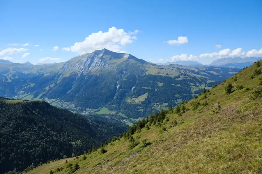
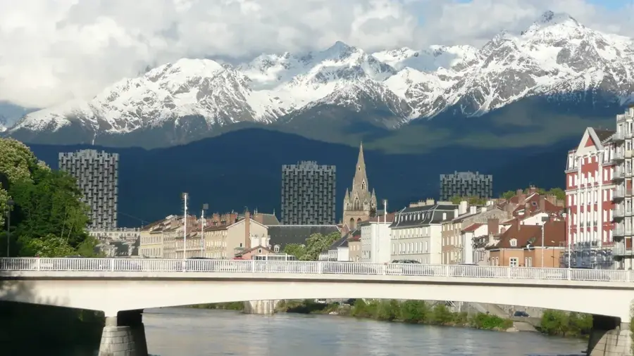
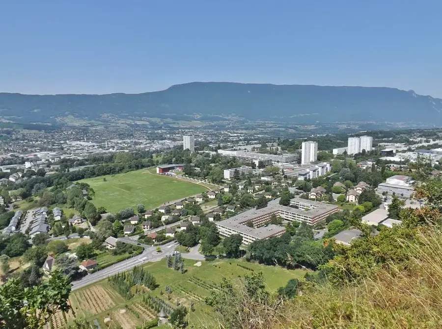
Mont Joly is a prominent mountain peak in the French Alps, located in the Haute-Savoie department between the popular resorts of Megève and Saint-Gervais-les-Bains. Rising to an elevation of 2,525 meters, the mountain provides one of the most spectacular and direct vantage points of the Mont Blanc massif, which stands majestically across the Val Montjoie. Geologically, Mont Joly is part of the Beaufortain massif and is recognized for its distinct pyramidal silhouette. During the winter, the mountain is a central pillar of the Evasion Mont-Blanc ski area, with slopes extending to just below the summit. In summer, the region transforms into a premier hiking destination, with the summit accessible via several scenic ridge trails. The flora on Mont Joly is highly diverse, featuring typical alpine meadows and protected wildflower species. Due to its isolated position, the summit is a favored location for photographers seeking to capture the light playing on the glaciers of Mont Blanc.
- Location: Auvergne-Rhône-Alpes, France
- Top sights: Mont Joly · Tête de la Combaz · Chapelle Saint-Martin-Saint-Clair-et-Saint-Antoine
- Nearby: Saint-Gervais-les-Bains (7 km)
Best time to visit & climate
The most pleasant time to visit is Jun–Aug.
| Jan | Feb | Mar | Apr | May | Jun | Jul | Aug | Sep | Oct | Nov | Dec | |
|---|---|---|---|---|---|---|---|---|---|---|---|---|
| Avg °C | -1 | 0 | 4 | 8 | 12 | 17 | 19 | 18 | 14 | 10 | 4 | 0 |
| Rain mm | 98 | 73 | 90 | 75 | 111 | 100 | 93 | 99 | 76 | 92 | 96 | 106 |
📋 Practical info
Geography
Facts
- The summit elevation is 2,525 meters.
- It provides a 360-degree panorama of Mont Blanc and the Beaufortain.
- Located on the boundary between Megève and Saint-Gervais.
- Part of the Evasion Mont-Blanc ski domain, offering 445 km of runs.
- The summit ridge is technically easy for hikers but quite exposed.
- A significant viewpoint for observing alpine glacier movements.
Explore nearby
Notable places around
Route planner — Car & Motorhome
Where do you start? We build the route here, with stops and country notes along the way.
© OpenStreetMap contributors · OpenRouteService
Sights in the town Mont Joly (7)
Tête de la Combaz
A peak in the Mont Joly massif, part of the alpine landscape.
Chapelle Saint-Martin-Saint-Clair-et-Saint-Antoine
A chapel in the Mont Joly area, dedicated to several saints.
Église de la Sainte-Trinité
A church in the Mont Joly area, dedicated to the Holy Trinity.
Chapelle Sainte-Marie-Magdeleine
A chapel in the Mont Joly area, dedicated to Saint Mary Magdalene.
Mont Joux
A peak in the Mont Joly massif, another mountain of the group.
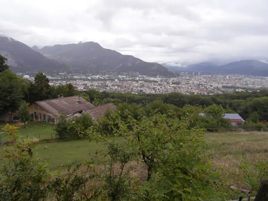
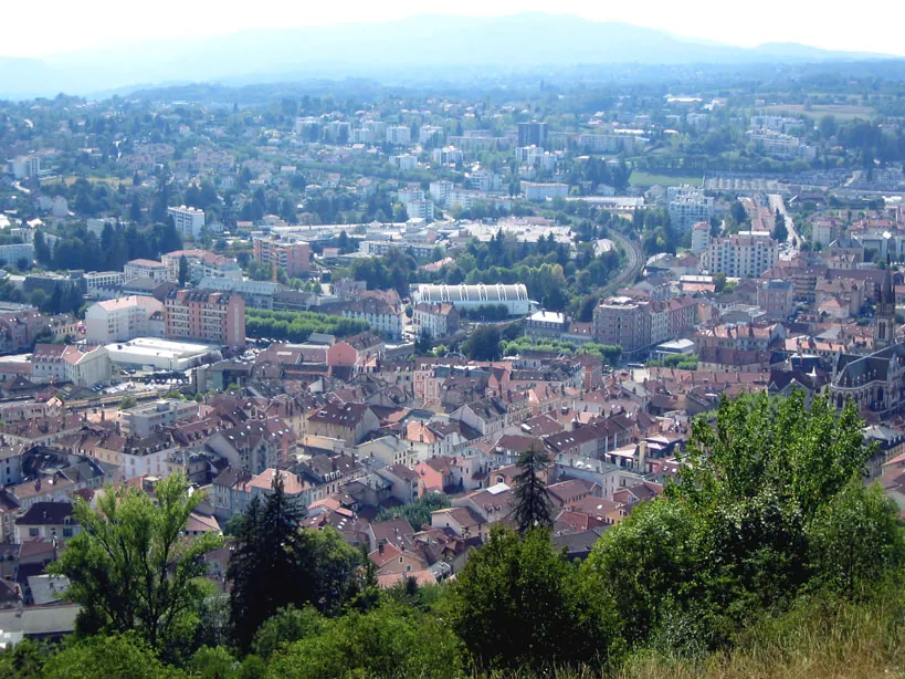
Les Rebans
Ruins of a former settlement or building in the Mont Joly area.
Sights nearby
Frequently asked questions
How high is Mont Joly?
What can you see from the summit?
How do you reach the summit?
Is the hike difficult?
Can you ski there in winter?
Mont Joly: where is it located?
Mont Joly: what is there to see?
Mont Joly: when is the best time to visit?
Mont Joly: why is it worth visiting?

Nearby cities