Plizio Visual Lab
Grand Colombier
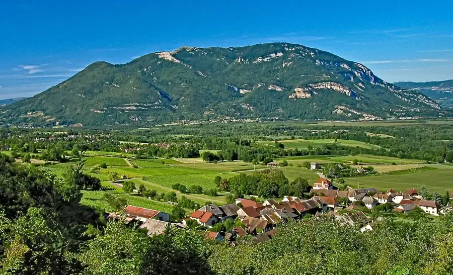
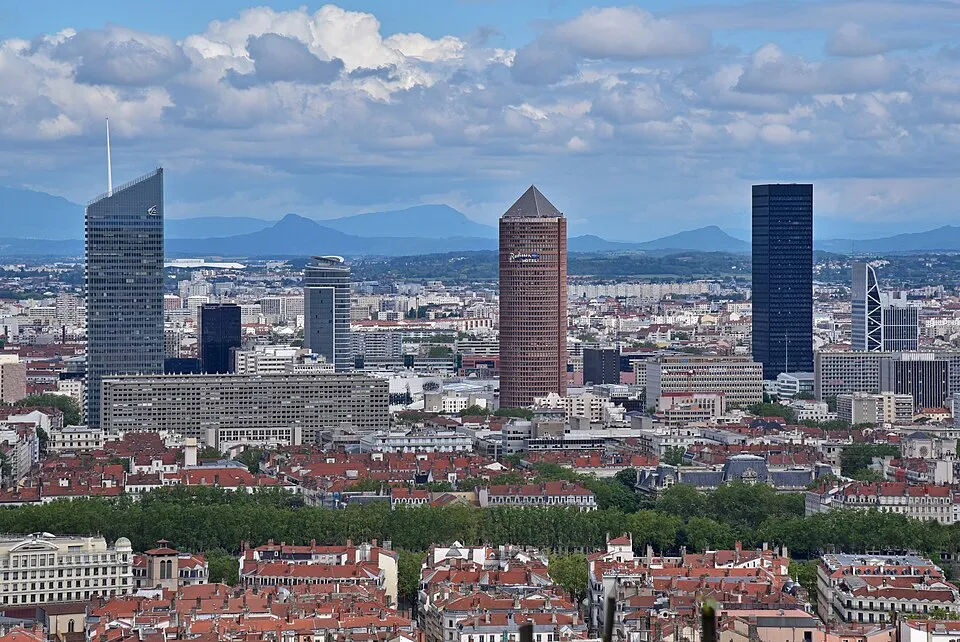
Grand Colombier is one of the highest peaks in the Jura Mountains, reaching an elevation of 1,534 meters in the Ain department of the Auvergne-Rhône-Alpes region. Dominating the Bugey area, the mountain gives one of France's most spectacular viewpoints, with clear days providing sights of Mont Blanc, Lake Bourget, and the Alpine ranges. The mountain is world-renowned among cycling enthusiasts, as its steep ramps, with gradients reaching up to 22%, are among the most challenging in Europe. It has served as a stage finish for the Tour de France multiple times, solidifying its status as a legendary climb. The summit area is defined by limestone formations and alpine meadows that boast a rich variety of flora in the spring. Geographically, Grand Colombier forms a striking barrier above the Rhône Valley. Access to the summit is possible via four different mountain roads, making it a unique destination for mountain sports. The ecological diversity of the massif is safeguarded by various conservation zones to protect rare plant and animal species.
- Location: Auvergne-Rhône-Alpes, France
- Top sights: Grand Colombier · Château des Sarrasins · Châtel-le-Haut
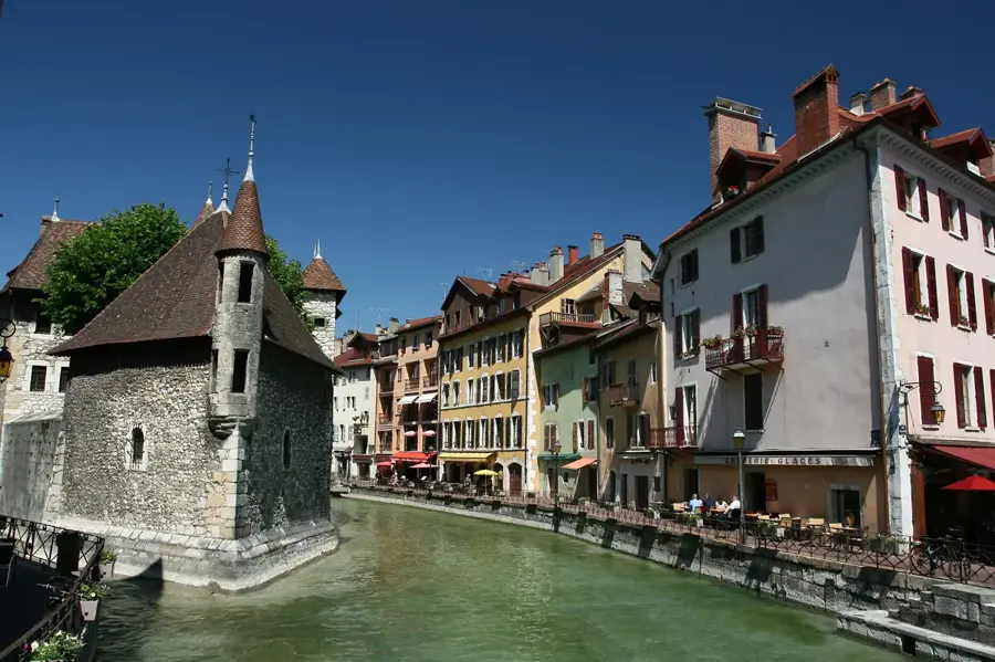
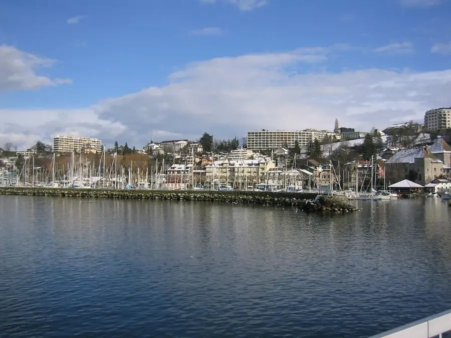
- Nearby: Rumilly (12 km)
Best time to visit & climate
The most pleasant time to visit is Jun–Aug.
| Jan | Feb | Mar | Apr | May | Jun | Jul | Aug | Sep | Oct | Nov | Dec | |
|---|---|---|---|---|---|---|---|---|---|---|---|---|
| Avg °C | -1 | 0 | 4 | 8 | 12 | 17 | 19 | 18 | 14 | 10 | 4 | 0 |
| Rain mm | 98 | 73 | 90 | 75 | 111 | 100 | 93 | 99 | 76 | 92 | 96 | 106 |
📋 Practical info
Geography
Facts
- The summit elevation of Grand Colombier is 1,534 meters.
- Maximum gradients on the access roads reach 22%.
- The mountain is accessible via four different pass routes.
- It first featured as a Tour de France climb in 2012.
- Mont Blanc is clearly visible from the summit on clear days.
- The massif is primarily composed of Jurassic limestone.
Explore nearby
Notable places around
Route planner — Car & Motorhome
Where do you start? We build the route here, with stops and country notes along the way.
© OpenStreetMap contributors · OpenRouteService
Sights in the town Grand Colombier (6)
Sights nearby
Frequently asked questions
Why is Grand Colombier famous among cyclists?
What is the view from the summit?
What is the best way to reach the summit?
Is there a landmark on the mountain?
Can you hike on Grand Colombier?
Grand Colombier: where is it located?
Grand Colombier: what is there to see?
Grand Colombier: when is the best time to visit?
Grand Colombier: why is it worth visiting?

Nearby cities