Plizio Visual Lab
Chartreuse Massif

Weather…
Water temperature…
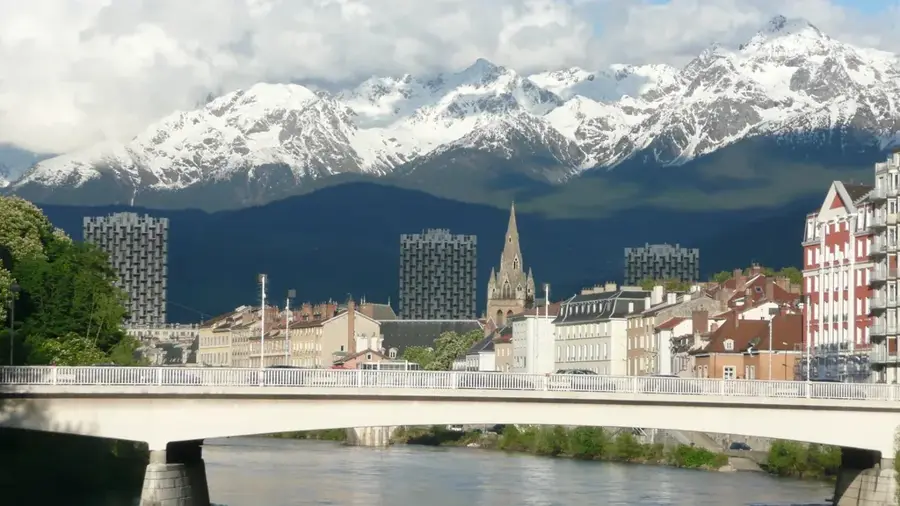
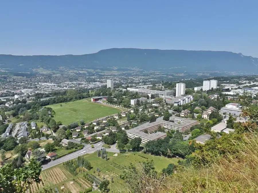
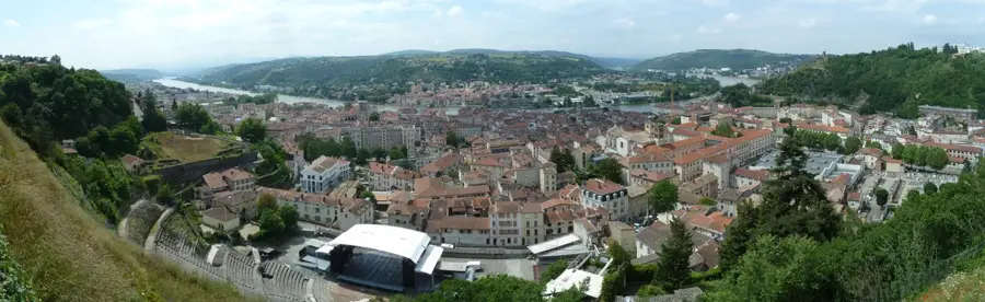
The Chartreuse Massif is a rugged limestone range in the French Prealps, positioned between Grenoble to the south and Chambéry to the north. It is defined by its dramatic vertical cliffs, deep forested valleys, and hidden alpine meadows, with Chamechaude serving as its highest point at 2,082 meters. Geologically, the massif is composed of thick layers of Urgonian limestone, folded and faulted by Alpine orogeny into a series of impressive ridges. The region is synonymous with the Carthusian Order, founded here in 1084 by Saint Bruno, who established the Grande Chartreuse monastery in a remote mountain desert. This spiritual heritage has fostered a unique culture of conservation, leading to the creation of the Chartreuse Regional Natural Park, which protects diverse wildlife including chamois and golden eagles. The massif is also internationally recognized for the eponymous herbal liqueur, distilled by the Carthusian monks using a secret recipe of 130 plants, representing a major cultural and economic element of this striking mountain landscape.
- Location: Auvergne-Rhône-Alpes, France
- Top sights: Musée de la Grande Chartreuse · Dent de l'Ours · Le Grand Som
- Nearby: Crolles (11 km)
Best time to visit & climate
The most pleasant time to visit is Jun–Aug.
| Jan | Feb | Mar | Apr | May | Jun | Jul | Aug | Sep | Oct | Nov | Dec | |
|---|---|---|---|---|---|---|---|---|---|---|---|---|
| Avg °C | -3 | -3 | 1 | 6 | 9 | 14 | 16 | 15 | 12 | 8 | 2 | -2 |
| Rain mm | 94 | 69 | 84 | 68 | 105 | 87 | 80 | 82 | 71 | 83 | 93 | 98 |
📋 Practical info
Geography
Facts
- Chamechaude is the summit of the range at 2,082 meters.
- The massif was formed about 60 to 70 million years ago.
- The Grande Chartreuse monastery remains the head house of the Carthusian order.
- There are roughly 1,300 species of flora recorded in the park.
- The 'Sangle' is a unique type of cliff-side path found in this range.
- The liqueur production was moved to Voiron in 1935 for industrial safety.
Explore nearby
Notable places around
Route planner — Car & Motorhome
Where do you start? We build the route here, with stops and country notes along the way.
© OpenStreetMap contributors · OpenRouteService
Sights in the town Chartreuse Massif (7)
Sights nearby
Frequently asked questions
What is the Chartreuse Massif world-famous for?
Can you visit the Grande Chartreuse monastery?
What is the highest peak of the massif?
Are there winter sports opportunities?
Where exactly are the mountains located?
Chartreuse Massif: where is it located?
Chartreuse Massif: what is there to see?
Chartreuse Massif: when is the best time to visit?
Chartreuse Massif: why is it worth visiting?

Nearby cities