Plizio Visual Lab
Saint-Ismier
ℹ️Practical info — Saint-Ismier
▾
🌤 Weather — 5 days
📍 Nearby
Sights nearby
💡 Tips
- The town is situated on a hillside; comfortable footwear is highly recommended for the hilly streets.
- Use Saint-Ismier as a great starting point for hikes in the Chartreuse Regional Nature Park.
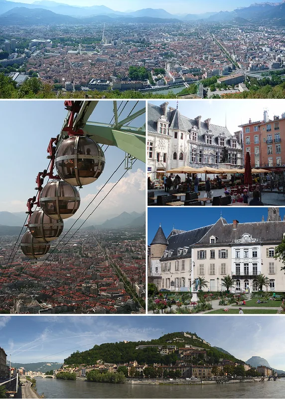
- The bus line conveniently connects the village to Grenoble, good for avoiding parking issues in the big city.
- Find a viewpoint in the upper part of the village to photograph the memorable Belledonne massif.
🍽 Food
Try this classic regional potato gratin in the traditional restaurants in the village center.
The region's famous walnuts can be found at the local market or incorporated into desserts at bakeries.
Enjoy this herbal liqueur as a digestif after dinner in a local brasserie.
🛍 Shopping · 🧘 Quiet spots
The handy spot on the village square to buy fresh alpine cheese, local vegetables, and honey.
Buy regional wines directly from the small producers cultivating the slopes of the Chartreuse.
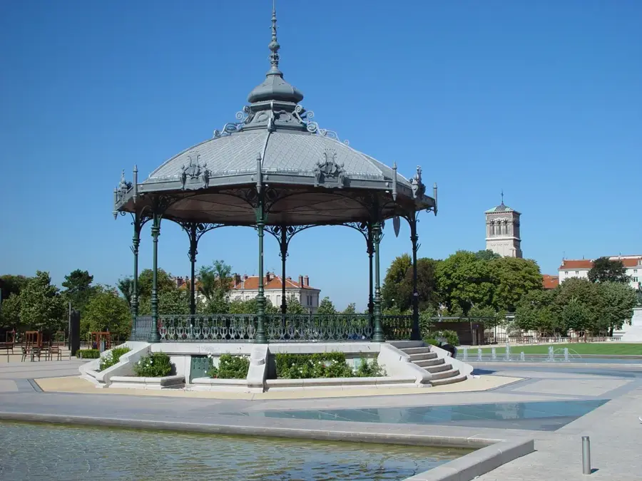
A beautiful, well-kept park in the heart of the community, excellent for a short break in the shade.
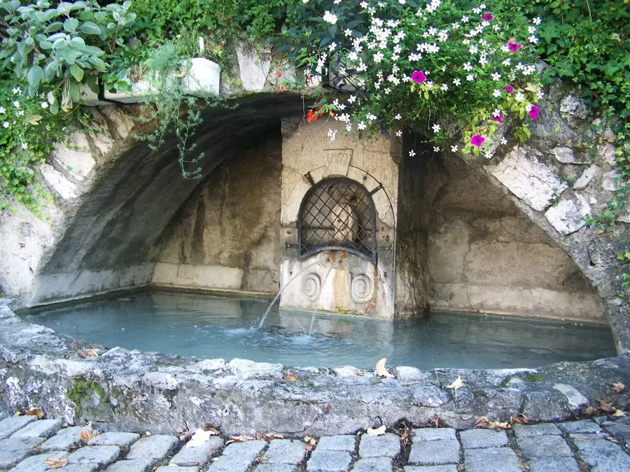
Leave the center towards the mountains to immerse yourself in nature on quiet trails.
Water temperature…
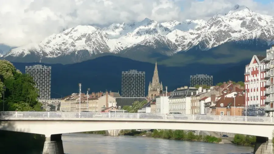
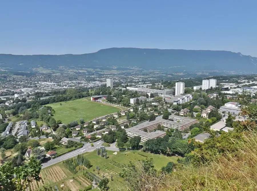
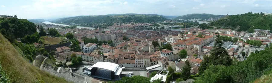
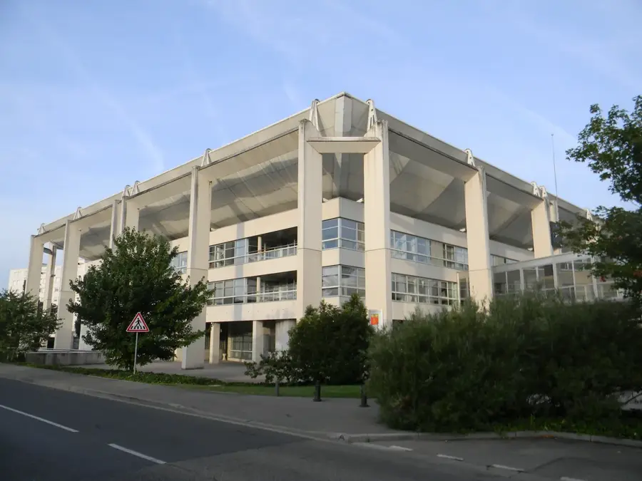
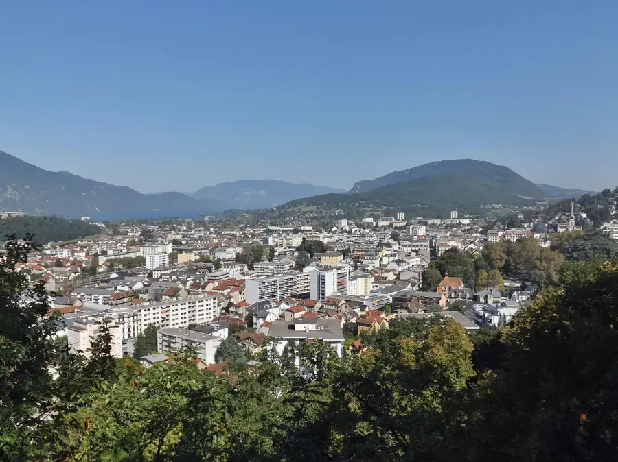
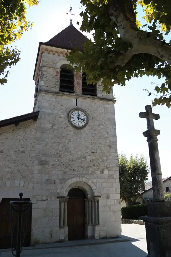
Saint-Ismier is located in southeastern France in the Isère department, in the heart of the fertile Grésivaudan valley. Part of the Grenoble metropolitan area, it is considered one of the region's most exclusive residential districts. Geographically, the town stretches from the banks of the Isère river to the slopes of the Chartreuse massif, offering a spectacular panoramic view of the opposite Belledonne range. Historically, Saint-Ismier was a rural village with significant viticulture for a long time. Its architectural heritage includes old manors and a 12th-century Romanesque church. Today, the town benefits immensely from Grenoble's economic dynamism, particularly in high technology (Inovallée). Despite strong population growth, Saint-Ismier has maintained its green character. The town also hosts important educational institutions, such as a renowned horticultural school. The surrounding area has excellent opportunities for hiking, skiing, and other mountain sports.
- Location: Auvergne-Rhône-Alpes, France
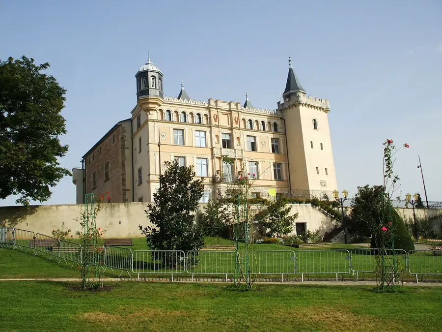
- Top sights: Saint-Ismier Church · Château de la Tour · Manival Belvedere
- Nearby: Villard-Bonnot (5 km)
- Population: ~7.242
Best time to visit & climate
The most pleasant time to visit is Jun–Aug.
| Jan | Feb | Mar | Apr | May | Jun | Jul | Aug | Sep | Oct | Nov | Dec | |
|---|---|---|---|---|---|---|---|---|---|---|---|---|
| Avg °C | -7 | -7 | -3 | 2 | 6 | 11 | 13 | 12 | 9 | 5 | -1 | -6 |
| Rain mm | 69 | 54 | 67 | 61 | 90 | 71 | 58 | 59 | 59 | 75 | 89 | 79 |
Geography
Facts
- Elevation: 216 to 1489 m
- Area: 21.09 km²
- Location: Grésivaudan Valley
- View of: Belledonne Massif
- Education: Horticultural high school
- Distance to Grenoble: 10 km
Explore nearby
Notable places around
Route planner — Car & Motorhome
Where do you start? We build the route here, with stops and country notes along the way.
© OpenStreetMap contributors · OpenRouteService
Sights in the town Saint-Ismier (6)
Frequently asked questions
What makes Saint-Ismier attractive to tourists?
Are there local wineries to visit?
How is the connection to Grenoble?
What outdoor sports are popular here?
Are there historical buildings in the town?
Saint-Ismier: where is it located?
Saint-Ismier: what is there to see?
Saint-Ismier: when is the best time to visit?
Saint-Ismier: why is it worth visiting?

Nearby cities