Plizio Visual Lab
Ardeche Gorge
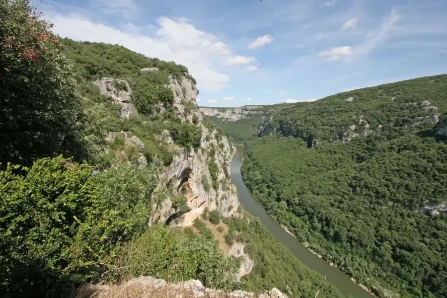
The Ardèche Gorges are a spectacular canyon in southern France, stretching for approximately 30 kilometers between Vallon-Pont-d’Arc and Saint-Martin-d’Ardèche. Over millions of years, the Ardèche River has carved deeply into the limestone plateau, creating impressive limestone cliffs that reach heights of up to 300 meters. The most iconic landmark is the Pont d’Arc, a natural stone bridge spanning 60 meters that arches over the river waters. The region is not only a paradise for canoeists and hikers but also holds immense archaeological significance, as the nearby Chauvet Cave contains some of the world's oldest prehistoric wall paintings. Since 1980, the area has been protected as a National Nature Reserve to conserve its rich flora and fauna, including the endangered Egyptian vulture. A scenic road running along the rim of the canyon features numerous viewpoints (belvédères) where visitors can admire the river's dramatic meanders. The Ardèche Gorges remain one of France's most frequented and celebrated natural sites.
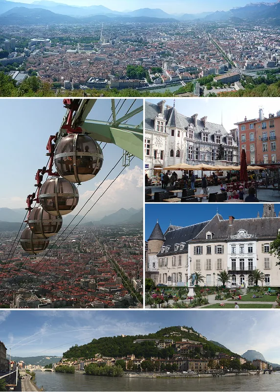
- Location: Auvergne-Rhône-Alpes, France
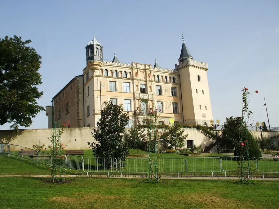
- Top sights: Grotte Chauvet · Site médiéval · Grotte Chauvet 2 Ardèche
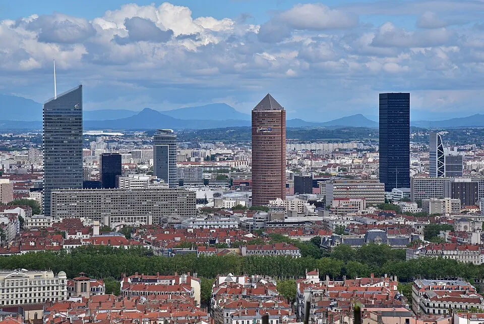
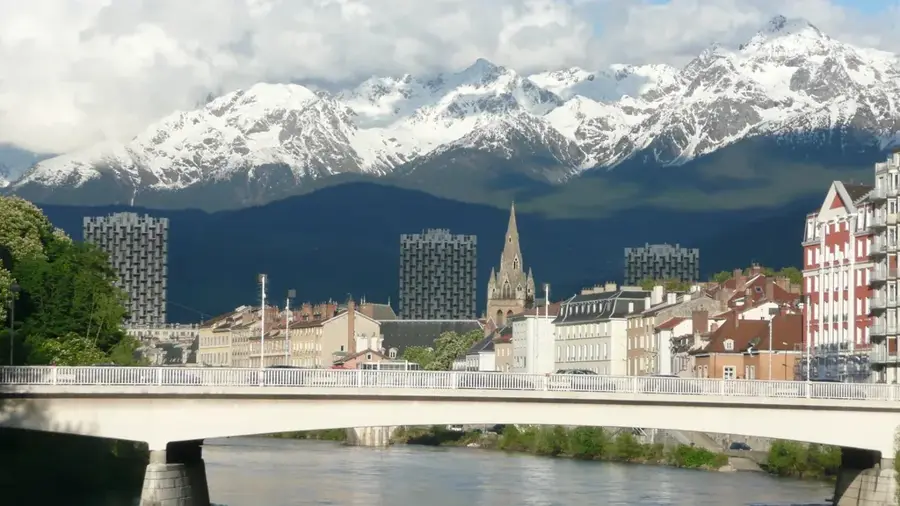
- Nearby: Saint-Privat-de-Champclos (11 km)
Best time to visit & climate
The most pleasant time to visit is Jun–Aug.
| Jan | Feb | Mar | Apr | May | Jun | Jul | Aug | Sep | Oct | Nov | Dec | |
|---|---|---|---|---|---|---|---|---|---|---|---|---|
| Avg °C | 3 | 3 | 7 | 10 | 14 | 19 | 22 | 22 | 17 | 12 | 7 | 3 |
| Rain mm | 62 | 50 | 57 | 74 | 77 | 53 | 45 | 48 | 75 | 113 | 116 | 68 |
📋 Practical info
Geography
Facts
- The canyon extends for approximately 30 kilometers.
- The Pont d’Arc natural bridge has a span of 60 meters.
- The cliffs reach a maximum vertical height of 300 meters.
- Established as a National Nature Reserve in 1980.
- Home to the Chauvet Cave, a UNESCO World Heritage site.
- Regarded as Europe's premier destination for recreational canoeing.
Explore nearby
Notable places around
Route planner — Car & Motorhome
Where do you start? We build the route here, with stops and country notes along the way.
© OpenStreetMap contributors · OpenRouteService
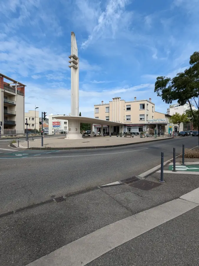
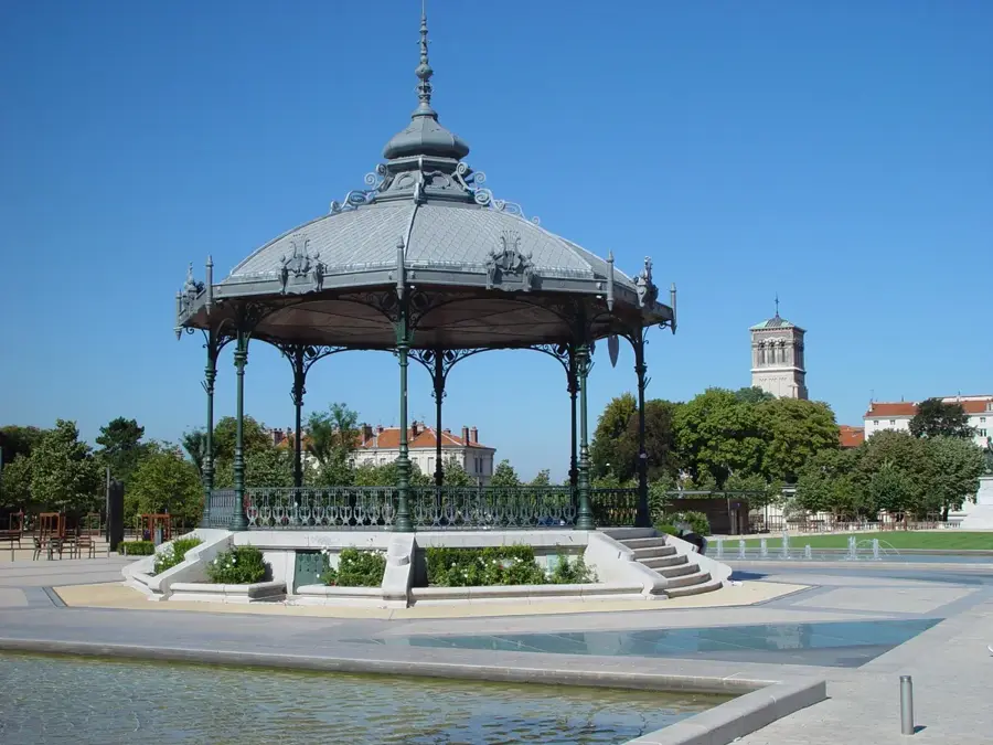
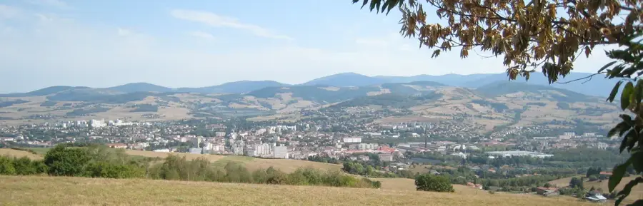
Sights in the town Ardeche Gorge (8)
Sights nearby
Frequently asked questions
What is the main attraction of the Gorges de l'Ardèche?
How long is the canyon?
Can you drive through the canyon?
Which sporting activity is most popular there?
Are there caves nearby?
Ardeche Gorge: where is it located?
Ardeche Gorge: what is there to see?
Ardeche Gorge: when is the best time to visit?
Ardeche Gorge: why is it worth visiting?

Nearby cities