Plizio Visual Lab
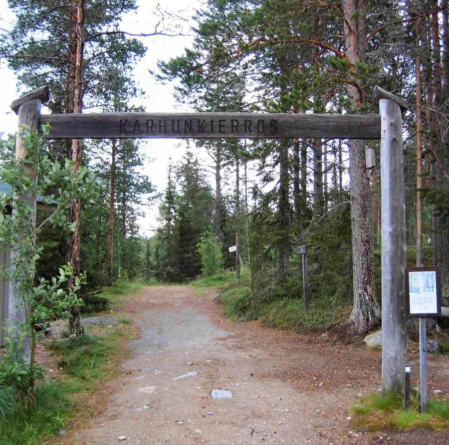
Hossa

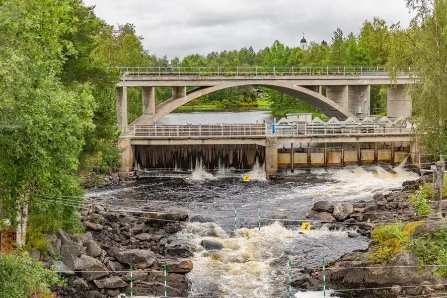
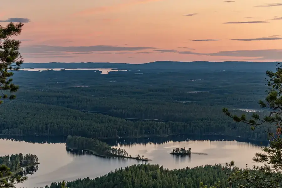
Hossa National Park was officially inaugurated in June 2017 to celebrate the centenary of Finnish independence, becoming the nation's 40th national park. Located in the Suomussalmi municipality, it encompasses approximately 11,000 hectares of pristine boreal forests, crystal-clear lakes, and prominent esker ridges. The area has been inhabited since the Stone Age, as evidenced by the famous Värikallio rock paintings, which date back to between 3500 and 4500 BC. These paintings consist of over 60 distinct figures and represent one of the largest and most significant prehistoric rock art sites in Fennoscandia. Hossa is renowned for its diverse aquatic environment, featuring over 130 lakes and ponds, making it a premier destination for fishing, canoeing, and hiking. The landscape was sculpted by the last Ice Age, resulting in deep kettle holes and narrow ridges that provide a unique habitat for reindeer and brown bears. The park maintains a network of over 90 kilometers of marked trails, supporting sustainable tourism while preserving the remote cultural heritage of the Kainuu region.
📋 Practical info
Geography
Facts
- Established in 2017 as Finland's 40th national park
- Covers an area of 11,000 hectares in the Kainuu region
- Home to the Värikallio rock paintings from 3500 BC
- Contains more than 130 lakes and ponds within its borders
- Offers 90 kilometers of marked hiking and cycling trails
- The landscape was shaped by the Wisconsian glaciation
Explore nearby
Notable places around
Route planner — Car & Motorhome
Where do you start? We build the route here, with stops and country notes along the way.
© OpenStreetMap contributors · OpenRouteService
Sights in the town Hossa (1)
Sights nearby
Frequently asked questions
What is the main attraction in Hossa?
Are there marked hiking trails?
Can you camp in the park?
Is fishing allowed in the lakes?
When is the best time to visit?
Hossa: where is it located?
Hossa: why is it worth visiting?

Nearby cities

Nature
More places