Plizio Visual Lab
Salo
ℹ️Practical info — Salo
▾
🌤 Weather — 5 days
📍 Nearby
Sights nearby
💡 Tips
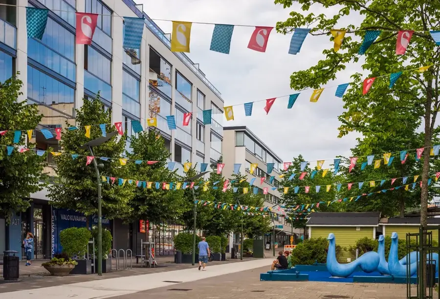
- Join the locals for morning coffee and a pastry at the animated Salo Market Square, especially busy on summer Thursdays.
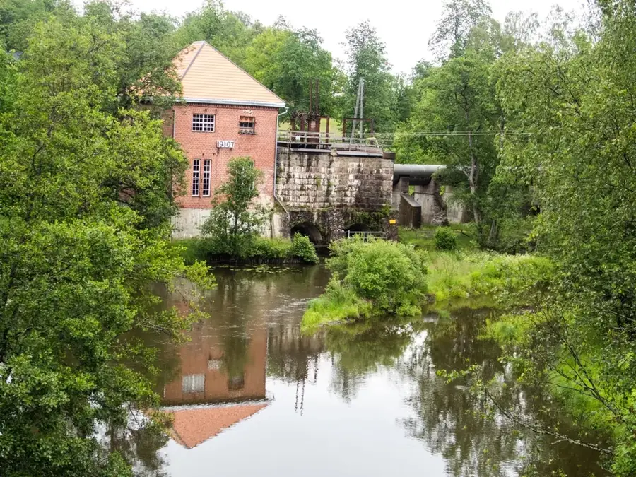
- Explore the nearby historic ironworks villages like Mathildedal, easily reachable by a short drive.
- Bicycles are a great way to navigate the flat coastal terrain and riverside paths.
- Download a local parking app, as street parking in the commercial center requires a disc or digital payment.
🍽 Food
Buy these traditional flat, pig-shaped apple jam doughnuts from a market square cafe.
A comforting bowl found in seafood restaurants near the sea bay or at the market.
Head to the cafes and breweries in the nearby Mathildedal village for local craft flavors.
🛍 Shopping · 🧘 Quiet spots
Stop at design shops along the main highway or in the city center for iconic Finnish glass and textiles.
The Salo market is famous for its fresh seasonal berries, peas, and root vegetables.
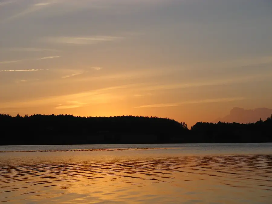
A beautiful nature park and camping area located on a small island in the sea bay, excellent for a quiet stroll.
Walk along the river that cuts through the town center, lined with weeping willows and green spaces.
Water temperature…
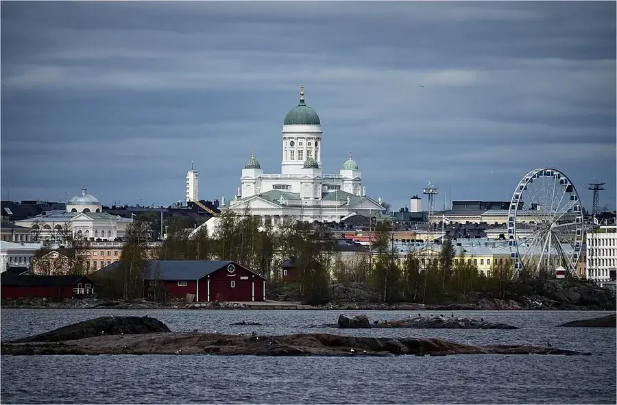
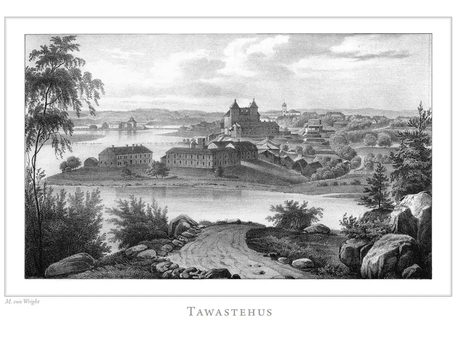
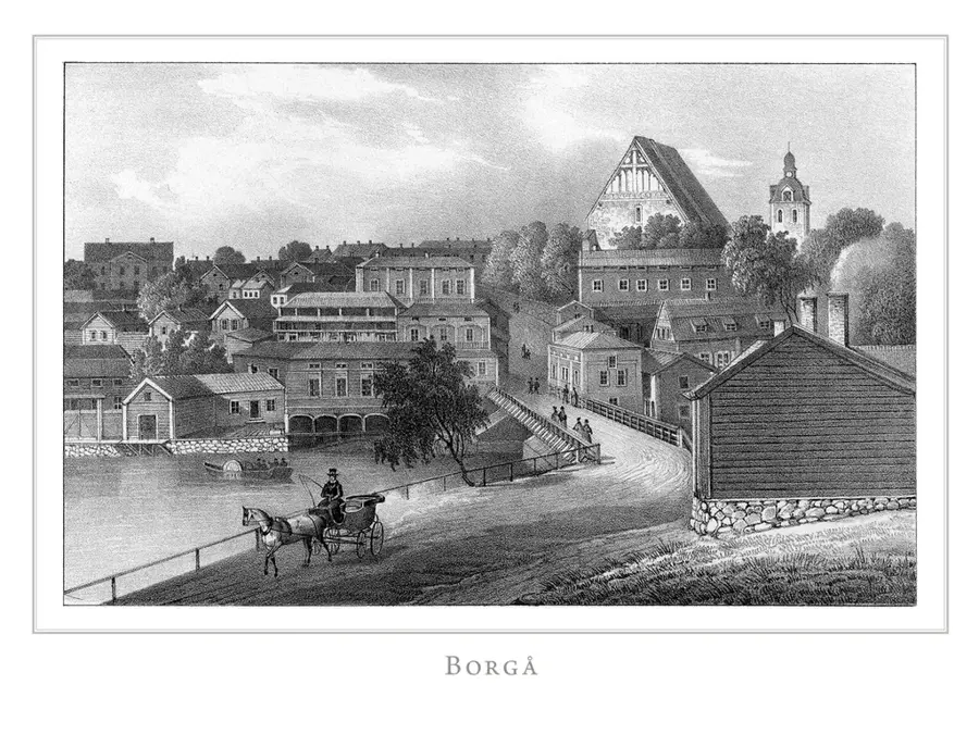
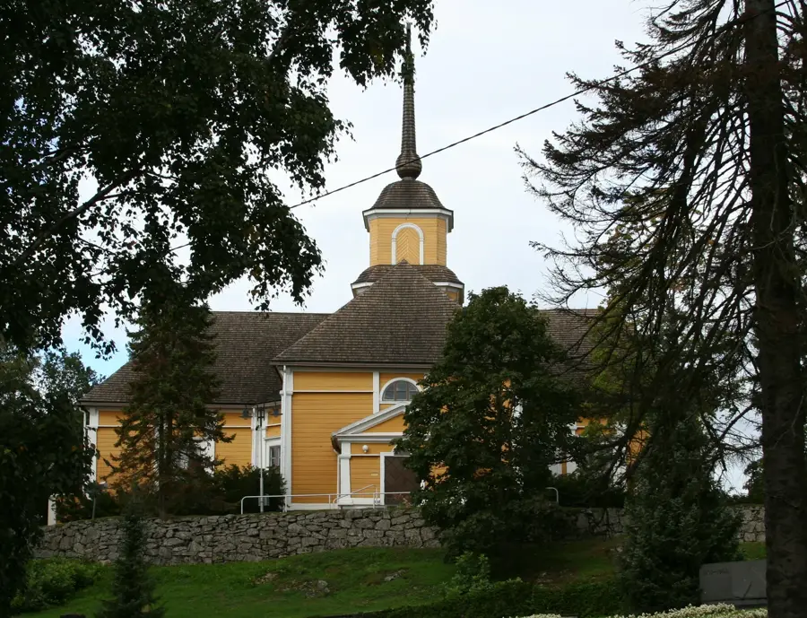
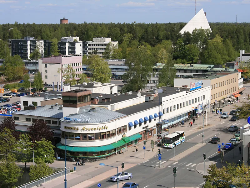
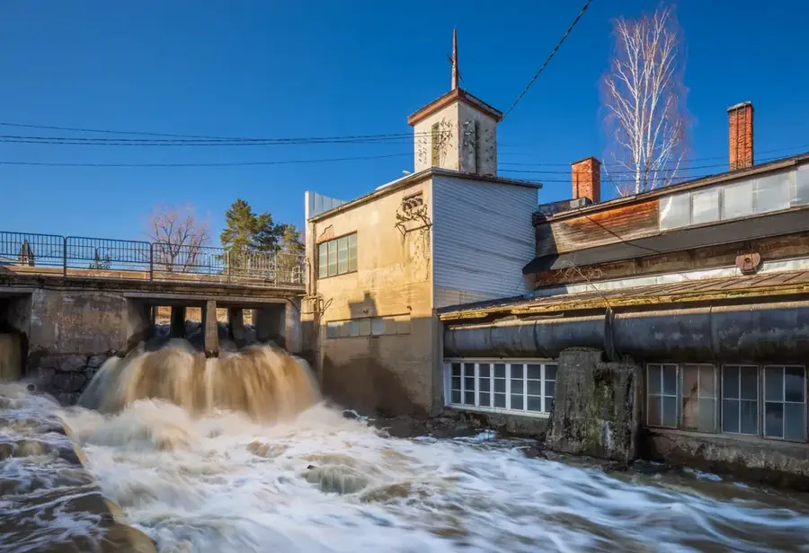
Salo is located in the Southwest Finland region, situated halfway between the capital Helsinki and the historic city of Turku. The town achieved global fame as a major hub for the electronics industry, most notably hosting Nokia’s mobile phone manufacturing and research facilities for several decades. Historically, Salo has been a significant trading post since the Middle Ages, developing at the junction of the Uskelanjoki river and ancient coastal roads. A prominent architectural landmark is the Uskela Church, designed by Carl Ludvig Engel and completed in 1832 on a hill overlooking the town. Following a large-scale municipal merger in 2009 involving ten local districts, Salo became one of the country's leading agricultural producers by land area. Today, the city is refocusing its economy toward diverse technological innovation and services while maintaining its strong cultural connection to the surrounding Baltic Sea coast.
- Location: Finland
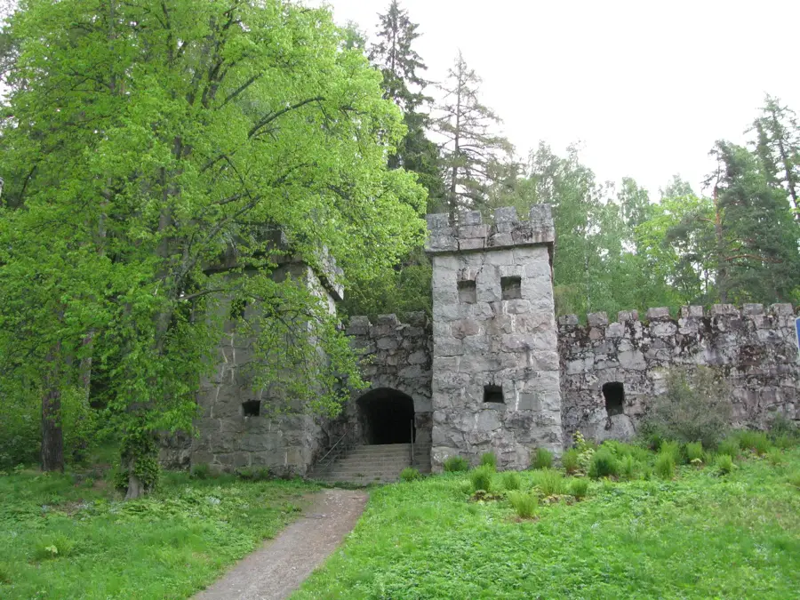
- Top sights: Hakastaron linna · Veturitalli · Elektroniikkamuseo
- Nearby: Paimio (26 km)
- Population: ~50.794
Best time to visit & climate
The most pleasant time to visit is Jun–Aug.
| Jan | Feb | Mar | Apr | May | Jun | Jul | Aug | Sep | Oct | Nov | Dec | |
|---|---|---|---|---|---|---|---|---|---|---|---|---|
| Avg °C | -6 | -6 | -2 | 4 | 10 | 14 | 18 | 17 | 12 | 5 | 1 | -3 |
| Rain mm | 58 | 46 | 43 | 42 | 49 | 69 | 67 | 71 | 59 | 76 | 71 | 69 |
Geography
Facts
- Salo was formed by a 10-municipality merger in 2009
- Uskela Church was designed by Carl Ludvig Engel in 1832
- The city was a global production hub for Nokia for decades
- Salo covers a total land area of about 1,438 square kilometers
- The Uskelanjoki river flows through the heart of the city
- Salo is located on the main railway line between Helsinki and Turku
Explore nearby
Notable places around
Route planner — Car & Motorhome
Where do you start? We build the route here, with stops and country notes along the way.
© OpenStreetMap contributors · OpenRouteService
Sights in the town Salo (12)
Frequently asked questions
What are the cultural highlights in Salo?
When does the famous Salo market take place?
Is Salo suitable for families?
How to get from Helsinki to Salo?
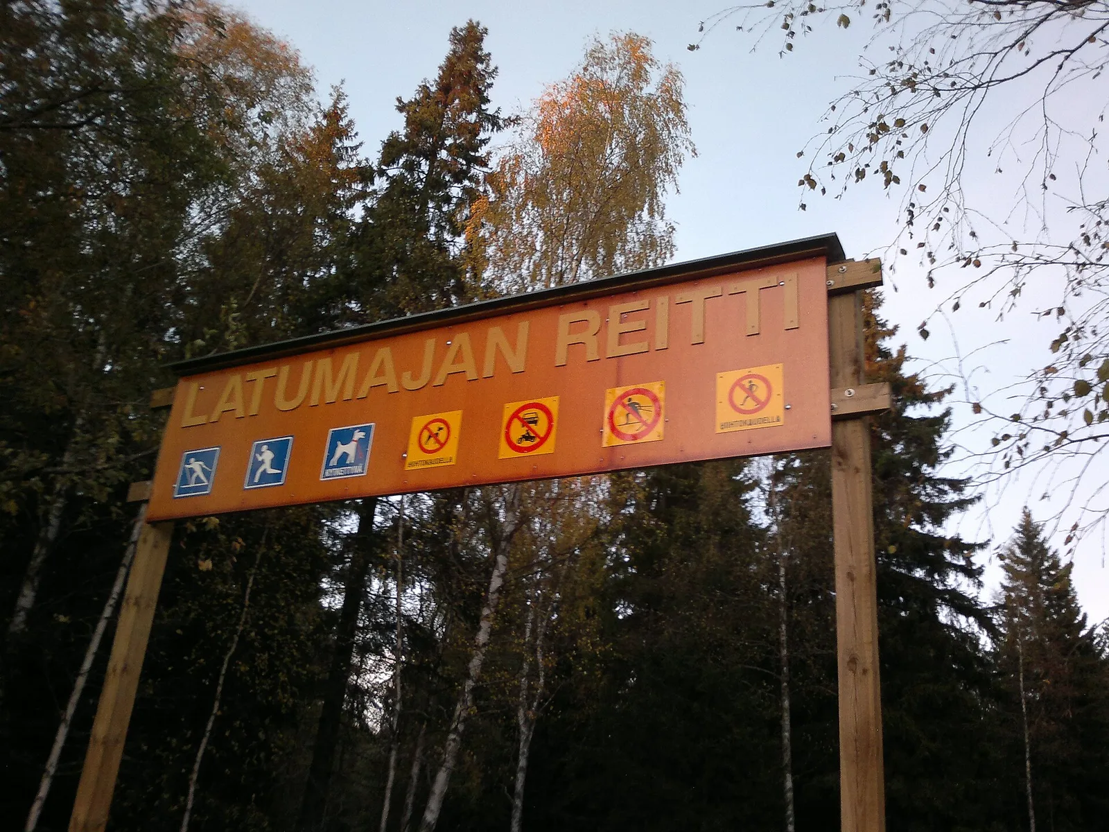
Are there nature trails near the city center?
Salo: where is it located?
Salo: what is there to see?
Salo: when is the best time to visit?
Salo: why is it worth visiting?

Nearby cities