Plizio Visual Lab
Örö
ℹ️Practical info — Örö
▾
🌤 Weather — 5 days
📍 Nearby
Sights nearby
💡 Tips
- Ferry schedules from Kasnäs vary by season; always book your tickets well in advance during summer.
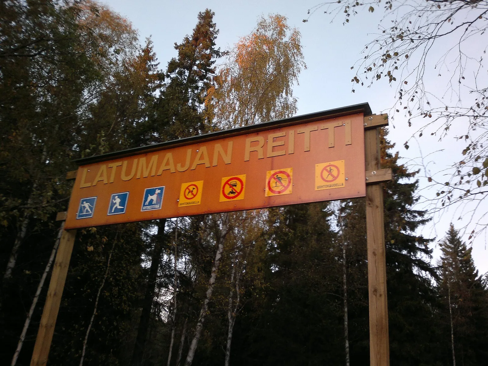
- Rent a bike at the guest harbor to easily navigate the long, old military cobblestone roads.
- Stay on marked trails to protect the fragile coastal meadows and rare butterflies.
- Bring a flashlight if you want to explore the darker sections of the old defense structures.
🍽 Food
Try the local fish dishes at the '12Tuumainen' (12-inch) restaurant, named after the island's giant cannons.
The traditional, dark, and sweet archipelago bread, often served with butter or gravlax.
Pick up smoked fish and snacks from the harbor area to enjoy a meal on the rocks.
🛍 Shopping · 🧘 Quiet spots
Sells basic provisions, local handicrafts, and souvenirs related to the island's military history.
Occasionally available at the guest harbor during the high summer season.
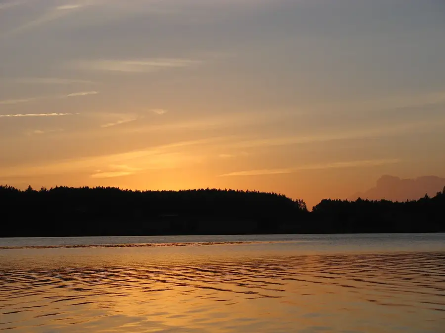
Well-suited spots for watching the sunset over the open Baltic Sea away from the main trails.
A scenic and quiet spot offering great views over the rugged coastal landscape.
Water temperature…
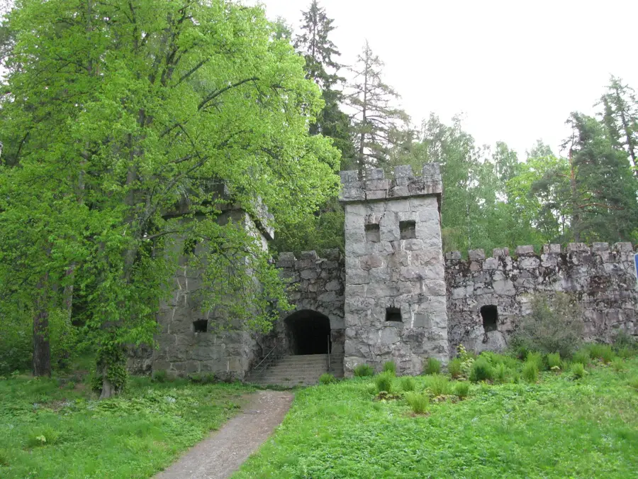
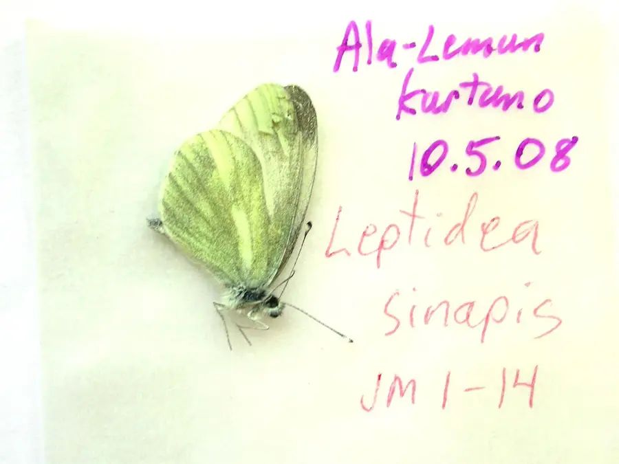
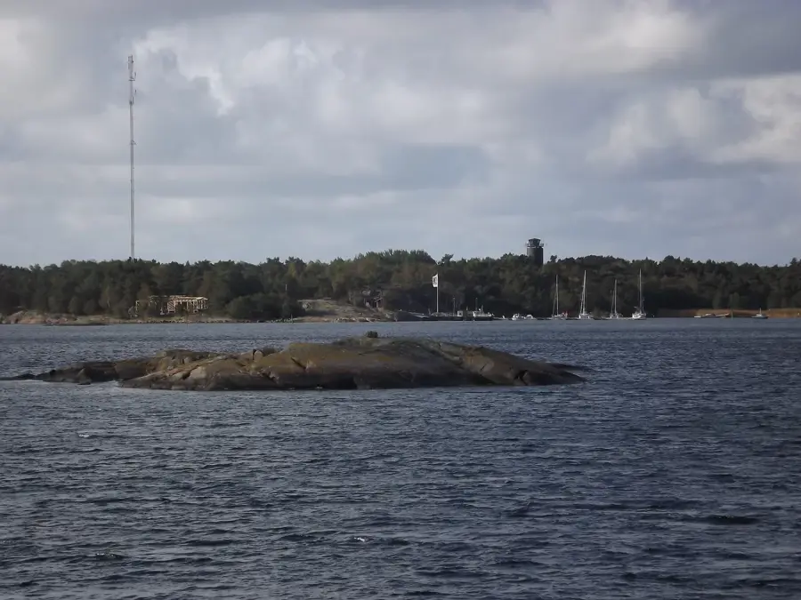
For over a century, Örö was a restricted military zone, only opening its shores to the public in 2015. Now a part of the Archipelago Sea National Park, the island is a unique destination where military history and untouched nature coexist. Its most famous sights are the massive 12-inch (305 mm) Obukhovskii cannons, dating back to the Russian era before Finnish independence. Because it was off-limits for so long, Örö has become a sanctuary for rare species, boasting the highest biodiversity of butterflies and moths in Finland, as well as several endangered plants. Visitors can explore the island via two main trails, named the '6-inch' and '12-inch' routes after the heavy artillery batteries. The terrain ranges from windswept sandy beaches to rugged coastal rocks overlooking the Baltic Sea. Today, the island provides high-quality services, including a guest harbor, a restaurant, and accommodation in renovated military barracks. Accessible by ferry from Kasnäs, Örö provides a great escape for those looking to explore a wilder side of the Finnish archipelago.
- Location: Finland
- Nearby: Bengtskär (14 km)
Geography
Facts
- Restricted military zone until 2015
- Massive 12-inch Obukhovskii guns
- Part of Archipelago Sea National Park
- Highest butterfly diversity in Finland
- WWI-era Russian fortifications
- The '6-inch' and '12-inch' trails
- Stays available in former barracks
- Ferry access from Kasnäs harbor
Explore nearby
Notable places around
Route planner — Car & Motorhome
Where do you start? We build the route here, with stops and country notes along the way.
© OpenStreetMap contributors · OpenRouteService
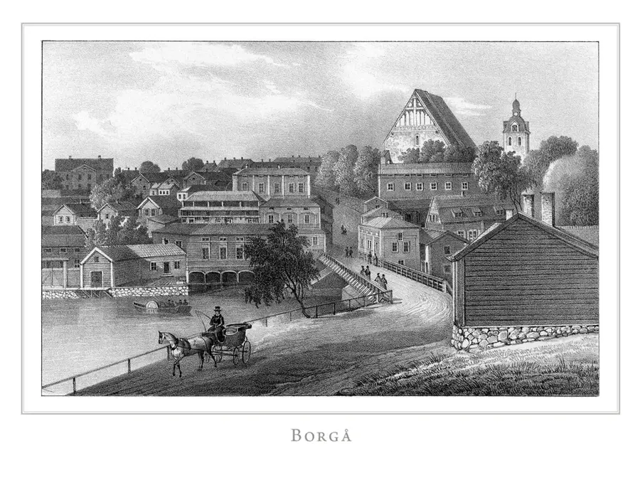
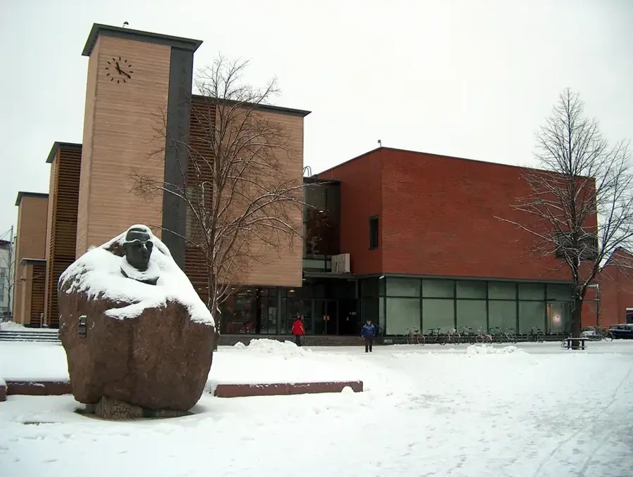
Sights in the town Örö (1)
Frequently asked questions
What is the history of Örö?
How to get to the island?
What can you do on Örö?
Is there accommodation on the island?
Are bicycles allowed?
Örö: where is it located?
Örö: why is it worth visiting?

Nearby cities