Plizio Visual Lab
Bajabonico Plain

Weather…
Water temperature…
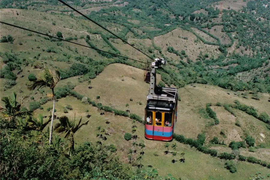
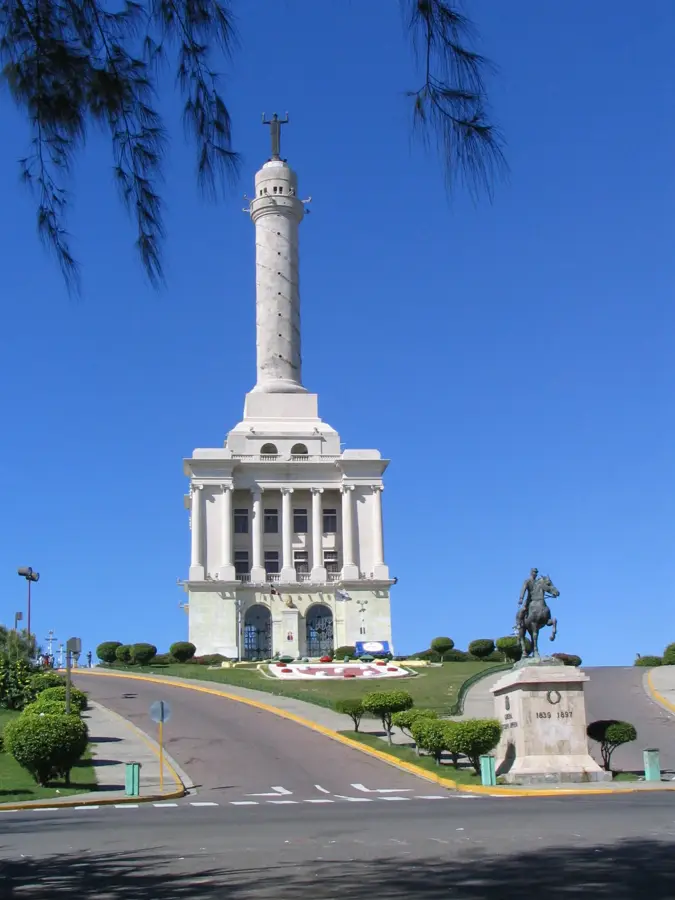
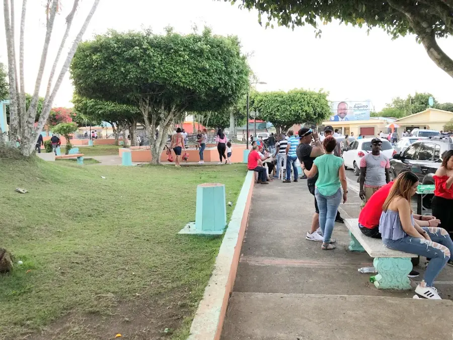
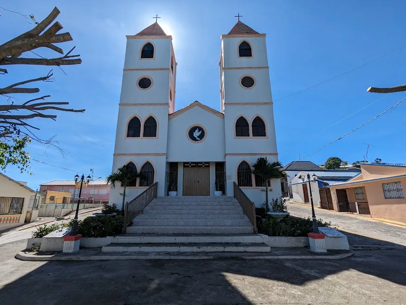
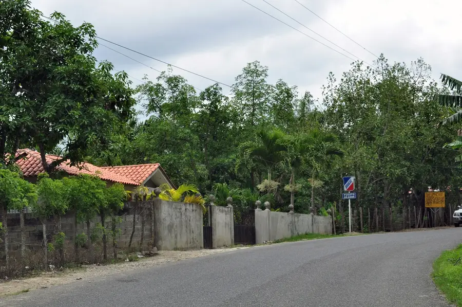
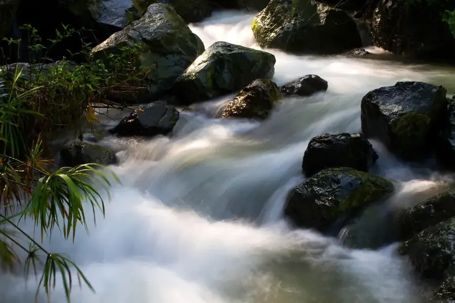
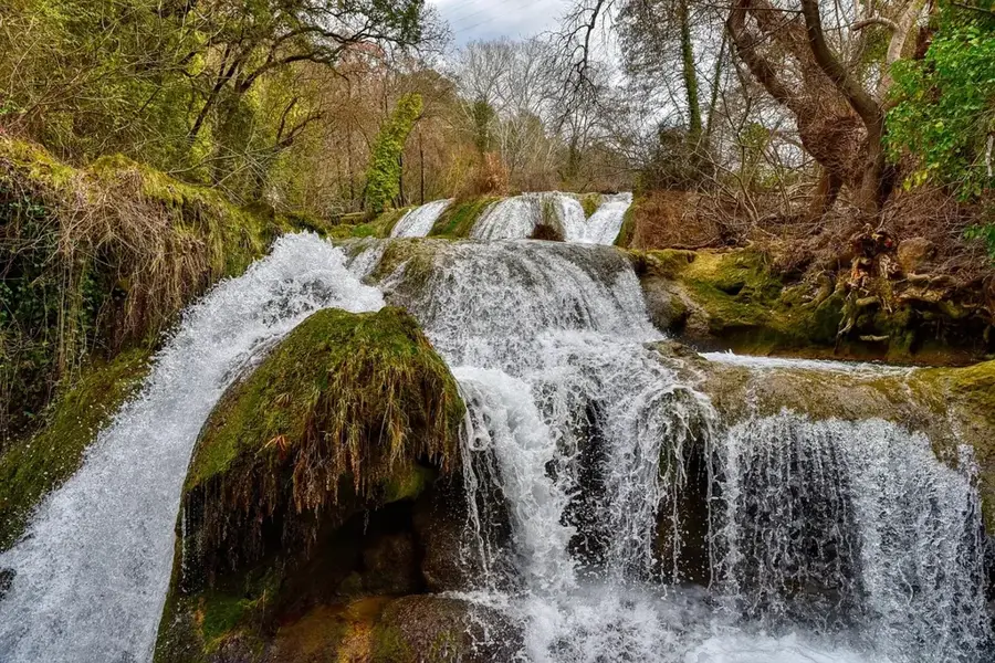
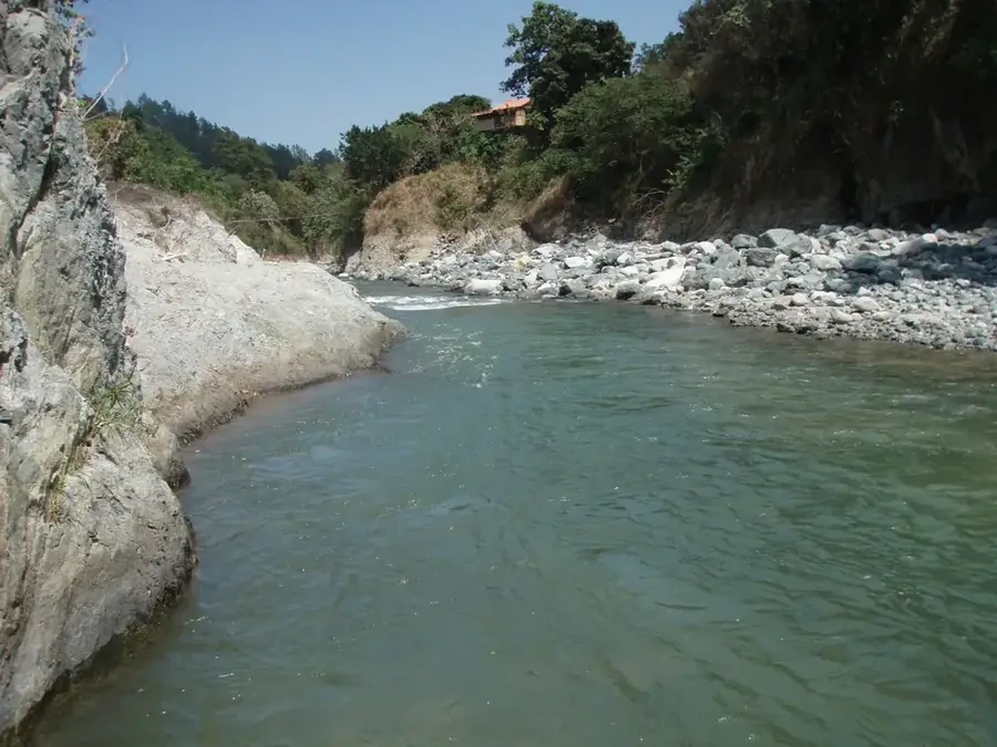
The Bajabonico Plain is located in the northwestern Dominican Republic, in the Puerto Plata province, stretching along the lower reaches of the eponymous Bajabonico River. This alluvial plain is of great historical significance as it directly borders La Isabela, the first settlement founded by Christopher Columbus. Geologically, the plain consists of fertile sedimentary soils that are handy for cultivating tobacco, maize, and fruit trees. The climate is tropical with a distinct dry season, making agriculture dependent on the seasonal water flow of the river. The landscape is defined by the rolling hills of the Cordillera Septentrional to the south and the Atlantic Ocean to the north. The region is also known for its archaeological sites, which provide insights into the early colonial period and the indigenous Taino past.
- Location: Dominican Republic
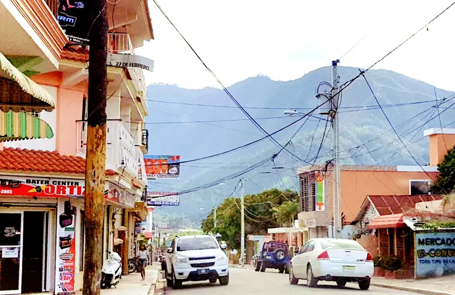
- Nearby: Imbert (4 km)
Best time to visit & climate
The most pleasant time to visit is Jan–Mar.
| Jan | Feb | Mar | Apr | May | Jun | Jul | Aug | Sep | Oct | Nov | Dec | |
|---|---|---|---|---|---|---|---|---|---|---|---|---|
| Avg °C | 25 | 25 | 25 | 26 | 27 | 28 | 28 | 28 | 28 | 28 | 27 | 26 |
| Rain mm | 43 | 26 | 37 | 40 | 69 | 44 | 48 | 57 | 68 | 75 | 91 | 47 |
📋 Practical info
Geography
Facts
- The Bajabonico River is the primary lifeblood of this plain.
- The plain is situated in close proximity to the historical site of La Isabela.
- Tobacco is one of the most important export crops of this region.
- Geologically, the area is characterized by Quaternary sediments.
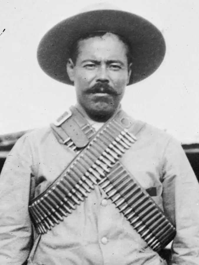
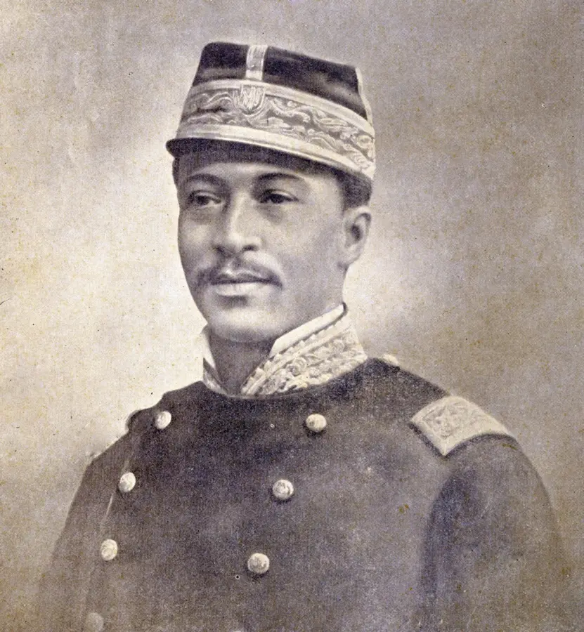
- The area was a major settlement site for the Ciguayo-Taino people.
- Seasonal flooding of the river helps replenish the soil's fertility.
Explore nearby
Notable places around
Route planner — Car & Motorhome
Where do you start? We build the route here, with stops and country notes along the way.
© OpenStreetMap contributors · OpenRouteService
Sights in the town Bajabonico Plain (1)
Sights nearby
Frequently asked questions
Where is the Bajabonico Plain located?
What is the historical significance of this region?
How is the area used agriculturally?
Are there rivers there?
How is the topography?
Bajabonico Plain: where is it located?
Bajabonico Plain: when is the best time to visit?
Bajabonico Plain: why is it worth visiting?

Nearby cities

History & landmarks
Nature
More places