Plizio Visual Lab
Jánico
ℹ️Practical info — Jánico
▾
🌤 Weather — 5 days
📍 Nearby
Sights nearby
💡 Tips
- The road from Santiago is winding; drive carefully, especially during afternoon rains.
- Visit the botanical garden early for the best bird watching.
- The climate is cooler here than the coast; bring a light jacket for evenings.
- Cash is preferred; ATMs might occasionally be out of service.
🍽 Food
Try the local roadside lechoneras.
Sweet or savory treats found at local bakeries.
Traditional plantain breakfast at local cafes.
🛍 Shopping · 🧘 Quiet spots
Check small artisan shops near the main church.
Locally sourced cocoa can be bought in the market area.
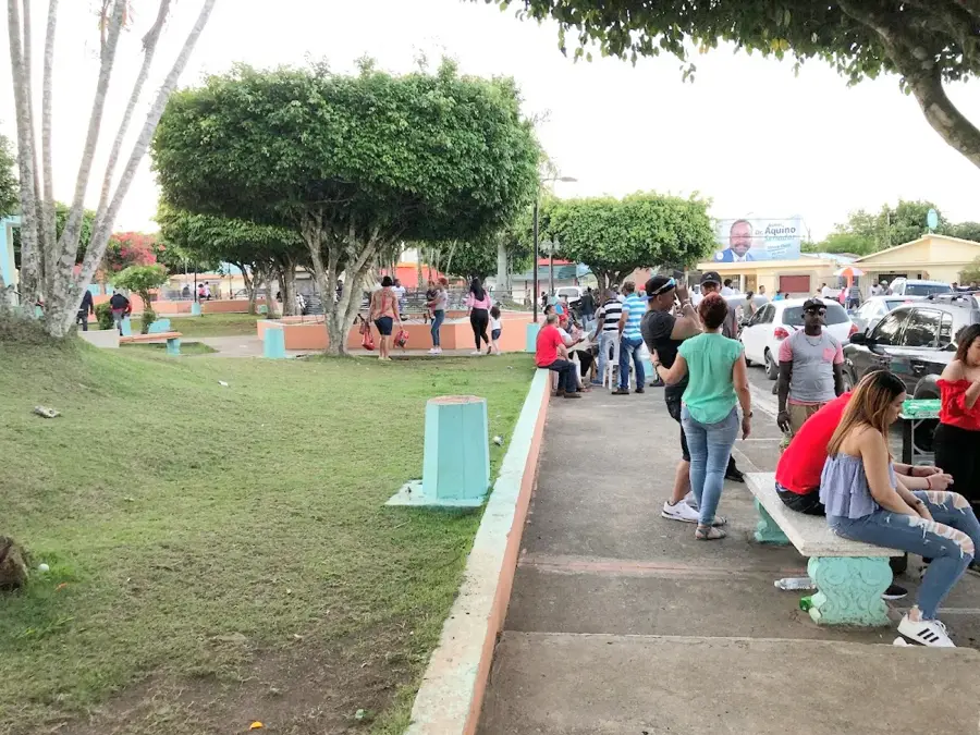
A large, serene space first-rate for a relaxing walk.
A quiet spot for reflection away from the center.
Water temperature…
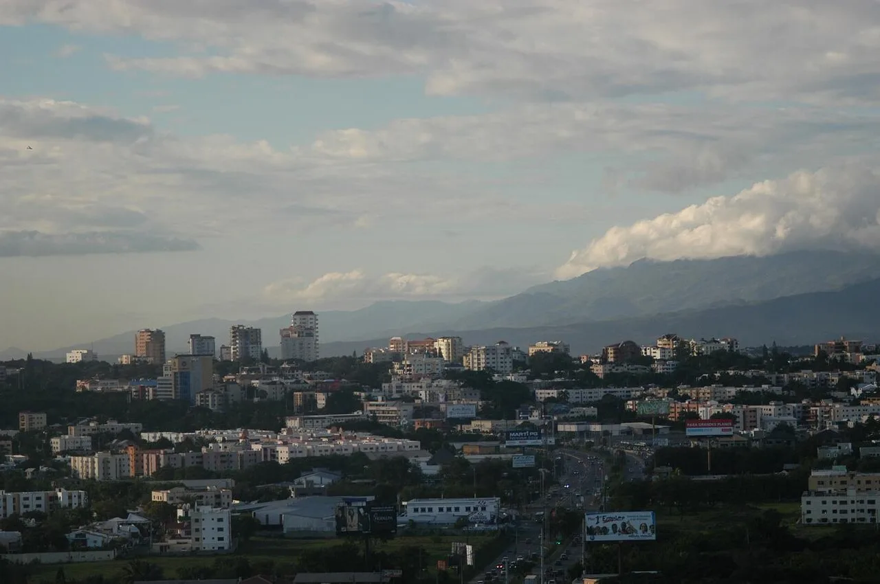
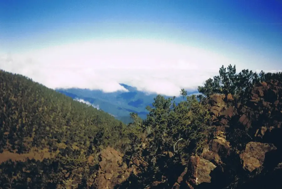
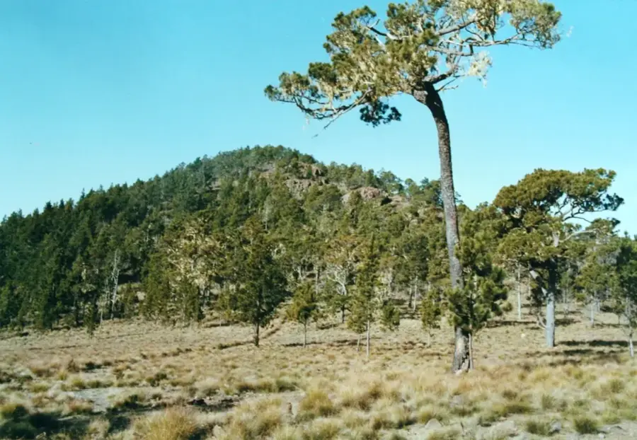
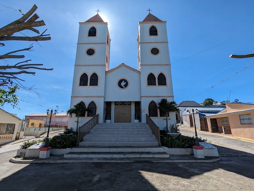
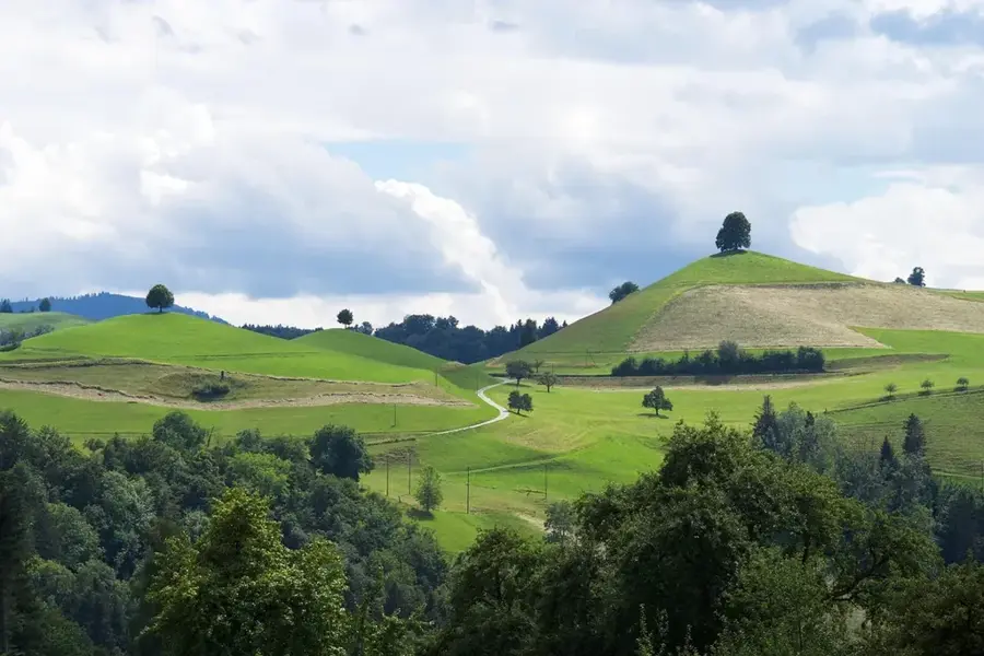
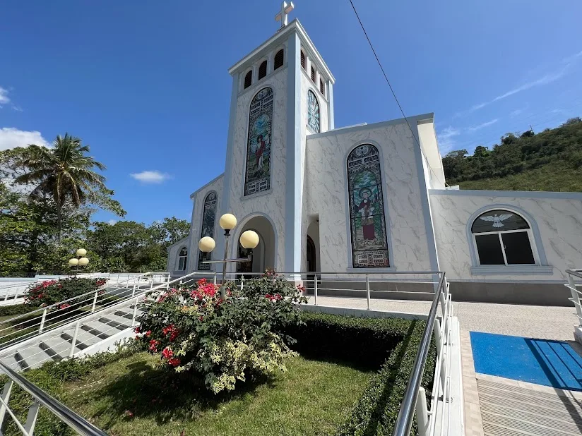
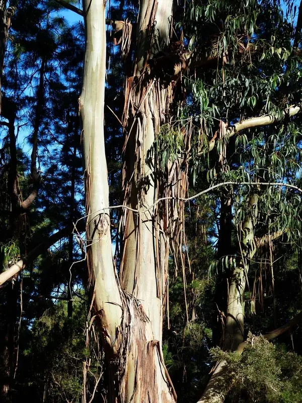
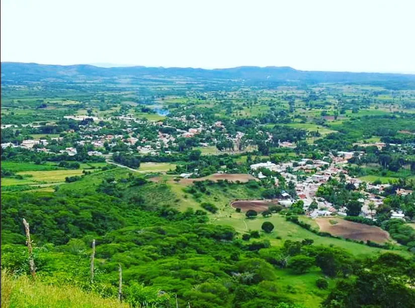
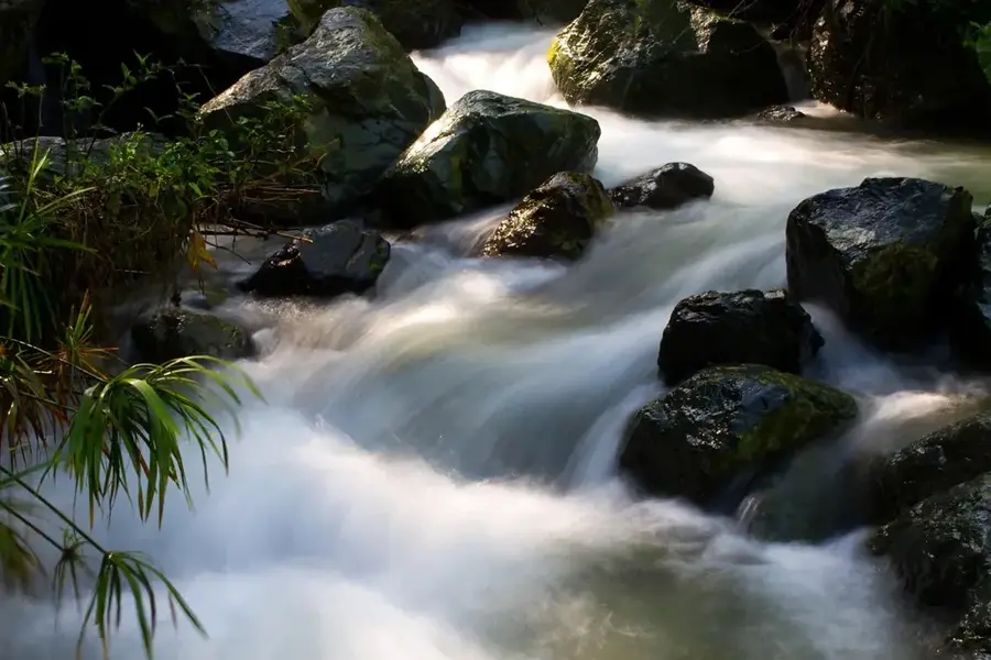
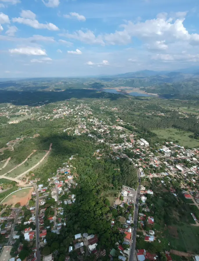
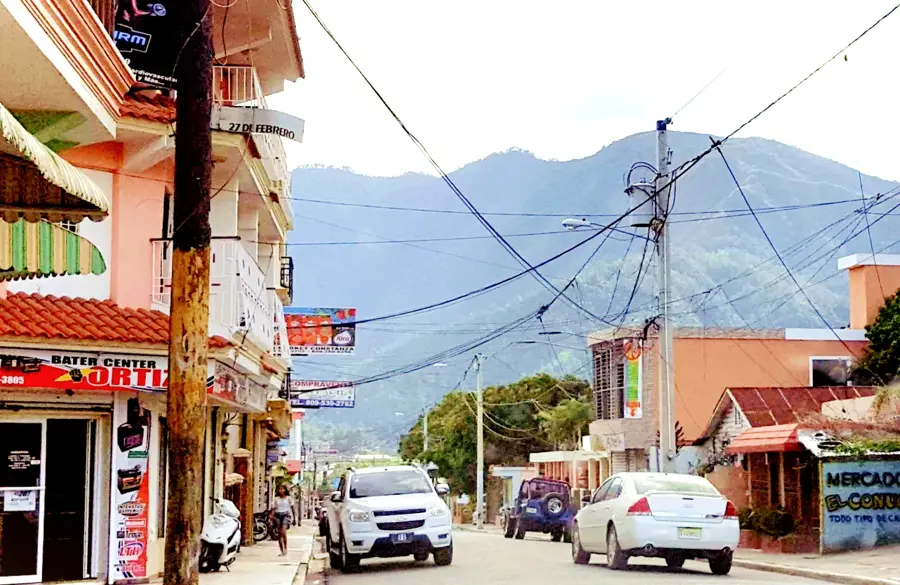
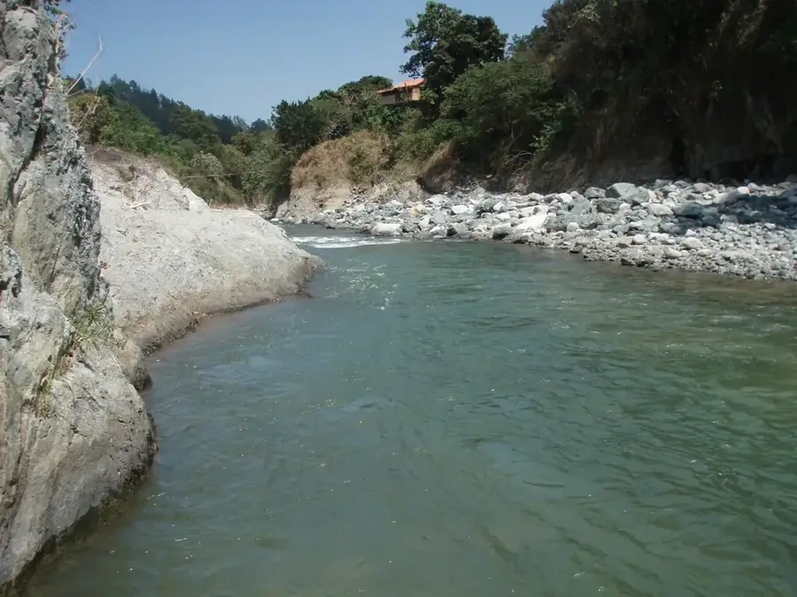
Jánico is a historically significant municipality in the Santiago province, with roots dating back to the discovery of the Americas. It was one of the first locations where Christopher Columbus ordered the construction of the Santo Tomás fortress in 1494 to control the gold deposits in the surrounding rivers. Today's municipality is located within the lush mountains of the Cordillera Central and features a cooler climate than the plains of the Cibao Valley. The economy of Jánico is traditionally characterized by mountain agriculture, with coffee, tobacco, and livestock farming serving as the primary pillars. In recent years, the town has established itself as a destination for agrotourism, with hiking and visits to historical ruins attracting tourists. Geographically, the region features deep canyons and dense forests that are essential for the water regulation of the Yaque del Norte River. The municipality preserves a rich cultural heritage that remains alive in its church architecture and stories of its colonial past.
- Location: Dominican Republic
- Nearby: Sabana Iglesia (13 km)
Best time to visit & climate
The most pleasant time to visit is Jan, Feb, Dec.
| Jan | Feb | Mar | Apr | May | Jun | Jul | Aug | Sep | Oct | Nov | Dec | |
|---|---|---|---|---|---|---|---|---|---|---|---|---|
| Avg °C | 23 | 23 | 24 | 25 | 26 | 28 | 28 | 28 | 27 | 27 | 25 | 23 |
| Rain mm | 41 | 24 | 37 | 38 | 52 | 32 | 35 | 43 | 46 | 51 | 76 | 46 |
Geography
Facts
- Jánico hosted the Santo Tomás fortress, built in 1494, the second fortress in the interior.
- The town was an important center for gold mining during the colonial era.
- The municipality is located at an altitude of approximately 370 meters in the Cordillera Central.
- Coffee is the most important commercial crop of the highland areas.
- Jánico was elevated to municipality status as early as 1881.
- The region is known for its numerous streams and the Jánico River.
Explore nearby
Notable places around
Route planner — Car & Motorhome
Where do you start? We build the route here, with stops and country notes along the way.
© OpenStreetMap contributors · OpenRouteService
Frequently asked questions
Why is Jánico historically important?
What is the landscape like there?
When is the patron saint festival?
How do you get to Jánico?
Is there Wi-Fi there?
Jánico: where is it located?
Jánico: when is the best time to visit?
Jánico: why is it worth visiting?

Nearby cities

History & landmarks
Nature
More places