Plizio Visual Lab
Imbert
ℹ️Practical info — Imbert
▾
🌤 Weather — 5 days
📍 Nearby
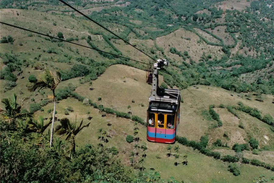
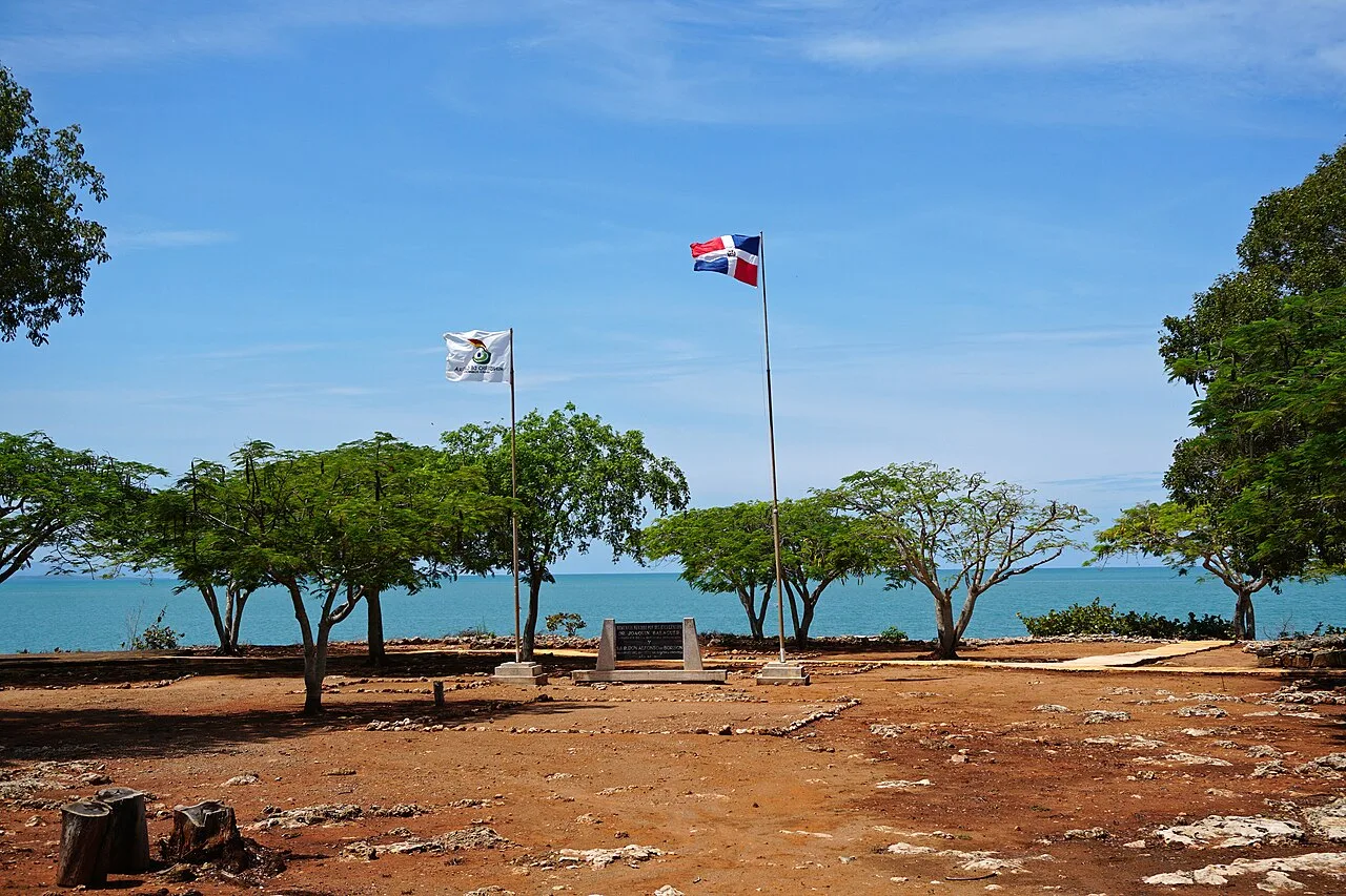
Sights nearby
💡 Tips
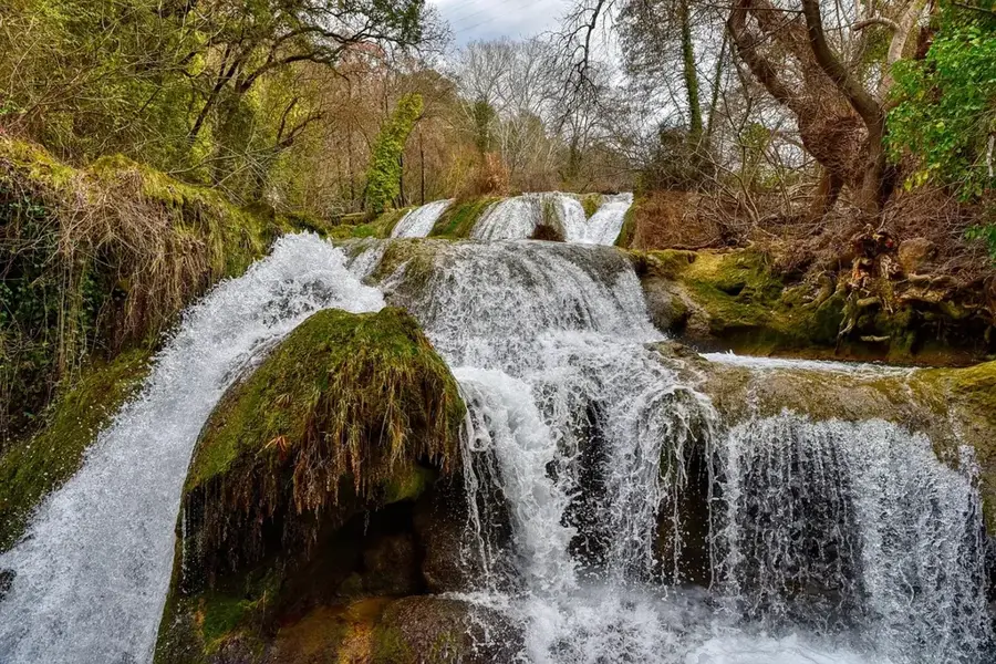
- Arrive at the 27 Charcos de Damajagua exactly at opening time to beat the large cruise ship tour groups.
- Bring closed-toe water shoes, as walking in the rocky riverbed at the waterfalls is very painful otherwise.
- Life jackets and helmets are mandatory at the waterfalls and are provided at the entrance.
- Make a stop at the cheese factories along the main highway to buy the famous local cheese.
🍽 Food
A famous local Dutch-style cheese. Best bought fresh at the factory stands along the highway.
Mashed plantains with garlic and chicharrón. Often served in the rustic roadside restaurants.
Tropical fruit shakes. Look out for small fruit stands in the center of Imbert.
🛍 Shopping · 🧘 Quiet spots
Local artisans in Imbert carve figures from local stone and wood; look in the workshops around town.
Organic cacao from the surrounding hills, often found in the form of cacao balls at grocery stores.
If you hike past the first 7 waterfalls, it becomes pleasantly quiet, away from the large tours.
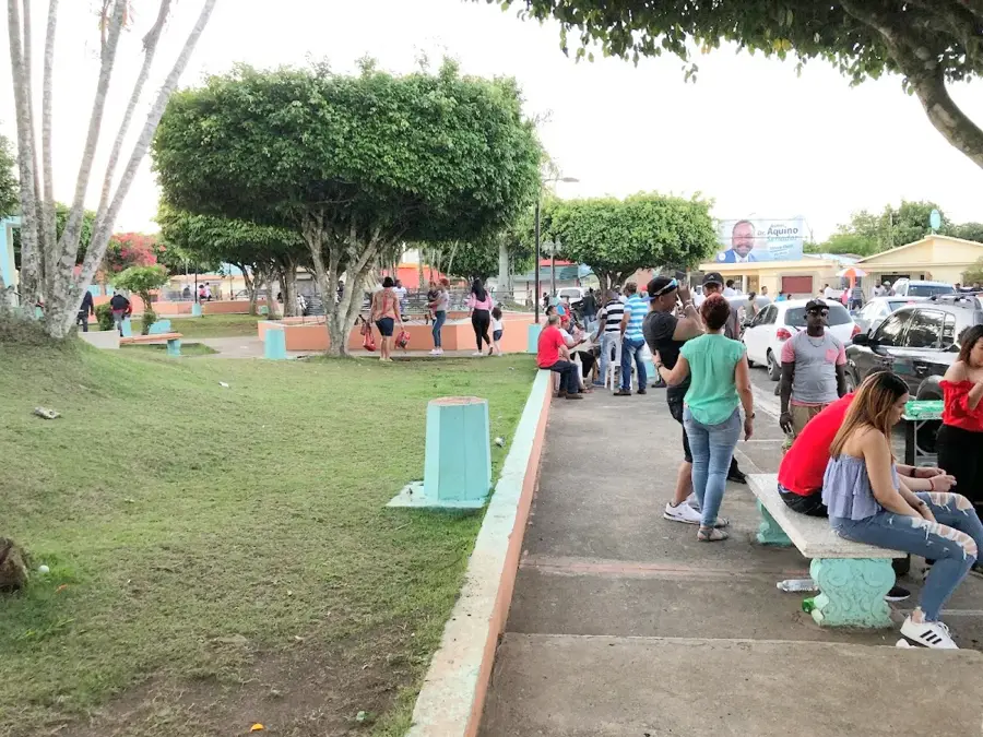
A shady little park to rest among the locals after your excursion.
Water temperature…
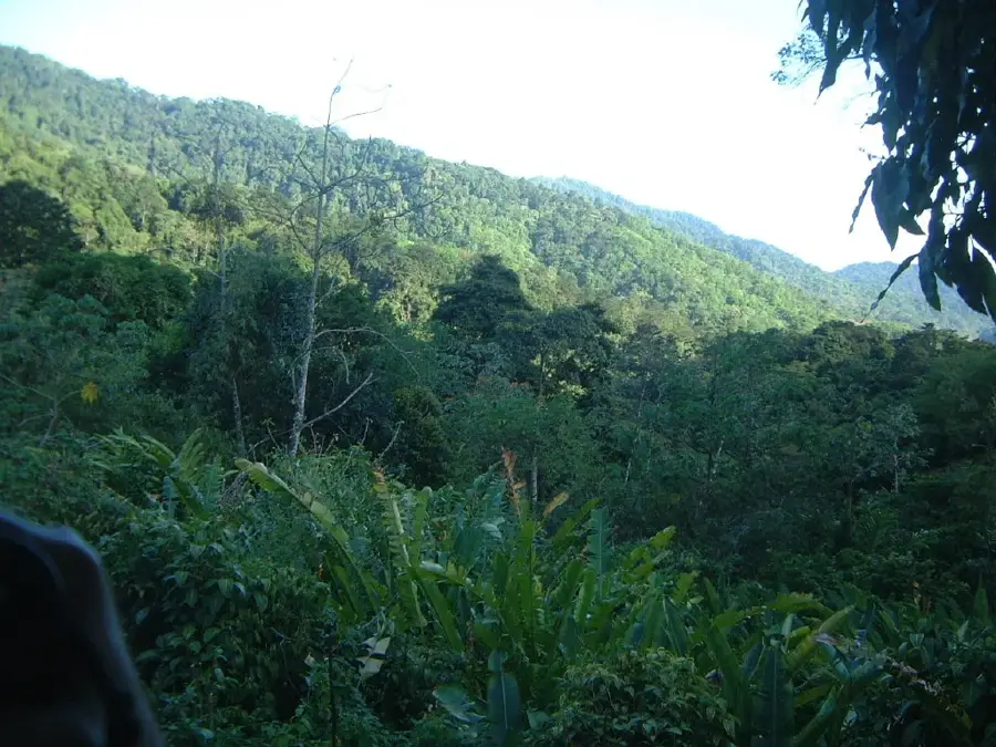
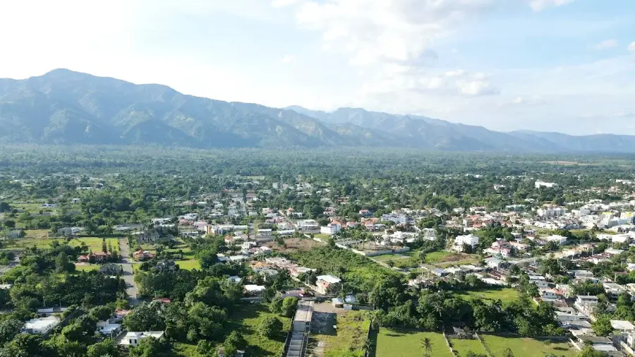
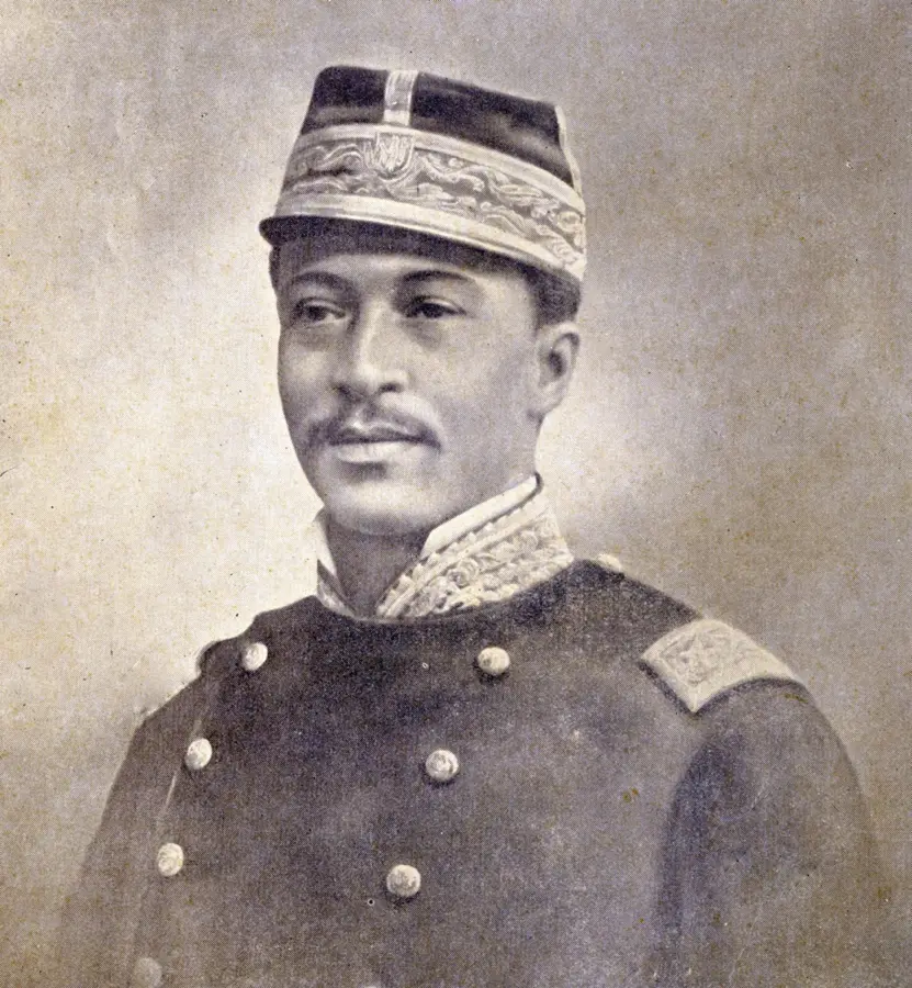
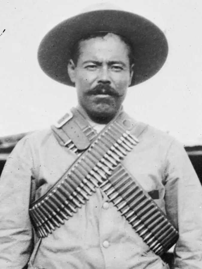
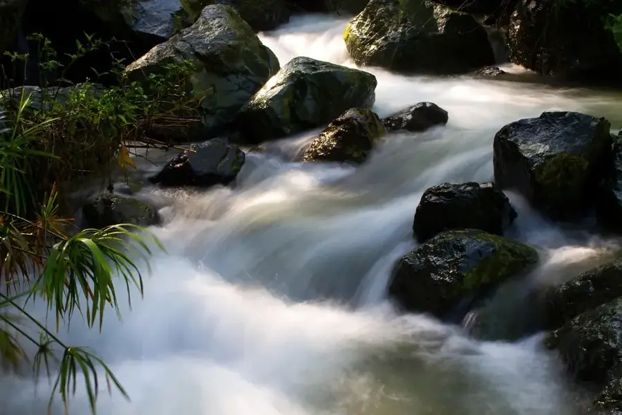
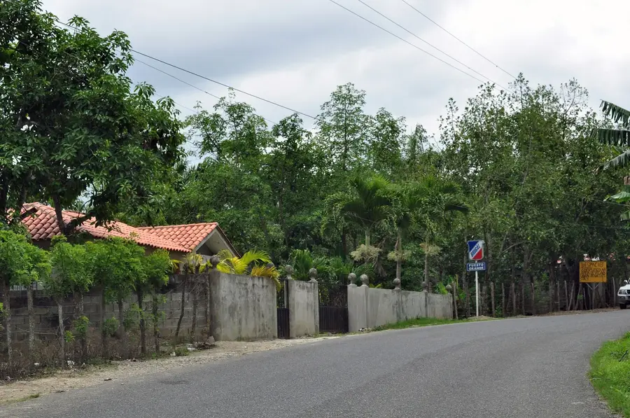
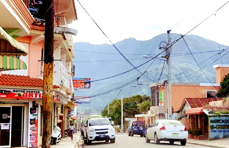
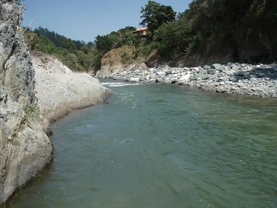
Imbert is a bustling municipality in the Puerto Plata province, strategically located within the fertile valleys of the northern Dominican Republic. The town was named in honor of General José María Imbert, a prominent military leader and hero of the Battle of March 30, 1844, which was pivotal for the nation's independence. Imbert serves as a critical transportation hub on the main highway connecting the touristic northern coast with the industrial center of Santiago de los Caballeros. The region is internationally renowned primarily for the Damajagua Waterfalls, a cascade of 27 natural limestone pools that attract thousands of ecotourists annually for canyoning and hiking adventures. The local economy is deeply rooted in agriculture, with the cultivation of organic cocoa, coffee, and fruits, alongside cattle ranching, being the primary sources of income. Its geography is shaped by the Bajabonico River, whose waterways sustain the lush vegetation of the surrounding hills and ensure agricultural productivity.
- Location: Dominican Republic
- Nearby: Villa González (9 km)
- Population: ~8.024 (2016)
Best time to visit & climate
The most pleasant time to visit is Jan–Mar.
| Jan | Feb | Mar | Apr | May | Jun | Jul | Aug | Sep | Oct | Nov | Dec | |
|---|---|---|---|---|---|---|---|---|---|---|---|---|
| Avg °C | 25 | 25 | 25 | 26 | 27 | 28 | 28 | 28 | 28 | 28 | 27 | 26 |
| Rain mm | 43 | 26 | 37 | 40 | 69 | 44 | 48 | 57 | 68 | 75 | 91 | 47 |
Geography
Facts
- Named after the hero of the Battle of Santiago, José María Imbert
- The main attraction is the '27 Charcos de Damajagua' waterfall system
- Most important transit point on the Puerto Plata - Santiago route
- Significant center for the production of certified organic cocoa
- Traversed by the Bajabonico River, a primary waterway of the region
- Officially established as a municipality in the year 1898
Explore nearby
Notable places around
Route planner — Car & Motorhome
Where do you start? We build the route here, with stops and country notes along the way.
© OpenStreetMap contributors · OpenRouteService
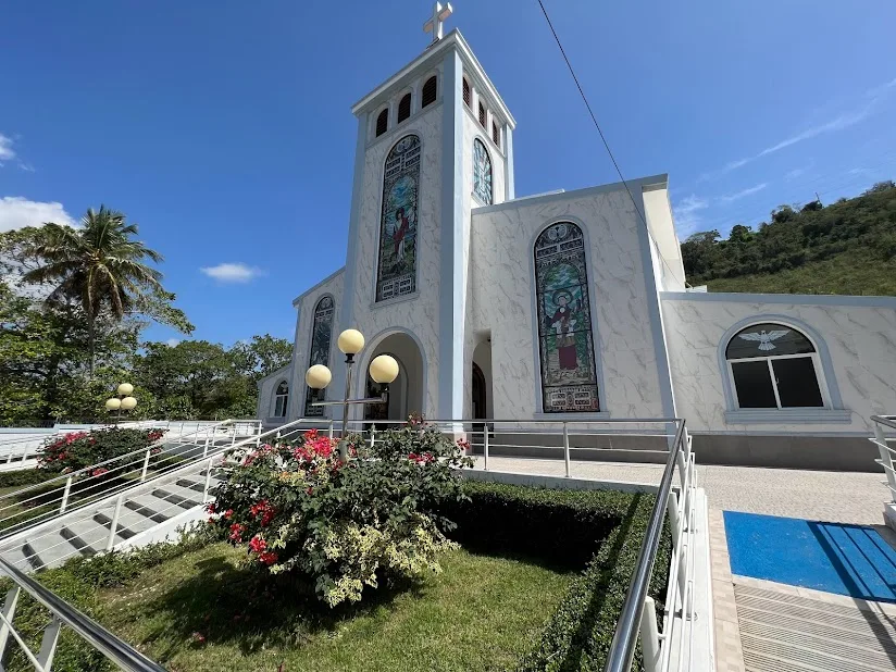
Sights in the town Imbert (1)
Frequently asked questions
What is the most famous attraction near Imbert?
How much time should I plan for the waterfalls?
Do I need to be fit for Saltos de Damajagua?
Are guides mandatory at the waterfalls?
What else is there to see in Imbert besides the waterfalls?
Imbert: where is it located?
Imbert: when is the best time to visit?
Imbert: why is it worth visiting?

Nearby cities
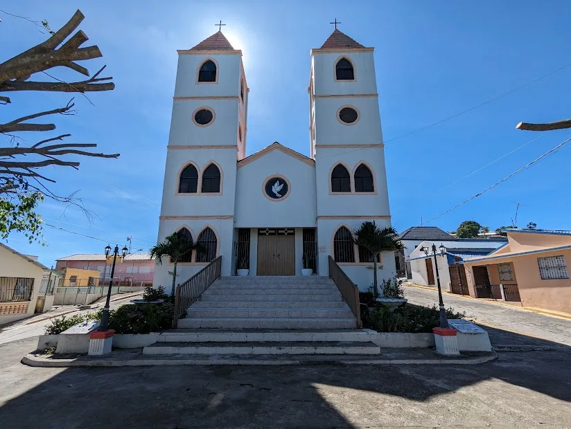


History & landmarks
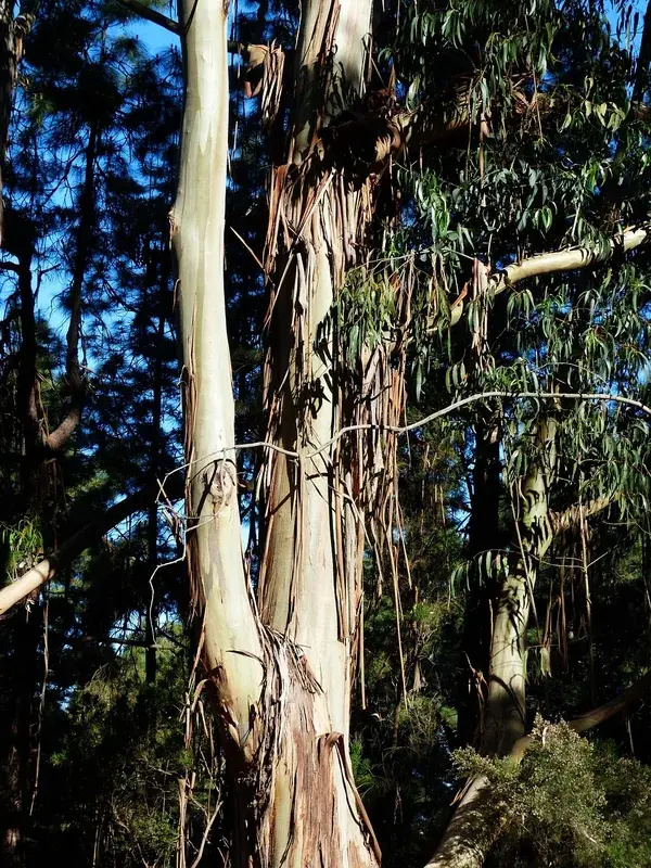
Nature
More places