Plizio Visual Lab
Jarabacoa
ℹ️Practical info — Jarabacoa
▾
🌤 Weather — 5 days
📍 Nearby
Sights nearby
💡 Tips
- Prepare for cooler temperatures, especially at night; a sweater is essential.
- Wear sturdy walking shoes with good grip when visiting the waterfalls.
- Adventure sports are popular; ensure you use certified local agencies.
- Weekend traffic from locals escaping the heat can be heavy; visit waterfalls on weekdays if possible.
- Always check the weather forecast before river rafting, as water levels can rise quickly.
🍽 Food
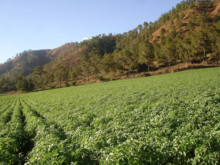
Buy from vendors near the agricultural areas.
Excellent at mountain-view restaurants on the edge of town.
Served at cafes around the central park.
🛍 Shopping · 🧘 Quiet spots
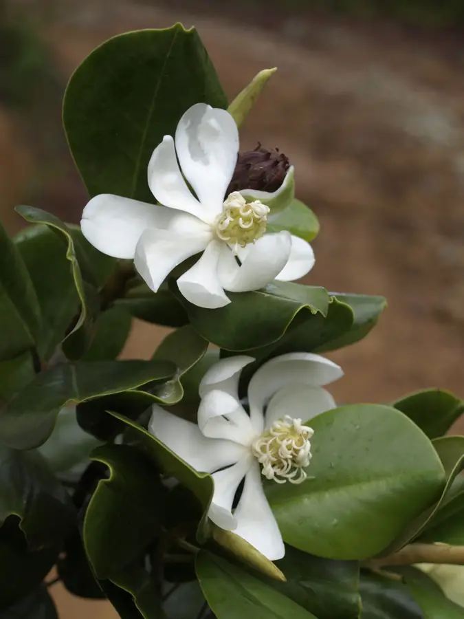
Available at roadside nurseries.
Sold at tourist shops in the town center.
The weekend farmer's market features great local vegetables.
Peaceful on weekday mornings.
A very tranquil monastery outside town.
Great for a silent, meditative hike.
Water temperature…
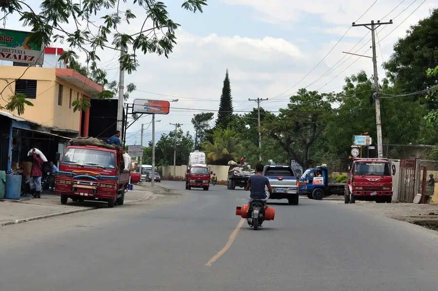
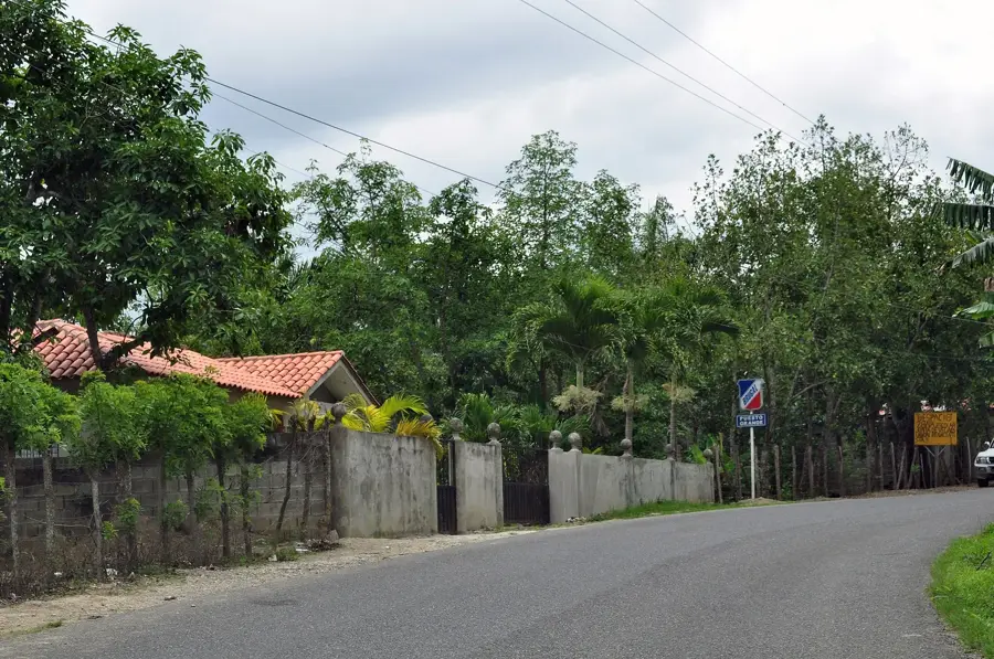
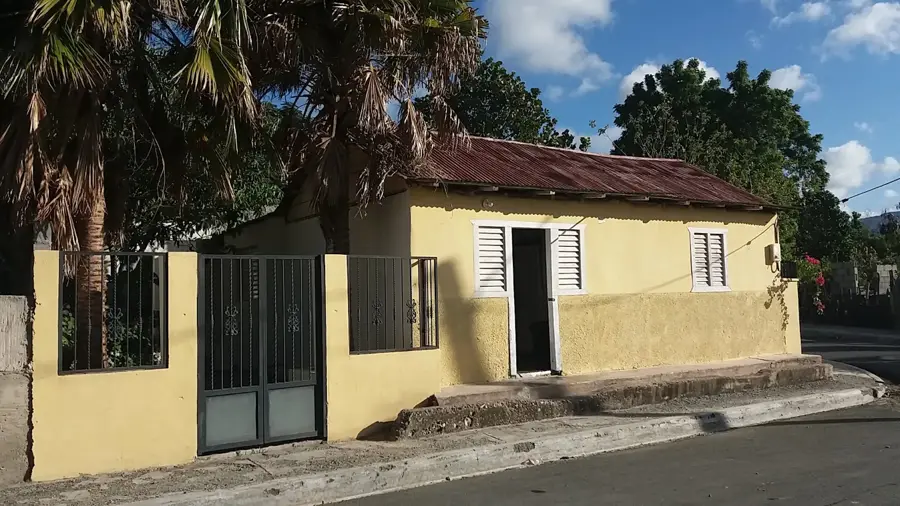
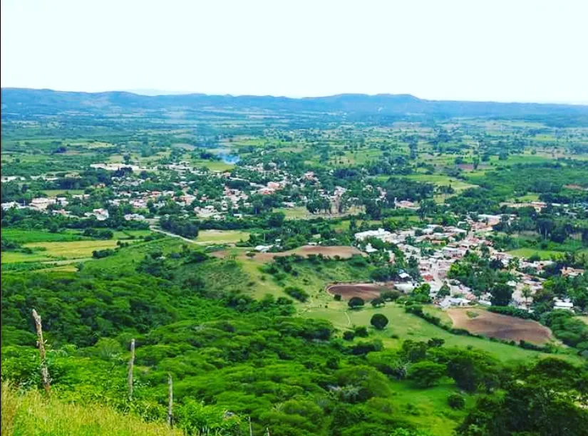
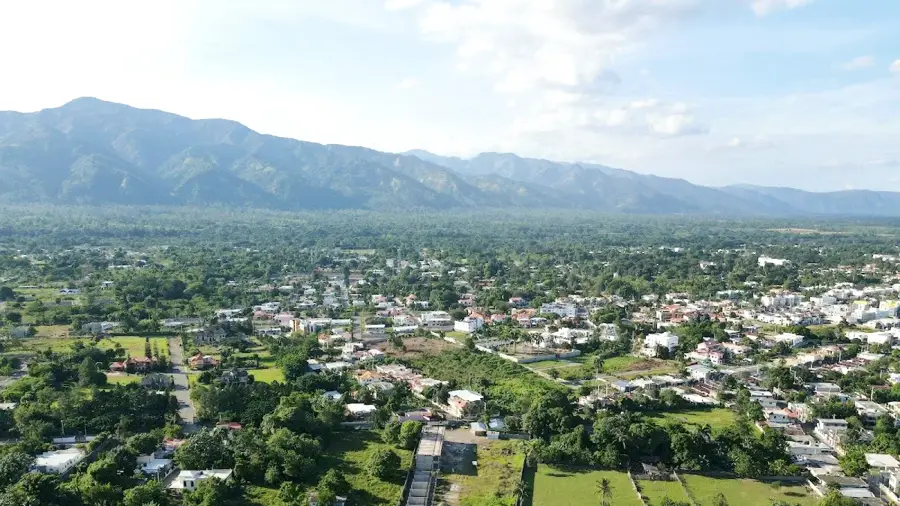
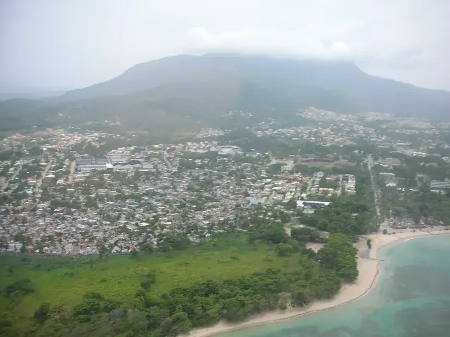
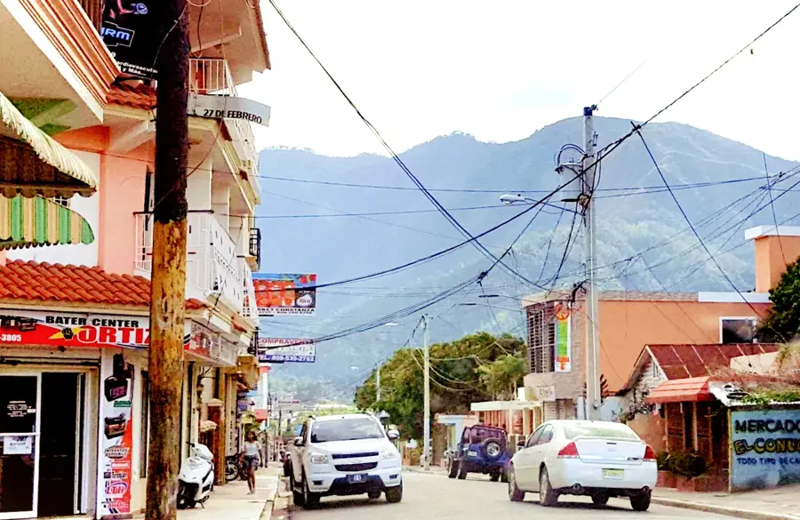
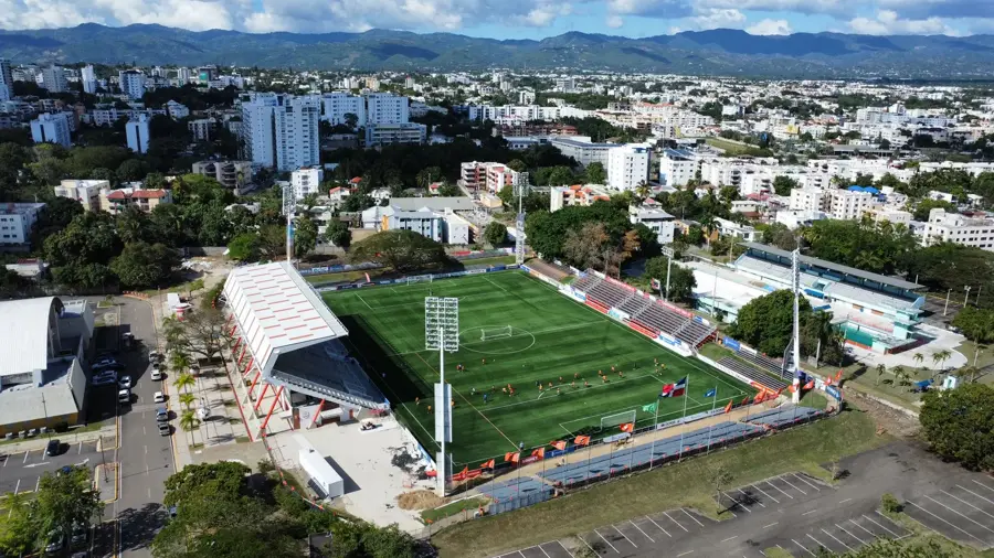
Jarabacoa is a premier mountain tourism destination located in the La Vega province, positioned deep within the Cordillera Central range. Renowned as the "City of Everlasting Spring," it sits at an elevation of approximately 529 meters, enjoying a year-round mild climate that provides a refreshing escape from the tropical heat of the coastal lowlands. Jarabacoa is a world-class hub for eco-tourism and adventure sports, including river rafting on the Yaque del Norte, paragliding, and trekking. It serves as the primary gateway for expeditions to Pico Duarte, the Caribbean’s highest peak. Beyond tourism, the local economy thrives on specialized agriculture, specifically strawberries, premium coffee, and ornamental flowers, which flourish in the cooler upland air. Officially established as a municipality in 1858, Jarabacoa has evolved from a remote mountain hamlet into a sophisticated retreat for international travelers and residents. The local architecture features a blend of rustic wooden chalets and modern villas that sit seamlessly within the lush pine-forested slopes.
- Location: Dominican Republic
- Nearby: Baitoa (10 km)
- Population: ~29.983 (2016)
Best time to visit & climate
The most pleasant time to visit is Feb–Apr.
| Jan | Feb | Mar | Apr | May | Jun | Jul | Aug | Sep | Oct | Nov | Dec | |
|---|---|---|---|---|---|---|---|---|---|---|---|---|
| Avg °C | 19 | 20 | 21 | 22 | 22 | 23 | 23 | 23 | 23 | 23 | 21 | 20 |
| Rain mm | 34 | 24 | 29 | 41 | 62 | 38 | 47 | 56 | 53 | 56 | 69 | 49 |
Geography
Facts
- Jarabacoa is situated at an elevation of 529 meters in the mountains.
- The name comes from the Taino language, meaning 'land of many waters.'
- The Yaque del Norte, the nation's longest river, flows through the city.
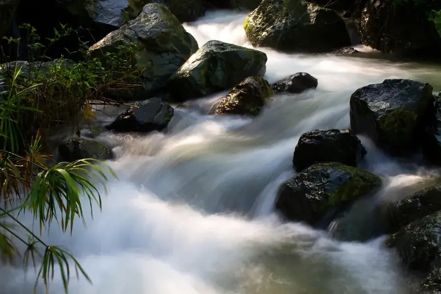
- The spectacular Jimenoa and Baiguate waterfalls are located nearby.
- Jarabacoa is the primary staging point for trekking Pico Duarte peak.
- The city hosts a popular annual Flower Festival every June.
Explore nearby
Notable places around
Route planner — Car & Motorhome
Where do you start? We build the route here, with stops and country notes along the way.
© OpenStreetMap contributors · OpenRouteService
Frequently asked questions
Why is it called the 'Alps of the Caribbean'?
What waterfalls are there?
Is Jarabacoa good for adventure sports?
Do I need warm clothes?
Can you climb Pico Duarte?
Jarabacoa: where is it located?
Jarabacoa: when is the best time to visit?
Jarabacoa: why is it worth visiting?

Nearby cities
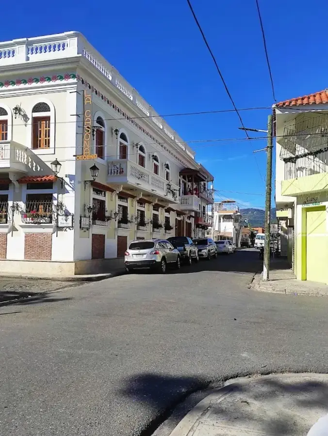
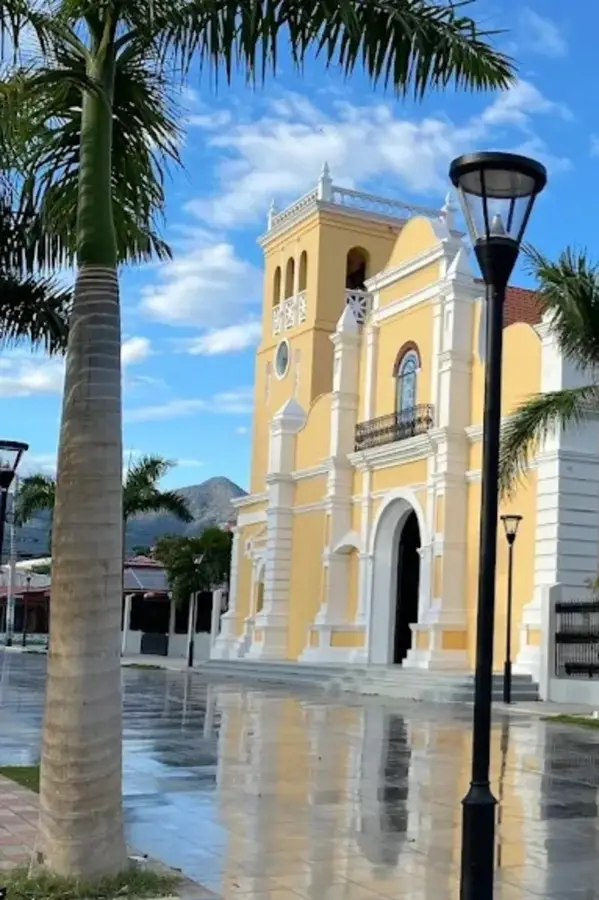
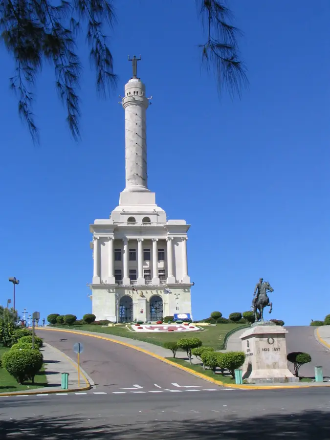
History & landmarks
Nature
More places