Plizio Visual Lab
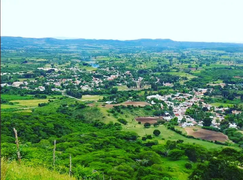
Armando Bermúdez National Park

Weather…
Water temperature…
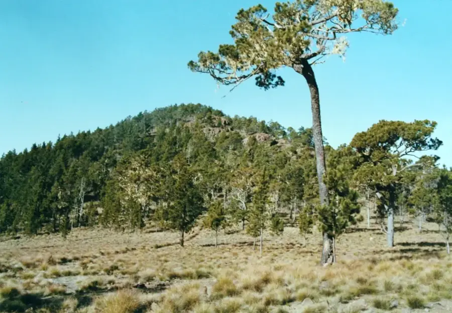
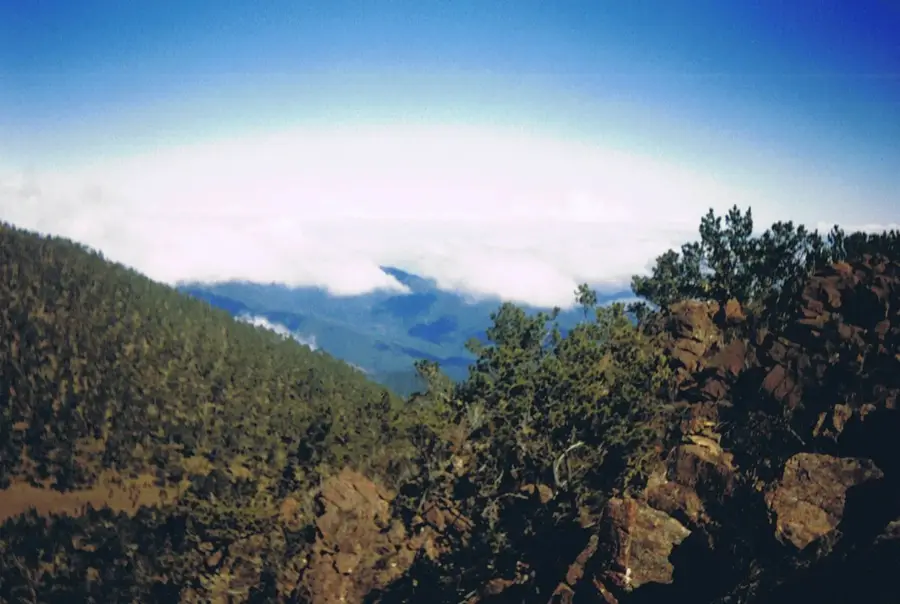
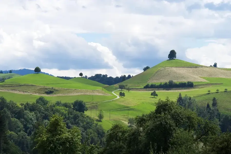
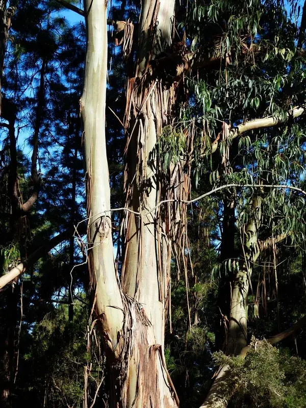
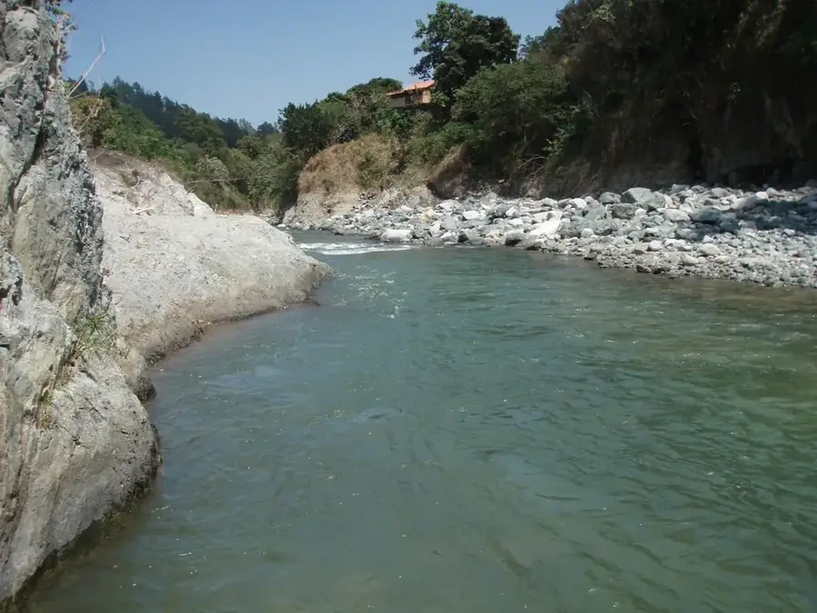
Armando Bermúdez National Park spans the northern flank of the Cordillera Central and is one of the oldest protected areas in the Dominican Republic, established on February 19, 1956. Covering 766 square kilometers, it contains, along with the adjacent José del Carmen Ramírez National Park, the highest peaks in the Antilles, including Pico Duarte (3,087 m). The vegetation is characterized by dense stands of Hispaniolan pine (Pinus occidentalis), which dominate at elevations above 2,000 meters. Geographically, the park is the country's most vital water tower, hosting the headwaters of the Yaque del Norte, Amina, and Bao rivers, which sustain agricultural production in the Cibao Valley. The fauna includes endemic birds such as the Hispaniolan parrot and various wood-warblers. The climate within the park ranges from temperate to alpine, with temperatures regularly dropping below freezing during winter months. Access is typically through the towns of Jarabacoa or San José de las Matas.
- Location: Dominican Republic
- Nearby: Mao (17 km)
Best time to visit & climate
The most pleasant time to visit is Jan–Mar.
| Jan | Feb | Mar | Apr | May | Jun | Jul | Aug | Sep | Oct | Nov | Dec | |
|---|---|---|---|---|---|---|---|---|---|---|---|---|
| Avg °C | 20 | 21 | 22 | 23 | 23 | 24 | 25 | 25 | 24 | 23 | 22 | 21 |
| Rain mm | 27 | 20 | 28 | 38 | 56 | 35 | 36 | 52 | 44 | 56 | 63 | 37 |
📋 Practical info
Geography
Facts
- Established on February 19, 1956, making it a pioneer park.
- The total protected area covers 766 square kilometers.
- Contains Pico Duarte, the Caribbean's highest peak at 3,087 m.
- Source of the Yaque del Norte, Amina, and Bao rivers.
- Dense Hispaniolan pine forests dominate higher elevations.
- Winter temperatures often drop to -8 °C (17 °F).
- Key region for the endemic Hispaniolan crossbill bird.
Explore nearby
Notable places around
Route planner — Car & Motorhome
Where do you start? We build the route here, with stops and country notes along the way.
© OpenStreetMap contributors · OpenRouteService
Sights nearby
Frequently asked questions
What is special about this national park?
Do you need a guide?
How is the climate there?
What should you pack for the hike?
When is the best time to visit?
Armando Bermúdez National Park: where is it located?
Armando Bermúdez National Park: when is the best time to visit?
Armando Bermúdez National Park: why is it worth visiting?

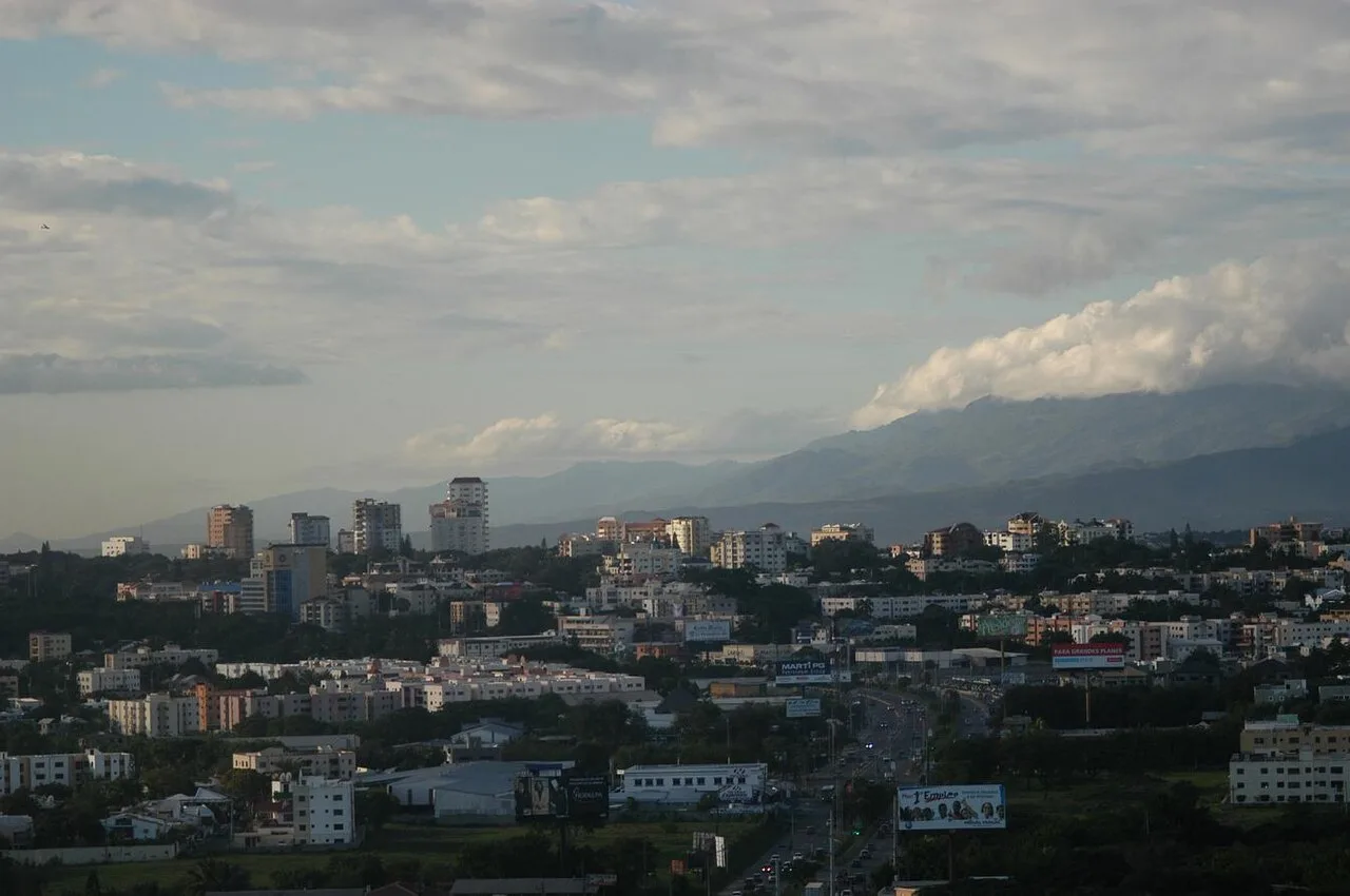
Nearby cities


History & landmarks
Nature
More places