Plizio Visual Lab
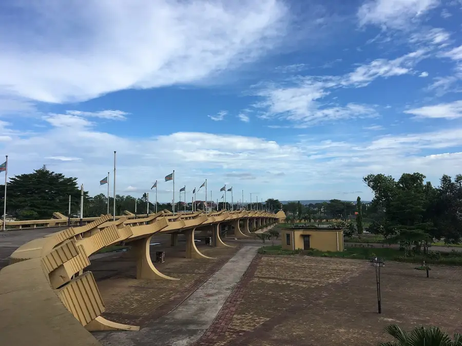
Batéké Plateau
Weather…
Water temperature…
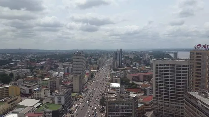
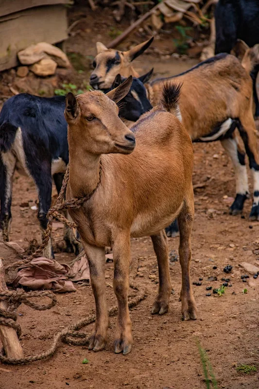
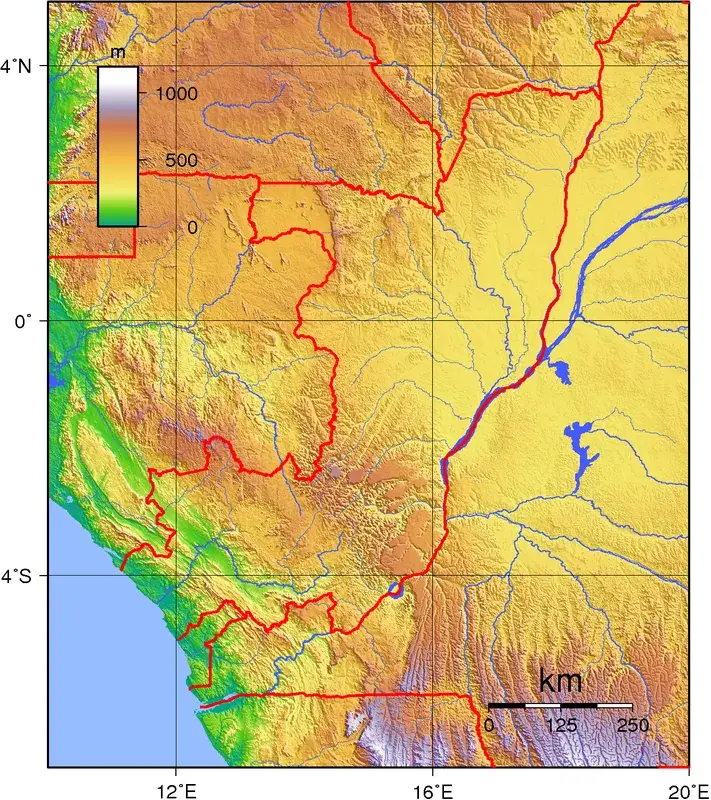
The Batéké Plateau is a large sandstone plateau that stretches across the Republic of the Congo, Gabon, and the Democratic Republic of Congo. In the DRC, it lies west of Kinshasa, shaping the landscape of the Mai-Ndombe province. The plateau reaches elevations of up to 800 meters and is characterized by its sandy soils and a unique landscape of savannas dissected by deep, forested valleys. Geologically, the plateau is part of the Batéké Basin, a sedimentary formation from the Tertiary period. The porous sandstone soils cause rainwater to drain quickly, forming subterranean rivers, which results in a relatively dry surface. This area is the source of several rivers, including the Nsele River, which is crucial for the water supply of Kinshasa. The plateau is the homeland of the Téké people (or Bateke), from whom it gets its name. They traditionally subsist on agriculture, hunting, and fishing. More recently, the DRC government has advanced plans to develop large agro-industrial parks on the plateau, raising concerns about environmental impacts and the land rights of local communities. A portion of the plateau on the Gabonese side is protected by the Batéké Plateau National Park, famous for its reintroduced lion population.
- Location: Congo - Kinshasa
- Nearby: Maluku (7 km)
Best time to visit & climate
The most pleasant time to visit is Jun–Aug.
| Jan | Feb | Mar | Apr | May | Jun | Jul | Aug | Sep | Oct | Nov | Dec | |
|---|---|---|---|---|---|---|---|---|---|---|---|---|
| Avg °C | 25 | 25 | 25 | 25 | 25 | 24 | 24 | 25 | 26 | 25 | 24 | 24 |
| Rain mm | 166 | 170 | 217 | 215 | 127 | 16 | 5 | 25 | 82 | 189 | 261 | 227 |
📋 Practical info
Geography
Facts
- Stretches across DRC, Republic of the Congo, and Gabon.
- Composed mainly of sandstone from the Tertiary period.
- Reaches elevations of up to 800 meters.
- Characterized by savannas dissected by deep valleys.
- The homeland of the Téké people (Bateke).
- The Nsele River, important for Kinshasa, originates here.
Explore nearby
Notable places around
Route planner — Car & Motorhome
Where do you start? We build the route here, with stops and country notes along the way.
© OpenStreetMap contributors · OpenRouteService
Sights nearby
Frequently asked questions
What is the Batéké Plateau?
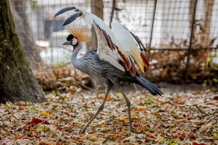
Can animals be seen there?
What is the climate like on the plateau?
How to reach the plateau?
Are there viewpoints?
Batéké Plateau: where is it located?
Batéké Plateau: when is the best time to visit?
Batéké Plateau: why is it worth visiting?

Nearby cities

History & landmarks
More places