Plizio Visual Lab
Kenge
ℹ️Practical info — Kenge
▾
🌤 Weather — 5 days
📍 Nearby
Sights nearby
💡 Tips
- As a major transit hub on the RN1, the town is bustling; mornings are best to catch transport towards Kikwit or Kinshasa.
- The nearby Wamba River is a significant local landmark; ask locals for the best spots to view it safely.
- Mobile money (M-Pesa, Airtel Money) works reasonably well here compared to more remote towns.
- If driving, Kenge is a crucial stop to refuel and check your vehicle before continuing the long journey.
- The town has a strong agricultural market presence, especially on weekends when farmers come to trade.
🍽 Food
A staple dish across the region, heavily featured in local eateries, cooked with palm oil.
A highly prized local delicacy rich in protein, often served fried or in a spicy tomato sauce.
Freshly caught fish from the Wamba River, best enjoyed grilled at a roadside local restaurant (Malewa).
🛍 Shopping · 🧘 Quiet spots
A bustling hub where you can find everything from fresh local produce to colorful Congolese fabrics (Pagne).
Purchase large quantities of peanuts, cassava, and maize directly from the traders passing through.
Stroll down to the peaceful edges of the Wamba River to escape the noise of the main highway.
The historical mission areas in town offer a serene environment with old trees and quiet pathways.
Water temperature…
Kenge is the capital city of the Kwango Province in the western part of the Democratic Republic of the Congo. Situated at the crossroads of major regional trade routes, specifically on the National Highway 1, it serves as a critical link between the massive Kinshasa market and the agricultural heartlands of the interior. The city is positioned near the Wamba River, which provides essential water resources for both domestic use and small-scale irrigation. Historically, Kenge gained prominence as a colonial administrative post and later evolved into a provincial hub following the decentralization reforms in the DRC. The population is predominantly composed of the Yaka people, whose sophisticated social structures and artistic traditions, including intricate carvings and masks, are well-documented by ethnographers. Economically, Kenge is an agrarian society where the production of cassava, millet, and peanuts forms the backbone of the local livelihood. The city's market is a lively center of activity, attracting traders from neighboring villages who bring their harvests to be transported to the capital. Educationally, Kenge hosts several institutions, including teacher training colleges and secondary schools, making it an intellectual center for the Kwango region. The urban layout reflects its history, with a central administrative district surrounded by expanding residential neighborhoods. Despite facing infrastructure challenges common in the region, such as limited paved roads and intermittent power supply, the city continues to grow as a vital service center. The surrounding environment consists of a mosaic of savanna and tropical woodlands, supporting a variety of local flora and fauna. Kenge’s role as a provincial capital ensures its importance in the governance and development of the Kwango area, acting as a gateway for government services and international aid projects directed at improving rural health and education.
Best time to visit & climate
The most pleasant time to visit is Jun–Aug.
| Jan | Feb | Mar | Apr | May | Jun | Jul | Aug | Sep | Oct | Nov | Dec | |
|---|---|---|---|---|---|---|---|---|---|---|---|---|
| Avg °C | 25 | 25 | 25 | 25 | 25 | 25 | 26 | 27 | 26 | 25 | 24 | 24 |
| Rain mm | 136 | 134 | 177 | 167 | 93 | 15 | 7 | 25 | 83 | 161 | 200 | 174 |
Geography
Facts
- Kenge is the provincial capital of Kwango Province.
- It is located approximately 270 kilometers east of Kinshasa.
- The city sits at an elevation of about 550 meters (1,800 feet).
- It is situated on the banks of the Wamba River.
- National Road 1 (RN1) is the primary transport artery through Kenge.
- The Yaka ethnic group is the predominant population in the area.
- The city is a major collection point for agricultural goods.
- Kenge is the seat of the Roman Catholic Diocese of Kenge.
Explore nearby
Notable places around
Route planner — Car & Motorhome
Where do you start? We build the route here, with stops and country notes along the way.
© OpenStreetMap contributors · OpenRouteService
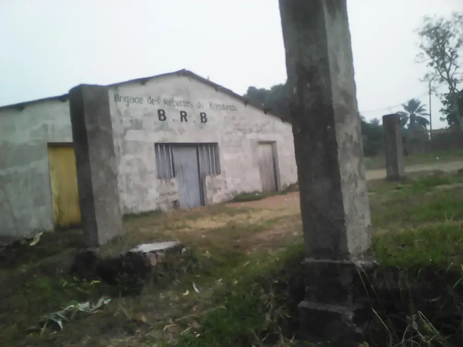
Sights in the town Kenge (1)
Frequently asked questions
Where is Kenge located?
What is the climate like in Kenge?
Can Kenge be reached by road?
What is the main economic driver?
Which languages are spoken?
Kenge: where is it located?
Kenge: when is the best time to visit?
Kenge: why is it worth visiting?
