Plizio Visual Lab
Tshilenge
ℹ️Practical info — Tshilenge
▾
🌤 Weather — 5 days
📍 Nearby
Sights nearby
💡 Tips
- Tshilenge is relatively quiet compared to neighboring Mbuji-Mayi; it’s best visited as a day trip to see rural administration in action.
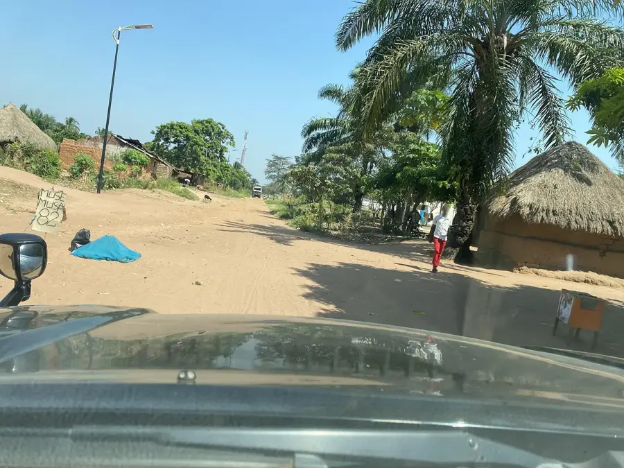
- Roads connecting to Mbuji-Mayi are mostly unpaved; expect dusty conditions and bumpy rides.
- ATMs are practically non-existent; withdraw all the cash you need in Mbuji-Mayi before arriving.
- French is the administrative language, but knowing a few greetings in Tshiluba goes a long way with locals.
🍽 Food
In the Kasai region, the local fufu is often a mix of cassava and cornmeal, giving it a distinct yellow color and heavier texture.
A nutritious local dish made from amaranth leaves, widely prepared in local households and small food stalls.
Often prepared for special occasions or market days; look for the smoke near the town center to find the best cuts.
🛍 Shopping · 🧘 Quiet spots
Small stalls cluster around the local government buildings selling documents, stamps, and basic stationery.
A good place to see the region's agricultural output, focusing mostly on root crops and locally grown grains.
Walking just a few minutes from the center reveals quiet farmland and open fields typical of the Kasai plateau.
Many neighborhoods have large shade trees where locals sit quietly in the afternoons; it’s a great place to observe daily life peacefully.
Water temperature…
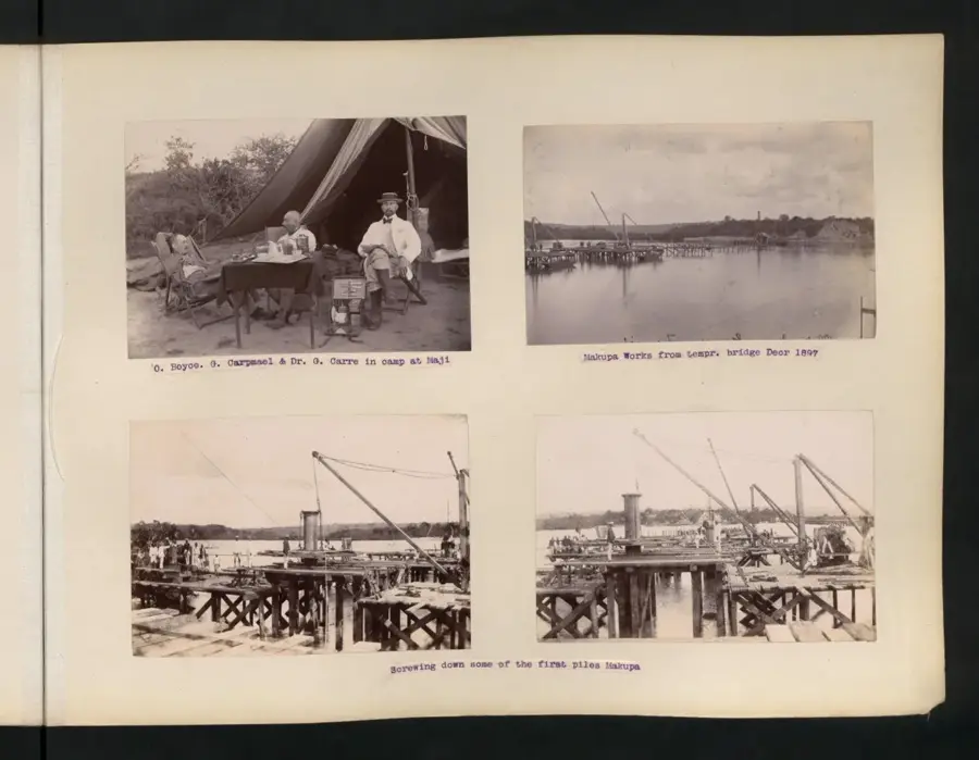
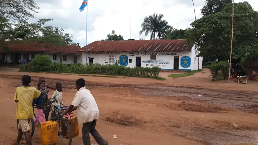
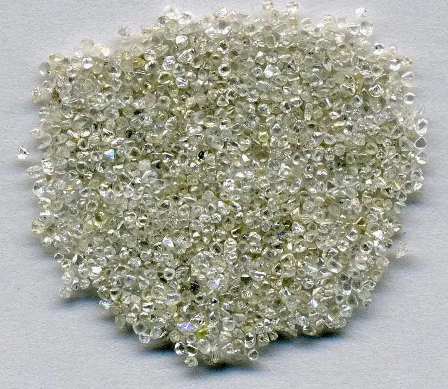
Tshilenge is a significant town and the administrative headquarters of the territory of the same name within the Kasaï-Oriental province of the Democratic Republic of the Congo. Located approximately 30 kilometers east of the provincial capital, Mbuji-Mayi, the town serves as a key satellite community within the broader Kasai diamond belt. Historically, Tshilenge has been integral to the regional administrative structure and the early development of mining infrastructure in central Congo. The local economy is heavily defined by artisanal and informal mining activities, with residents frequently searching for alluvial diamonds in nearby riverbeds. Geographically, the town is situated in a hilly savanna landscape characterized by intensive subsistence farming. Tshilenge also functions as a regional marketplace for agricultural staples such as maize and cassava, which are vital for supplying the nearby urban center of Mbuji-Mayi. Despite its economic links to the regional capital, the town's infrastructure remains basic, consisting primarily of unpaved road networks.
- Location: Congo - Kinshasa
- Nearby: Katanda (24 km)
Best time to visit & climate
The most pleasant time to visit is May–Jul.
| Jan | Feb | Mar | Apr | May | Jun | Jul | Aug | Sep | Oct | Nov | Dec | |
|---|---|---|---|---|---|---|---|---|---|---|---|---|
| Avg °C | 25 | 26 | 26 | 25 | 26 | 26 | 26 | 28 | 27 | 26 | 25 | 25 |
| Rain mm | 136 | 144 | 146 | 110 | 34 | 8 | 4 | 45 | 105 | 136 | 162 | 155 |
Geography
Facts
- Tshilenge is located roughly 30 kilometers east of Mbuji-Mayi.
- It serves as the administrative seat of the Tshilenge Territory.
- The region is geologically part of the Central African diamond belt.
- Artisanal diamond mining is a primary source of local income.
- Maize and cassava are the dominant agricultural products in the area.
- The town sits at an elevation of approximately 650 meters above sea level.
Explore nearby
Notable places around
Route planner — Car & Motorhome
Where do you start? We build the route here, with stops and country notes along the way.
© OpenStreetMap contributors · OpenRouteService
Frequently asked questions
Where is Tshilenge located?
What is the economic basis of Tshilenge?
What is the infrastructure like?
Are there markets in Tshilenge?
What is the main mode of transport?
Tshilenge: where is it located?
Tshilenge: when is the best time to visit?
Tshilenge: why is it worth visiting?

Nearby cities