Plizio Visual Lab
Djugu
ℹ️Practical info — Djugu
▾
🌤 Weather — 5 days
📍 Nearby
Sights nearby
💡 Tips
- The hilly landscape means mornings and evenings can be quite cool; bring layered clothing.
- Always check the current security situation locally before embarking on travels around Ituri province.
- Dirt roads in the hills become extremely slippery and often impassable after heavy rain.
- Hiring a local guide is highly recommended if you plan to hike the surrounding hills.
🍽 Food
A hearty cassava leaf stew often served with beans, found in local eateries.
A regional favorite, available from vendors near the central market.
Widely grown in the Ituri hills, enjoy them boiled or roasted at street stalls.
🛍 Shopping · 🧘 Quiet spots
The bustling hub for agricultural produce from the surrounding hills.
Look for brightly colored wax print fabrics sold by independent merchants.
Take a short walk up from the town center for panoramic views of the green valleys.
Walk along the quiet farming terraces at the edge of town.
Water temperature…
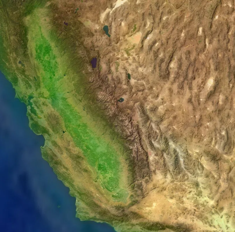
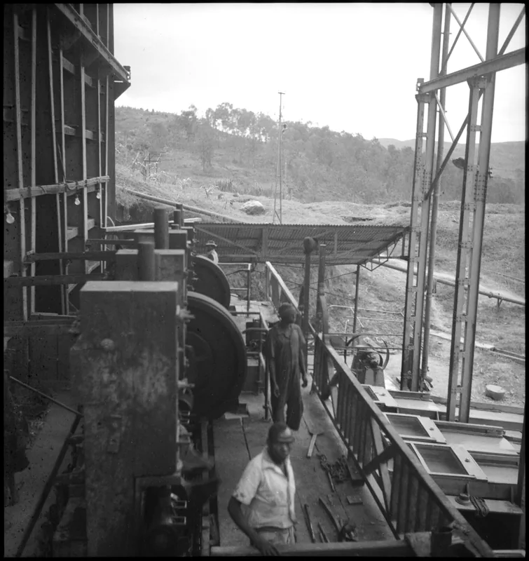
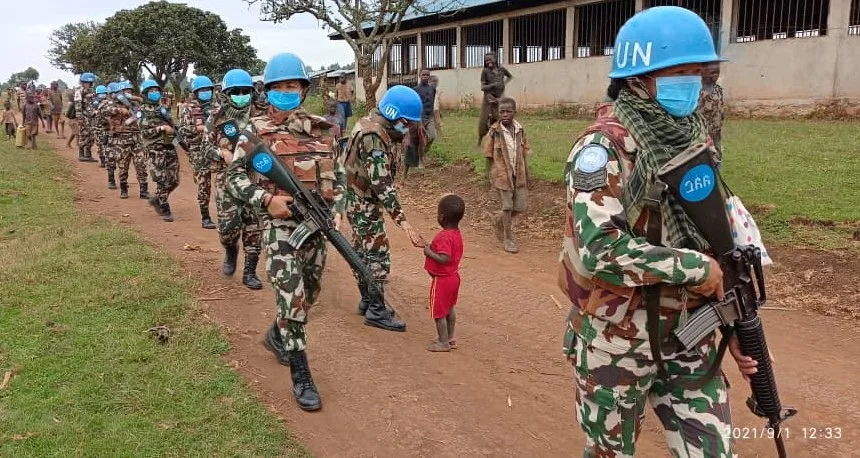
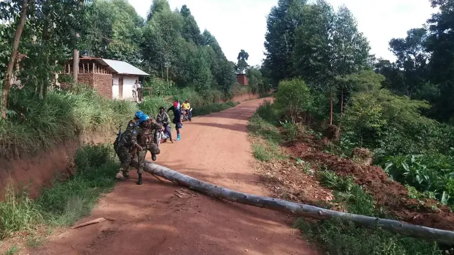
Djugu is a small town located in the highlands of the Ituri Province in northeastern Democratic Republic of the Congo. The town is situated within a geographically scenic zone characterized by rolling hills, deep valleys, and proximity to Lake Albert. Djugu serves as the administrative center for its namesake territory, a region historically known for its wealth of mineral resources, particularly gold. The highland climate is cooler than that of the Congo Basin, facilitating the cultivation of cereals and livestock farming. The town and its surroundings have been the site of severe ethnic conflicts in recent decades, resulting in massive displacement and destruction. Despite these tragedies, Djugu remains a culturally significant location for the Hema and Lendu communities. The region's economic importance rests on artisanal mining alongside small-scale agriculture. Restoring peace and infrastructure is critical to unlocking the potential of this resource-rich and scenically diverse area in eastern Congo.
- Location: Congo - Kinshasa
- Nearby: Mahagi (65 km)
- Population: ~41.409 (2023)
Best time to visit & climate
The most pleasant time to visit is Jan, Feb, Dec.
| Jan | Feb | Mar | Apr | May | Jun | Jul | Aug | Sep | Oct | Nov | Dec | |
|---|---|---|---|---|---|---|---|---|---|---|---|---|
| Avg °C | 21 | 22 | 22 | 21 | 20 | 20 | 20 | 20 | 20 | 20 | 20 | 20 |
| Rain mm | 34 | 50 | 136 | 127 | 126 | 103 | 114 | 141 | 170 | 184 | 132 | 63 |
Geography
Facts
- Located in the highlands west of Lake Albert
- Administrative center of the Djugu Territory
- The region is known for artisanal gold mining operations
- Traditional home of the Hema and Lendu ethnic groups
- Elevation of approximately 1,500 meters above sea level
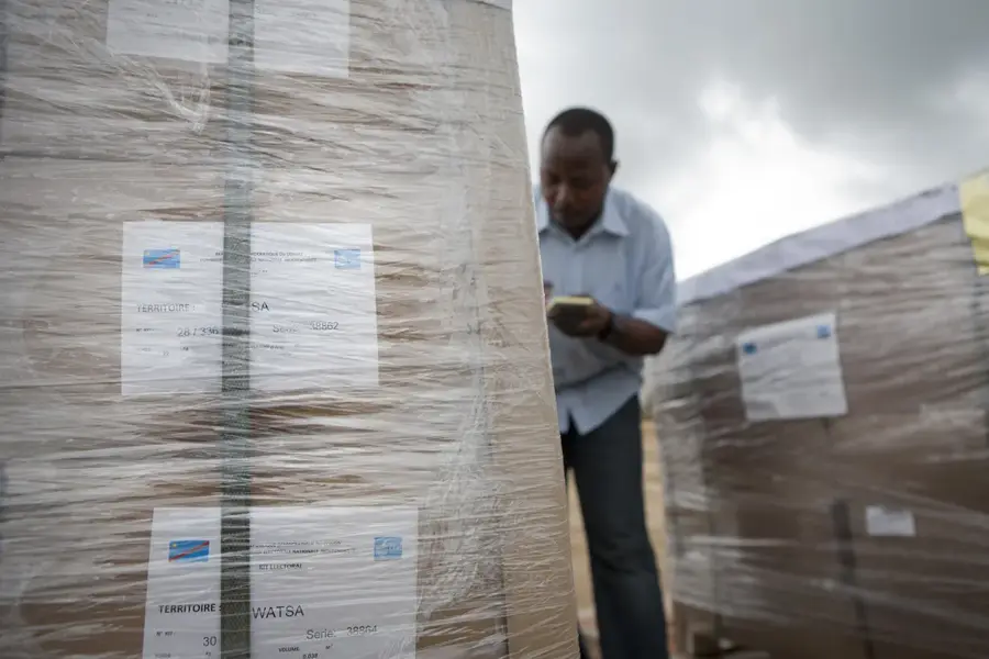
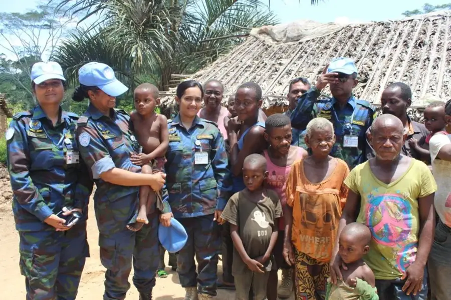
- Key site for humanitarian aid delivery in the Ituri region
Explore nearby
Notable places around
Route planner — Car & Motorhome
Where do you start? We build the route here, with stops and country notes along the way.
© OpenStreetMap contributors · OpenRouteService
Sights in the town Djugu (1)
Frequently asked questions
Where is Djugu located?
What is the economic basis of Djugu?
What is the topography of the region like?
Is Djugu safe for tourists?
What products are grown in Djugu?
Djugu: where is it located?
Djugu: when is the best time to visit?
Djugu: why is it worth visiting?

Nearby cities
Nature

More places