Plizio Visual Lab
Likasi
ℹ️Practical info — Likasi
▾
🌤 Weather — 5 days
📍 Nearby
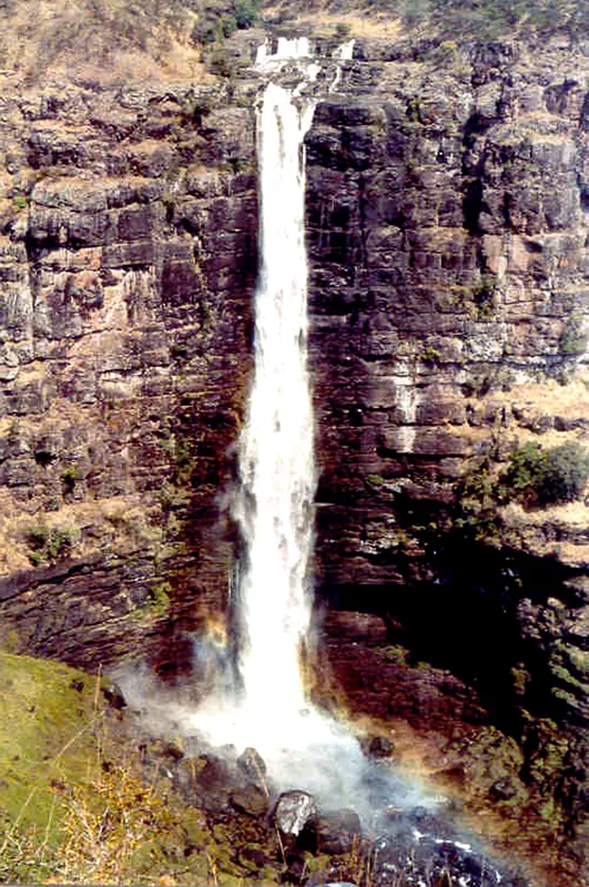
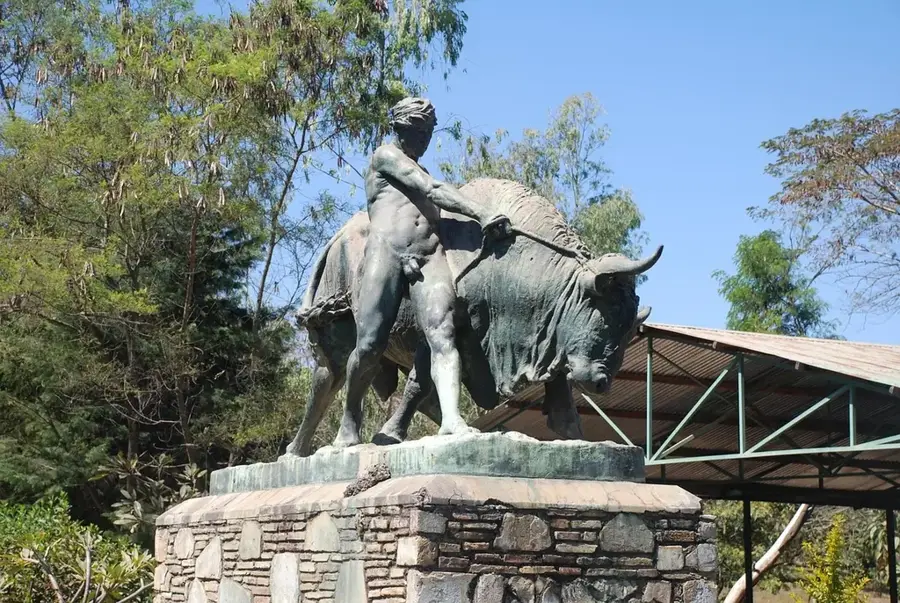
Sights nearby
💡 Tips
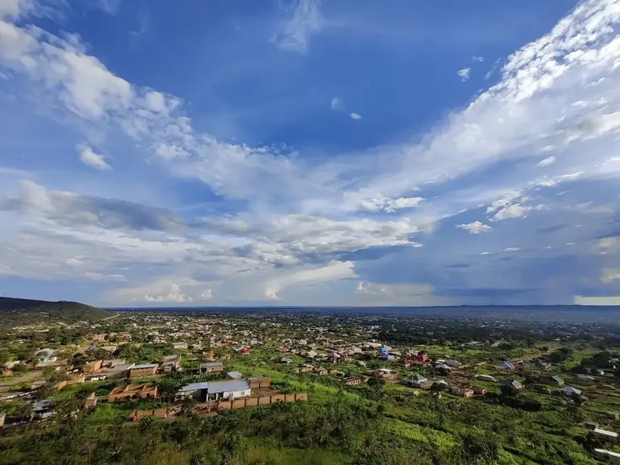
- Known as 'Ville de Beauté' (City of Beauty) for its hilly terrain; comfortable walking shoes are recommended.
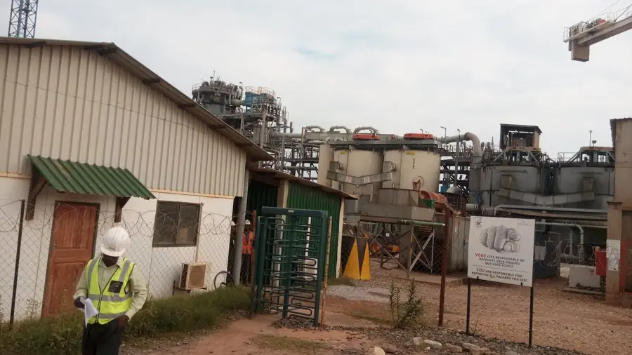
- It's an industrial hub, so expect busy roads with heavy trucks during weekdays.
- The local climate is somewhat cooler than the rest of the country due to the elevation.
- Taxis are plentiful but agree on the fare before starting your journey.
🍽 Food
Beans stew, a hearty meal found in local diners.
Popular street food, especially in the evenings.
The local staple to accompany stews.
🛍 Shopping · 🧘 Quiet spots
Great for everything from fresh food to clothing.
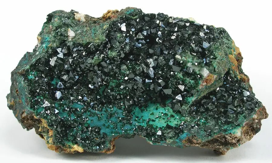
Look for beautifully carved green stones from the region.
Take a walk up for a panoramic view of the city and factories.
Look for small green squares in the city center for a quick rest.
Water temperature…
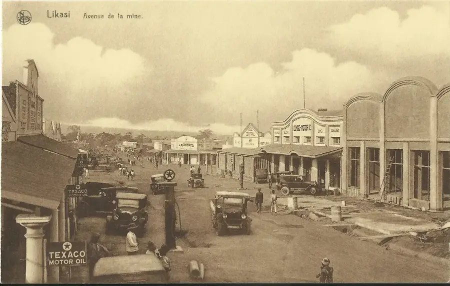
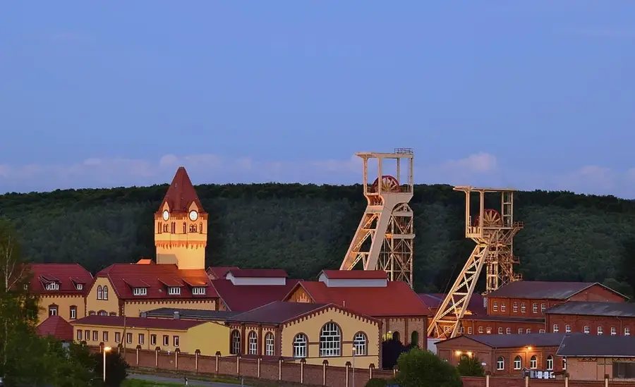
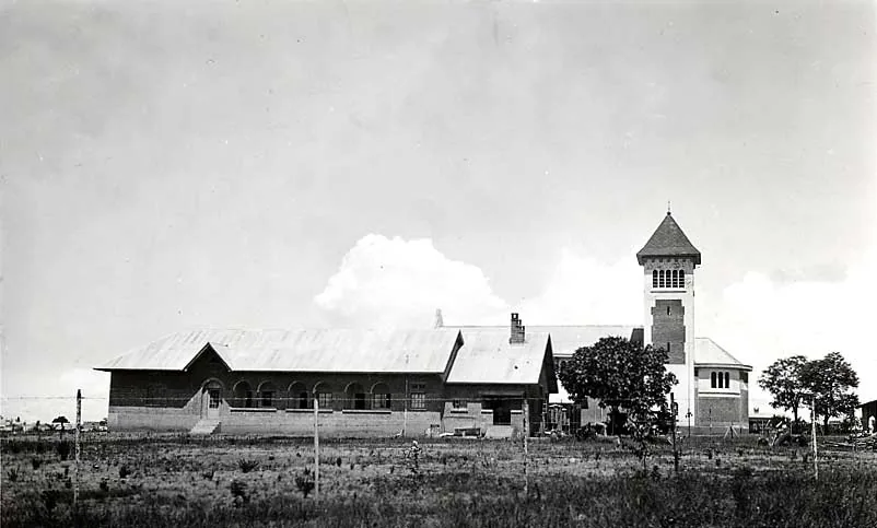
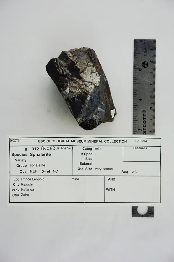
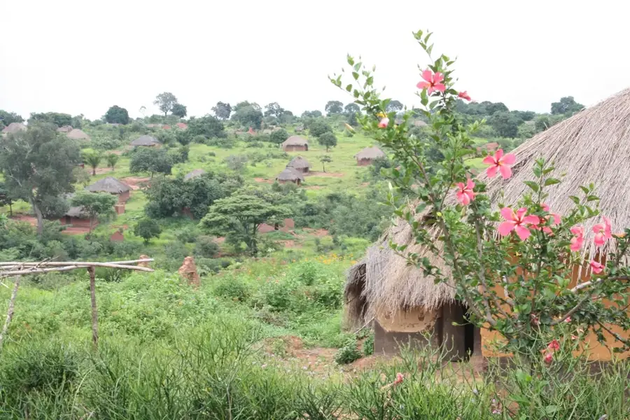
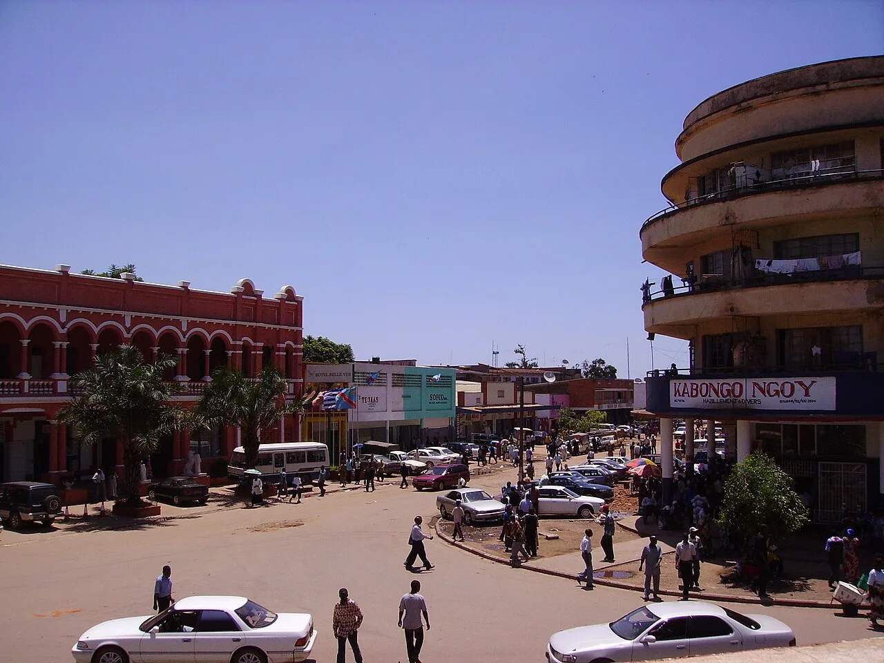
Likasi, formerly known as Jadotville, is a significant mining city in the heart of the Haut-Katanga province. The town was established in the early 20th century to exploit the region's vast copper and cobalt deposits. Situated on a high plateau at an altitude of approximately 1,300 meters, Likasi enjoys a temperate and healthy climate. Historically, the city gained international prominence in 1961 during the Congo Crisis due to the Siege of Jadotville, where a UN peacekeeping contingent bravely held out against superior secessionist forces. Today, Likasi remains a vital industrial center, hosting smelters and processing plants that are essential to the national economy. The city is noted for its well-organized urban planning from the colonial era and its tree-lined avenues. Beyond mining, it serves as an important regional commercial hub and a center for technical education. The surrounding landscape is defined by massive open-pit mines and unique geological features. Likasi continues to be a symbol of the Katanga region's industrial prowess and a key junction for the southern railway network.
- Location: Congo - Kinshasa
- Top sights: Likasi (commune) · Siege of Jadotville · Kikula
- Nearby: Kambove (19 km)
- Population: ~635.768 (2023)
Best time to visit & climate
The most pleasant time to visit is May, Aug, Sep.
| Jan | Feb | Mar | Apr | May | Jun | Jul | Aug | Sep | Oct | Nov | Dec | |
|---|---|---|---|---|---|---|---|---|---|---|---|---|
| Avg °C | 20 | 21 | 20 | 20 | 19 | 17 | 17 | 20 | 24 | 25 | 22 | 21 |
| Rain mm | 220 | 172 | 171 | 64 | 5 | 0 | 0 | 1 | 7 | 52 | 150 | 253 |
Geography
Facts
- Likasi was granted city status in 1943, the third in the country.
- It is located about 120 kilometers northwest of Lubumbashi.
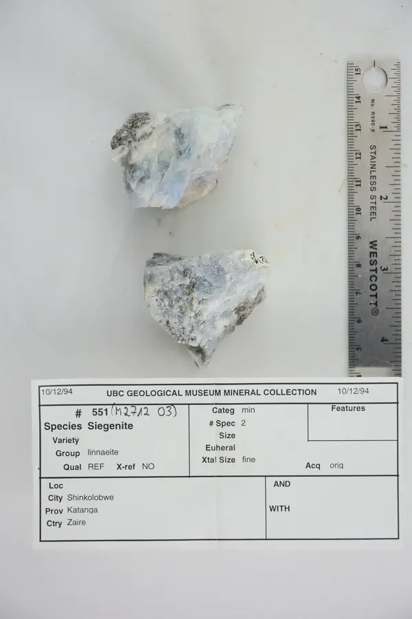
- The Shinkolobwe mine near Likasi supplied uranium for the first atomic bombs.
- The city's motto is 'Aere Laboraque', meaning 'By Copper and Labor'.
- Likasi sits at an elevation of 1,310 meters on the Katanga Plateau.
- It remains a major site for the state-owned mining company Gécamines.
Explore nearby
Notable places around
Route planner — Car & Motorhome
Where do you start? We build the route here, with stops and country notes along the way.
© OpenStreetMap contributors · OpenRouteService
Sights in the town Likasi (3)
Frequently asked questions
Why is Likasi called 'The Shining City'?
What is the main economic sector?
How far is it from Lubumbashi?
Are there cultural sites?
Is Likasi interesting for tourists?
Likasi: where is it located?
Likasi: what is there to see?
Likasi: when is the best time to visit?
Likasi: why is it worth visiting?

Nearby cities
History & landmarks

More places