Plizio Visual Lab
Moravian Gate
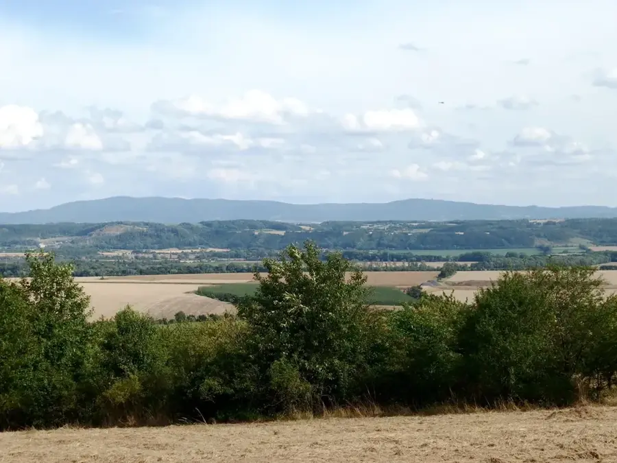
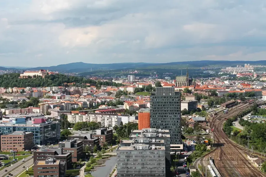
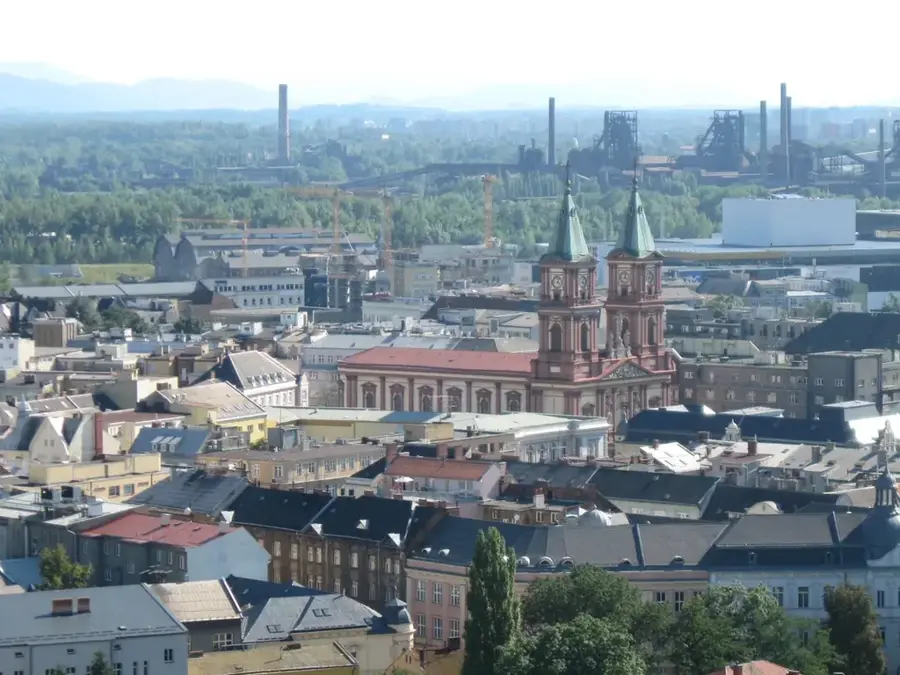
The Moravian Gate is a prominent geomorphological depression in the Czech Republic, serving as a natural mountain pass between the Sudetes and the Carpathian Mountains. Stretching approximately 65 kilometers in length, it connects the Morava River valley with the Oder River basin, making it a vital transit corridor since ancient times. Historically, it formed a crucial segment of the Amber Road, facilitating trade between the Baltic coast and the Mediterranean region. The landscape is characterized by flat to gently undulating terrain, with the European watershed passing through its lowest point near the town of Hranice at an elevation of roughly 310 meters. This unique geographical feature has influenced the distribution of flora and fauna, allowing southern species to migrate northwards. The gate is also economically significant, hosting major railway and highway connections that link Central Europe with the North. Archaeologically, the area is famous for Upper Paleolithic sites such as Předmostí, which provided evidence of extensive mammoth hunting cultures.
- Location: Czech Republic
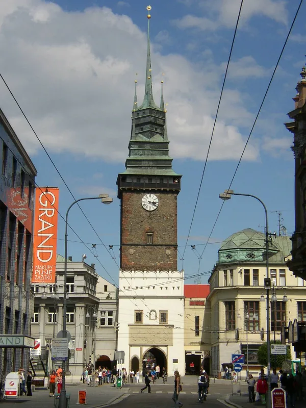
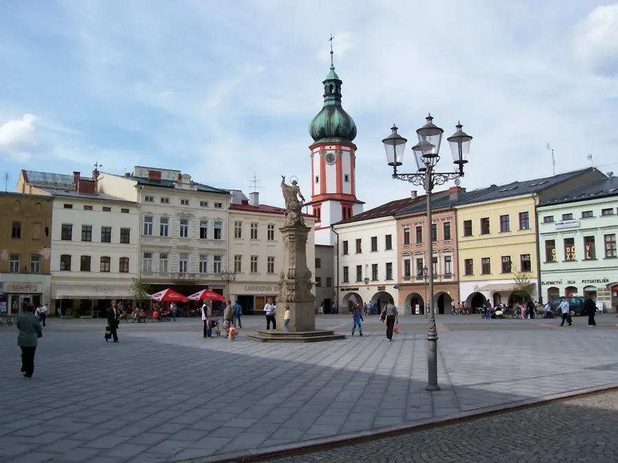
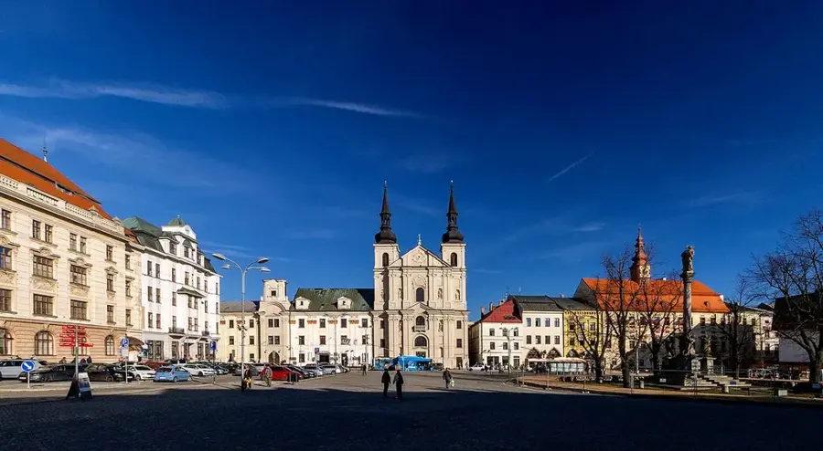
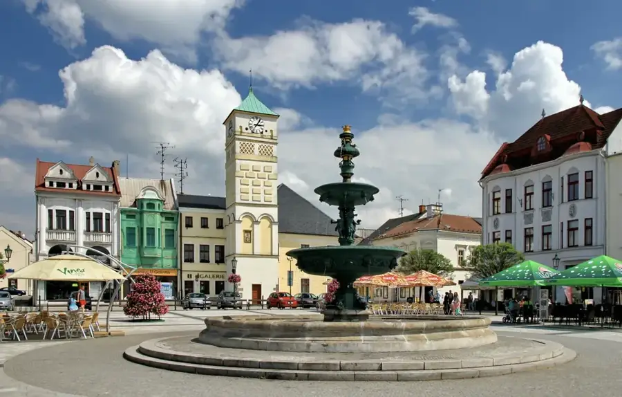
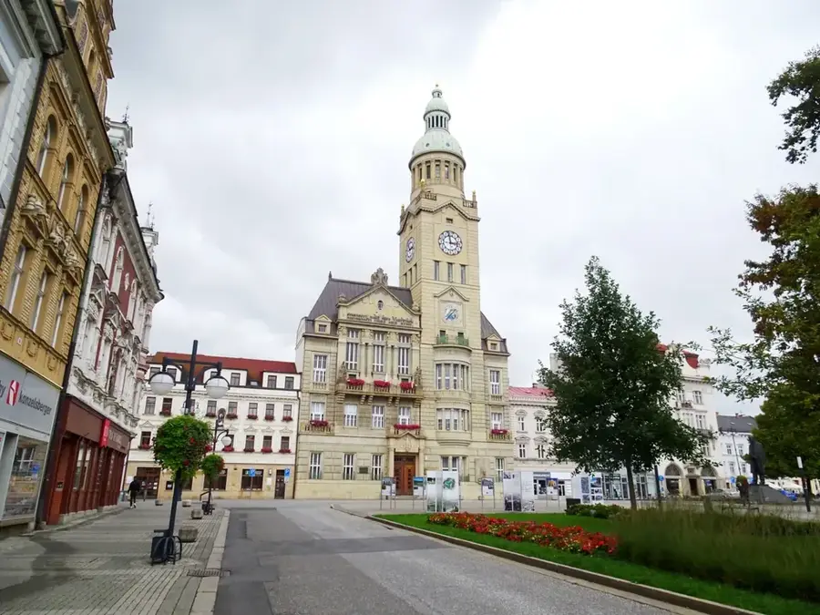
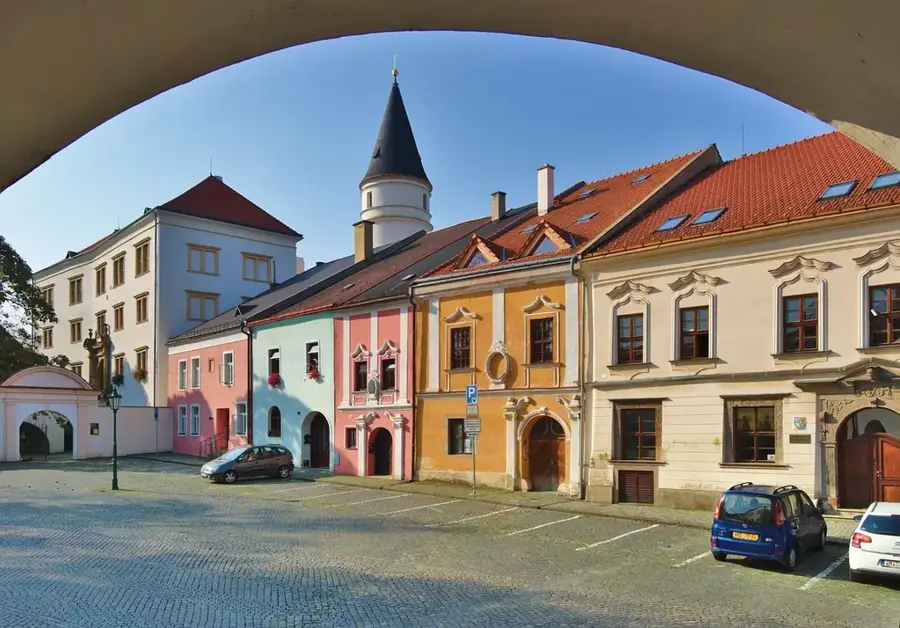
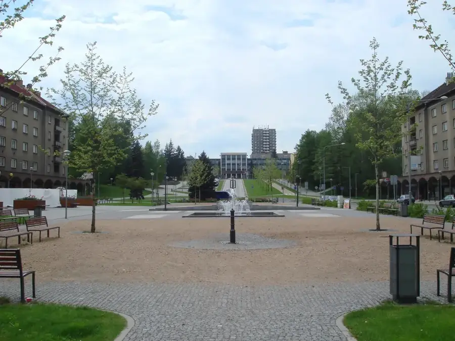
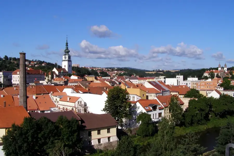
- Top sights: Stětí svatého Jana Křtitele · Galerie Synagoga · Městský úřad Hranice; Zámek Hranice
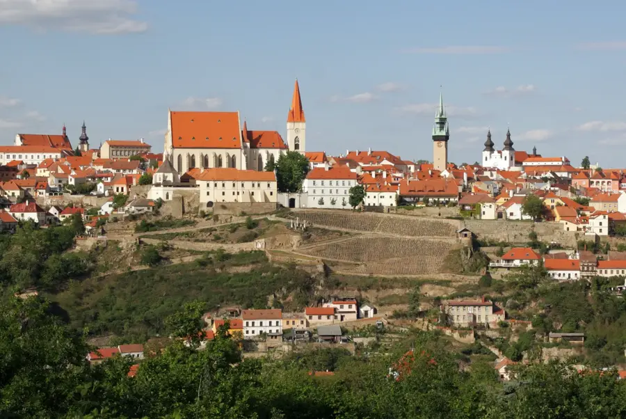
- Nearby: Valašské Meziříčí (19 km)
Best time to visit & climate
The most pleasant time to visit is Jun–Aug.
| Jan | Feb | Mar | Apr | May | Jun | Jul | Aug | Sep | Oct | Nov | Dec | |
|---|---|---|---|---|---|---|---|---|---|---|---|---|
| Avg °C | -4 | -2 | 2 | 8 | 13 | 17 | 20 | 19 | 14 | 8 | 4 | -2 |
| Rain mm | 45 | 40 | 43 | 43 | 79 | 82 | 82 | 72 | 69 | 54 | 45 | 45 |
📋 Practical info
Geography
Facts
- The Moravian Gate spans 65 kilometers between the towns of Přerov and Ostrava.
- The watershed at Hranice is the lowest point of the main European divide at 310 meters.
- The Oder river flows through the northern part of the gate into Poland.
- Prehistoric mammoth remains found at Předmostí date back roughly 26,000 years.
- It serves as a key migratory route for birds traveling between northern and southern Europe.
- The first railway through the gate, the Emperor Ferdinand Northern Railway, opened in 1847.
Explore nearby
Notable places around
Route planner — Car & Motorhome
Where do you start? We build the route here, with stops and country notes along the way.
© OpenStreetMap contributors · OpenRouteService
Sights in the town Moravian Gate (10)
Divadlo Stará střelnice
Theatre building in Hranice, formerly a shooting range.
Dům dětí a mládeže Hranice
Children and youth centre in Hranice.
Akvapark Plovárna
Water park in Hranice with pools and slides.
Tobogán
Water slide at Akvapark Plovárna in Hranice.
Vyhlídka u sv. Jana
Viewpoint near St. John's Church, overlooking Hranice.
NPR Hůrka u Hranic
National nature reserve with karst caves and primeval forest.
Sights nearby
Frequently asked questions
What is the Moravian Gate?
What is its historical significance?
Which city is located in the gate?
What is the Hranice Abyss?
Which castle is in this area?
Moravian Gate: where is it located?
Moravian Gate: what is there to see?
Moravian Gate: when is the best time to visit?
Moravian Gate: why is it worth visiting?

Nearby cities