Plizio Visual Lab
Papoutsa Peak
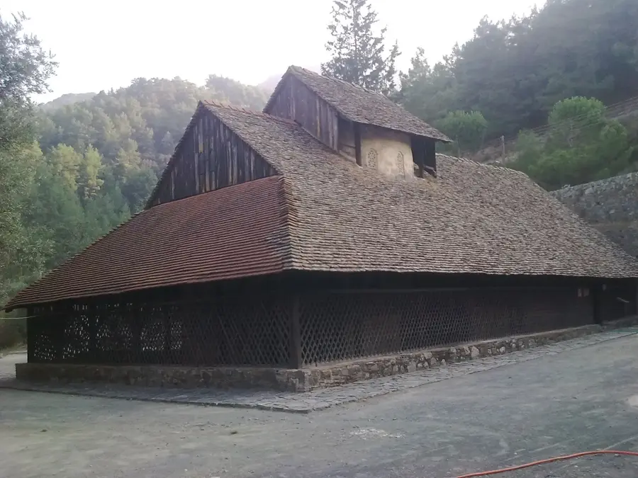
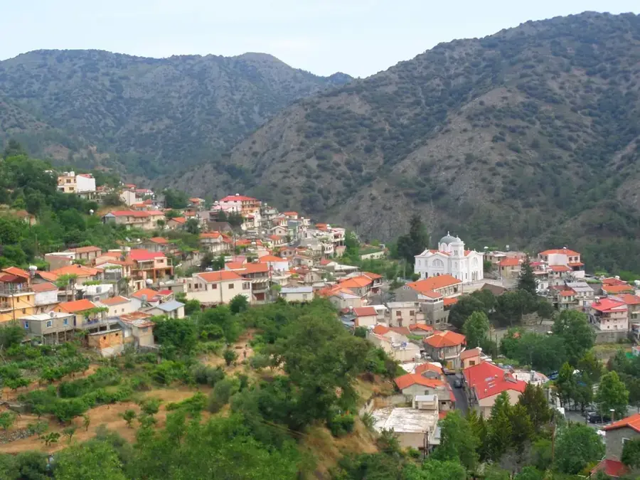
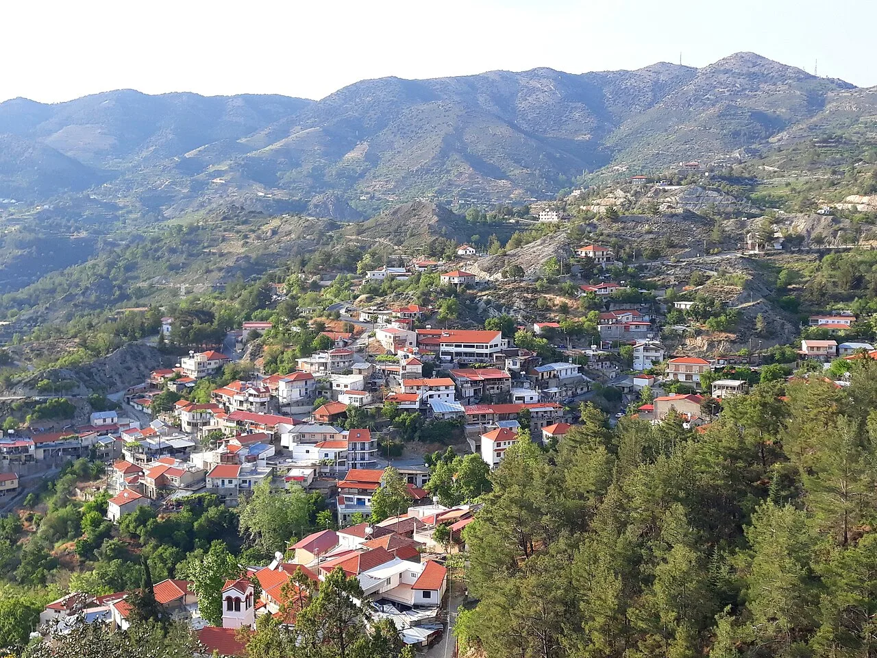
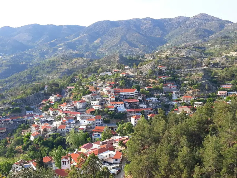
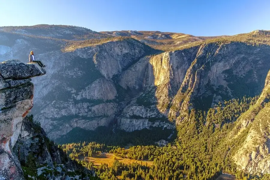
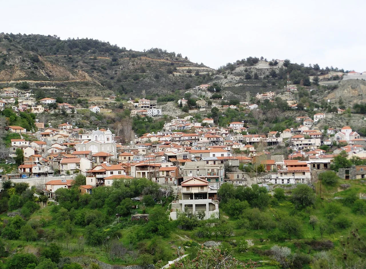
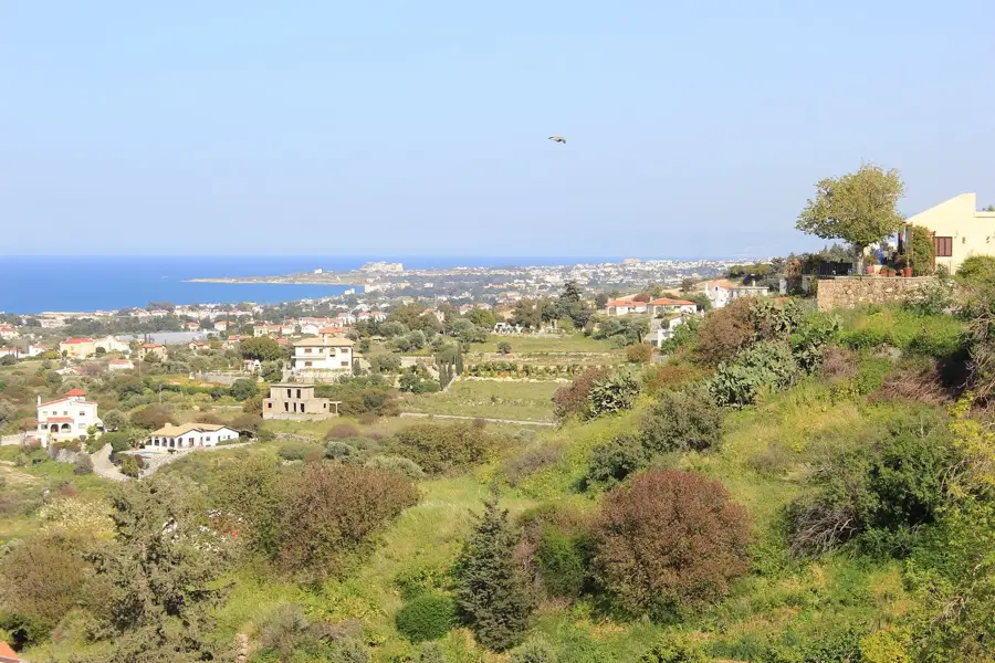
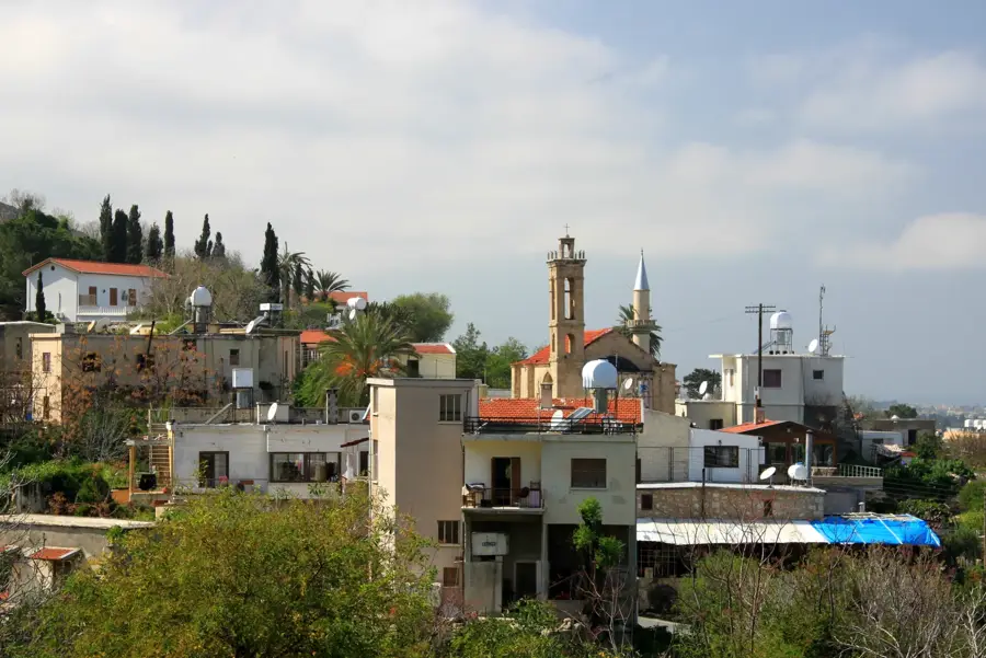
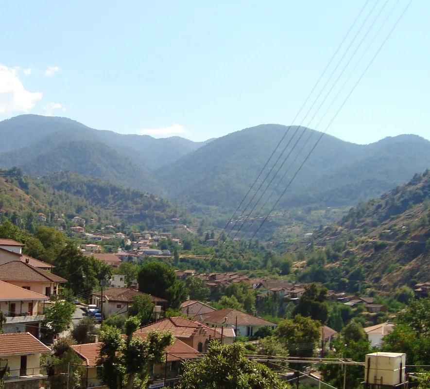
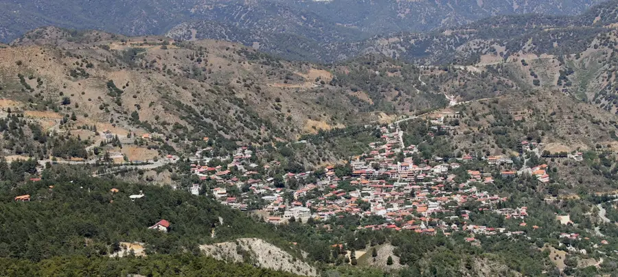
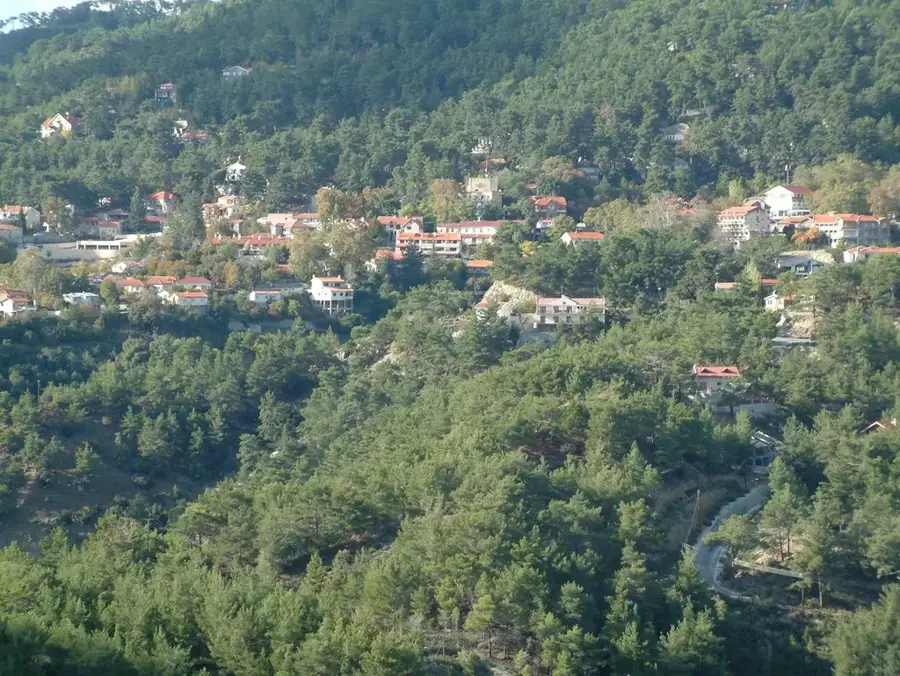
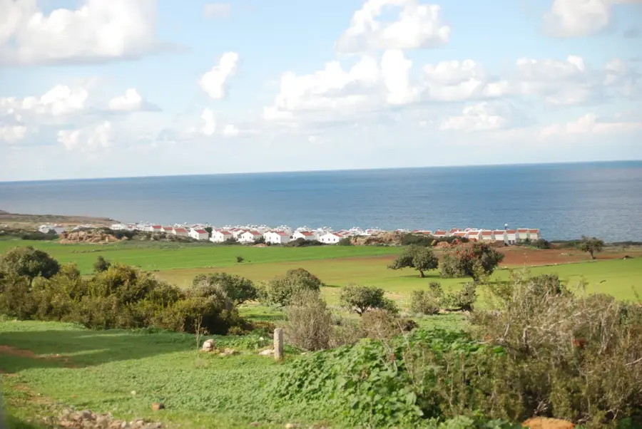
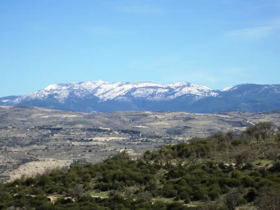
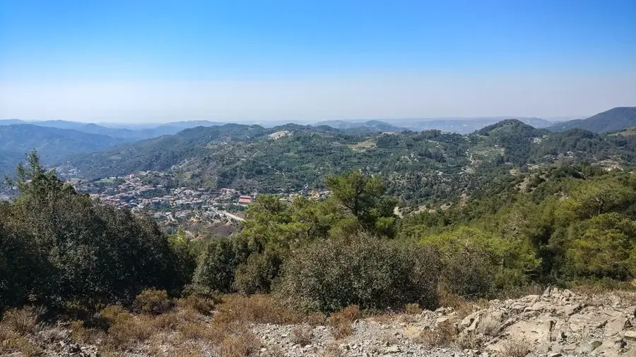
Papoutsa Peak, rising to an elevation of 1,554 meters, is the third-highest summit in Cyprus, located in the Pitsilia region of the Troodos Mountains. Geologically, the mountain is a significant component of the island's ophiolite complex, primarily composed of igneous diabase rocks formed through tectonic uplift. The steep slopes of the peak are covered with typical Mediterranean mountain flora, including Calabrian pines, golden oaks, and several rare endemic plant species. Historically, the peak's strategic position made it a prominent landmark for travelers and shepherds navigating the central highlands. The name 'Papoutsa' is thought to derive from the mountain's profile, which allegedly resembles a traditional shoe. From the summit, visitors can enjoy spectacular panoramic views that, on clear days, extend to both the northern coastline and the Mediterranean Sea to the south. The area surrounding Papoutsa is a popular destination for hikers, featuring several marked trails through its rugged and pristine landscape. Today, the region is vital for conservation efforts aimed at protecting Cyprus's unique high-altitude biodiversity.
- Location: Cyprus
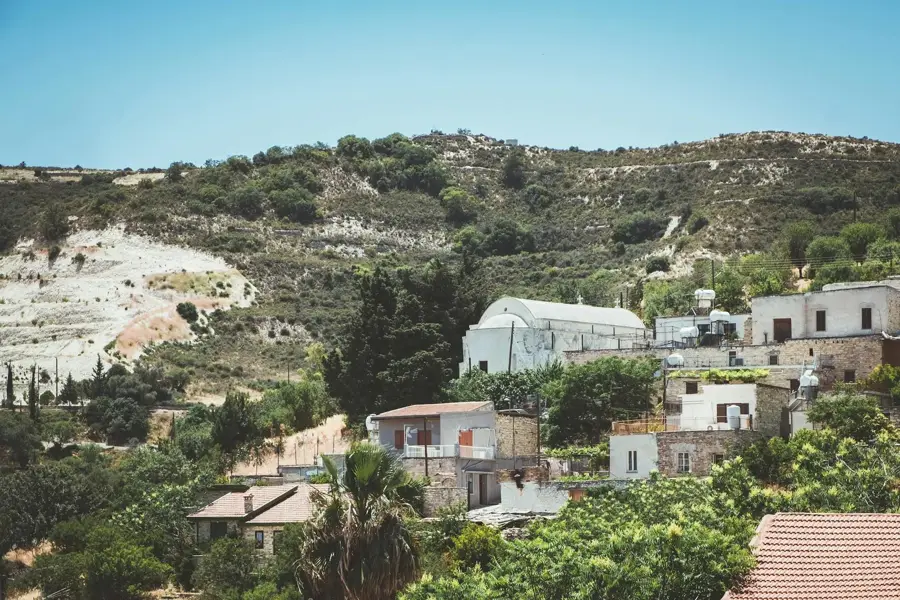
- Nearby: Kakopetria (14 km)
Best time to visit & climate
The most pleasant time to visit is Apr, May, Oct.
| Jan | Feb | Mar | Apr | May | Jun | Jul | Aug | Sep | Oct | Nov | Dec | |
|---|---|---|---|---|---|---|---|---|---|---|---|---|
| Avg °C | 11 | 11 | 14 | 17 | 22 | 27 | 30 | 30 | 27 | 22 | 17 | 13 |
| Rain mm | 83 | 51 | 28 | 14 | 10 | 2 | 0 | 1 | 6 | 20 | 38 | 85 |
📋 Practical info
Geography
Facts
- Elevation: 1,554 meters above sea level
- Third highest mountain peak in Cyprus
- Dominant geology: Igneous diabase rock
- Located within the scenic Pitsilia region
- Panoramic views extend to the Kyrenia coast
- Name translates to 'shoe' in the local dialect
Explore nearby
Notable places around
Route planner — Car & Motorhome
Where do you start? We build the route here, with stops and country notes along the way.
© OpenStreetMap contributors · OpenRouteService
Sights in the town Papoutsa Peak (1)
Sights nearby
Frequently asked questions
How high is Papoutsa peak?
Is there a hiking trail to the top?
Can you drive to the top?
When is there snow?
Is the hike strenuous?
Papoutsa Peak: where is it located?
Papoutsa Peak: when is the best time to visit?
Papoutsa Peak: why is it worth visiting?

Nearby cities
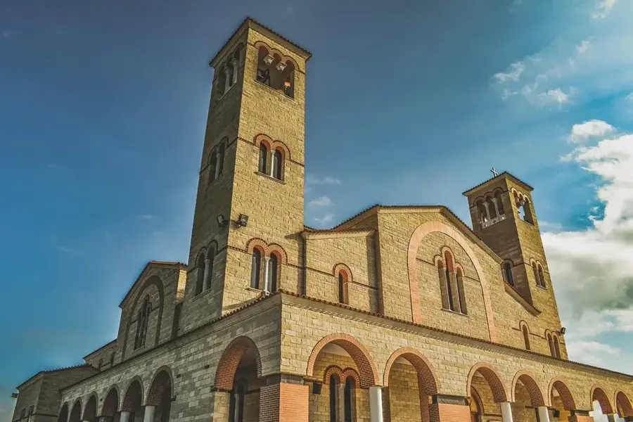
History & landmarks

Nature
More places