Plizio Visual Lab
Kionia Peak
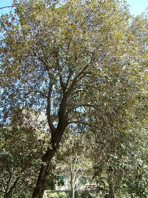
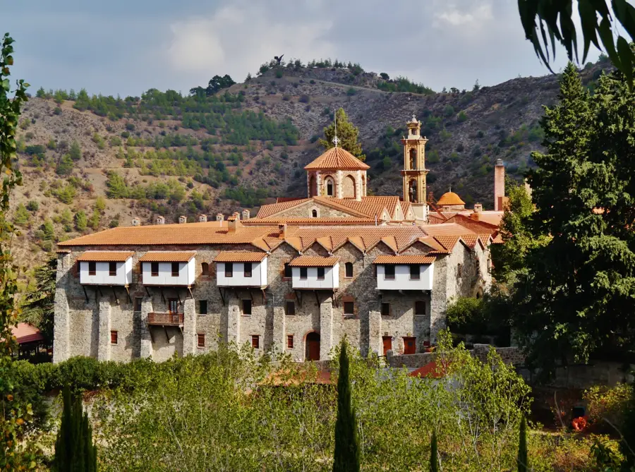
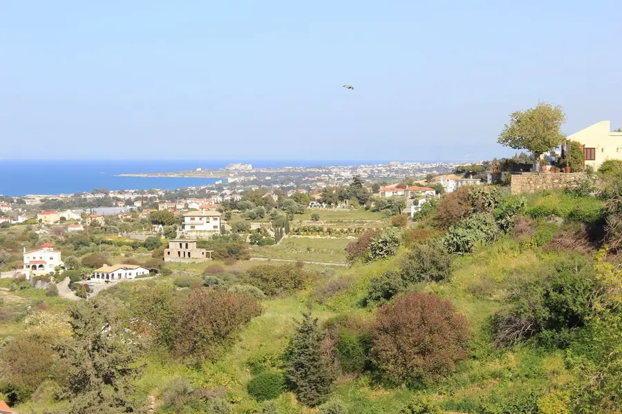
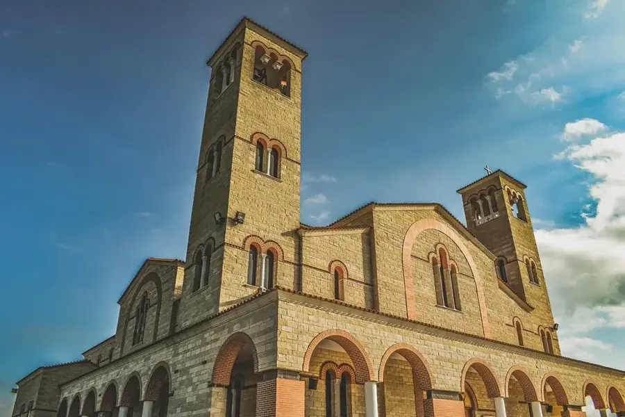
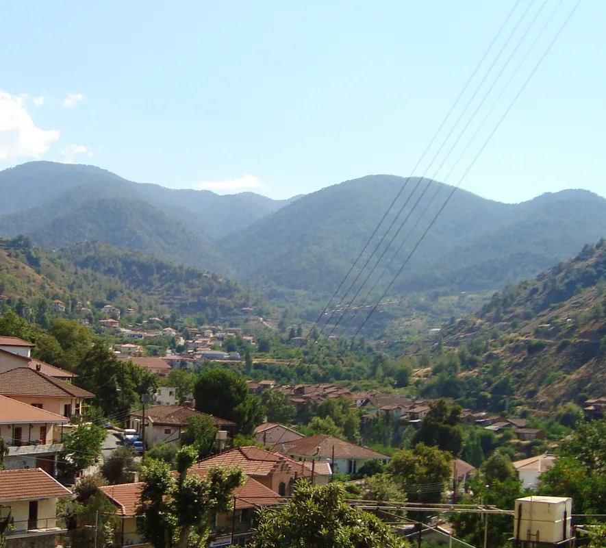
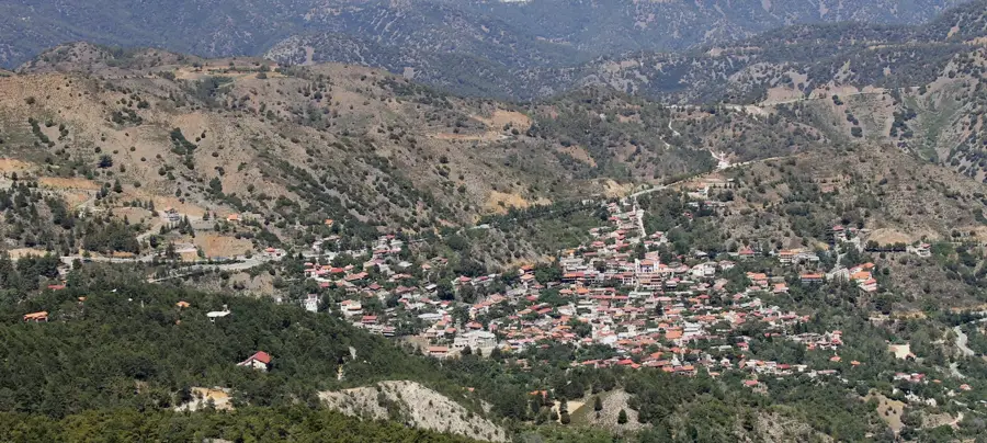
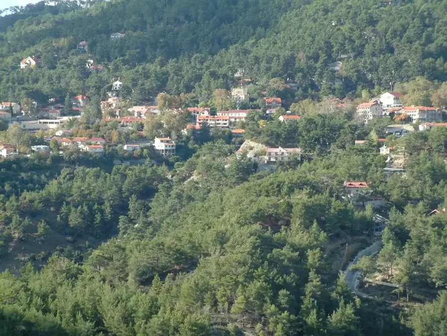
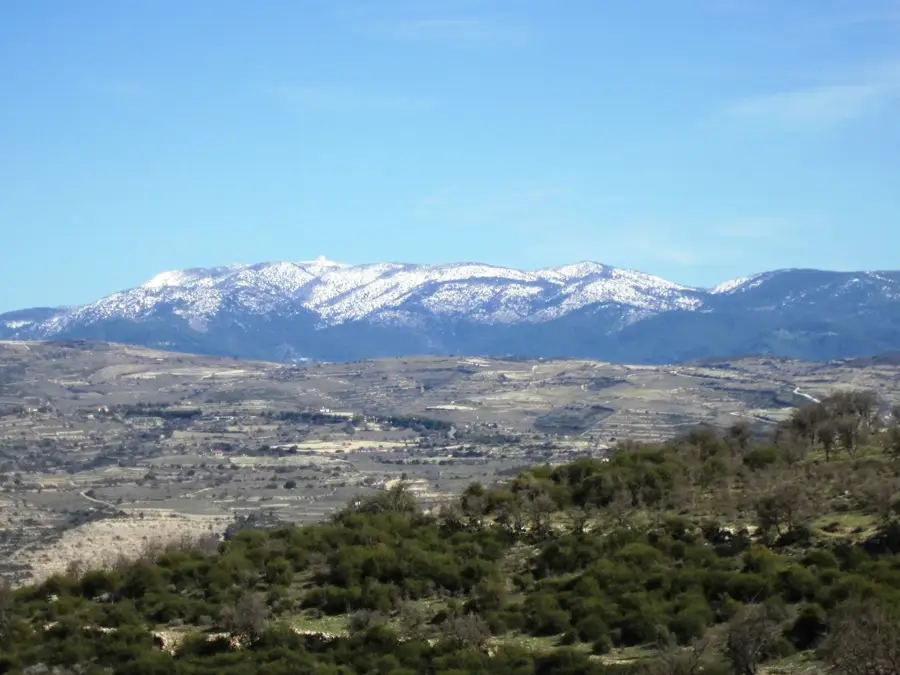
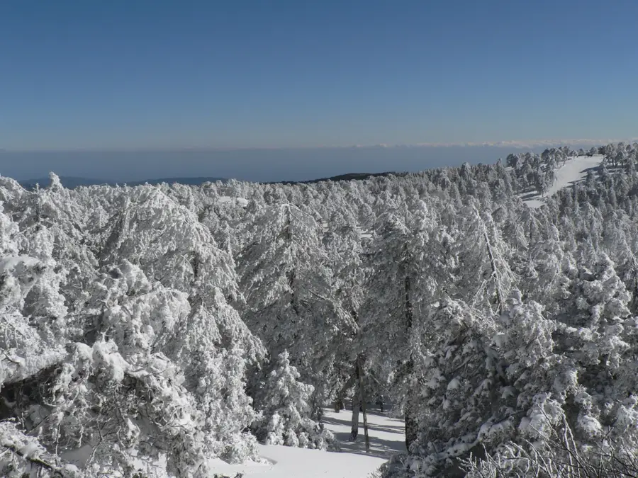
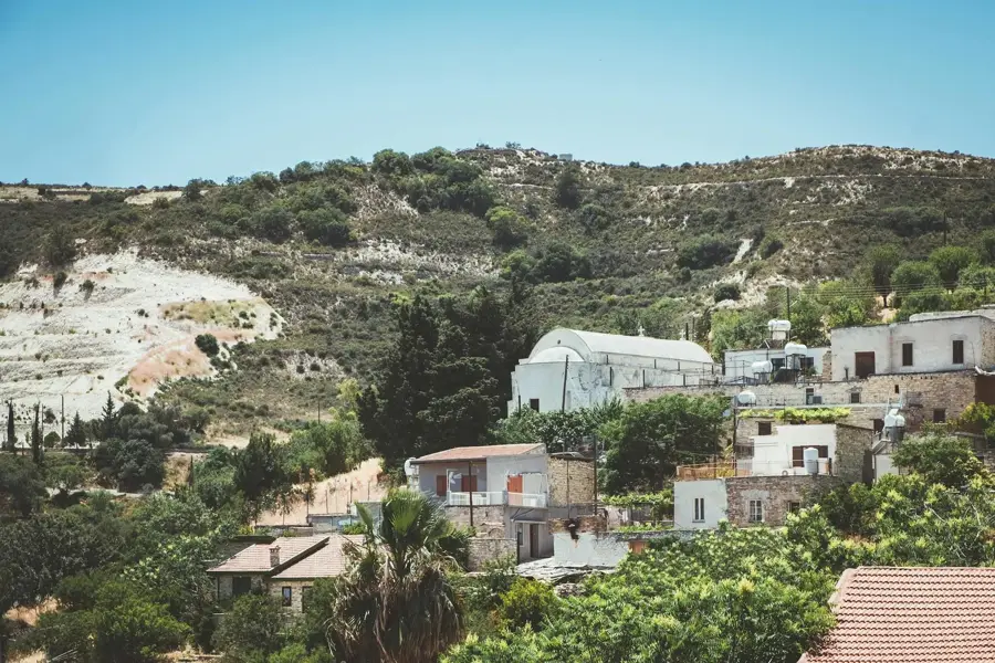
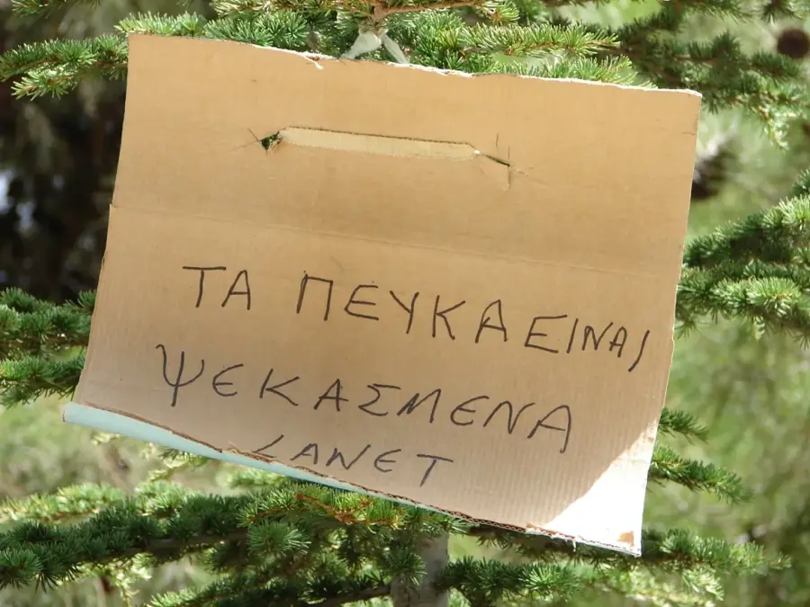
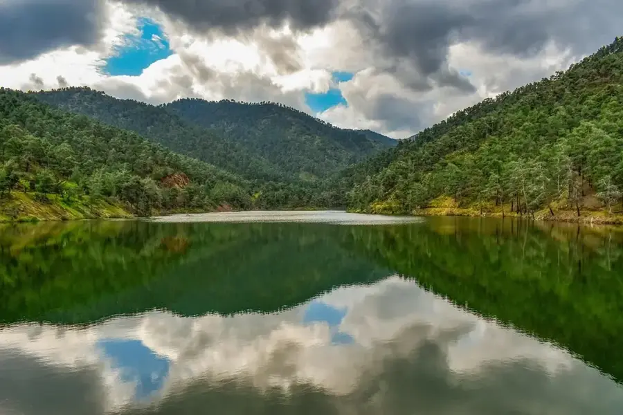
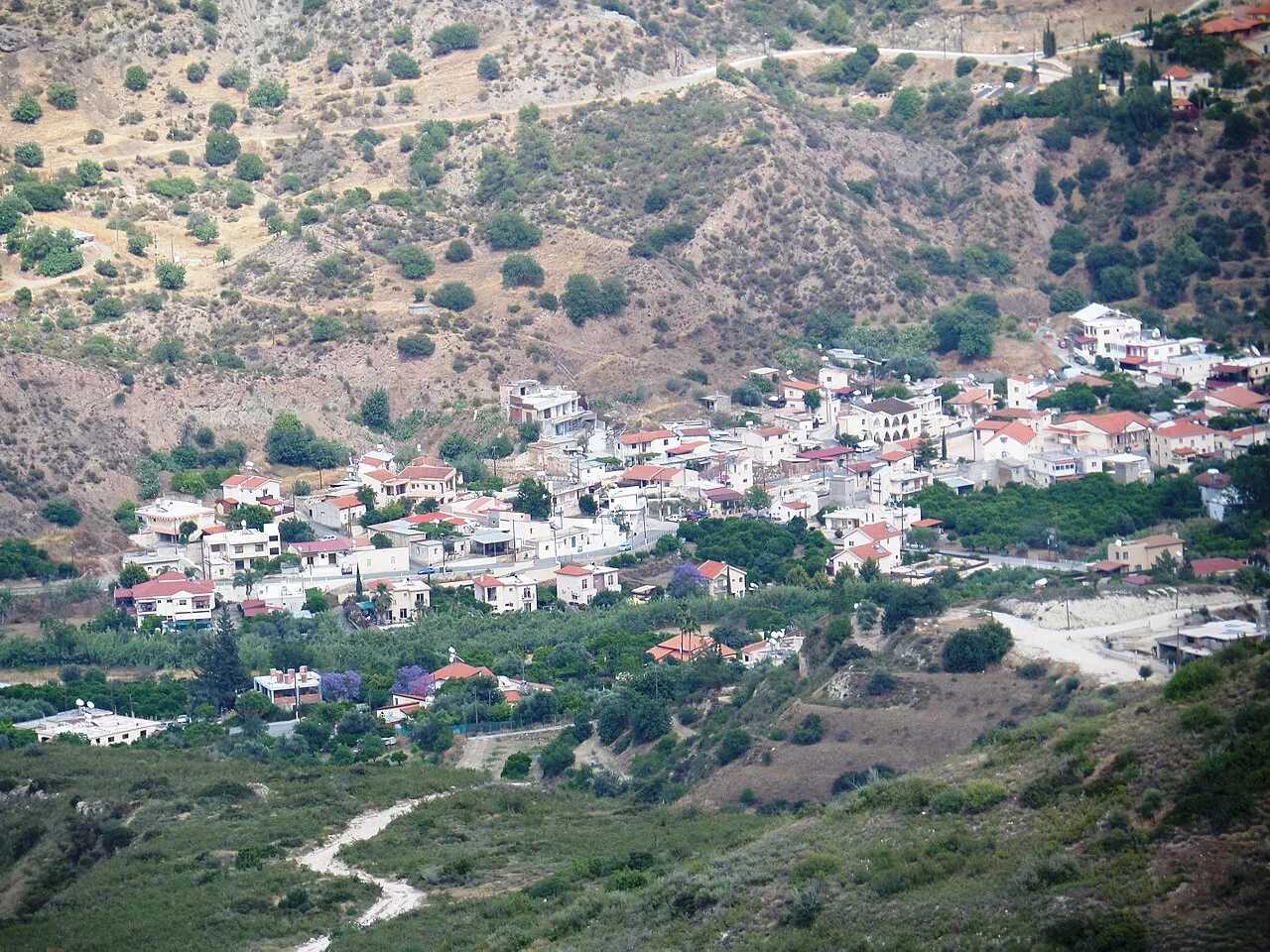
Kionia Peak is situated in the eastern section of the Troodos Mountains, within the Machairas Forest, reaching an elevation of 1,212 meters. Geologically, the mountain is part of the Cyprus ophiolite complex and is composed predominantly of plutonic rocks such as gabbro and diabase. The area is characterized by dense stands of Calabrian pine and the endemic golden oak (Quercus alnifolia), providing a vital habitat for local wildlife. Historically, the peak is closely associated with the nearby Machairas Monastery, one of the island's most significant religious sites, founded in the 12th century. The name 'Kionia' is derived from the pillar-like rock formations found in certain areas of the mountain. Due to its strategic position, the peak features sweeping views across the Mesaoria Plain towards Larnaca Bay. Numerous hiking trails and picnic sites make Kionia a popular destination for locals and tourists seeking the cooler mountain air. Today, the summit also hosts essential communication infrastructure and serves as a primary lookout point for forest fire prevention in the Machairas region.
- Location: Cyprus
- Nearby: Agioi Trimithias (20 km)
Best time to visit & climate
The most pleasant time to visit is Apr, May, Oct.
| Jan | Feb | Mar | Apr | May | Jun | Jul | Aug | Sep | Oct | Nov | Dec | |
|---|---|---|---|---|---|---|---|---|---|---|---|---|
| Avg °C | 11 | 11 | 14 | 17 | 22 | 27 | 30 | 30 | 27 | 22 | 17 | 13 |
| Rain mm | 83 | 51 | 28 | 14 | 10 | 2 | 0 | 1 | 6 | 20 | 38 | 85 |
📋 Practical info
Geography
Facts
- Maximum elevation: 1,212 meters
- Located within the Machairas State Forest
- Near the 12th-century Machairas Monastery
- Geology: Composed of gabbro and diabase
- Home to the popular Kionia nature trail
- Offers views extending to the Larnaca Bay
Explore nearby
Notable places around
Route planner — Car & Motorhome
Where do you start? We build the route here, with stops and country notes along the way.
© OpenStreetMap contributors · OpenRouteService
Sights nearby
Frequently asked questions
Where is Kionia peak located?
Is there an observation deck?
Is there a monastery nearby?
Are there picnic areas at Kionia?
Is the access road paved?
Kionia Peak: where is it located?
Kionia Peak: when is the best time to visit?
Kionia Peak: why is it worth visiting?

Nearby cities

History & landmarks
Nature
More places