Plizio Visual Lab
Farma Peak
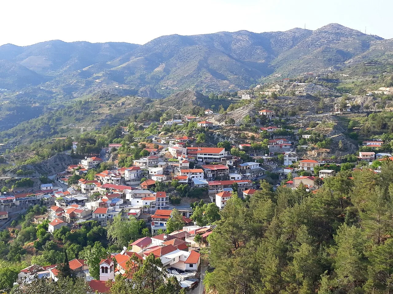
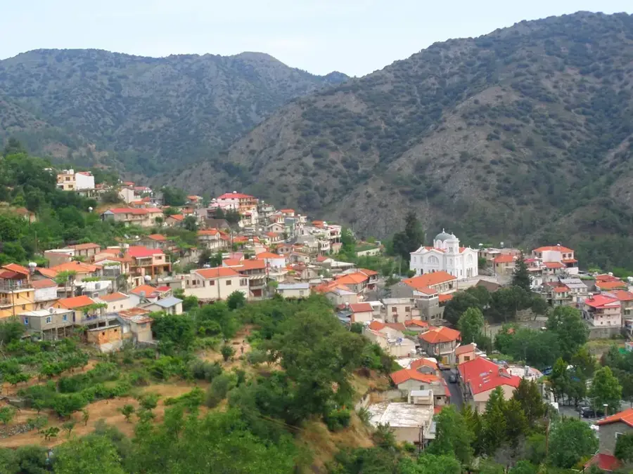
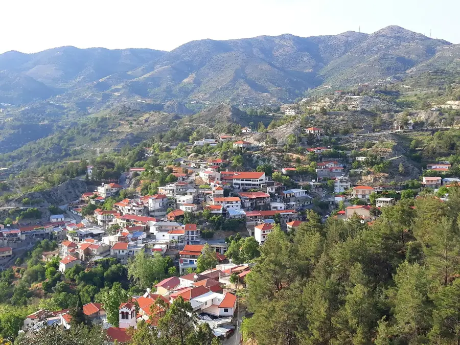
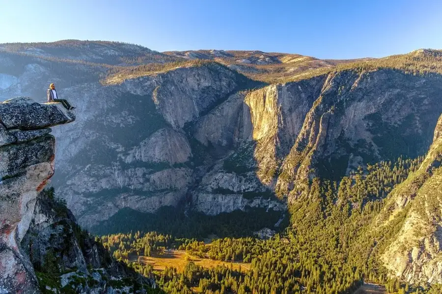
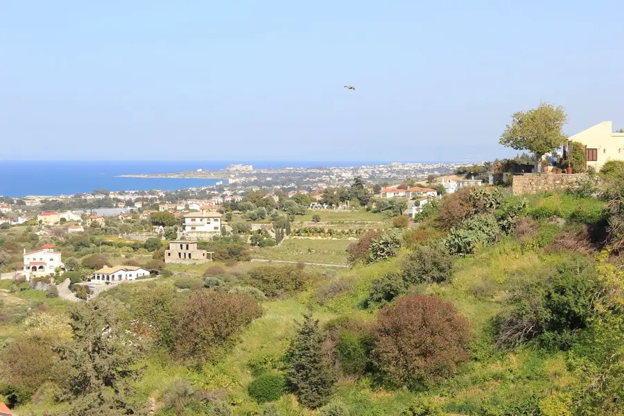
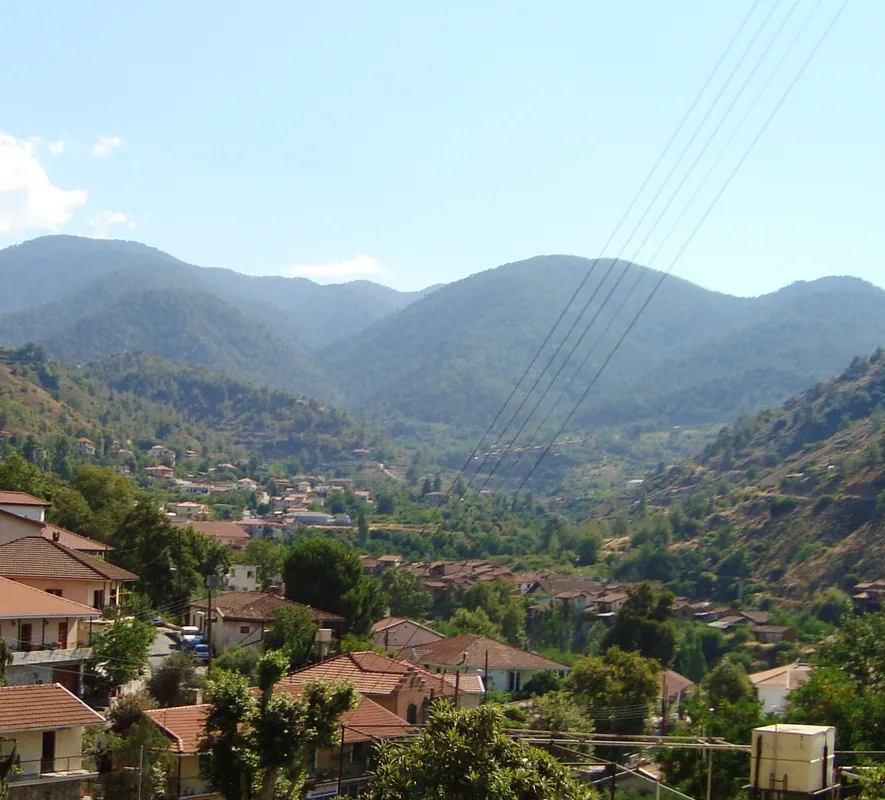
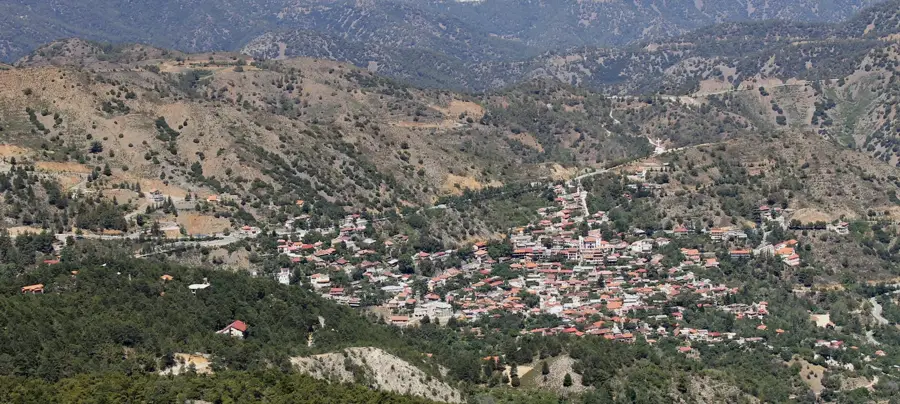
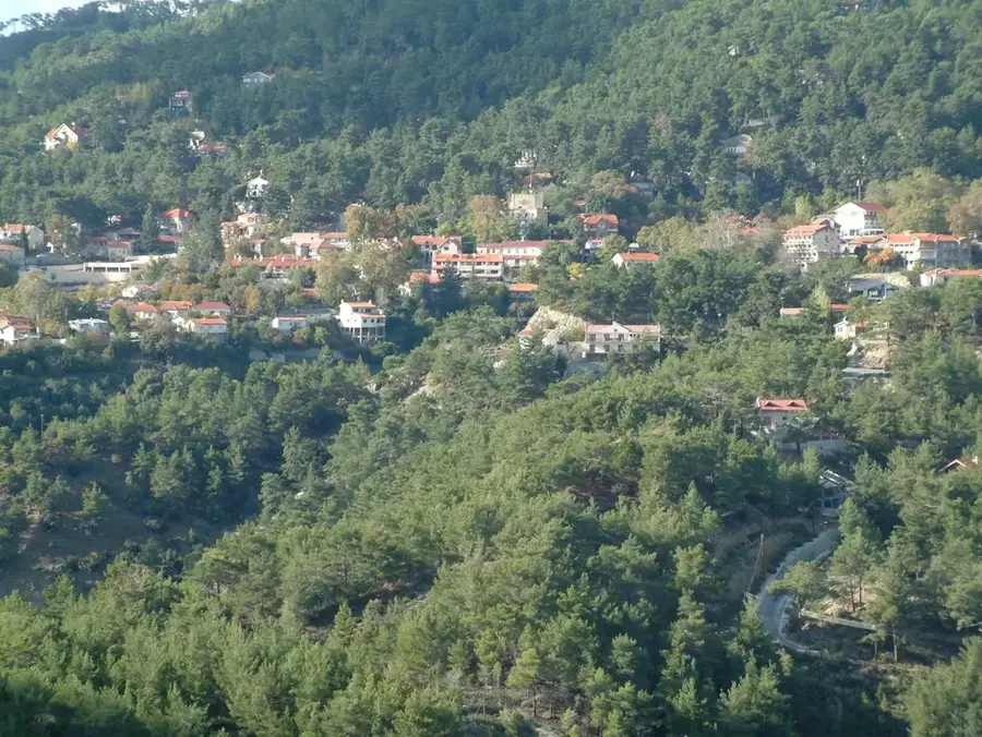
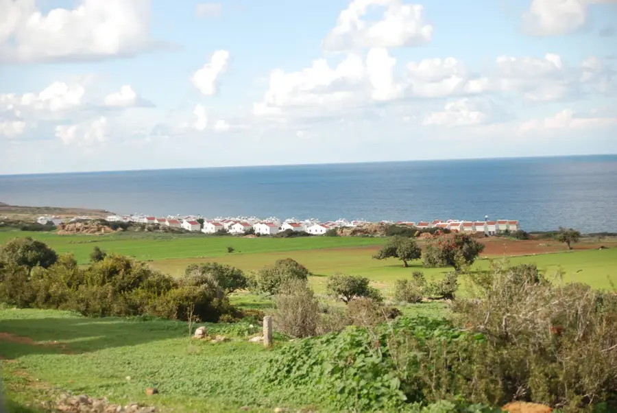
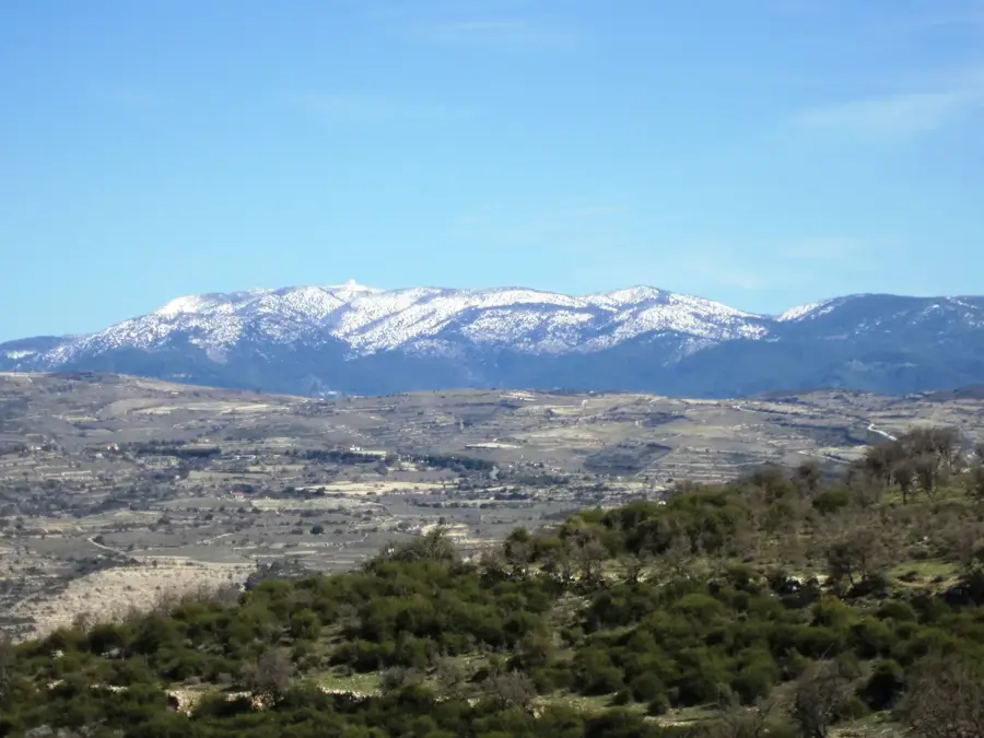
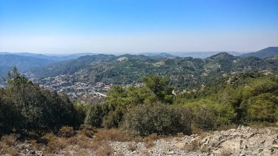
Farma Peak is a prominent elevation in the eastern Troodos Mountains, within the pretty Pitsilia region of Cyprus. Reaching an altitude of approximately 1,100 meters, it features a wide-ranging panoramic view over the surrounding valleys and as far as the Kyrenia Mountains in the north. Geologically, the peak is dominated by volcanic rocks such as gabbro and diabase, which are part of the famous Troodos Ophiolite. Historically, the area around the peak served as a source of timber and as a strategic observation point for local mountain communities. The slopes are densely forested with Calabrian pine and endemic golden oak, which is considered the national tree of Cyprus. Today, Farma Peak is a valued spot for mountain hikers who enjoy the cool mountain air and alpine flora. Due to its isolated location, rare plant species have been preserved here, thriving on the rocky outcrops. Nature conservation efforts ensure the preservation of this sensitive ecosystem.
- Location: Cyprus
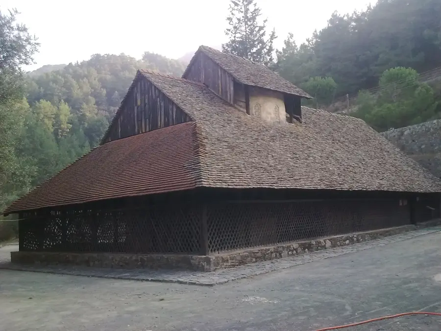
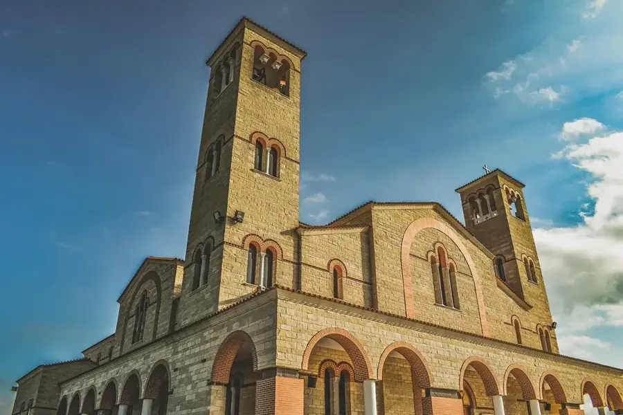
- Top sights: Panagia tou Araka · War memorial · View over north west Cyprus
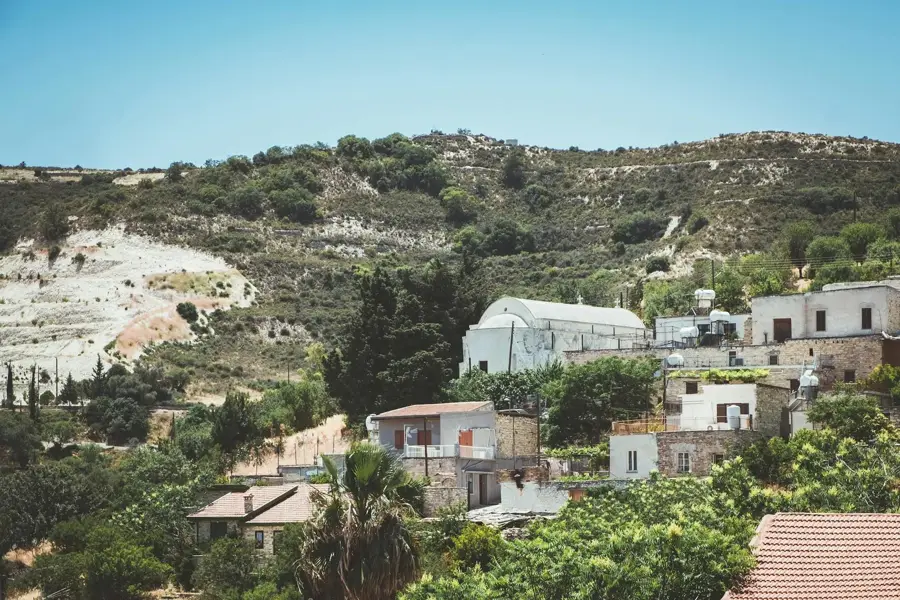
- Nearby: Kakopetria (12 km)
Best time to visit & climate
The most pleasant time to visit is Apr, May, Oct.
| Jan | Feb | Mar | Apr | May | Jun | Jul | Aug | Sep | Oct | Nov | Dec | |
|---|---|---|---|---|---|---|---|---|---|---|---|---|
| Avg °C | 11 | 11 | 14 | 17 | 22 | 27 | 30 | 30 | 27 | 22 | 17 | 13 |
| Rain mm | 83 | 51 | 28 | 14 | 10 | 2 | 0 | 1 | 6 | 20 | 38 | 85 |
📋 Practical info
Geography
Facts
- Farma Peak reaches an elevation of approximately 1,120 meters.
- It is located near the mountain villages of Spilia and Kourdali.
- The golden oak (Quercus alnifolia) grows here in large stands.
- Snowfall occurs on the peak an average of 5 to 10 days per year.
- The region is part of the Troodos Geopark, established in 2015.
- From the peak, the north coast of the island is visible on clear days.
Explore nearby
Notable places around
Route planner — Car & Motorhome
Where do you start? We build the route here, with stops and country notes along the way.
© OpenStreetMap contributors · OpenRouteService
Sights in the town Farma Peak (3)
Sights nearby
Frequently asked questions
Is Farma Peak known for views?
Are there hiking trails there?
What is the flora like at the peak?
Is there water on the mountain?
Can you see wildlife there?
Farma Peak: where is it located?
Farma Peak: what is there to see?
Farma Peak: when is the best time to visit?
Farma Peak: why is it worth visiting?

Nearby cities
History & landmarks

Nature
More places