Plizio Visual Lab
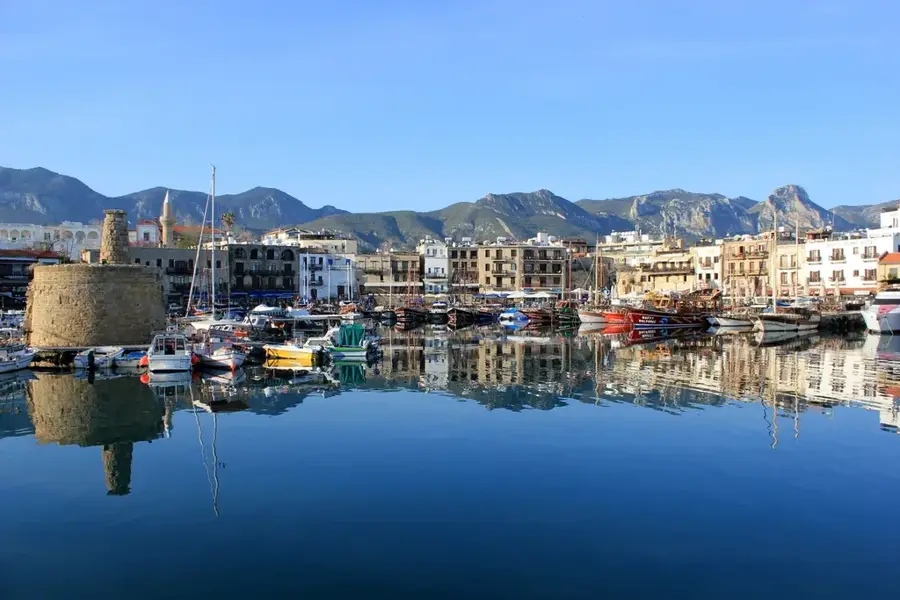
Kyrenia Mountains

Weather…
Water temperature…
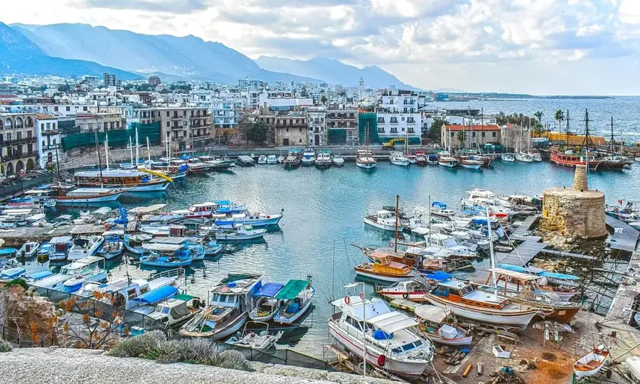
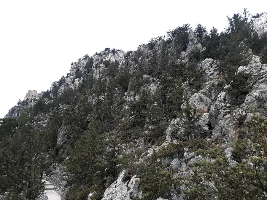
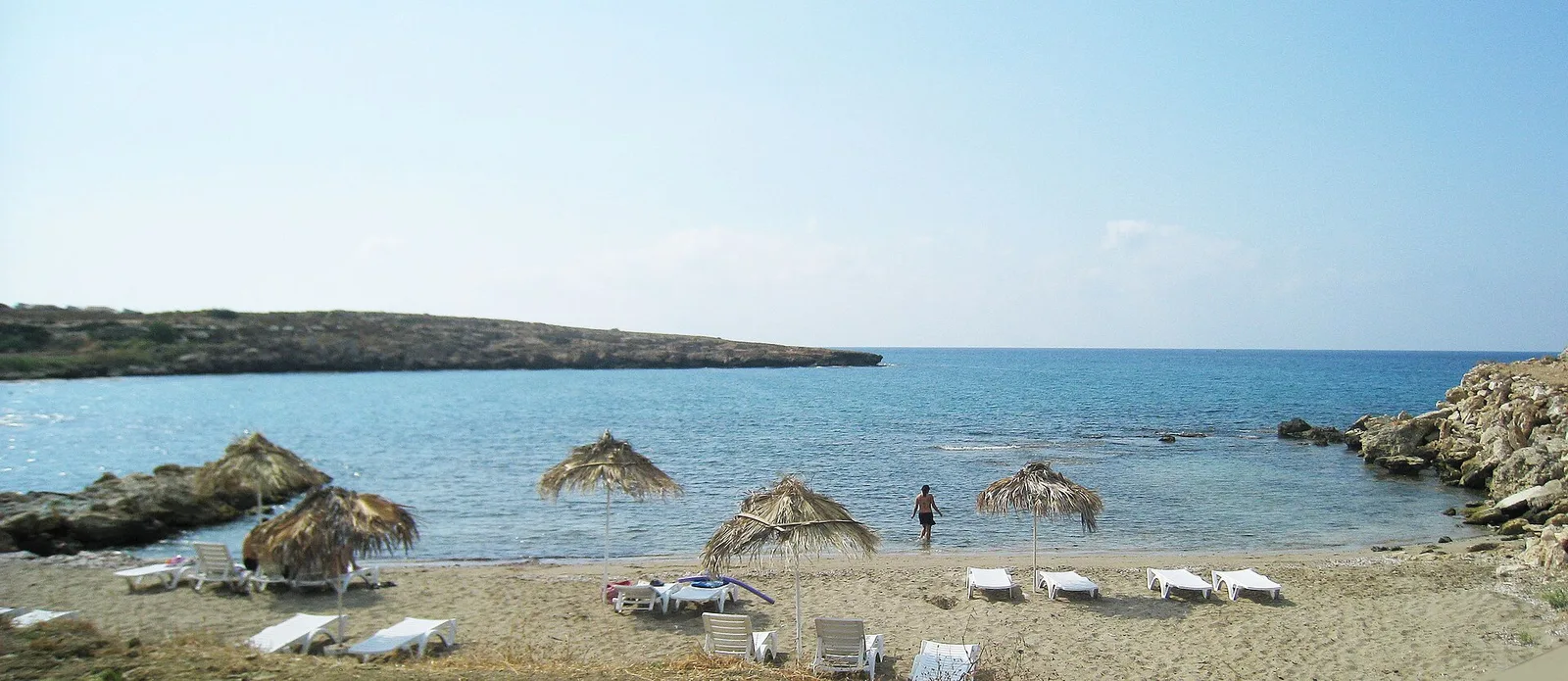
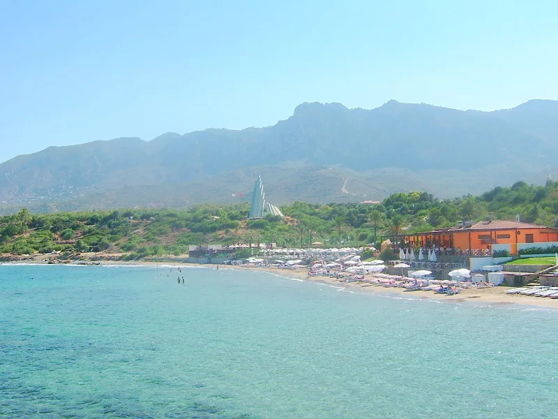
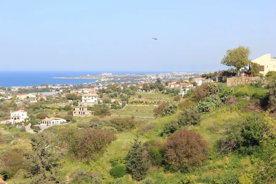
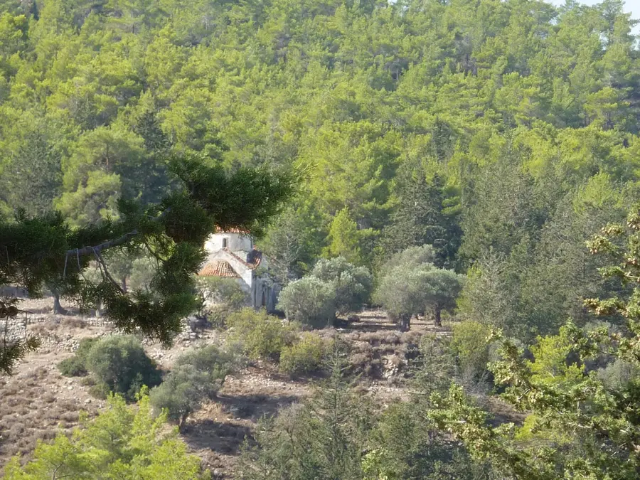
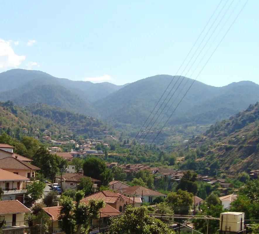
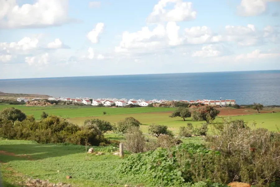
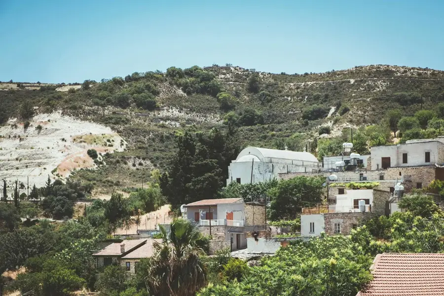
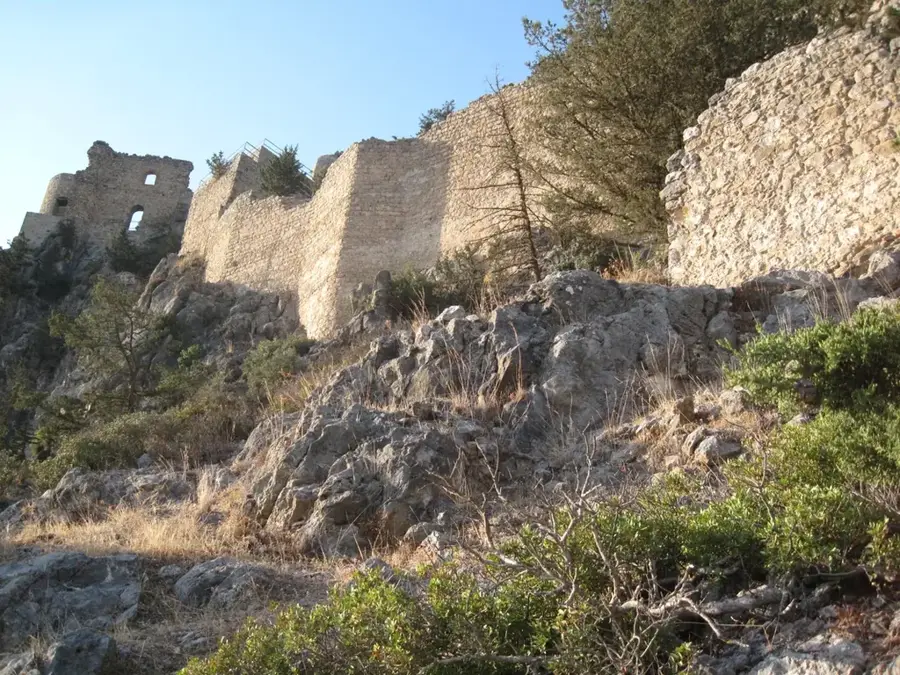
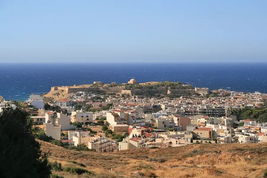
The Kyrenia Mountains, also known as the Pentadaktylos (Five Fingers) range, stretch for 160 kilometers along the northern coast of Cyprus. This narrow range is primarily composed of limestone and marble, with its highest peaks reaching just over 1,000 meters. Geologically, the range was formed by the tectonic collision between the African and Eurasian plates, resulting in its characteristic jagged profile. Throughout history, the mountains served as a vital defense line, evidenced by the three iconic Crusader castles: St. Hilarion, Buffavento, and Kantara, which sit atop the highest ridges. The northern slopes are relatively lush with pine and cypress forests, while the southern face drops steeply toward the Mesaoria Plain. The range is also famous for the Bellapais Abbey, a masterpiece of Gothic architecture set on its slopes. Today, the mountains are a popular destination for hikers and paragliders, offering memorable views of the Mediterranean Sea.
- Location: Cyprus
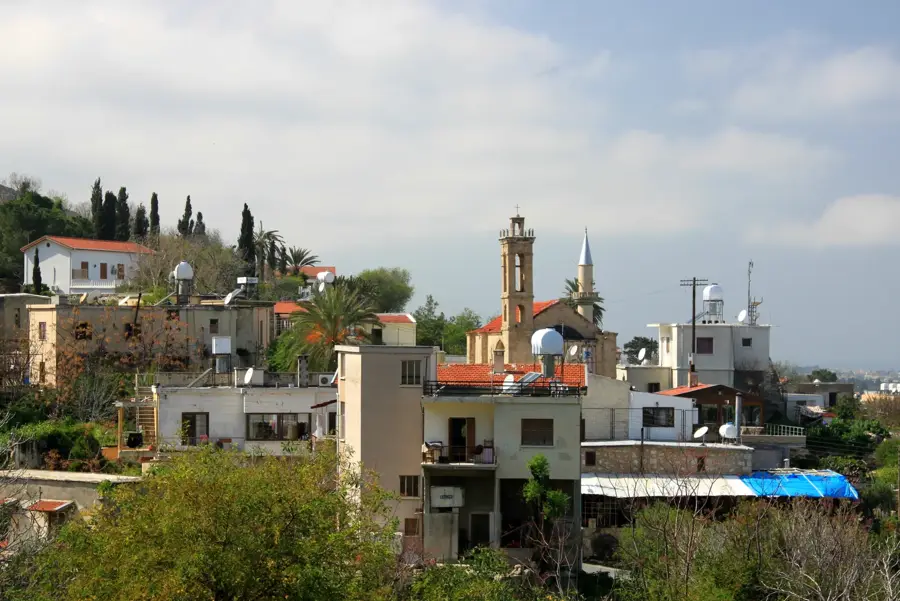
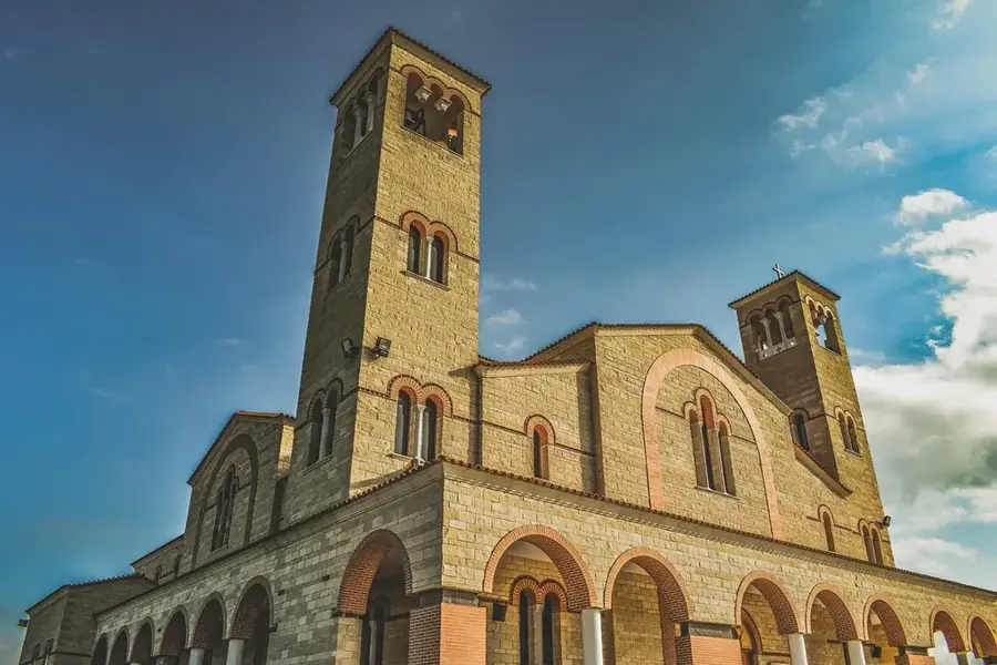
- Top sights: Pano Dikomo · Dikomo · Kato Dikomo
- Nearby: Agios Georgios (9 km)
Best time to visit & climate
The most pleasant time to visit is Apr, May, Nov.
| Jan | Feb | Mar | Apr | May | Jun | Jul | Aug | Sep | Oct | Nov | Dec | |
|---|---|---|---|---|---|---|---|---|---|---|---|---|
| Avg °C | 14 | 14 | 16 | 19 | 22 | 26 | 30 | 30 | 28 | 25 | 20 | 16 |
| Rain mm | 75 | 49 | 29 | 17 | 14 | 4 | 1 | 1 | 10 | 24 | 42 | 83 |
📋 Practical info
Geography
Facts
- The range spans 160 km in length but is very narrow, often less than 10 km wide.
- The name 'Pentadaktylos' refers to a mountain resembling five fingers.
- St. Hilarion Castle is said to be the inspiration for Disney's Sleeping Beauty castle.
- Buffavento Castle is the highest point of defense on the island at 954 meters.
- The mountains consist of sedimentary rocks dating back to the Triassic period.
- A massive flag of Northern Cyprus is painted on the southern slope of the range.
Explore nearby
Notable places around
Route planner — Car & Motorhome
Where do you start? We build the route here, with stops and country notes along the way.
© OpenStreetMap contributors · OpenRouteService
Sights in the town Kyrenia Mountains (3)
Sights nearby
Frequently asked questions
Which castle is the most famous?
How high is the mountain range?
Are there marked hiking trails?
Can you see the coast of Turkey?
Are the mountain roads safe?
Kyrenia Mountains: where is it located?
Kyrenia Mountains: what is there to see?
Kyrenia Mountains: when is the best time to visit?
Kyrenia Mountains: why is it worth visiting?

Nearby cities
History & landmarks

Nature
More places