Plizio Visual Lab
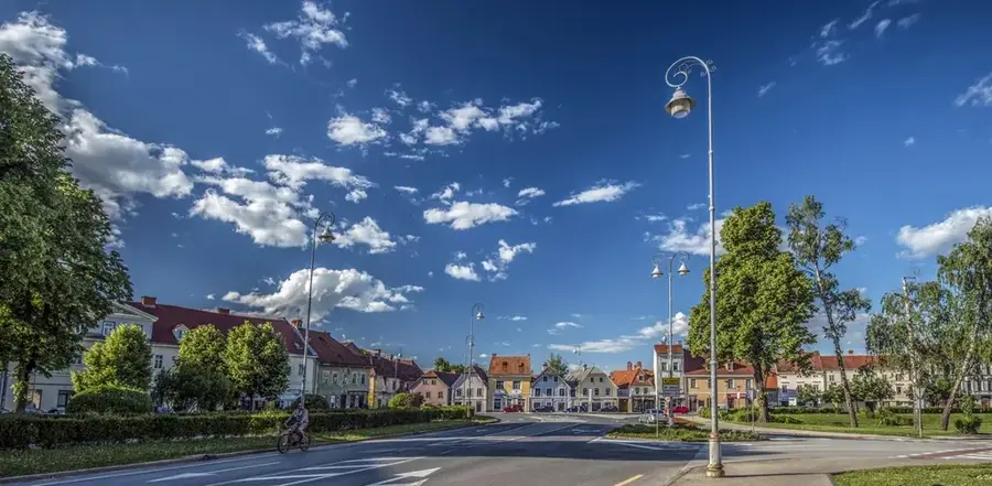
Vrbovsko
ℹ️Practical info — Vrbovsko
▾
🌤 Weather — 5 days
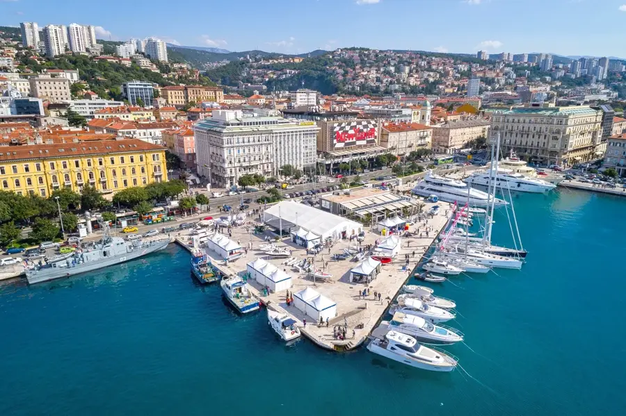
📍 Nearby
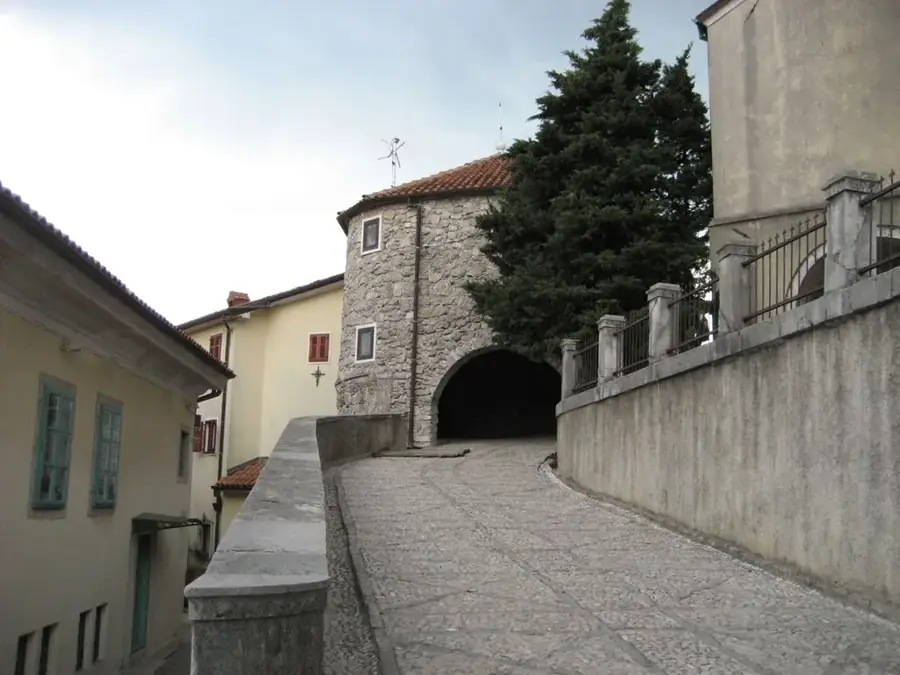
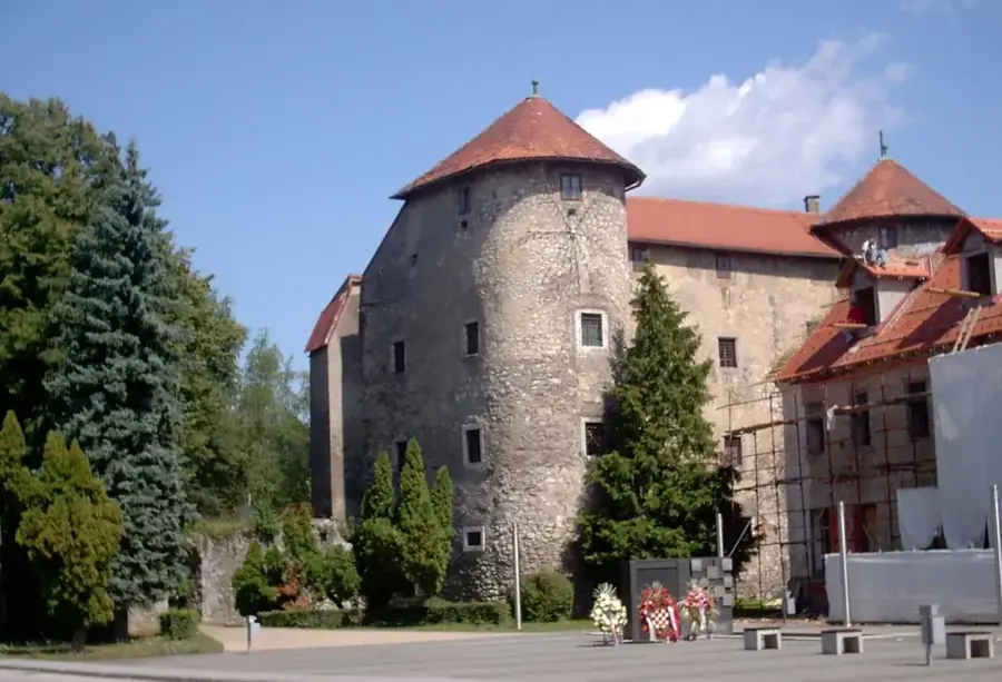
Sights nearby
💡 Tips
- Situated in Gorski Kotar, the weather is cooler here than on the coast; always bring a warm layer, even in summer.
- A popular stopover between Zagreb and the sea; but staying overnight allows you to explore the lush forests.
- The Kamačnik canyon is a must-see; start your walk near the Vrbovsko train station.
- If traveling by train, the Vrbovsko station is one of the highest on the route to Rijeka.
- Wild berries and mushrooms are abundant in autumn, but only forage if you are experienced.
🍽 Food
Try game goulash with bread dumplings in traditional mountain taverns.
A local specialty of the Gorski Kotar region, often served breaded and fried.
Look for desserts made with wild blueberries or raspberries at local bakeries.
🛍 Shopping · 🧘 Quiet spots
Buy dried mushrooms, wild berry jams, and local honey from roadside stands or small markets.
A squeaky cow's milk cheese typical of the region.
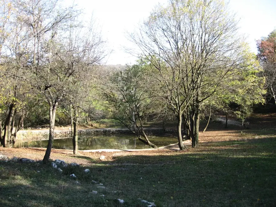
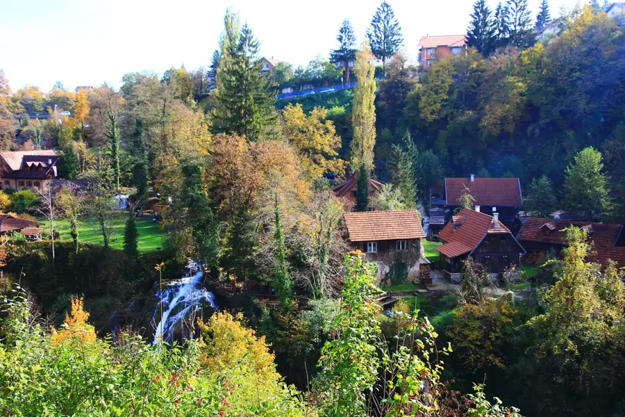
A beautifully maintained walking trail following the river through a tranquil gorge.
Find a quiet spot along the river for a picnic or simply listening to the water.
Water temperature…
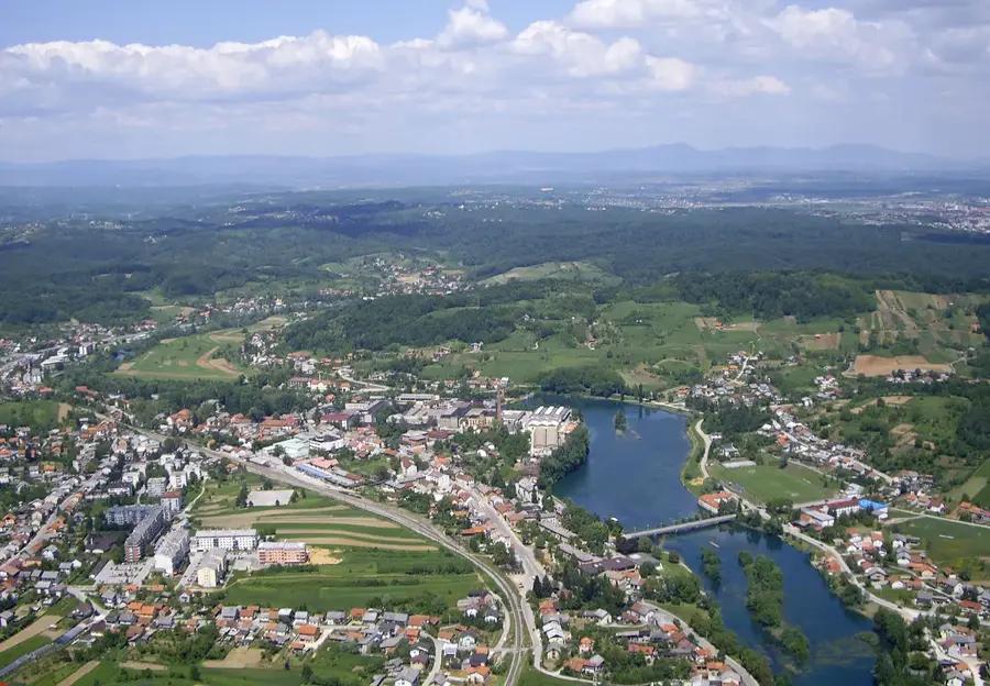
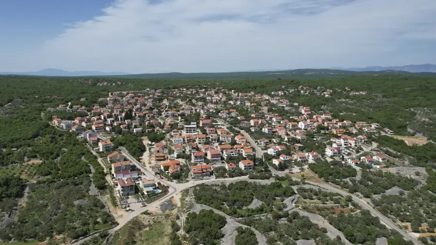
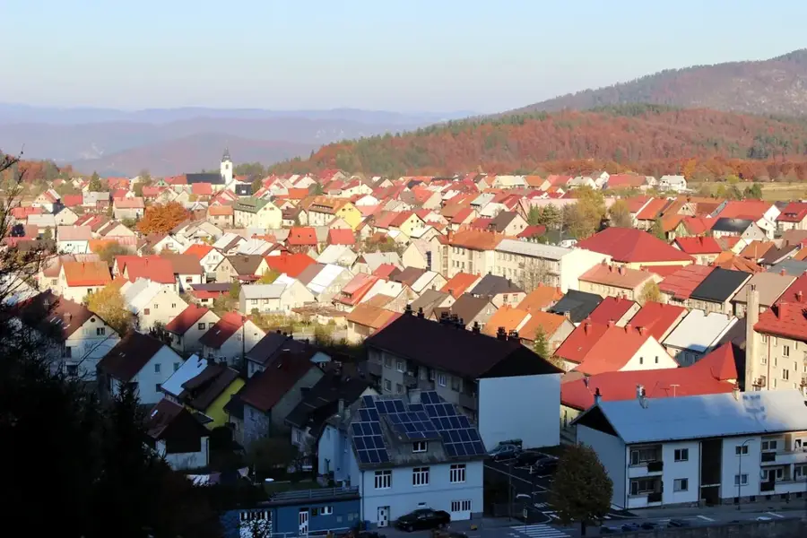
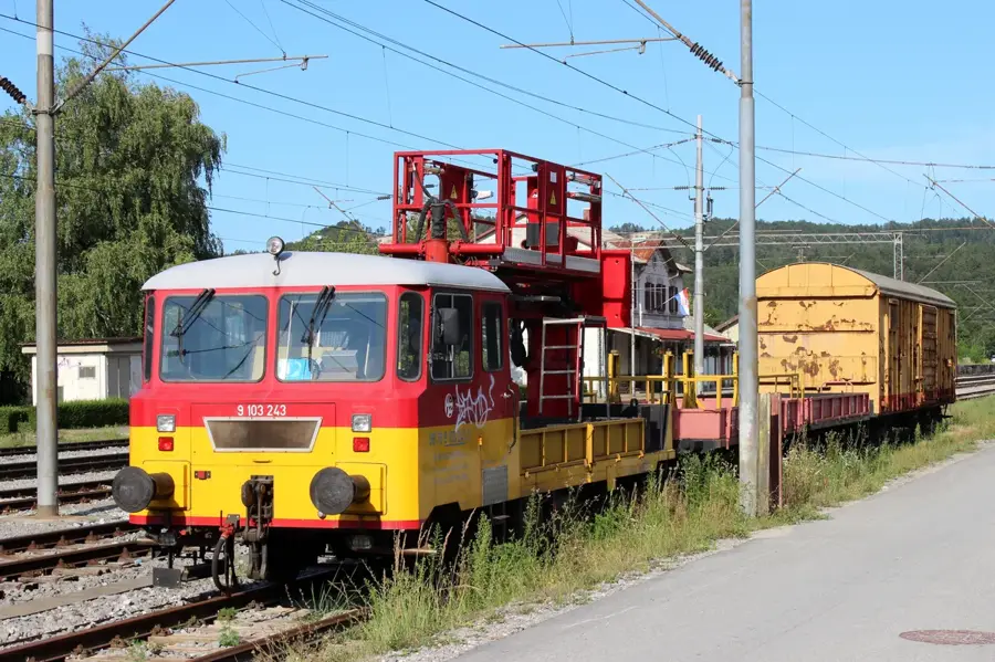
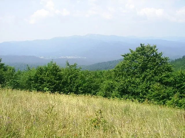
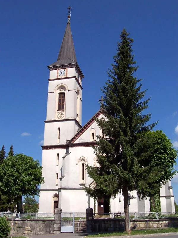
Vrbovsko is the easternmost town in the Gorski Kotar region, strategically located halfway between Zagreb and Rijeka. The town spans the banks of the Dobra and Kupa rivers and is encircled by dense coniferous and beech forests that dictate the local climate and economy. Historically, Vrbovsko rose to prominence in the 18th century following the construction of the Caroline Road, which connected inland Croatia to the Adriatic coast. A standout natural landmark nearby is the Kamačnik canyon, where the namesake river flows into the Dobra through a narrow, rocky landscape. The town's silhouette is dominated by the Neo-Gothic Church of Saint John of Nepomuk, featuring a prominent pointed spire. Vrbovsko is also noted for its cultural diversity, having been a home to both Croatian and Serbian communities for centuries, evidenced by the presence of both Catholic and Orthodox churches. The forest-rich environment today provides excellent opportunities for ecotourism, forestry, and wood processing, while the town serves as the primary railway junction within Gorski Kotar.
- Location: Croatia
- Nearby: Gomirje (4 km)
- Population: ~1.257
Best time to visit & climate
The most pleasant time to visit is Jun–Aug.
| Jan | Feb | Mar | Apr | May | Jun | Jul | Aug | Sep | Oct | Nov | Dec | |
|---|---|---|---|---|---|---|---|---|---|---|---|---|
| Avg °C | -1 | 0 | 4 | 9 | 14 | 18 | 20 | 20 | 14 | 10 | 5 | 0 |
| Rain mm | 85 | 99 | 85 | 95 | 114 | 93 | 80 | 97 | 140 | 124 | 135 | 105 |
Geography
Facts
- Vrbovsko was first mentioned in official records in the year 1481.
- The Caroline Road was completed in 1726 under Emperor Charles VI.
- The Kamačnik canyon has been a protected landscape since 1963.
- Vrbovsko is situated at an average elevation of approximately 470 meters.
- The Zagreb-Rijeka railway line passing through the town was opened in 1873.
- The Gomirje monastery nearby is the westernmost Serbian Orthodox monastery.
Explore nearby
Notable places around
Route planner — Car & Motorhome
Where do you start? We build the route here, with stops and country notes along the way.
© OpenStreetMap contributors · OpenRouteService
Frequently asked questions
What is the most famous nature destination in Vrbovsko?
How long does the hike through Kamačnik take?
Are there cultural sights?
Can you eat well in Vrbovsko?
When is the best time to visit?
Vrbovsko: where is it located?
Vrbovsko: when is the best time to visit?
Vrbovsko: why is it worth visiting?

Nearby cities