Plizio Visual Lab
KamaÄnik Canyon
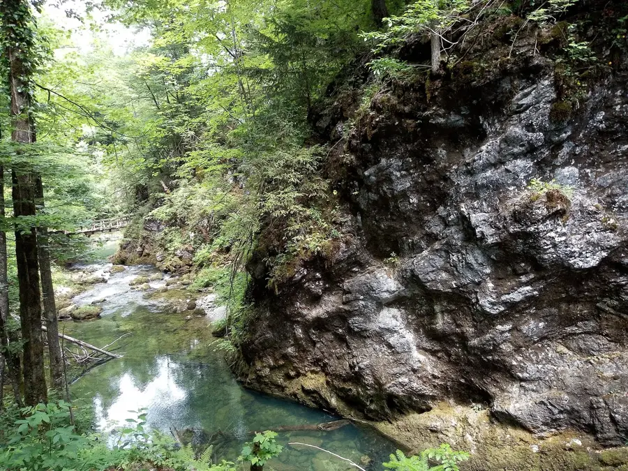
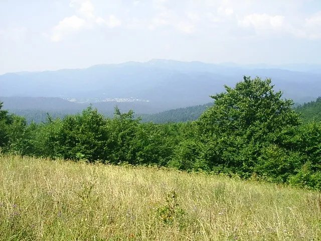
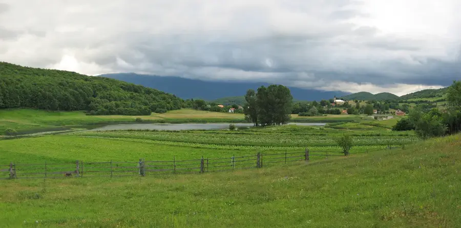
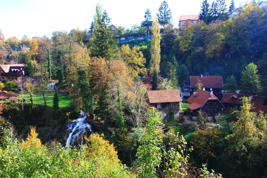
The Kamačnik Canyon near Vrbovsko in the Gorski Kotar region is one of Croatia's most significant natural monuments, protected since 1963. The protected landscape stretches approximately three kilometers from the source of the Kamačnik stream to its confluence with the Dobra River. The hiking trail through the canyon was constructed in 1961, featuring numerous wooden bridges and galleries built directly onto the steep rock faces. Geologically, the area is characterized by karst phenomena and dense mixed forests of beech, fir, and spruce. The source of the Kamačnik is located in a deep, bluish karst cave at the end of the trail, the exact depth of which remains a subject of ongoing speleological research. The area serves as a vital ecosystem for many protected plant and animal species of the mountain region. Today, the canyon stands as a prime example of sustainable tourism in Croatia, attracting visitors with its well-preserved infrastructure and the characteristic flora of Gorski Kotar.
- Location: Croatia
- Top sights: Xylophone · megaphone · Kamačnik
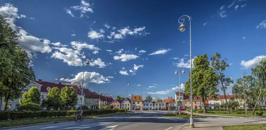
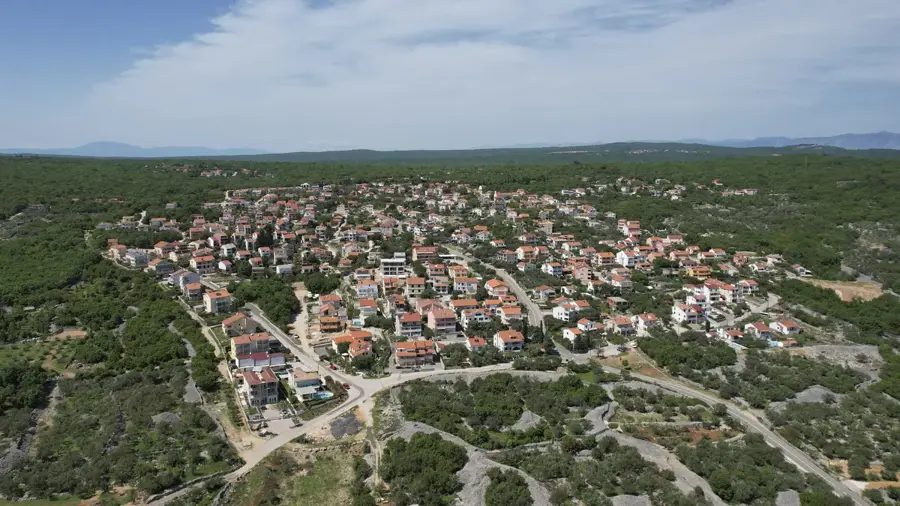
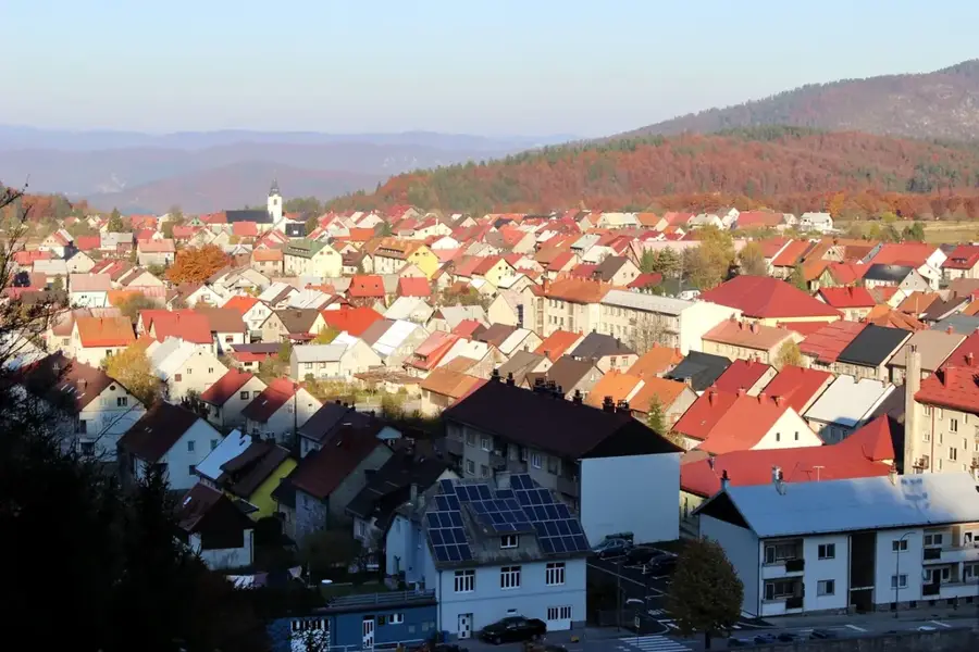
- Nearby: Gomirje (5 km)
Best time to visit & climate
The most pleasant time to visit is Jun–Aug.
| Jan | Feb | Mar | Apr | May | Jun | Jul | Aug | Sep | Oct | Nov | Dec | |
|---|---|---|---|---|---|---|---|---|---|---|---|---|
| Avg °C | -1 | 0 | 4 | 9 | 14 | 18 | 20 | 20 | 14 | 10 | 5 | 0 |
| Rain mm | 85 | 99 | 85 | 95 | 114 | 93 | 80 | 97 | 140 | 124 | 135 | 105 |
📋 Practical info
Geography
Facts
- Length of the hiking trail: 3.2 kilometers
- Year of protection status: 1963
- Year of first bridge construction: 1961
- Region: Gorski Kotar near Vrbovsko
- Confluence with the Dobra River
- Elevation gain of the route: approx. 100 meters
Explore nearby
Notable places around
Route planner — Car & Motorhome
Where do you start? We build the route here, with stops and country notes along the way.
© OpenStreetMap contributors · OpenRouteService
Sights in the town KamaÄnik Canyon (3)
Sights nearby
Frequently asked questions
How long is the hiking trail through Kamačnik canyon?
Is the trail difficult?
Where is the canyon located?
Is there a restaurant there?
What is at the end of the trail?
KamaÄnik Canyon: where is it located?
KamaÄnik Canyon: what is there to see?
KamaÄnik Canyon: when is the best time to visit?
KamaÄnik Canyon: why is it worth visiting?

Nearby cities