Plizio Visual Lab
Red Lake (Imotski)
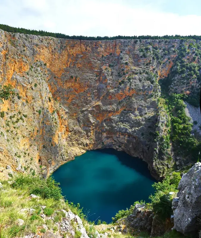
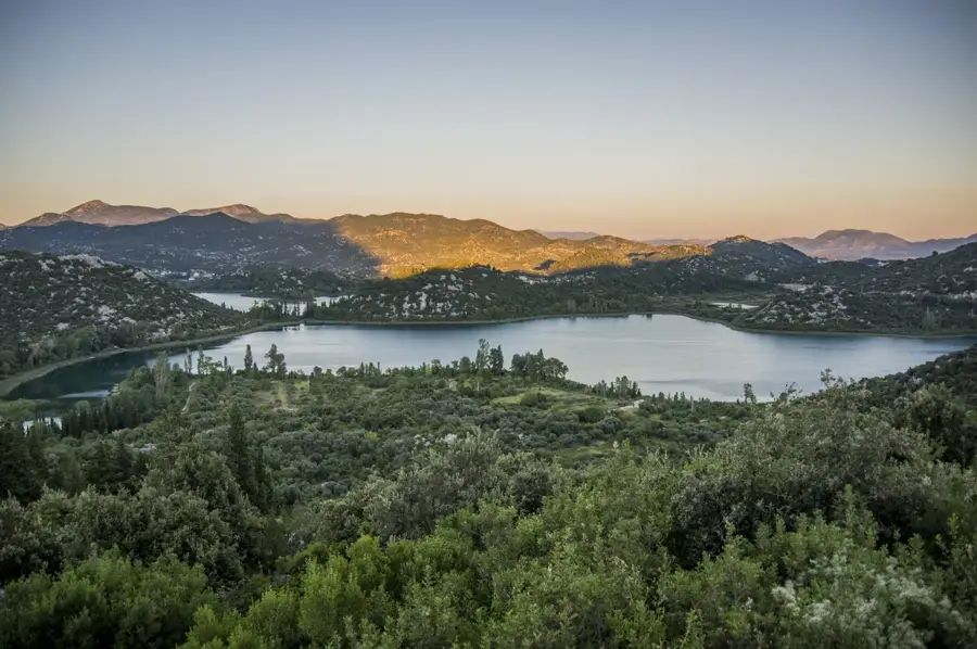
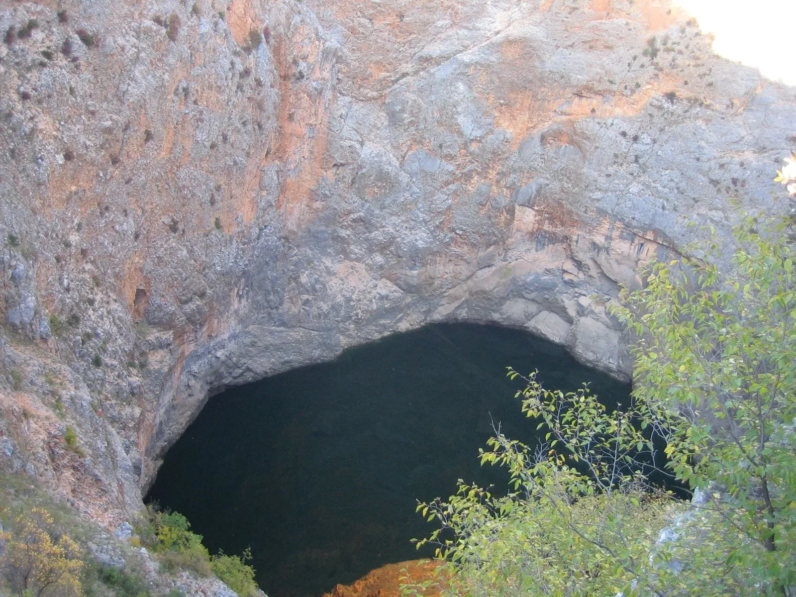
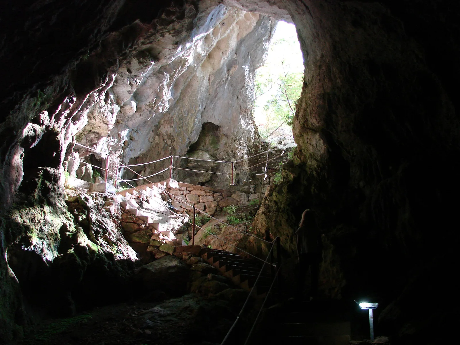
Red Lake (Crveno jezero) near Imotski is globally recognized as one of the deepest water-filled karst sinkholes, offering a wide-open display of geological forces. The total depth of the sinkhole from the surrounding rim to the very bottom is approximately 530 meters, with the water column itself often exceeding 280 meters in depth. It derives its name from the distinctive reddish-brown color of the surrounding limestone cliffs, which are tinted by iron oxides present in the rock. As the bottom of the lake lies below sea level, it is categorized as a cryptodepression, making it a site of significant interest for hydrogeological research. Due to the nearly vertical and dangerous cliffs, the lake is inaccessible to the general public, though it can be viewed from a safe observation platform on the rim. Scientific explorations have identified unique endemic species such as the Imotski gudgeon (Delminichthys adspersus) living within its depths. The sinkhole was likely formed by the collapse of an enormous underground cavern system triggered by tectonic movements.
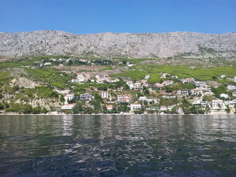
- Location: Croatia
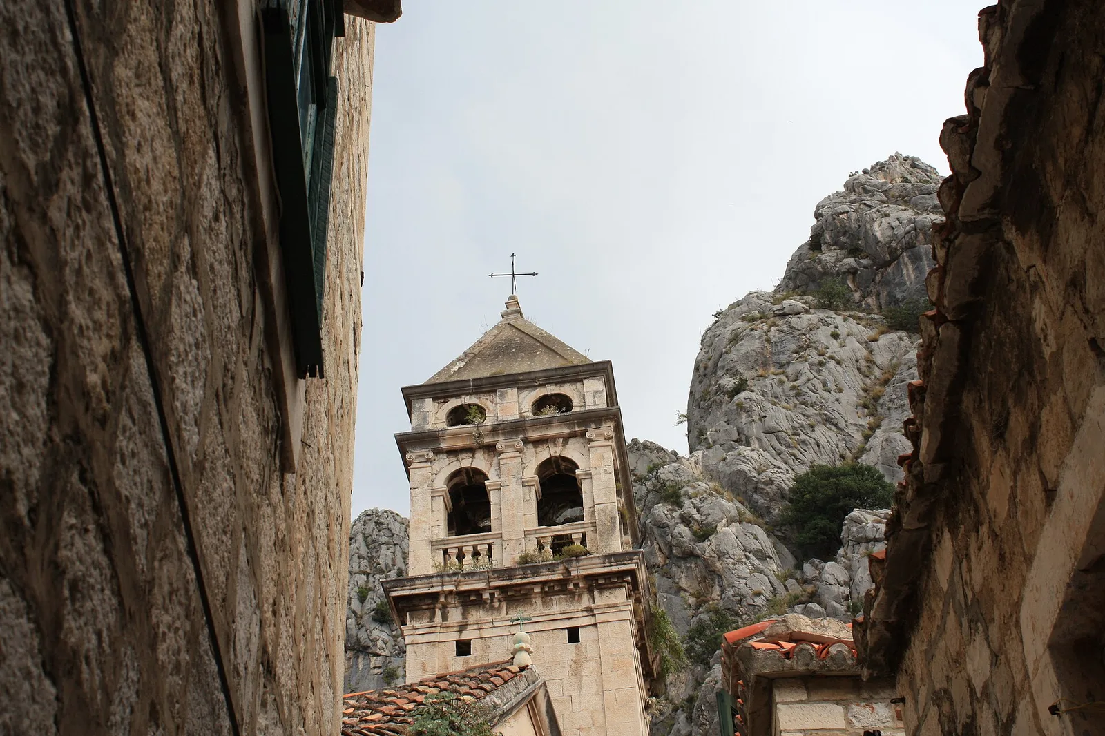
- Top sights: Ilirska gomila (Illyrian stone pile) · Viewpoint Modro Jezero · Tvrđava Topana
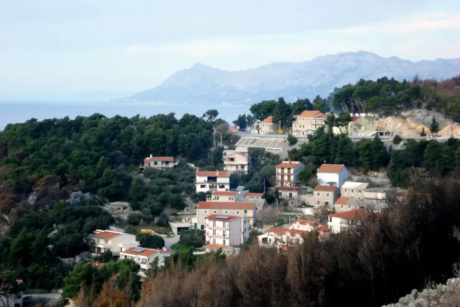
- Nearby: Grubine (4 km)
Best time to visit & climate
The most pleasant time to visit is Jun–Aug.
| Jan | Feb | Mar | Apr | May | Jun | Jul | Aug | Sep | Oct | Nov | Dec | |
|---|---|---|---|---|---|---|---|---|---|---|---|---|
| Avg °C | 3 | 4 | 7 | 11 | 15 | 20 | 24 | 24 | 18 | 13 | 9 | 4 |
| Rain mm | 93 | 88 | 80 | 68 | 57 | 50 | 28 | 38 | 80 | 87 | 123 | 117 |
📋 Practical info
Geography
Facts
- The total depth of the sinkhole reaches a staggering 530 meters.
- Maximum water depth has been measured at approximately 287 meters.
- The bottom of the lake is 6 meters below sea level (cryptodepression).
- Reddish cliff colors are caused by a high concentration of iron oxides.
- It is home to the endemic spotted minnow (Delminichthys adspersus).
- It is one of the largest and deepest karst sinkholes on Earth.
Explore nearby
Notable places around
Route planner — Car & Motorhome
Where do you start? We build the route here, with stops and country notes along the way.
© OpenStreetMap contributors · OpenRouteService
Sights in the town Red Lake (Imotski) (5)
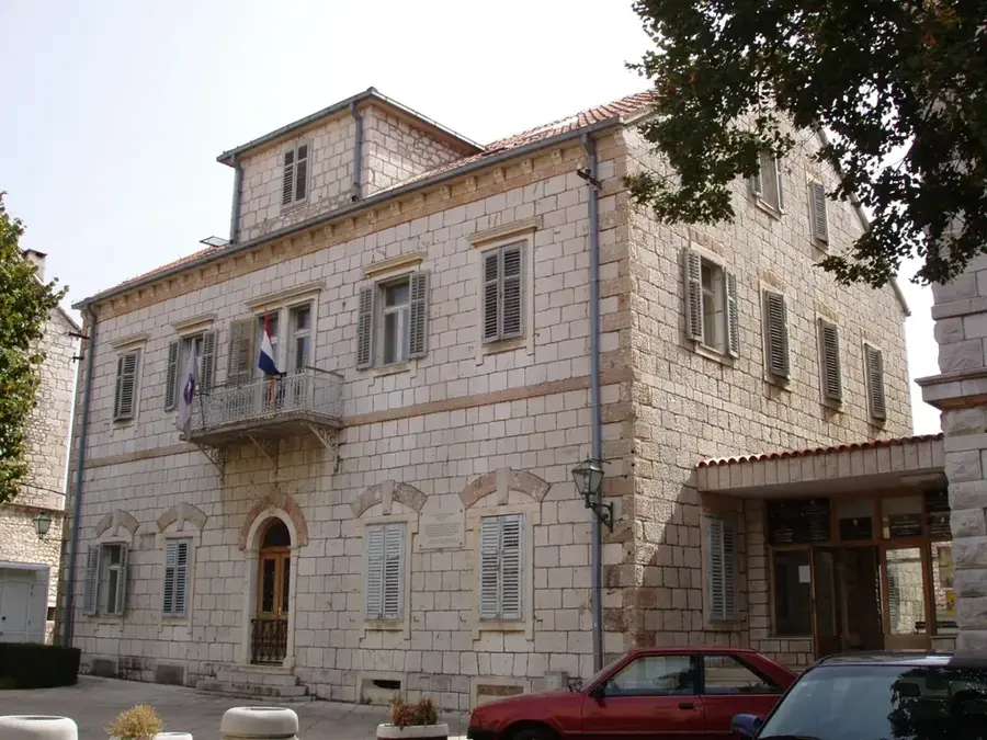
Zavičajni muzej Imotski🏛 museum
Regional museum in Imotski with exhibits on local history and culture.
Sights nearby
Frequently asked questions
Can you swim in the Red Lake?
Why is it called the Red Lake?
How deep is the Red Lake?
Can you throw a stone into the lake?
How was the lake formed?
Red Lake (Imotski): where is it located?
Red Lake (Imotski): what is there to see?
Red Lake (Imotski): when is the best time to visit?
Red Lake (Imotski): why is it worth visiting?

Nearby cities