Plizio Visual Lab
Blue Lake (Imotski)
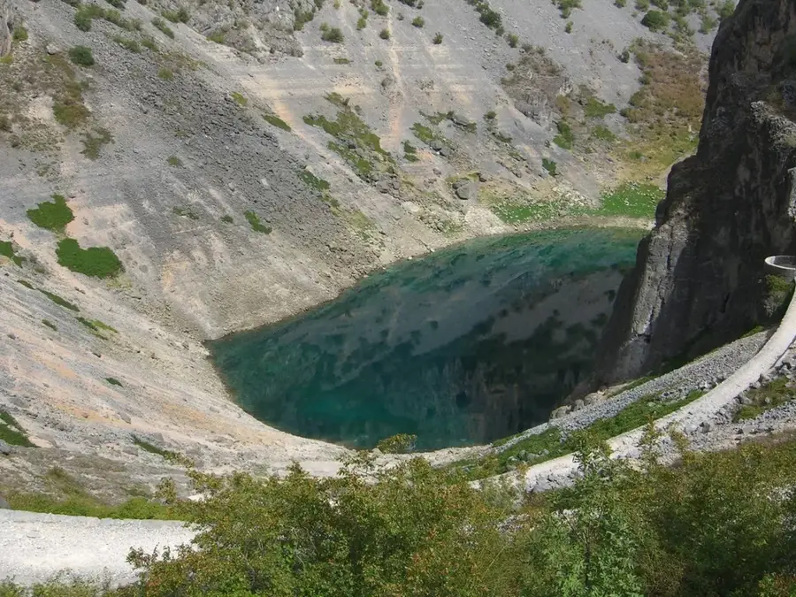
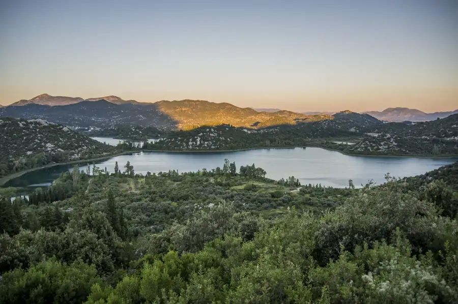
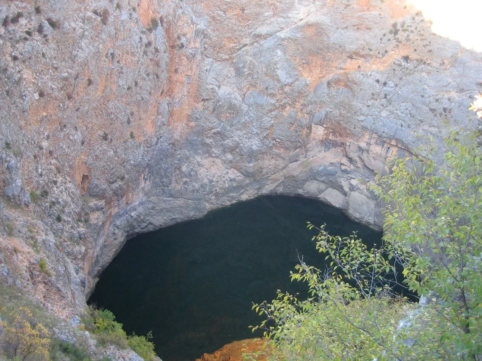
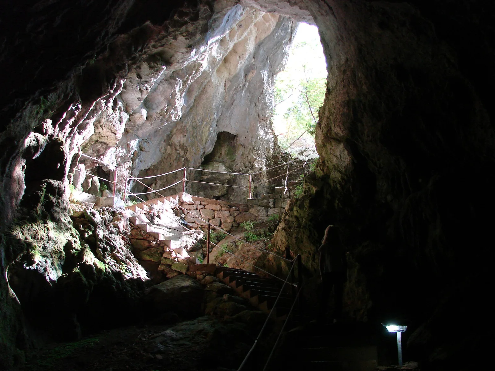
Blue Lake (Modro jezero) is situated on the outskirts of Imotski and stands as one of Croatia's most impressive karst phenomena, located within a deep sinkhole. The water level of the lake fluctuates significantly throughout the year, with depths reaching over 90 meters during wet seasons. In periods of extreme drought, the lake can dry up completely, leading to a local tradition where residents play a football match on its flat, gravelly bottom. The surrounding limestone cliffs rise approximately 200 meters above the water surface, creating a dramatic natural amphitheater that frames the city. The water is renowned for its spirited blue hue, which is a result of light scattering and the exceptional clarity of the filtered karst water. Geologically, the lake was formed by the collapse of a massive underground cavern system thousands of years ago. A series of stone serpentine paths built in 1907 allows visitors to descend to the water for swimming and recreation during the hot summer months.
- Location: Croatia
- Top sights: Tvrđava Topana · Stadion Gospin dolac · Viewpoint Modro Jezero
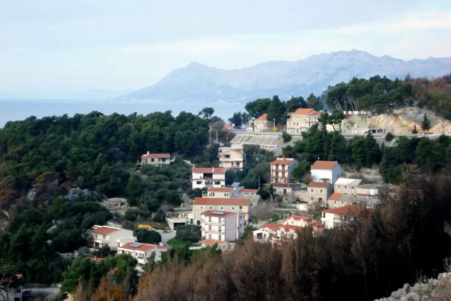
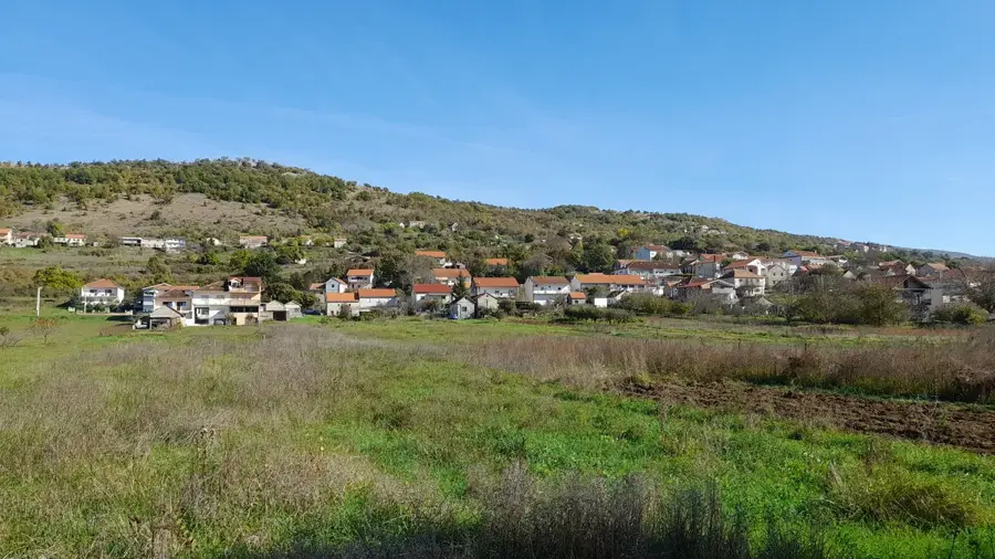
- Nearby: Zmijavci (4 km)
Best time to visit & climate
The most pleasant time to visit is Jun–Aug.
| Jan | Feb | Mar | Apr | May | Jun | Jul | Aug | Sep | Oct | Nov | Dec | |
|---|---|---|---|---|---|---|---|---|---|---|---|---|
| Avg °C | 3 | 4 | 7 | 11 | 15 | 20 | 24 | 24 | 18 | 13 | 9 | 4 |
| Rain mm | 93 | 88 | 80 | 68 | 57 | 50 | 28 | 38 | 80 | 87 | 123 | 117 |
📋 Practical info
Geography
Facts
- The lake's depth fluctuates between 0 and over 90 meters annually.
- Surrounding limestone walls rise 200 meters above the water level.
- The stone serpentine access path was constructed in the year 1907.
- Locals play a traditional football match when the lake dries up completely.
- It is part of the Biokovo-Imotski Lakes UNESCO Global Geopark.
- The lake was formed by the collapse of a massive prehistoric cave roof.
Explore nearby
Notable places around
Route planner — Car & Motorhome
Where do you start? We build the route here, with stops and country notes along the way.
© OpenStreetMap contributors · OpenRouteService
Sights in the town Blue Lake (Imotski) (5)
Ilirska gomila (Illyrian stone pile)
Illyrian stone mound, archaeological site near Imotski.
Sights nearby
Frequently asked questions
Can you swim in the Blue Lake?
Does the lake ever dry up?
How deep is the Blue Lake?
Is there easy access to the water?
Where is the lake located?
Blue Lake (Imotski): where is it located?
Blue Lake (Imotski): what is there to see?
Blue Lake (Imotski): when is the best time to visit?
Blue Lake (Imotski): why is it worth visiting?

Nearby cities