Plizio Visual Lab
Krupa River
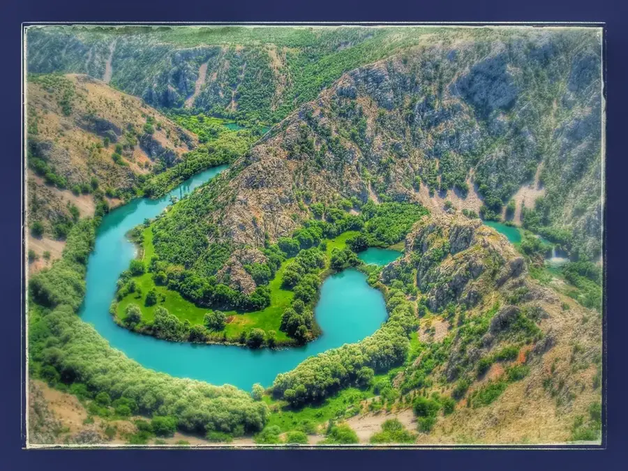
The Krupa River is a short but remarkably beautiful tributary of the Zrmanja River, located at the southern foothills of the Velebit mountain range. Despite being only 7 kilometers long, the river features a spectacular landscape with 19 waterfalls and numerous tufa cascades. Its most famous landmark is Kudin most (Kuda's Bridge), a historic dry-stone bridge with 12 arches built in the late 18th century by a local man named Kuda to reach his beloved on the opposite bank. The river winds through a deep, dramatic canyon characterized by steep cliffs and lush vegetation, providing wide-open views for hikers. The water of the Krupa is crystal clear and of drinking quality, which allows for the continuous formation of travertine barriers that create its signature stepped waterfalls. Near the river's source lies the Krupa Monastery, founded in 1317, which stands as a significant cultural and religious monument with ancient frescoes. This untouched natural area is part of the Velebit Nature Park and has a sanctuary for diverse wildlife and rare plant species.
- Location: Croatia
- Top sights: Kudin Most · Vidikovac Krnjeza · Trebačnik
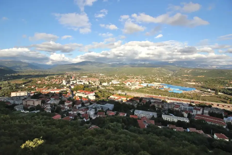
- Nearby: Kaštel Žegarski (4 km)
Best time to visit & climate
The most pleasant time to visit is Jun–Aug.
| Jan | Feb | Mar | Apr | May | Jun | Jul | Aug | Sep | Oct | Nov | Dec | |
|---|---|---|---|---|---|---|---|---|---|---|---|---|
| Avg °C | 1 | 2 | 6 | 10 | 15 | 19 | 22 | 22 | 17 | 12 | 8 | 3 |
| Rain mm | 91 | 86 | 74 | 70 | 69 | 59 | 39 | 52 | 95 | 94 | 125 | 110 |
📋 Practical info
Geography
Facts
- The river spans only 7 kilometers but hosts 19 distinct waterfalls.
- Kudin most is a 12-arch stone bridge built without mortar around 1789.
- The Krupa Monastery near the source was established in the year 1317.
- It is the largest and most significant tributary of the Zrmanja River.
- The river is situated within the protected Velebit Nature Park.
- The tufa barriers in the river are sensitive and ecologically vital.
Explore nearby
Notable places around
Route planner — Car & Motorhome
Where do you start? We build the route here, with stops and country notes along the way.
© OpenStreetMap contributors · OpenRouteService
Sights in the town Krupa River (3)
Sights nearby
Frequently asked questions
What is Kudin most?
Can you hike to the Krupa River?
Is there a monastery by the river?
Can you swim in the river?
What is the difficulty of the hike?
Krupa River: where is it located?
Krupa River: what is there to see?
Krupa River: when is the best time to visit?
Krupa River: why is it worth visiting?

Nearby cities