Plizio Visual Lab
Gornji Bitelić
ℹ️Practical info — Gornji Bitelić
▾
🌤 Weather — 5 days
📍 Nearby
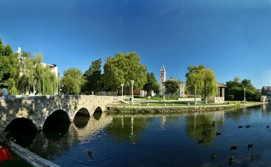
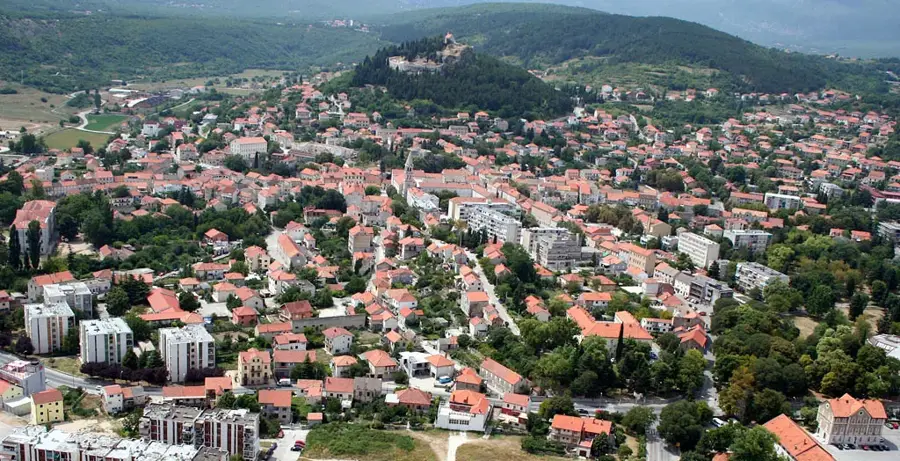
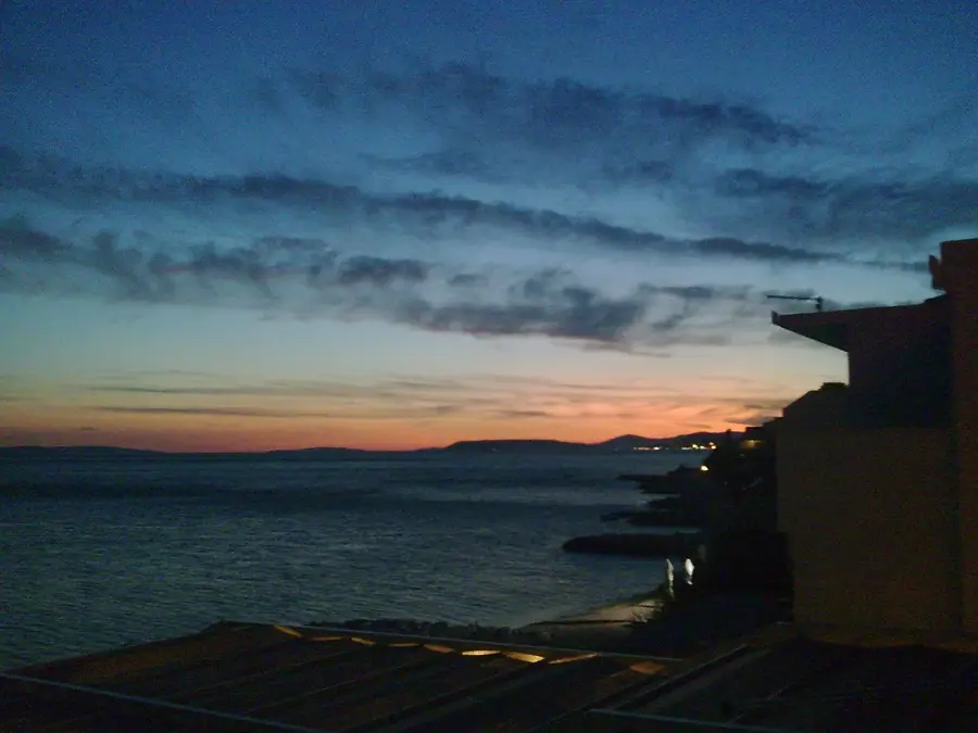
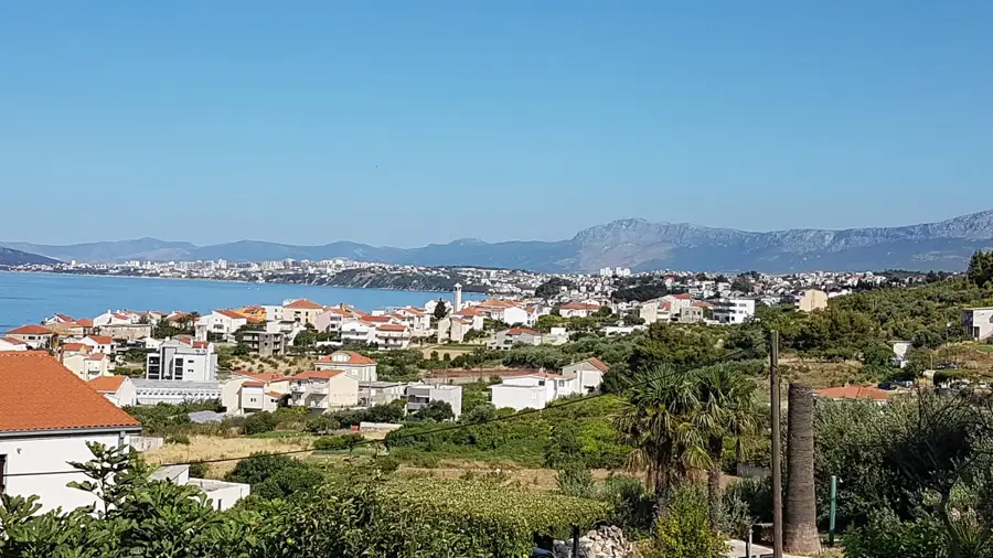
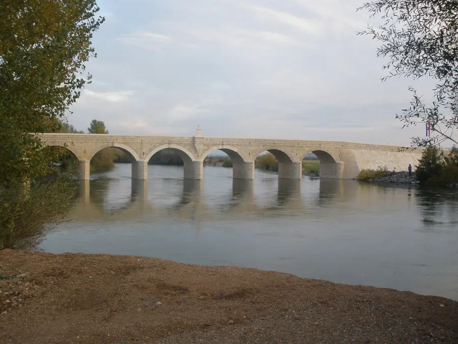
Sights nearby
💡 Tips
- Bring hiking boots, as the trails heading towards the Dinara mountain range are rugged and uneven.
- Buy your groceries in Sinj before arriving, as local shopping options in the village are very limited.
- Rent a kayak or paddleboard to explore Lake Peruća during the calm morning hours.
- Cell phone reception can be patchy at the foot of the mountain, so be sure to download offline maps.
🍽 Food
Fried dough pieces typical of the region, served in traditional taverns around Sinj.
Fresh fish from the nearby river, a must-try in the local konobas.
Slow-cooked meat and vegetables under a bell; you need to order this in advance at traditional restaurants.
🛍 Shopping · 🧘 Quiet spots
Keep an eye out for roadside signs where locals sell their own homemade honey.
Ask local farmers if they are selling fresh sheep or cow cheese.
Find a secluded spot along the lake for a peaceful, uninterrupted picnic.
Quiet paths that are well-suited for bird watching and enjoying untouched nature.
Water temperature…
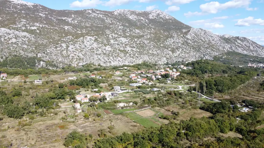
Gornji Bitelić is situated in an impressive landscape between the majestic Dinara mountains and the sparkling Lake Peruća. This area in the Dalmatian hinterland, near the town of Sinj, is a quiet find for adventurers and nature lovers. The village is a good starting point for hikes to the summit of Dinara, the highest mountain in Croatia. The history of the village is closely linked to life in the karst mountains. Traditional stone houses and dry-stone walls bear witness to the hard work of ancestors. Nearby are the sources of the Cetina and Ruda rivers, which impress with their crystal-clear, cold water. The untouched flora and fauna of the region are particularly interesting for botanists and birdwatchers. Lake Peruća features opportunities for fishing, rowing, and swimming in the summer months. It is a place of total silence, far from any industrial influences. Local gastronomy is famous for 'Sinjski Arambaši' and trout dishes from the surrounding mountain streams. Access is usually via Sinj. The road winds through pretty gorges and gives spectacular views of the valley. Gornji Bitelić is the place to get to know the wild side of Dalmatia, where the mountains meet the sky.
- Location: Croatia
- Nearby: Hrvace (6 km)
- Population: ~140
Best time to visit & climate
The most pleasant time to visit is Jun–Aug.
| Jan | Feb | Mar | Apr | May | Jun | Jul | Aug | Sep | Oct | Nov | Dec | |
|---|---|---|---|---|---|---|---|---|---|---|---|---|
| Avg °C | 1 | 2 | 6 | 10 | 15 | 19 | 22 | 22 | 17 | 12 | 8 | 3 |
| Rain mm | 91 | 86 | 74 | 70 | 69 | 59 | 39 | 52 | 95 | 94 | 125 | 110 |
Geography
Facts
- At the foot of Dinara
- Near Lake Peruća
- Hiking region
- River sources nearby
- Wild horses observable
- Karst cave area
- Homemade pršut
- Highest peak in Croatia
Explore nearby
Notable places around
Route planner — Car & Motorhome
Where do you start? We build the route here, with stops and country notes along the way.
© OpenStreetMap contributors · OpenRouteService
Frequently asked questions
Where is Gornji Bitelić?
What can you do in Gornji Bitelić?
How far is Lake Peruća?
Is the place suitable for families?
Are there historical sites nearby?
Gornji Bitelić: where is it located?
Gornji Bitelić: when is the best time to visit?
Gornji Bitelić: why is it worth visiting?

Nearby cities