Plizio Visual Lab
Ngatangiia Mangroves

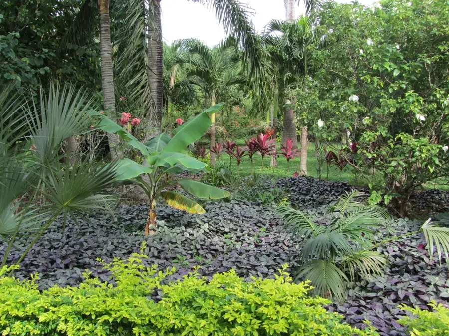
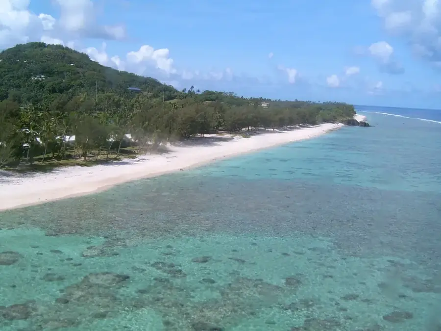
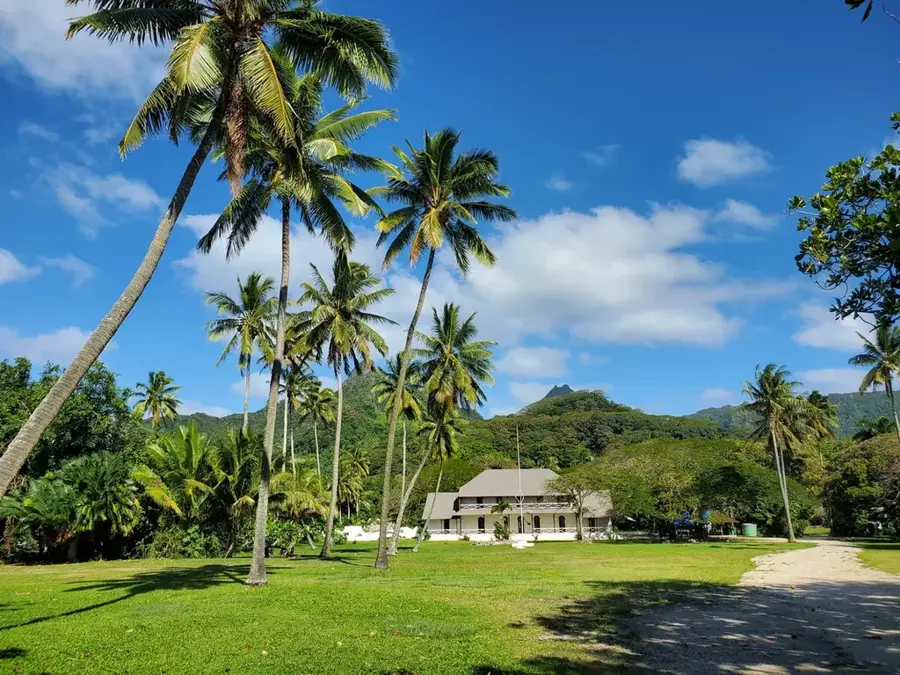
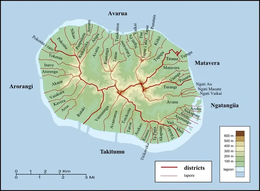
Located on the eastern coast of Rarotonga near Ngatangiia Harbor, these mangroves form a vital ecological buffer for the sensitive Muri Lagoon. This brackish water system functions as a natural filtration unit, trapping sediment and nutrients from land runoff before they can reach and damage the offshore coral reefs. The dense network of aerial roots provides a protected nursery for various fish larvae and a habitat for specialized crustaceans like fiddler crabs and mudskippers. Beyond its biodiversity, the wetland is essential for coastal stability, as the trees anchor the shoreline and dissipate wave energy during heavy storms. For visitors, the area features a chance to observe a unique intersection of land and sea, where the intricate root systems are most visible at low tide, highlighting the mangroves' role in maintaining the island's environmental balance.
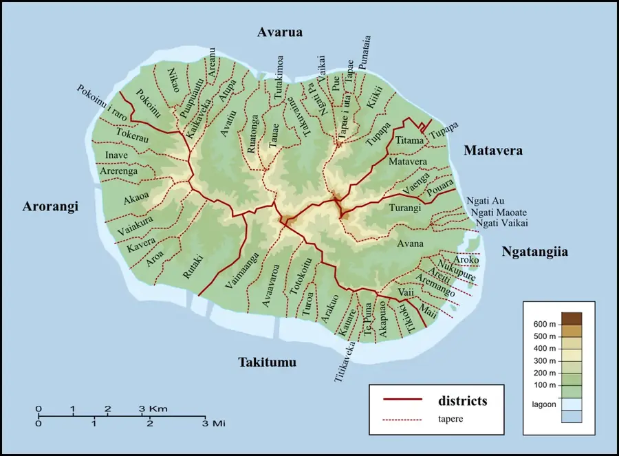
- Location: Cook Islands
- Top sights: Arore · Te Vara Nui Village · Captain Tamas Lagoon Cruizes
- Nearby: Avarua (7 km)
Best time to visit & climate
The most pleasant time to visit is Jun–Aug.
| Jan | Feb | Mar | Apr | May | Jun | Jul | Aug | Sep | Oct | Nov | Dec | |
|---|---|---|---|---|---|---|---|---|---|---|---|---|
| Avg °C | 26 | 27 | 27 | 26 | 25 | 24 | 23 | 23 | 23 | 23 | 24 | 25 |
| Rain mm | 185 | 197 | 187 | 158 | 133 | 62 | 84 | 66 | 86 | 92 | 147 | 177 |
📋 Practical info
Geography
Facts
- Area: 10 ha.
- Dominant species: Rhizophora stylosa.
- Boardwalk length: 1.5 km.
- Mangrove height: 3–5 m.
- Annual sediment deposition: 2 cm.
- Cleanup frequency: monthly.
Explore nearby
Notable places around
Route planner — Car & Motorhome
Where do you start? We build the route here, with stops and country notes along the way.
© OpenStreetMap contributors · OpenRouteService
Sights in the town Ngatangiia Mangroves (10)
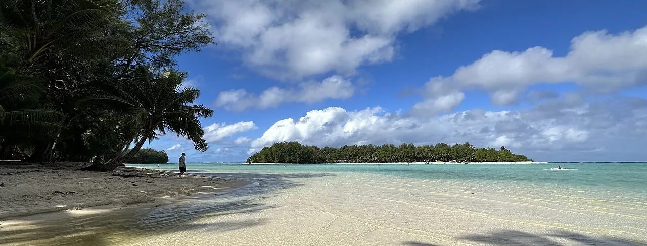
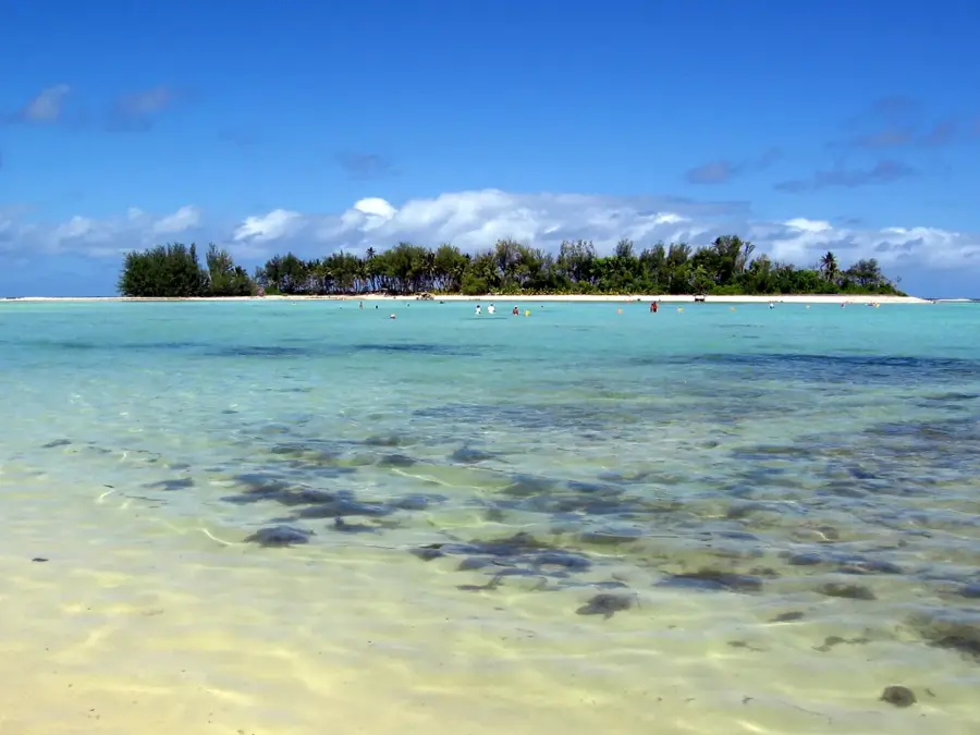
Muri Lagoon
Shallow lagoon with white sandbanks, popular for snorkeling and kayaking.
Ngatangiia CICC Church
Cook Islands Christian Church in Ngatangiia village, painted white.
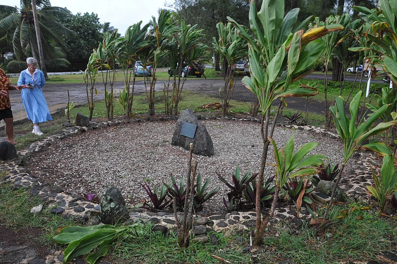
7 Canoes
Monument on Muri Beach, commemorating the seven canoes of the first settlers.
Marae No Pa Ariki
Ruins of a traditional Polynesian ceremonial platform near Avarua.
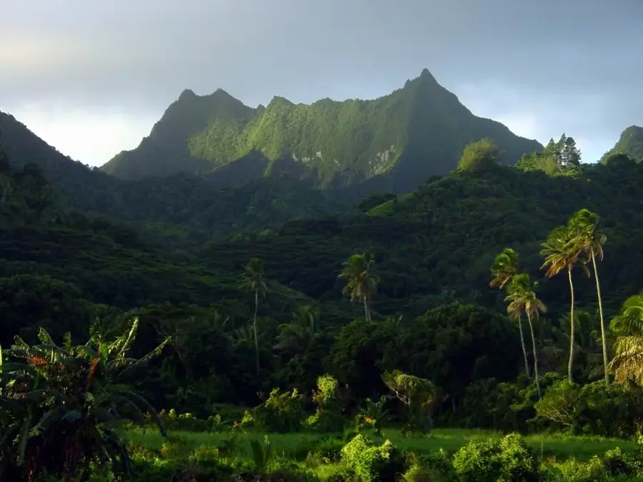
Te Tanga
Mountain on Rarotonga, forested peak in the island's interior.
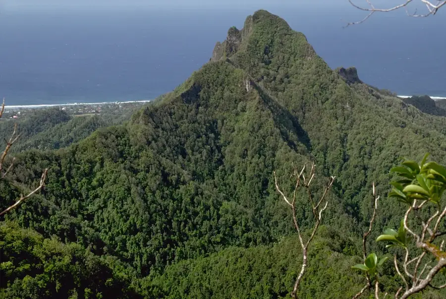
Toroume
Mountain on Rarotonga, part of the central mountain ridge.
Sights nearby
Frequently asked questions
What role do the mangroves play for the ecosystem?
Can the mangroves be explored by kayak?
Where are the most mangroves found on Rarotonga?
Are there mosquitoes in the mangroves?
Is the water there suitable for swimming?
Ngatangiia Mangroves: where is it located?
Ngatangiia Mangroves: what is there to see?
Ngatangiia Mangroves: when is the best time to visit?
Ngatangiia Mangroves: why is it worth visiting?

Nearby cities


History & landmarks
Nature

More places