Plizio Visual Lab
Mount Mfiti

Weather…
Water temperature…
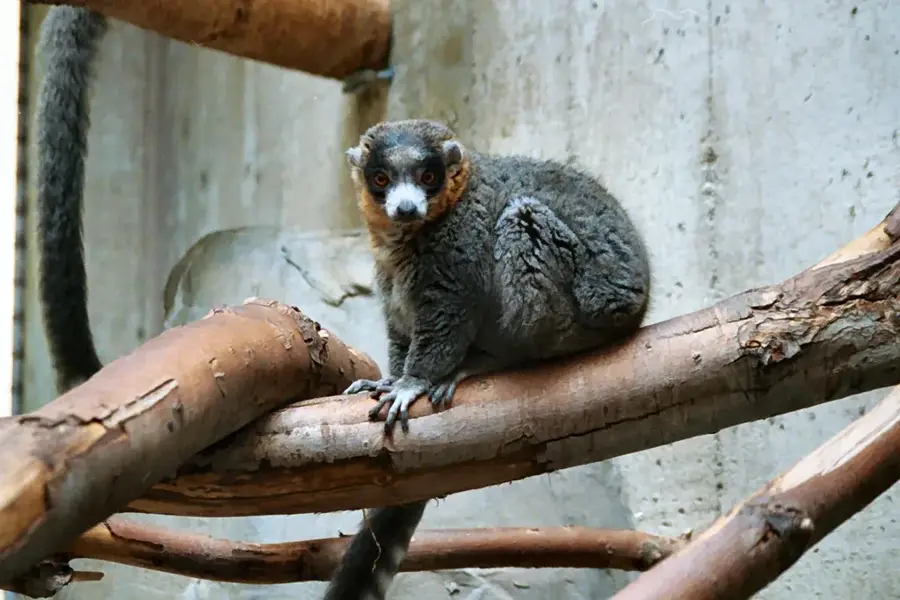
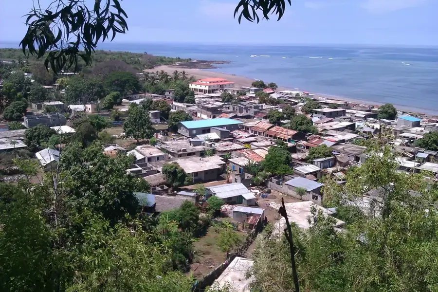
Mount Mfiti (also known as Ntingui) is the highest peak on the island of Anjouan (Ndzuani), reaching an elevation of approximately 1,595 meters above sea level. This mountain serves as the geographic heart of the island and plays a critical role in determining local weather patterns and ensuring water security. Its slopes are blanketed in dense, often cloud-shrouded rainforest that supports a massive range of biological diversity, including many plant and animal species found nowhere else on Earth. Geologically, Mount Mfiti is an extinct volcano whose nutrient-rich soils provide the foundation for its lush greenery. For conservationists, the mountain is of vital importance as it hosts some of the last remaining refuges for the Livingstone's fruit bat and other critically endangered species. Treks to the summit offer spectacular panoramic views over the entire island, and on clear days, visibility extends to the neighboring islands of Mohéli and Mayotte. The steep ascent takes hikers through distinct vegetation zones, from agricultural lands at the base to pristine cloud forests at higher altitudes. Protecting this ecosystem is essential for preserving the watersheds that supply drinking water to nearly the entire island population.
- Location: Comoros
- Top sights: Djoièzi · Siry-ziroudani
- Nearby: Wanani (5 km)
Best time to visit & climate
The most pleasant time to visit is Jul–Sep.
| Jan | Feb | Mar | Apr | May | Jun | Jul | Aug | Sep | Oct | Nov | Dec | |
|---|---|---|---|---|---|---|---|---|---|---|---|---|
| Avg °C | 28 | 28 | 28 | 28 | 27 | 26 | 25 | 25 | 25 | 26 | 27 | 28 |
| Rain mm | 221 | 156 | 140 | 99 | 45 | 30 | 25 | 17 | 14 | 24 | 42 | 96 |
📋 Practical info
Geography
Facts
- Highest peak on Anjouan Island, standing at 1,595 meters.
- Home to the crater lake Lac Dzialandzé at an elevation of 900 meters.
- The mountain serves as the source for over 40 rivers and streams on Anjouan.
- Average summit temperatures are significantly lower than those at sea level.
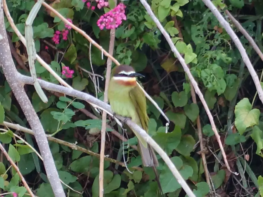
- Critical habitat for the endemic Anjouan White-eye bird species.
- The steep slopes exhibit inclines reaching up to 45 degrees.
Explore nearby
Notable places around
Route planner — Car & Motorhome
Where do you start? We build the route here, with stops and country notes along the way.
© OpenStreetMap contributors · OpenRouteService
Sights in the town Mount Mfiti (2)
Sights nearby
Frequently asked questions
Where is Mount Mfiti?
How high is Mount Mfiti?
Are there hiking trails to the summit?
Do I need a guide?
What can you see from the summit?
Mount Mfiti: where is it located?
Mount Mfiti: what is there to see?
Mount Mfiti: when is the best time to visit?
Mount Mfiti: why is it worth visiting?

Nearby cities


History & landmarks

Nature

More places