Plizio Visual Lab
Aguachica
ℹ️Practical info — Aguachica
▾
🌤 Weather — 5 days
📍 Nearby
Sights nearby
💡 Tips
- Stay hydrated, as the climate is very hot year-round; evenings are the best time to explore the main square.
- It's a major logistical hub on the Ruta del Sol, so expect heavy truck traffic on the main highways.
- Keep small cash for street vendors selling fresh fruit juices.
- Taxis are common and cheap, but agree on the fare beforehand.
🍽 Food
A thin, stuffed corn cake found in local bakeries and street stalls.
A hearty chicken soup, best enjoyed in traditional restaurants near the market.
A refreshing local juice made from palm berries.
🛍 Shopping · 🧘 Quiet spots
Great for fresh tropical fruits and regional cheeses.
Look for small woven goods in the center.
A beautiful natural reserve with water springs, excellent for a peaceful walk.
Provides a panoramic view of the city and valley, especially at sunrise.
Water temperature…
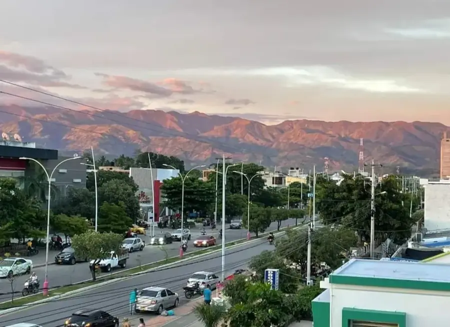
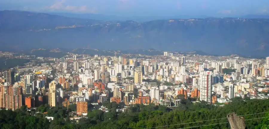
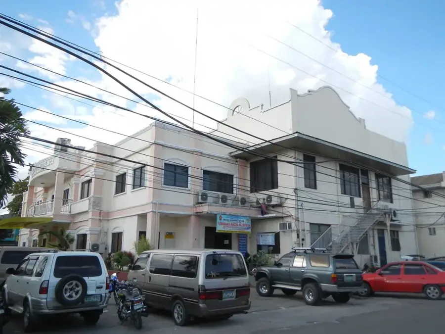
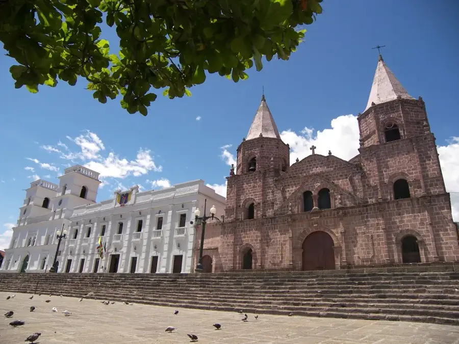
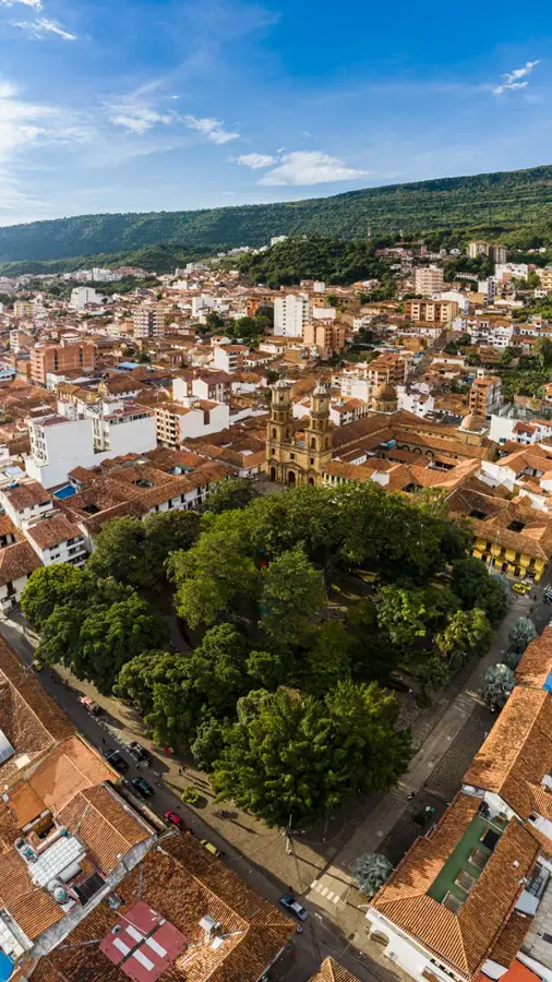
Aguachica, the second-largest city in the Cesar department, is a vital strategic and logistical hub in northeastern Colombia. Officially founded in 1748 by José Lázaro de Rivera, the city's development has been closely tied to its location along the major transport corridors connecting the Caribbean coast with the Colombian interior. The local economy is driven by a powerful agro-industrial sector, focusing on oil palm, rice, and cotton cultivation, along with extensive cattle ranching. Aguachica serves as a critical transit point for cargo moving along the 'Troncal del Magdalena' highway, making it an essential commercial crossroads. Culturally, the city maintains animated traditions, most notably the annual festivities in honor of its patron saint, San Roque. The surrounding landscape is defined by the fertile lowlands of the Magdalena River valley, providing a rich base for agricultural productivity and biodiversity. In recent years, the city has undergone significant modernization, expanding its role as a regional provider of services and infrastructure. The people of Aguachica are known for their entrepreneurial drive, helping the city maintain its status as a dynamic engine of regional economic growth.
- Location: Colombia
- Top sights: Sal[on del Reino de los Testigos de Jehová · Divino Amor
- Nearby: Ocaña (29 km)
- Population: ~97.525 (2022)
Best time to visit & climate
The most pleasant time to visit is Jan, Feb, Dec.
| Jan | Feb | Mar | Apr | May | Jun | Jul | Aug | Sep | Oct | Nov | Dec | |
|---|---|---|---|---|---|---|---|---|---|---|---|---|
| Avg °C | 27 | 28 | 28 | 27 | 27 | 27 | 28 | 27 | 27 | 25 | 25 | 26 |
| Rain mm | 30 | 35 | 70 | 104 | 122 | 87 | 93 | 98 | 100 | 138 | 128 | 63 |
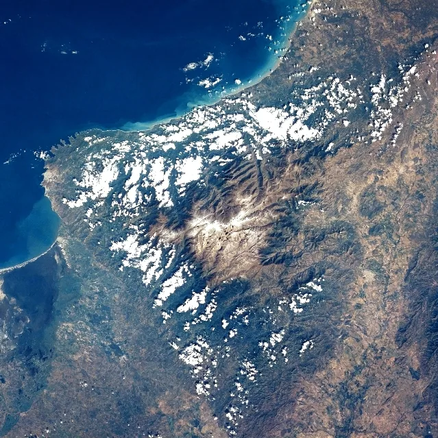
Geography
Facts
- Aguachica was founded on August 16, 1748, by José Lázaro de Rivera.
- The city sits at an average elevation of 162 meters above sea level.
- It is a key transit node on the national 'Troncal del Magdalena' highway system.
- Oil palm production and cattle ranching are the primary economic drivers.
- The city celebrates its patron saint, San Roque, every year in mid-August.
- It serves as the main urban and commercial center for southern Cesar department.
Explore nearby
Notable places around
Route planner — Car & Motorhome
Where do you start? We build the route here, with stops and country notes along the way.
© OpenStreetMap contributors · OpenRouteService
Sights in the town Aguachica (2)
Frequently asked questions
Where is Aguachica located?
What is the city known for?
How is the weather?
What is the main festival?
Can you experience nature there?
Aguachica: where is it located?
Aguachica: what is there to see?
Aguachica: when is the best time to visit?
Aguachica: why is it worth visiting?

Nearby cities

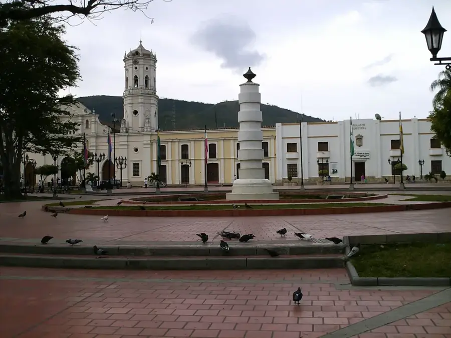

History & landmarks
More places