Plizio Visual Lab
Tierralta
ℹ️Practical info — Tierralta
▾
🌤 Weather — 5 days
📍 Nearby
Sights nearby
💡 Tips
- For visiting the Urrá dam, hire a recognized local guide to ensure a safe and informative eco-tour.
- Bring strong insect repellent and protective clothing, as the area is rich in jungle vegetation and rivers.
- Transport outside the main town is mostly by 4x4 vehicles or boats; plan your travel times accordingly.
- The local Embera Katío indigenous culture is prominent here; always ask respectfully before taking photos of people.
🍽 Food
Freshly caught fried fish, typically served in small restaurants along the river banks.
Free-range chicken soup, a hearty staple commonly found in rural eateries.
A classic side dish or snack of fermented milk and boiled cassava, found everywhere.
🛍 Shopping · 🧘 Quiet spots
Look for intricate beadwork and crafts made by the Embera Katío people in local markets.
Great for tasting and buying exotic fresh fruits sourced from the surrounding fertile lands.
The massive reservoir is surrounded by lush green hills, creating an incredibly peaceful atmosphere.
Find a quiet spot outside the main town to sit and watch the traditional wooden boats float by.
Water temperature…
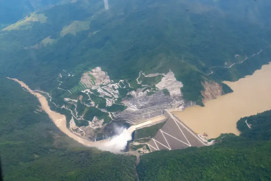
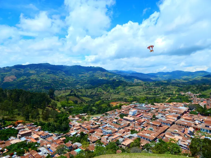
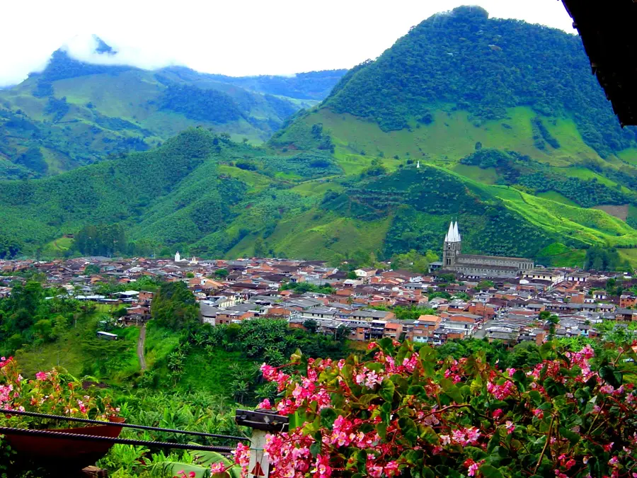
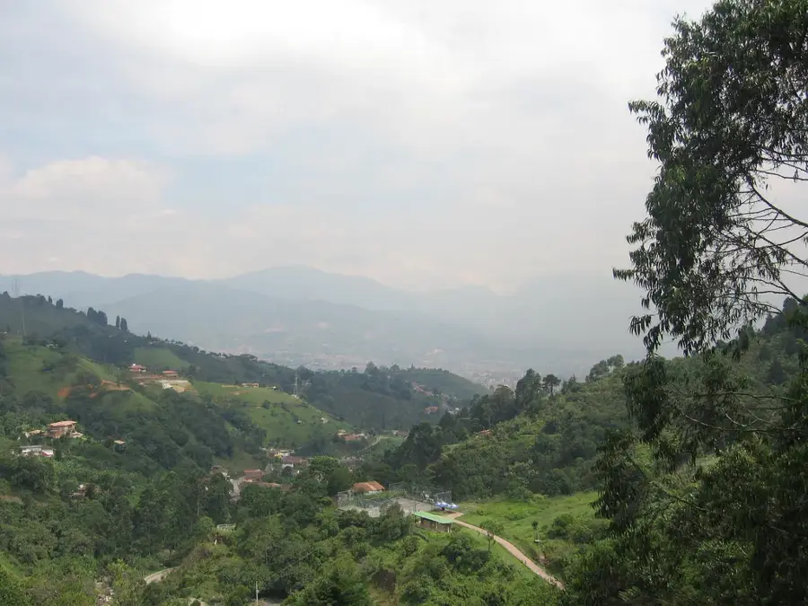
Tierralta, located in the southern portion of the Córdoba department, is a city of immense ecological and strategic importance. Founded in 1909 along the upper reaches of the Sinú River, it is surrounded by a spectacular natural landscape. The town is widely recognized as the primary gateway to the Paramillo National Natural Park, one of Colombia's largest and most biodiverse protected areas in the Western Andes. A defining feature of the region is the Urrá I hydroelectric dam, one of the country's major engineering feats, which significantly impacts the local economy and water management. Tierralta’s economy is centered on agriculture, with rice, cocoa, and bananas being the primary crops, alongside a strong cattle ranching industry. Culturally, the town has a deep connection with the Emberá-Katío indigenous communities, who reside in the surrounding territories. In recent years, Tierralta has become a focal point for sustainable development and conservation efforts aimed at protecting its vast rainforests. The town's proximity to pristine rivers and mountains has exceptional opportunities for ecotourism and scientific research. Today, Tierralta stands as a crucial hub for environmental preservation and agricultural production in northern Colombia.
- Location: Colombia
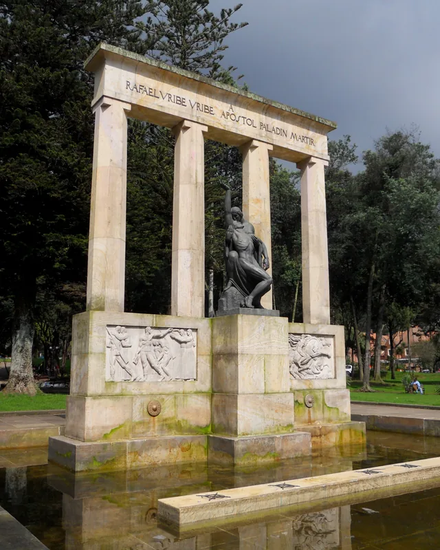
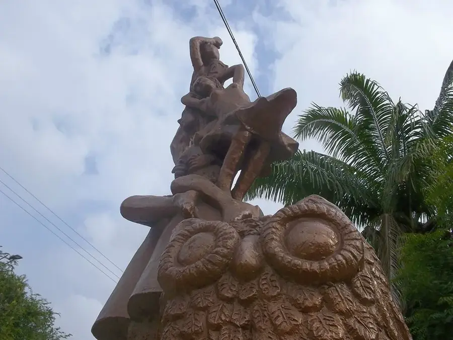
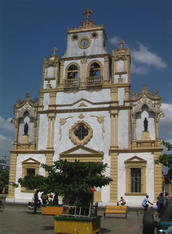
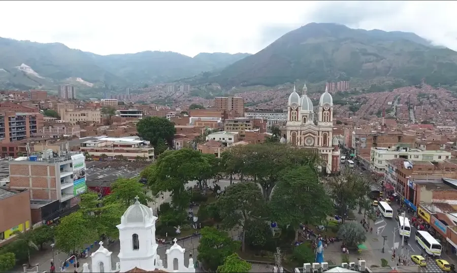
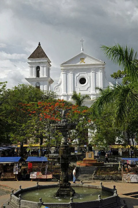
- Top sights: iglesia San jose de tierralta · Casa de Oración · San Pedro Claver
- Nearby: Cereté (35 km)
- Population: ~26.242 (2018)
Best time to visit & climate
The most pleasant time to visit is Jan–Mar.
| Jan | Feb | Mar | Apr | May | Jun | Jul | Aug | Sep | Oct | Nov | Dec | |
|---|---|---|---|---|---|---|---|---|---|---|---|---|
| Avg °C | 26 | 26 | 27 | 26 | 26 | 25 | 25 | 25 | 25 | 25 | 25 | 25 |
| Rain mm | 65 | 35 | 87 | 197 | 237 | 200 | 232 | 189 | 211 | 191 | 188 | 148 |
Geography
Facts
- Tierralta was officially founded on November 25, 1909.
- The town is located near the massive Urrá I hydroelectric dam on the Sinú River.
- It serves as the main access point for the Paramillo National Natural Park.
- The Urrá I project began commercial operations in the year 2000.
- The municipality is home to several Emberá-Katío indigenous reservations.
- Cocoa production has become a key sustainable alternative for local farmers.
Explore nearby
Notable places around
Route planner — Car & Motorhome
Where do you start? We build the route here, with stops and country notes along the way.
© OpenStreetMap contributors · OpenRouteService
Sights in the town Tierralta (5)
Frequently asked questions
What is the main attraction?
Are there indigenous cultures?
What is the geography?
How is the weather?
What to do as a tourist?
Tierralta: where is it located?
Tierralta: what is there to see?
Tierralta: when is the best time to visit?
Tierralta: why is it worth visiting?

Nearby cities


History & landmarks
More places