Plizio Visual Lab
Tchigai Plateau
Weather…
Water temperature…
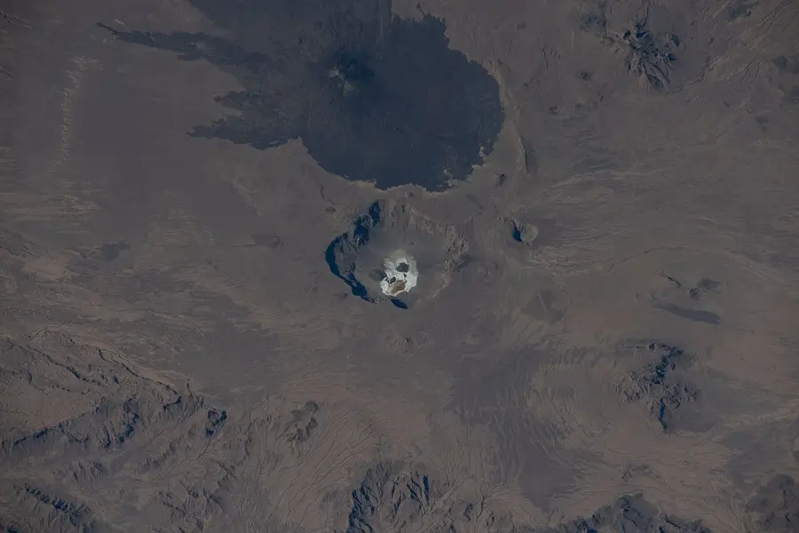
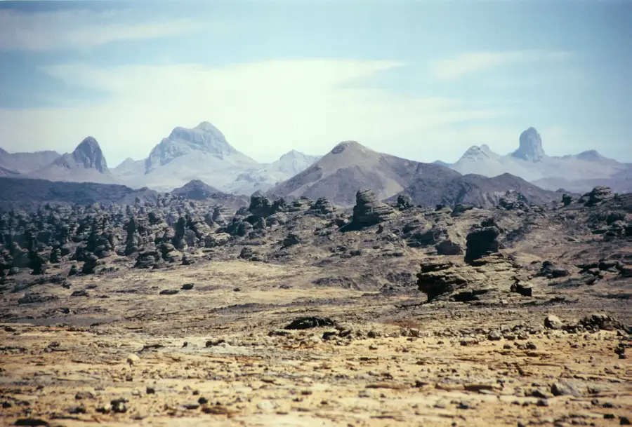
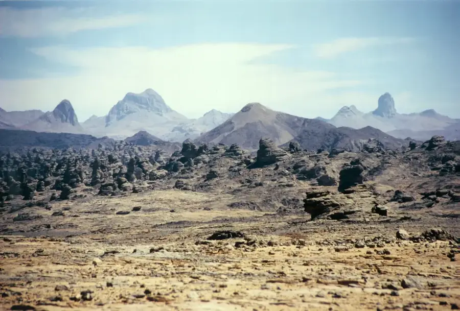
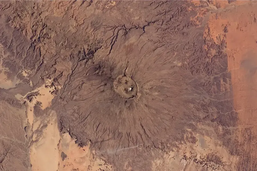
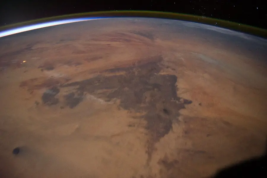
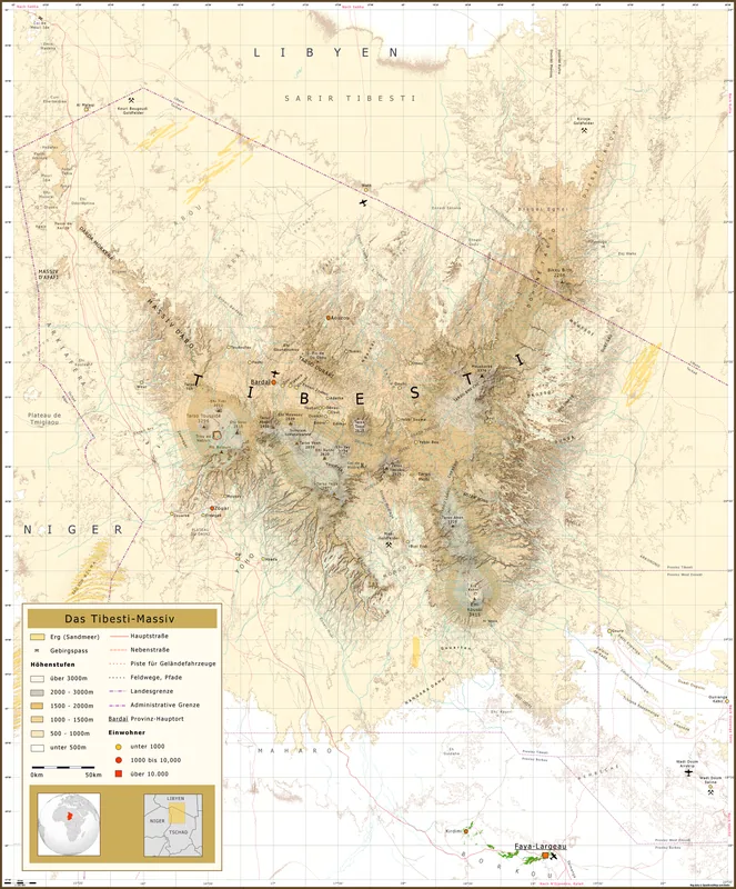
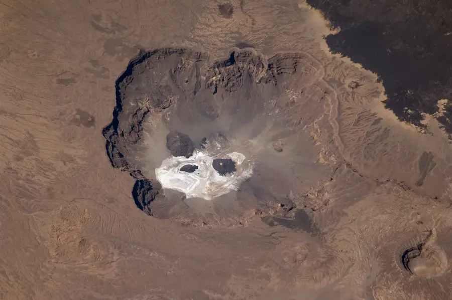
The Tchigai Plateau is an extremely remote and arid upland in the far north of Chad, situated near the borders with Libya and Niger. This geological formation is part of the central Saharan basin and consists of a combination of volcanic rocks and expansive sandstone plateaus. The landscape is dominated by endless gravel deserts (serir) and isolated rock massifs that rise to elevations of up to 1,000 meters. The climate is hyper-arid, with near-zero annual rainfall, making permanent vegetation virtually non-existent. Historically, the plateau served as a formidable barrier and a crucial navigational landmark for caravans traveling the central African trans-Saharan routes. Geomorphologically, the area features spectacular wind-sculpted formations called yardangs and vast dune fields that constantly reshape the relief. The region is currently almost uninhabited, though it is occasionally traversed by nomadic Tubu pastoralists. Scientifically, the plateau is of great interest due to its pristine geological structures and the presence of prehistoric rock art sites.
Best time to visit & climate
The most pleasant time to visit is Mar, Apr, Oct.
| Jan | Feb | Mar | Apr | May | Jun | Jul | Aug | Sep | Oct | Nov | Dec | |
|---|---|---|---|---|---|---|---|---|---|---|---|---|
| Avg °C | 11 | 14 | 19 | 24 | 28 | 30 | 29 | 30 | 28 | 23 | 17 | 12 |
| Rain mm | 0 | 0 | 0 | 1 | 2 | 2 | 0 | 3 | 0 | 1 | 0 | 0 |
📋 Practical info
Geography
Facts
- The plateau is located near the borders of Chad, Niger, and Libya.
- Its highest elevations reach approximately 1,000 meters.
- It is one of the driest regions in the entire Saharan desert.
- The geology is characterized by significant volcanic intrusions.
- Nomadic Tubu tribes traverse the region during seasonal movements.
- Prehistoric engravings and rock art have been discovered here.
Route planner — Car & Motorhome
Where do you start? We build the route here, with stops and country notes along the way.
© OpenStreetMap contributors · OpenRouteService
Sights nearby
Frequently asked questions
How difficult is hiking on the Tchigai Plateau?
When is the best time to visit the plateau?
Are there parking facilities on site?
Are there restrooms or restaurants at the Tchigai Plateau?
Is there a weather risk when hiking?
Tchigai Plateau: where is it located?
Tchigai Plateau: when is the best time to visit?
Tchigai Plateau: why is it worth visiting?

Nearby cities

History & landmarks

More places