Plizio Visual Lab
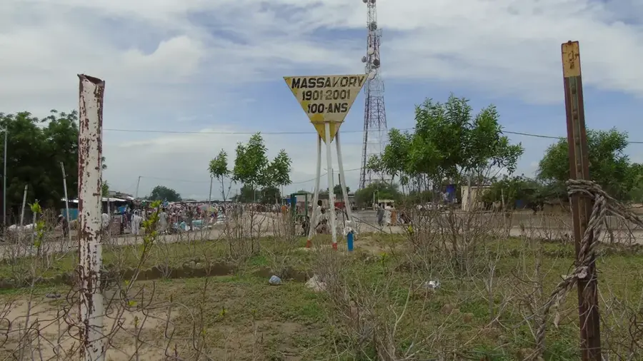
Massakory
ℹ️Practical info — Massakory
▾
🌤 Weather — 5 days
📍 Nearby
Sights nearby
💡 Tips
- Massakory is a key transit hub; use it as a safe stopover point when traveling north from N'Djamena.
- The local market is most active in the morning; it's the best time to find fresh produce from the region.
- Be prepared for high temperatures as there is very little natural shade in the town center.
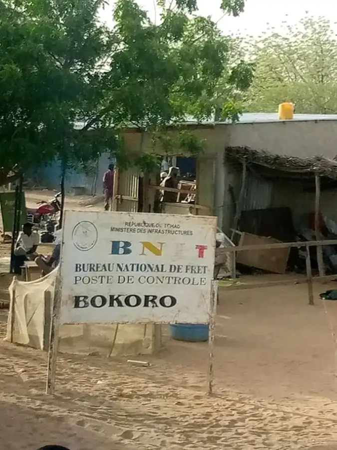
- Exercise discretion when taking photos near any government offices or security checkpoints.
🍽 Food
A common street snack, served hot and fresh, often enjoyed with sugar or a savory sauce.
🛍 Shopping · 🧘 Quiet spots
A great spot to restock on travel supplies like nuts, dried fruits, and bottled water.
The areas around smaller mosques on the outskirts offer a quieter atmosphere away from main road traffic.
Water temperature…
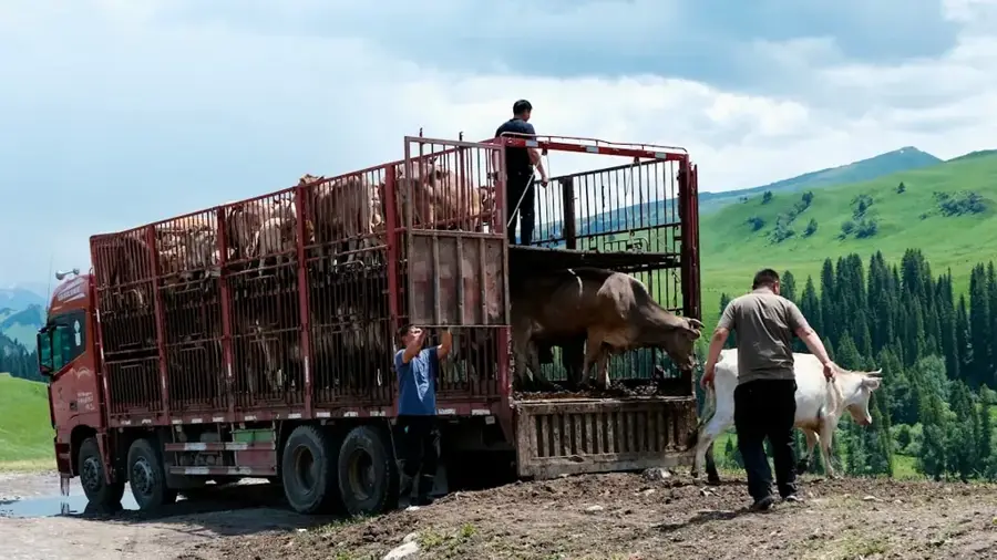
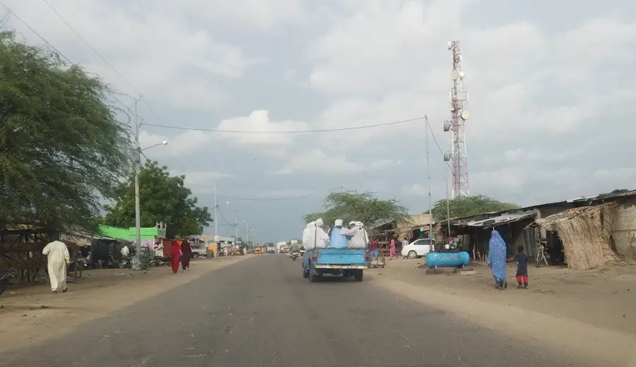
Massakory is the administrative capital of the Hadjer-Lamis region in western Chad, located approximately 145 kilometers northeast of the national capital, N'Djamena. The city serves as a significant commercial hub, particularly for its livestock market, where cattle, sheep, and goats from the surrounding rural areas are traded. Geographically, Massakory is situated in a transition zone between the Sahel and the Lake Chad basin, making the region an important grazing area for nomadic herders. Access to the capital is provided via a modernized paved road, which has significantly facilitated the transport of goods and people. With a population of about 16,000 residents, the city plays a central role in regional administration and public services. The local climate is characterized by a short rainy season and a long, hot dry season, focusing agriculture on the cultivation of millet and sorghum. Massakory remains a dynamic center for regional exchange and reflects the socio-economic developments in the vicinity of Lake Chad.
- Location: Chad
- Nearby: Massaguet (65 km)
- Population: ~39.944 (2026)
Best time to visit & climate
The most pleasant time to visit is Jan, Feb, Dec.
| Jan | Feb | Mar | Apr | May | Jun | Jul | Aug | Sep | Oct | Nov | Dec | |
|---|---|---|---|---|---|---|---|---|---|---|---|---|
| Avg °C | 23 | 26 | 30 | 34 | 35 | 34 | 30 | 28 | 28 | 29 | 27 | 23 |
| Rain mm | 0 | 0 | 0 | 1 | 16 | 41 | 125 | 188 | 68 | 16 | 0 | 0 |
Geography
Facts
- Administrative capital of the Hadjer-Lamis region.
- Located 145 kilometers northeast of N'Djamena.
- Significant regional market for cattle and livestock.
- Connected to the capital by a paved national highway.
- Population is estimated at approximately 16,000.
- Major cultivation hub for millet and sorghum crops.
Explore nearby
Notable places around
Route planner — Car & Motorhome
Where do you start? We build the route here, with stops and country notes along the way.
© OpenStreetMap contributors · OpenRouteService
Sights in the town Massakory (1)
Frequently asked questions
What is Massakory known for?
How long should I stay in Massakory?
Are there markets in Massakory?
What is the climate like in Massakory?
Do I need a guide for Massakory?
Massakory: where is it located?
Massakory: when is the best time to visit?
Massakory: why is it worth visiting?

Nearby cities
More places