Plizio Visual Lab
Bahr el Gazel Route
Weather…
Water temperature…
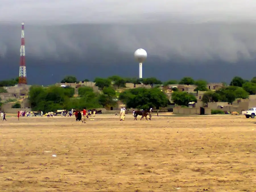
The Bahr el Gazel route follows an ancient riverbed that extends from the eastern shores of Lake Chad toward the northeast into the Bodélé Depression. Historically, this valley was a primary drainage channel of the 'Mega-Chad' during more humid climatic periods, and it remains a vital geographical feature in the modern landscape of Chad. The route has served as a critical corridor for human migration and trans-Saharan trade for millennia, connecting the interior of Africa with the oases of the north and the Mediterranean coast. Along its banks, numerous archaeological sites have been discovered, including evidence of Neolithic settlements and early iron-working cultures. The valley also plays a significant role in paleontology, as its sediments have yielded important fossils, including the early hominid Abel (Australopithecus bahrelghazali), which provided new insights into human evolution. In the contemporary era, the Bahr el Gazel is a seasonal watercourse that supports pastoralist communities and their herds during the dry season, providing access to essential wells.
- Location: Chad
- Nearby: Moussoro (4 km)
Best time to visit & climate
The most pleasant time to visit is Jan, Feb, Dec.
| Jan | Feb | Mar | Apr | May | Jun | Jul | Aug | Sep | Oct | Nov | Dec | |
|---|---|---|---|---|---|---|---|---|---|---|---|---|
| Avg °C | 22 | 26 | 29 | 33 | 35 | 34 | 31 | 28 | 29 | 30 | 26 | 23 |
| Rain mm | 0 | 0 | 0 | 0 | 9 | 28 | 103 | 163 | 53 | 11 | 0 | 0 |
📋 Practical info
Geography
Facts
- Bahr el Gazel means 'River of Gazelles' in Arabic.
- The early hominid fossil 'Abel' (Australopithecus bahrelghazali) was found here in 1995.
- The valley was part of the expansive Mega-Chad lake system 6,000 years ago.
- It remains a primary migratory route for pastoralist communities in modern Chad.
- Archaeological sites along the route show evidence of early iron-working cultures.
- The dry riverbed occasionally flows following rare and heavy seasonal rains.
Explore nearby
Notable places around
Route planner — Car & Motorhome
Where do you start? We build the route here, with stops and country notes along the way.
© OpenStreetMap contributors · OpenRouteService
Sights nearby
Frequently asked questions
What is the Bahr-el-Gazel route?
Is it passable today?
Are there attractions along the route?
Is it safe to travel on?
Is a satellite phone needed?
Bahr el Gazel Route: where is it located?
Bahr el Gazel Route: when is the best time to visit?
Bahr el Gazel Route: why is it worth visiting?