Plizio Visual Lab
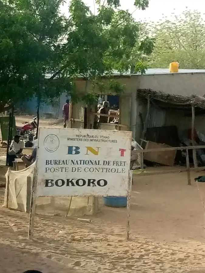
Hadjer-el-Hamis

Weather…
Water temperature…
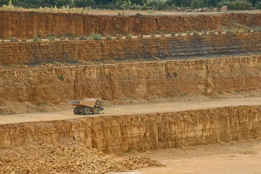
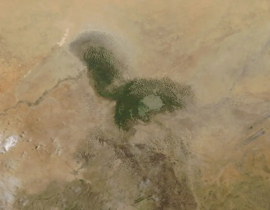
Hadjer-el-Hamis, also known as the 'Elephant Rocks,' is a group of five prominent volcanic plugs rising abruptly from the plains north of N'Djamena. Located near Lake Chad and the Chari River, these geological formations are primarily composed of rhyolite, an acidic volcanic rock. The rocks are the remains of ancient volcanic vents whose surrounding softer rock has eroded away over millions of years. For the local population, the rocks hold significant cultural and religious importance, serving as sites for traditional ceremonies. The highest peak rises about 200 meters above the surrounding savanna, offering expansive views across the Lake Chad basin. Geologically, they belong to a chain of volcanic activity associated with regional rift systems. The distinct shape of the rocks resembles a group of elephants from a distance, giving them their popular name. During the rainy season, the rocks are surrounded by lush green grasslands, contrasting sharply with the reddish rock. The area is a key destination for geological research and local tourism.
- Location: Chad
- Nearby: Lake Chad (64 km)
Best time to visit & climate
The most pleasant time to visit is Jan, Feb, Dec.
| Jan | Feb | Mar | Apr | May | Jun | Jul | Aug | Sep | Oct | Nov | Dec | |
|---|---|---|---|---|---|---|---|---|---|---|---|---|
| Avg °C | 23 | 27 | 31 | 34 | 35 | 34 | 31 | 28 | 29 | 30 | 27 | 24 |
| Rain mm | 0 | 0 | 0 | 1 | 12 | 47 | 116 | 183 | 68 | 18 | 0 | 0 |
📋 Practical info
Geography
Facts
- Consists of five isolated volcanic plug remnants.
- Located approximately 70 km north of the capital, N'Djamena.
- Primary rock type is rhyolite, a volcanic rock.
- The tallest formation rises about 200 meters above the plain.
- The name translates to 'Thursday Rock' in Arabic.
- Significant site for religious practices of local communities.
Explore nearby
Notable places around
Route planner — Car & Motorhome
Where do you start? We build the route here, with stops and country notes along the way.
© OpenStreetMap contributors · OpenRouteService
Sights nearby
Frequently asked questions
What is Hadjer-el-Hamis?
Is Hadjer-el-Hamis open to tourists?
What gear is needed on site?
What is the terrain like?
When should one consider a trip?
Hadjer-el-Hamis: where is it located?
Hadjer-el-Hamis: when is the best time to visit?
Hadjer-el-Hamis: why is it worth visiting?

Nearby cities
More places