Plizio Visual Lab
Damara
ℹ️Practical info — Damara
▾
🌤 Weather — 5 days
📍 Nearby
Sights nearby
💡 Tips
- Security is a major consideration; always check current travel advisories and travel with local contacts or a reputable guide.
- Road conditions from Bangui can be rough, so a 4x4 vehicle is recommended.
- Cash is king here, so bring enough CFA francs from Bangui.
- Photography of military or official buildings is strictly forbidden and can cause serious trouble.
🍽 Food
Nile perch, often grilled or served in a spicy sauce, found in local eateries.
Fish or meat wrapped in cassava leaves and steamed, a traditional local delicacy.
The dense, starchy cassava bread served with most meals.
🛍 Shopping · 🧘 Quiet spots
Buy directly from the roadside vendors for the freshest mangoes and bananas.
Sometimes available from artisans in the area, offering a rustic souvenir.
Take a guided nature walk to appreciate the serene environment away from the town center.
Quiet spots to observe the lush vegetation and local birdlife.
Water temperature…
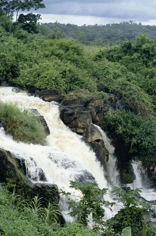
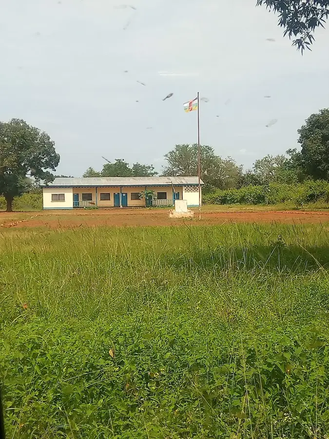
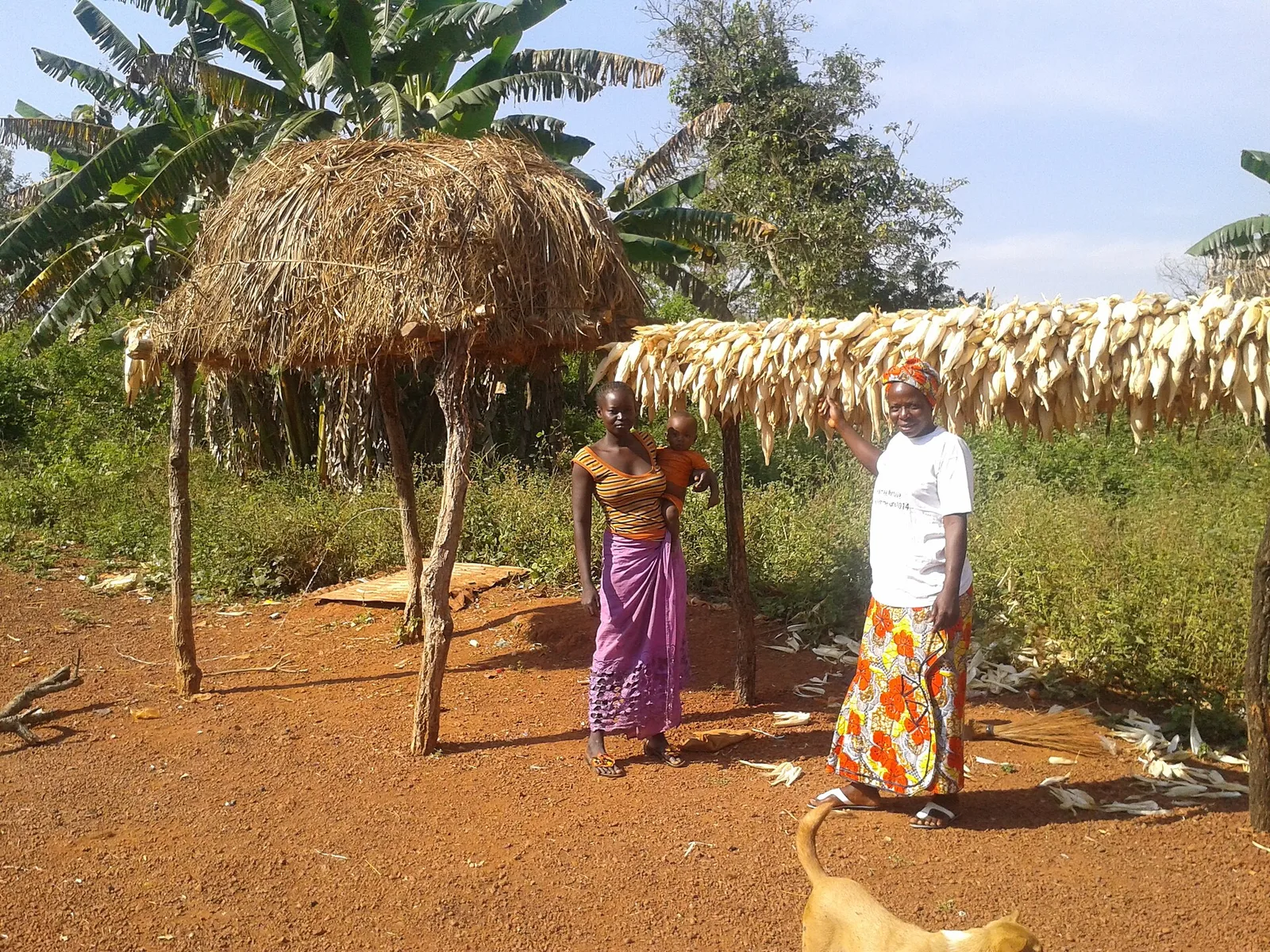
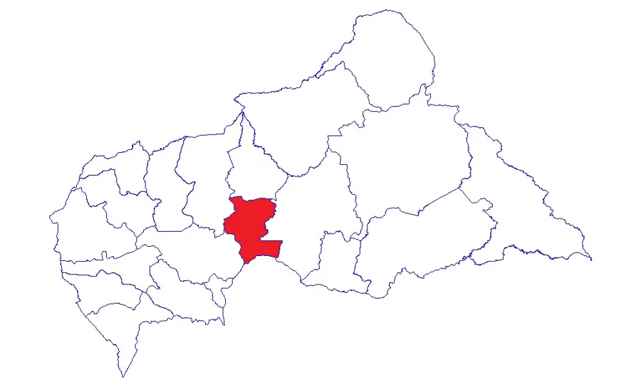
Damara is a strategically vital town in the Ombella-M'Poko prefecture, located approximately 75 kilometers north of the capital, Bangui. Situated at the junction of the primary highways linking the south to the north and east of the country, Damara serves as a critical logistical hub and checkpoint. Historically, the town has frequently functioned as a buffer zone and an essential military base to secure the capital during various political crises. The region's geography is characterized by open savanna landscapes, which are good for livestock herding and the large-scale cultivation of staple crops such as cassava, maize, and peanuts. The town's economy is significantly driven by transit trade and local markets, where agricultural goods from the hinterland are traded. The population is composed of various ethnic groups, with the Mandja and Banda being the most prominent, resulting in a lively cultural atmosphere. Infrastructurally, Damara hosts important administrative offices, schools, and medical facilities that support the surrounding rural hamlets. The town remains a symbol of strategic control over the transportation routes that are central to the supply and stability of the entire nation.
- Location: Central African Republic
- Nearby: Bogangolo (26 km)
- Population: ~9.117 (2023)
Best time to visit & climate
The most pleasant time to visit is Jan, Nov, Dec.
| Jan | Feb | Mar | Apr | May | Jun | Jul | Aug | Sep | Oct | Nov | Dec | |
|---|---|---|---|---|---|---|---|---|---|---|---|---|
| Avg °C | 28 | 29 | 28 | 27 | 27 | 26 | 25 | 25 | 25 | 25 | 26 | 26 |
| Rain mm | 7 | 42 | 99 | 105 | 124 | 151 | 196 | 196 | 188 | 207 | 65 | 7 |
Geography
Facts
- Damara is a key junction for roads heading to Sibut and Kaga-Bandoro.
- The town is located approximately 75 kilometers north of Bangui.
- Damara is considered the northern 'gateway to the capital'.
- The region is known for the cultivation of high-quality millet.
- The town holds strategic importance for national security.
- Damara hosts a significant regional livestock market.
Explore nearby
Notable places around
Route planner — Car & Motorhome
Where do you start? We build the route here, with stops and country notes along the way.
© OpenStreetMap contributors · OpenRouteService
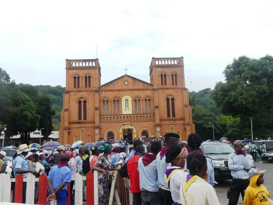
Sights in the town Damara (1)
Frequently asked questions
Where is Damara located?
What is the significance of Damara?
What can you buy at the market?
Is there a police checkpoint there?
What is the terrain like?
Damara: where is it located?
Damara: when is the best time to visit?
Damara: why is it worth visiting?

Nearby cities

History & landmarks

More places