Plizio Visual Lab
Mont M'Poko
Weather…
Water temperature…
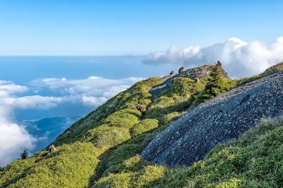
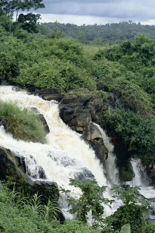
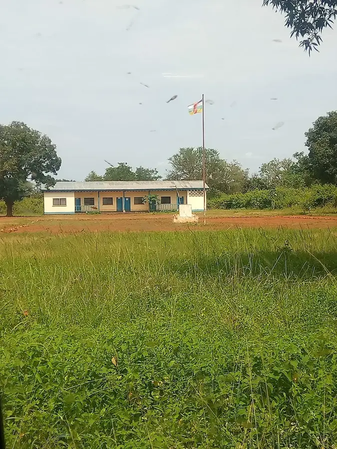
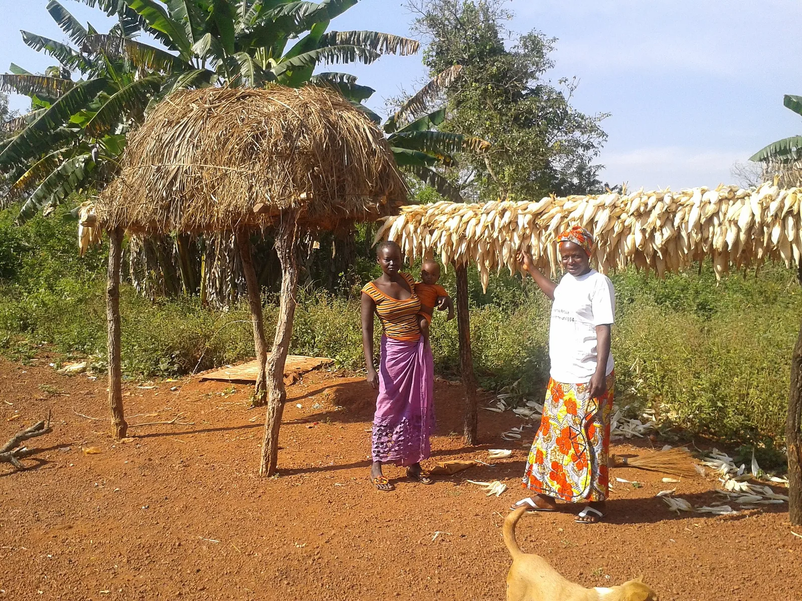
Mont M'Poko is a significant elevation located near the river of the same name in the Ombella-M'Poko prefecture. This mountain shapes the relief southwest of the capital Bangui and provides a natural barrier that influences local weather patterns. Geographically, Mont M'Poko is characterized by its gentle slopes and dense tropical vegetation extending to the summit. Geologically, the mountain is connected to the crystalline basement of the African shield and features rich lateritic soils. Historically, the area surrounding Mont M'Poko served as a settlement space for various ethnic groups who utilized the fertile valleys for cultivation. The nearby M'Poko River is a vital artery for transportation and fishing, underscoring the mountain's importance as a landmark. In recent years, pressure from expanding agricultural land has increased, reducing original forest cover on the lower slopes. Nevertheless, the summit area remains a key site for the preservation of local tree species and provides a sanctuary for native avifauna. The view from the mountain provides an outlook over the broad plains stretching toward the Ubangi River.
- Location: Central African Republic
- Nearby: Bogangolo (43 km)
Best time to visit & climate
The most pleasant time to visit is Jan, Nov, Dec.
| Jan | Feb | Mar | Apr | May | Jun | Jul | Aug | Sep | Oct | Nov | Dec | |
|---|---|---|---|---|---|---|---|---|---|---|---|---|
| Avg °C | 27 | 28 | 28 | 27 | 26 | 25 | 25 | 24 | 25 | 25 | 25 | 26 |
| Rain mm | 6 | 42 | 101 | 107 | 138 | 161 | 217 | 203 | 193 | 222 | 63 | 7 |
📋 Practical info
Geography
Facts
- Located in the Ombella-M'Poko prefecture southwest of Bangui.
- Named after the nearby M'Poko River.
- Geologically part of the ancient crystalline African shield.
- Shapes the local climate by influencing air currents.
- Lower slope areas are intensively used for agriculture.
- Significant sanctuary for the local bird population.
Explore nearby
Notable places around
Route planner — Car & Motorhome
Where do you start? We build the route here, with stops and country notes along the way.
© OpenStreetMap contributors · OpenRouteService
Sights nearby
Frequently asked questions
Where is Mont M'Poko located?
Can you go birdwatching there?
Is the path steep?
Are there souvenir shops?
When does the hiking season end?
Mont M'Poko: where is it located?
Mont M'Poko: when is the best time to visit?
Mont M'Poko: why is it worth visiting?

Nearby cities
History & landmarks
More places