Plizio Visual Lab
Boali
ℹ️Practical info — Boali
▾
🌤 Weather — 5 days
📍 Nearby
Sights nearby
💡 Tips
- The Boali Waterfalls are most impressive during the rainy season, but tread carefully on slippery paths.
- Negotiate a fee with a local guide to show you the safest viewpoints around the falls.
- Bring a waterproof bag for your electronics, as the mist from the waterfalls can be heavy.
- Transport from Bangui can be irregular; negotiate a round-trip with your driver to ensure a return.
- Dining options are sparse near the falls; pack a picnic or bring snacks from Bangui.
🍽 Food
Try locally caught fish, often served grilled at the small eateries near the waterfalls.
The staple side dish, perfectly paired with any grilled meat or fish.
🛍 Shopping · 🧘 Quiet spots
Small wooden crafts are sometimes offered by vendors near the main tourist spots.
Pick up some bananas or mangoes from roadside vendors to add to your picnic.
Visit on a weekday to avoid crowds and experience the natural roar in peace.
Walk upstream from the falls to find quieter, undisturbed natural scenery.
Water temperature…
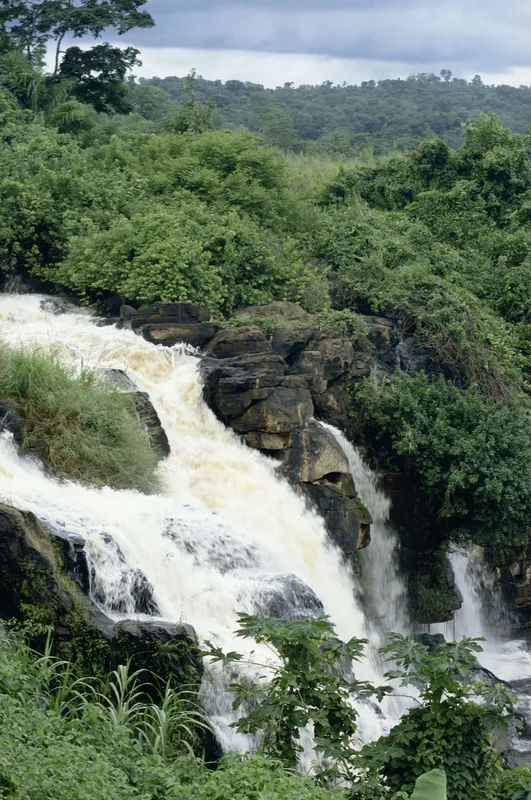
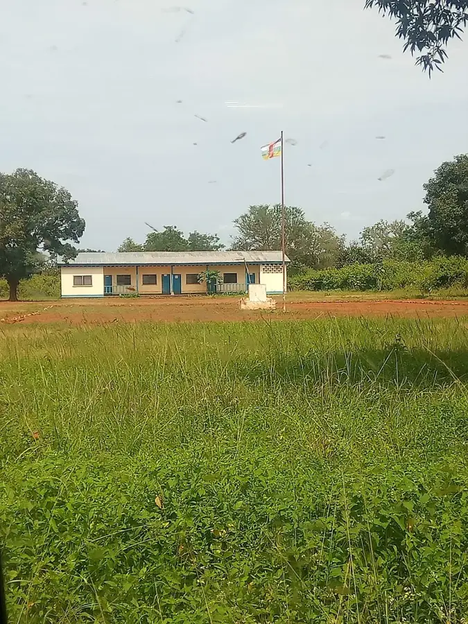
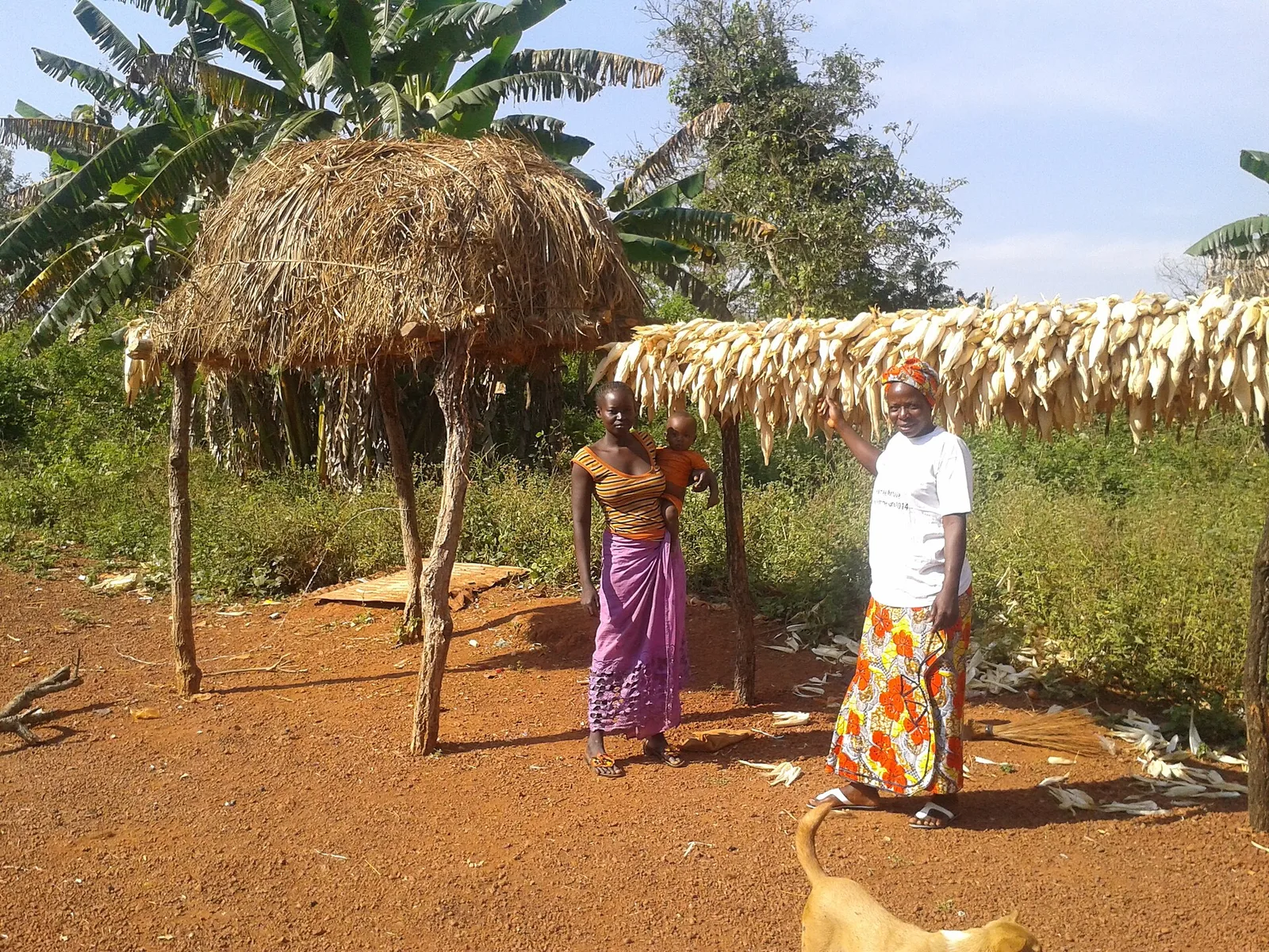
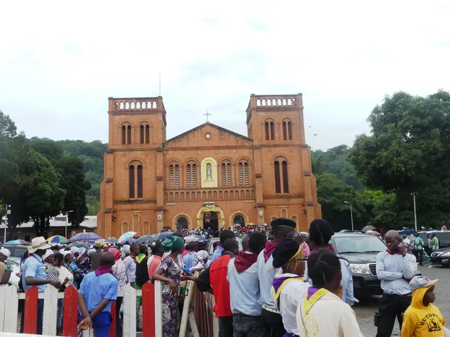
Boali is a town of strategic and touristic significance in the Ombella-M'Poko prefecture, located approximately 95 kilometers northwest of the capital, Bangui. The settlement is world-renowned for the magnificent Boali Falls on the M'Bali River, which stand 50 meters high and can reach 250 meters in width during the rainy season, making them one of Central Africa's most impressive natural spectacles. Beyond its natural beauty, the town is the heart of the national energy grid, hosting the country's primary hydroelectric power stations (Boali I, II, and III) that supply Bangui with electricity. The region's geography is defined by fertile river valleys and rolling hills that support productive agriculture. Historically, the energy infrastructure was initiated in the 1950s by French colonial authorities and has been continuously expanded since. Due to its proximity to the capital, Boali is a popular destination for day trips and benefits from relatively good transport links along the main highway to Cameroon. The local population, in addition to working at the power plants, primarily engages in cultivating cassava and bananas as well as local trade. Boali uniquely combines industrial importance for modern national infrastructure with the status of a major ecological heritage site.
- Location: Central African Republic
- Nearby: Bimbo (64 km)
- Population: ~18.090 (2023)
Best time to visit & climate
The most pleasant time to visit is Jan, Nov, Dec.
| Jan | Feb | Mar | Apr | May | Jun | Jul | Aug | Sep | Oct | Nov | Dec | |
|---|---|---|---|---|---|---|---|---|---|---|---|---|
| Avg °C | 27 | 28 | 28 | 27 | 26 | 25 | 25 | 24 | 25 | 25 | 25 | 26 |
| Rain mm | 6 | 42 | 101 | 107 | 138 | 161 | 217 | 203 | 193 | 222 | 63 | 7 |
Geography
Facts
- The Boali Falls stand approximately 50 meters high.
- The first hydroelectric plant, Boali I, opened in 1954.
- The town is located on the primary highway linking Bangui to Cameroon.
- Boali supplies nearly 80% of the electricity for the capital, Bangui.
- The M'Bali River is the principal water source for the local area.
- Numerous crocodiles inhabit the waters at the base of the falls.
Explore nearby
Notable places around
Route planner — Car & Motorhome
Where do you start? We build the route here, with stops and country notes along the way.
© OpenStreetMap contributors · OpenRouteService
Frequently asked questions
What is the main attraction in Boali?
When is the best time for the falls?
How far is Boali from Bangui?
Are there entry fees for the falls?
Is there a restaurant on site?
Boali: where is it located?
Boali: when is the best time to visit?
Boali: why is it worth visiting?

Nearby cities
History & landmarks

More places