Plizio Visual Lab
Bossembélé
ℹ️Practical info — Bossembélé
▾
🌤 Weather — 5 days
📍 Nearby
Sights nearby
💡 Tips
- Travel on the roads to Bossembélé during daylight hours, as road conditions can be treacherous at night.
- Bring plenty of cash with you, as ATMs are practically non-existent and card payments are not accepted.
- Learn a few basic words in Sango or French, as English is rarely spoken in this area.
- Because it's a major transit hub on the road to Cameroon, there is heavy truck traffic; be cautious as a pedestrian.
- Dress modestly and respect local customs in this predominantly rural setting.
🍽 Food
A local staple. Try it at small street-side eateries served with a hearty peanut sauce.
Grab freshly grilled, spicy meat skewers from the bustling stalls along the main transit road in the evenings.
An excellent, slightly sweet snack that you can find freshly prepared at almost any market stall.
🛍 Shopping · 🧘 Quiet spots
Buy fresh pineapples, mangoes, and bananas directly from the vendors along the main transit route.
Visit the local market in the center for regional spices and simple handcrafted household items.
The courtyards of the church missions often provide a peaceful, shaded retreat from the noise of the main road.
A short walk to the edge of the town brings you into a quieter environment characterized by nature and local agriculture.
Water temperature…
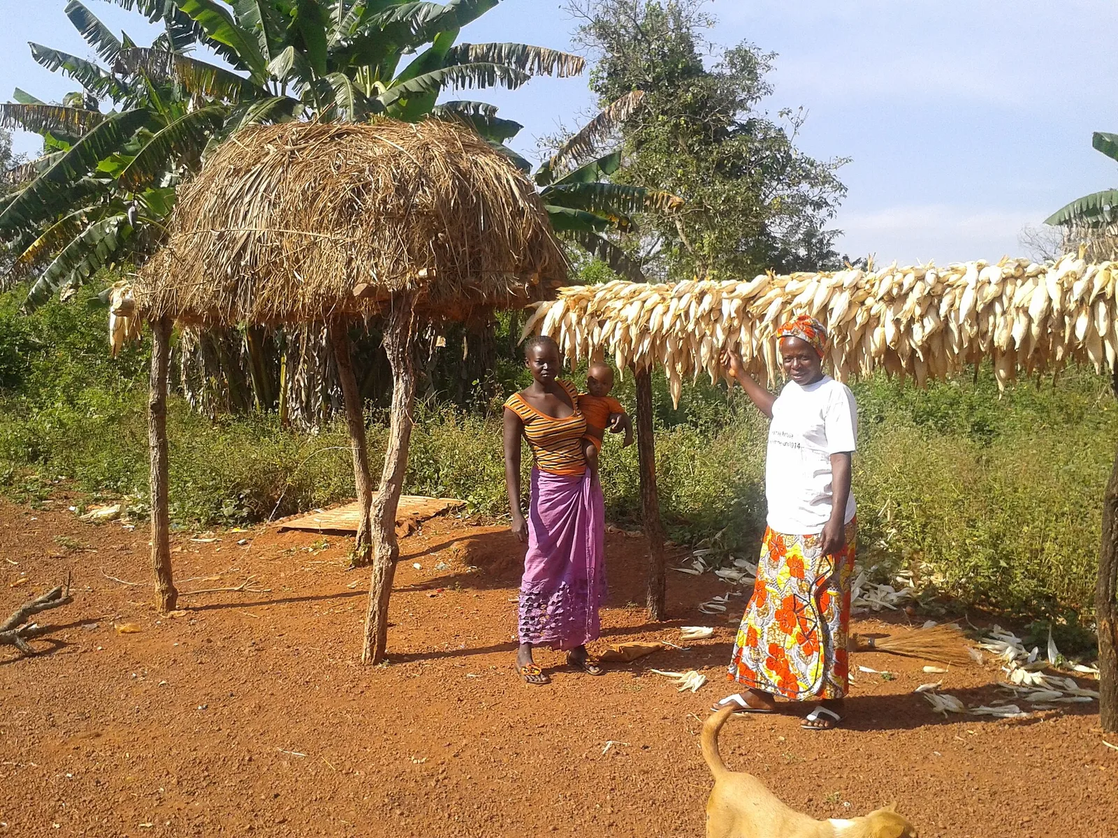
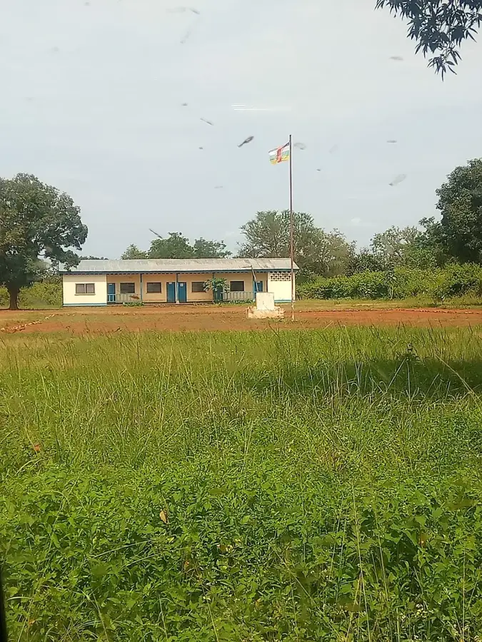
Bossembélé is located in the southwestern part of the Central African Republic within the Ombella-M'Poko prefecture, serving as one of the country's most critical transportation hubs. The city sits at the strategic junction of National Road 1, which connects the capital Bangui to the north, and National Road 3, which leads toward the Cameroonian border. This geographic positioning makes it a central transit point for commercial goods and agricultural products moving across the region. Historically, the settlement developed during the colonial era as an administrative outpost and grew steadily alongside infrastructure improvements. Geographically, the area is defined by a hilly savanna landscape, providing fertile ground for the cultivation of cassava, maize, and groundnuts. Despite the challenges posed by regional instability, Bossembélé remains a vital link in the national supply chain. The local population is predominantly made up of the Gbaya ethnic group, who significantly shape the city's cultural identity and social structure.
- Location: Central African Republic
- Nearby: Yaloké (62 km)
- Population: ~17.203 (2023)
Best time to visit & climate
The most pleasant time to visit is Jan, Nov, Dec.
| Jan | Feb | Mar | Apr | May | Jun | Jul | Aug | Sep | Oct | Nov | Dec | |
|---|---|---|---|---|---|---|---|---|---|---|---|---|
| Avg °C | 26 | 28 | 28 | 27 | 26 | 25 | 24 | 24 | 24 | 24 | 25 | 25 |
| Rain mm | 4 | 29 | 100 | 100 | 137 | 157 | 239 | 214 | 241 | 213 | 42 | 5 |
Geography
Facts
- Located approximately 150 kilometers northwest of the capital, Bangui.
- Major road junction connecting National Routes RN1 and RN3.
- Part of the Ombella-M'Poko prefecture in administrative terms.
- The surrounding region is a primary producer of cassava.
- Served as a strategic military outpost during the colonial period.
- Average elevation is approximately 650 meters above sea level.
Explore nearby
Notable places around
Route planner — Car & Motorhome
Where do you start? We build the route here, with stops and country notes along the way.
© OpenStreetMap contributors · OpenRouteService
Frequently asked questions
When is the best time to visit Bossembélé?
How to reach Bossembélé?
What is the typical local food?
How many days should you plan?
Is Bossembélé family-friendly?
Bossembélé: where is it located?
Bossembélé: when is the best time to visit?
Bossembélé: why is it worth visiting?

Nearby cities
History & landmarks
More places