Plizio Visual Lab
Sibut

ℹ️Practical info — Sibut
▾
🌤 Weather — 5 days
📍 Nearby
Sights nearby
💡 Tips
- As a major transport hub, Sibut is a great place to find onward transport, but confirm prices before boarding.
- The town gets busy with passing truck drivers, making the main road area lively but noisy.
- Security conditions can fluctuate along the northern routes, always verify locally before traveling further.
- Try the street food near the vehicle parking areas for cheap and authentic bites.
🍽 Food
Grilled meat skewers generously spiced, sold by street vendors near the transport hub.
A quick and safe snack widely available from roadside sellers.
Incredibly sweet and easily found fresh at the central transit market.
🛍 Shopping · 🧘 Quiet spots
The best place to stock up on provisions, water, and fresh fruit before long journeys.
Hand-woven storage baskets made by local communities, occasionally sold near the main road.
Functional clay pots and cooking wares found in the village areas.
Step away from the dusty main road to find a quieter atmosphere by the river.
Take a short walk away from the central truck stop to see traditional neighborhood life.
Water temperature…
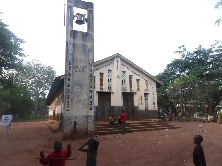
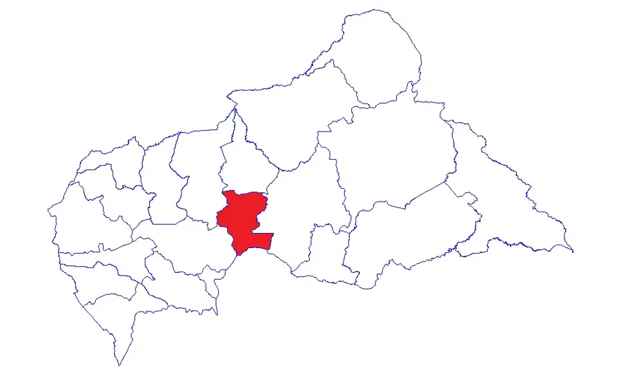
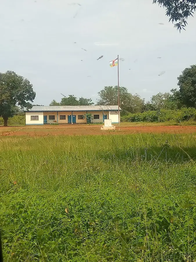
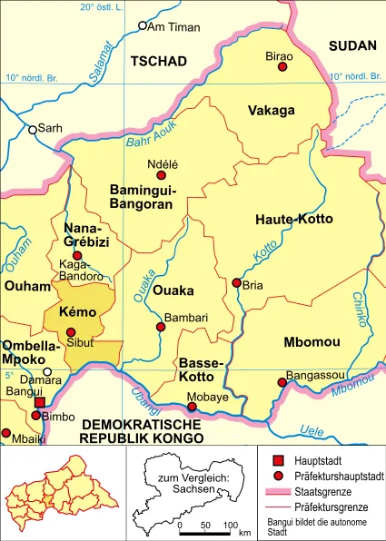
Sibut is the capital of the Kémo prefecture in the Central African Republic, situated about 188 kilometers northeast of Bangui. The town was founded in 1899 under the name Fort-Sibut and, due to its location on the Gribingui River, became a strategically important post for French northward expansion. Today, Sibut functions as one of the country's most significant transportation hubs, as it is the junction where the main roads connecting the capital to the north and east meet. The town's economy is primarily based on agriculture, particularly cotton cultivation and food crops such as cassava and maize. Because of its role as a transit station, the town features a bustling marketplace where local produce and trade goods from various regions are exchanged. Historically, the area around Sibut served as a starting point for expeditions into the Chad Basin. The landscape is characterized by hilly savannah, marking the transition to the wetter forest belt in the south. The town houses important administrative buildings and acts as a supply center for the rural areas of the Kémo prefecture.
- Location: Central African Republic
- Nearby: Mala (52 km)
- Population: ~31.986 (2026)
Best time to visit & climate
The most pleasant time to visit is Jan, Nov, Dec.
| Jan | Feb | Mar | Apr | May | Jun | Jul | Aug | Sep | Oct | Nov | Dec | |
|---|---|---|---|---|---|---|---|---|---|---|---|---|
| Avg °C | 27 | 29 | 28 | 27 | 27 | 26 | 25 | 25 | 25 | 25 | 25 | 26 |
| Rain mm | 5 | 33 | 94 | 100 | 124 | 155 | 209 | 194 | 217 | 211 | 52 | 3 |
Geography
Facts
- Capital city of the Kémo prefecture in central CAR.
- Founded in 1899 as Fort-Sibut by French explorers.
- Located on the banks of the strategic Gribingui River.
- Positioned approximately 188 kilometers northeast of Bangui.
- Key road junction connecting Bangui to northern territories.
- Regional hub for cotton production and agricultural trade.
Explore nearby
Notable places around
Route planner — Car & Motorhome
Where do you start? We build the route here, with stops and country notes along the way.
© OpenStreetMap contributors · OpenRouteService
Frequently asked questions
What is the significance of Sibut for transport?
What is the local specialty?
Are there attractions nearby?
How is the security situation?
When should you pass through Sibut?
Sibut: where is it located?
Sibut: when is the best time to visit?
Sibut: why is it worth visiting?